The first sight on the next day was "Snorri's Pool". According to my trusty travel guide "With the possible exception of Helgafell at Stykkishólmur, no saga site in Iceland is quite as haunting as as Snorri's pool, a circular bath four metres in diameter. It is lined with stones and fed by a stone aqueduct from the Skrifla hot spring 100 metres away. Sheltered by the low hill Skáneyjarbunga to the north, the pool could be used for bathing all year round." (Snorri Sturluson was 'one of the greatest figures in Icelandic literary history and wrote the Egils Saga around 1230.)
Didn't take long to get there, since the pool was less than hundred feet from my hotel. And it did turn out to be the most disappointing site I've seen in Iceland. While it was nice to see at Alþing (the ancient parliament site) that they aren't too reverential towards historic sites, in this case they ignored their sagas too much, because they've build a modern school building right next to it (less than ten feet away) and though it what was described as "no saga site in Iceland is quite as haunting as Snorri's pool", it looks little more like a deserted goldfish pond next to a concrete building. A bit more distance would have been welcome.
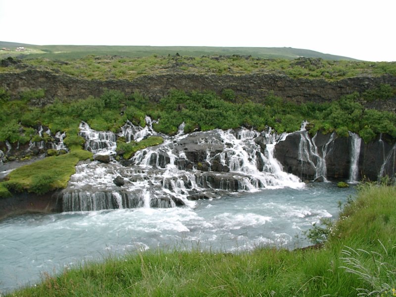
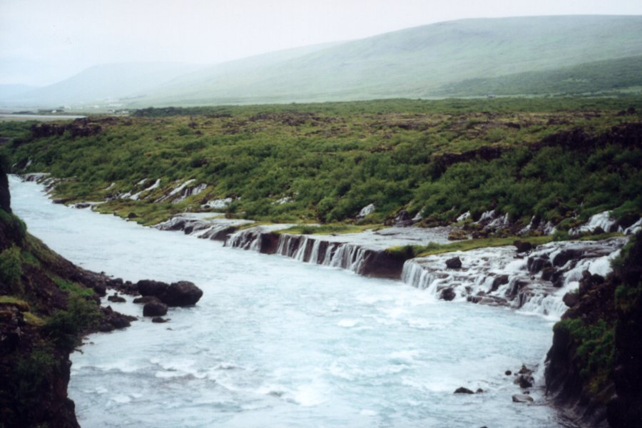
After taking a short look at the pool I drove to the Hraunfossar and the Barnafoss waterfalls. Barnafoss is rather nondescript, but Hraunfossar is interesting, because it looks like a waterfall without a river. At the length of about half a mile, water comes out of the rock and tumbles down. The reason for that is the porosity of the volcanic rock. So when the river runs through an area, where volcanic rock lies over solid rock, part of the river runs through the volcanic rock and comes out somewhere else. And Hraunfossar is such a place where the water comes out of the rock and falls down to the lower river bed.
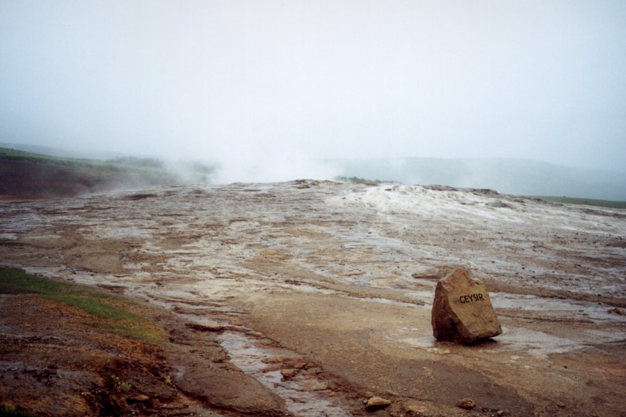
From there I went back to the costal road and drove to the geysir area. Geysir itself was active, which wasn't actually that impressive, but it was a sight not to be missed. My favorite quote about geysirs: "Although tourists make a lot of fuss over Iceland's geysirs, some locals maintain that the famous fountains are just a variation on Icelandic rain, which falls in every other direction. Why not up?"
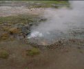
Pedant note: Geysir is the name of one of the geysirs in that area. Rather obviously, the word 'geysir' has its source in the name of this one. So, in a certain sense, it's the granddaddy of all the worlds geysirs. But the boring thing about it (at least for the last century or so) was that it didn't erupt. It was quite active since the 14th century, but about a hundred years ago (some books say almost 200 years ago) it stopped erupting. And don't believe the postcards and pictures that show Geysir erupting. They aren't fakes, but they are the result of a certain amount of trickery. Traditionally, they poured tons of soap into Geysir on every 17th of June (the Icelandic Independence Day), which lowered the tension of the water and made the Geysir erupt. So all pictures you can buy of Geysir erupting have been made on a 17th of June and are from artificially induced eruptions. But they stopped doing that about a decade ago, so Geysir was dormant. But then, about a month before I went to Iceland, there were two earthquakes there. And after the earthquakes, Geysir started working again. The eruptions aren't that big or exciting and they aren't that frequent (about once every one or two hours), but I stood around in the rain for more than two hours to see it sprout water, mostly to be able to say that I've seen Geysir erupt. It might stop erupting with the next earthquake (which might happen at any time) and lie dormant for another century, so it's nice to have been there when it was active.
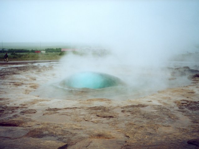
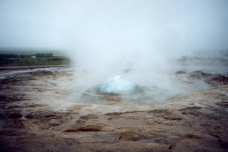
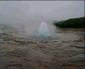
More exciting is Strokkur, which is another geysir (about 200 yard from Geysir) and is touristically more interesting. It erupts every few minutes with a nice 60 feet high jet of water. Especially interesting is the half-second at the start of the eruption. A geysir isn't like a fountain of water where the water itself is propelled upwards, it's more like a pressure cooker where a big bubble of steam builds up underground and pushes upwards. So right when the bubble comes up, it pushes the layer of water a bit upwards, so it builds a little watery dome, before the steam pushes through and shoots upwards. So for a small moment it looks like a big blue eye coming out of the ground. Looking at the picture, you could imagine a giant rock monster lying in the ground and awaking. With views like that, I am surprised that Cthulhu is not an Icelandic myth. :-)
Here are some short video clips from that area:
MPEG 1.3 MB 9 Seconds |
MPEG 4.2 MB 29 Seconds |
MPEG 4.2MB 29 Seconds |
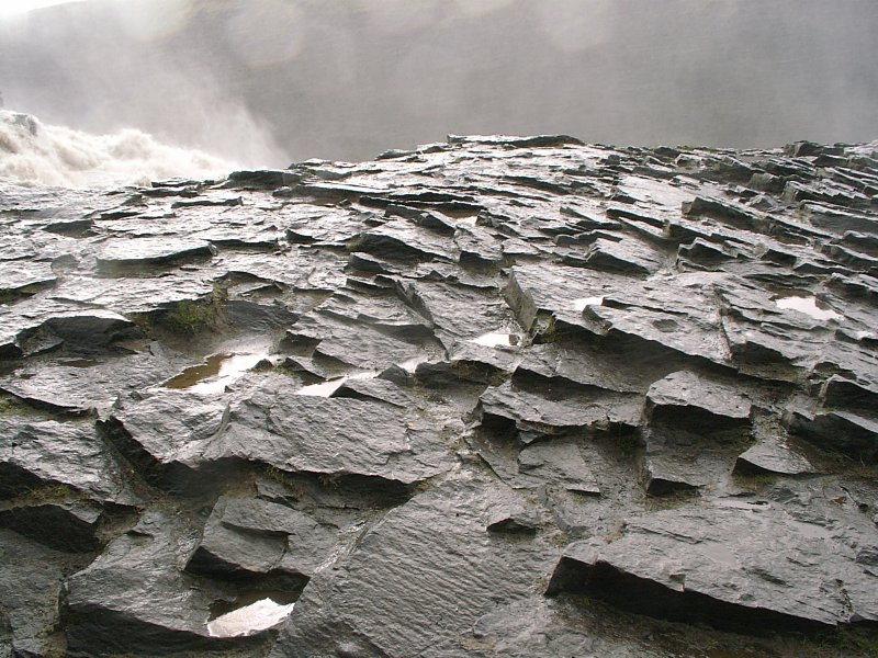
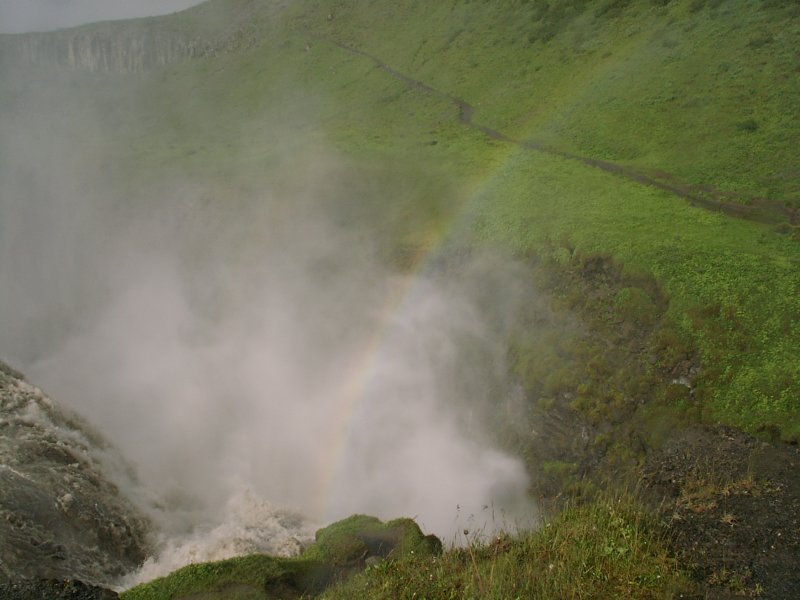
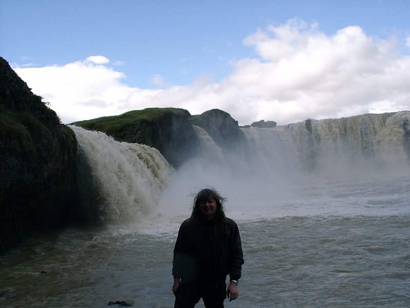
The next day started with a short detour to the Gullfoss waterfall. It's probably the best known waterfall in Iceland and the one everyone gets to see, since it's part of the 'Golden Circle Tour' (which is the standard day tour all short time visitors take from Reykjavik and which covers the Geysir, the Alþing and the Gullfoss waterfall). It's a fairly big waterfall (not quite Niagara Falls size, but impressive enough and less tacky :-) and actually consists of two falls. The rain had also stopped and the sun started to come out, so there was even a little rainbow over the falls.

Short video:
MPEG 633 KB 4 Seconds |
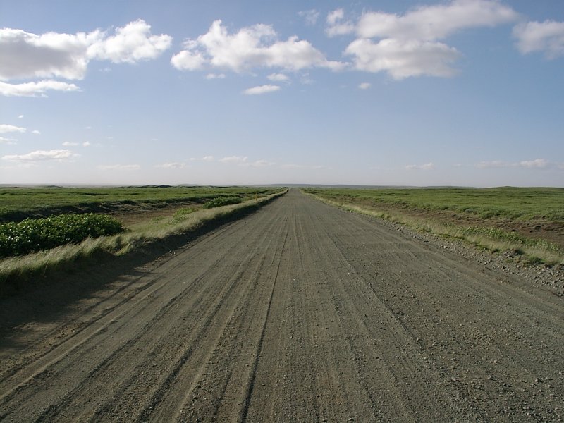
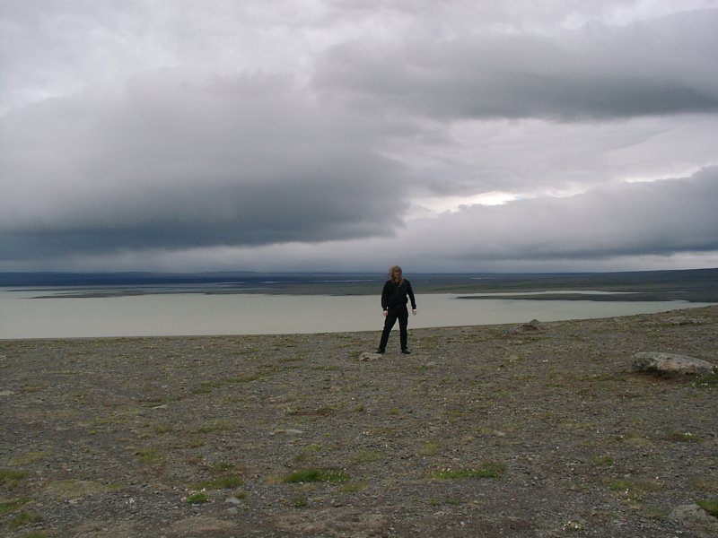
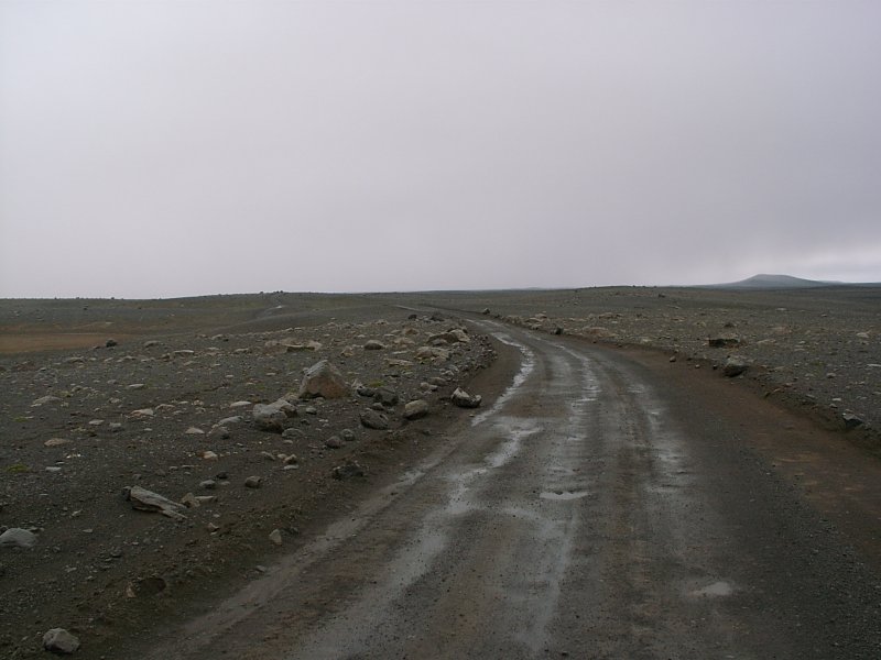
Then it was time for my first long interior drive (the other one was 'only' a short track). About 120 miles along sand and mud tracks through the 'varied highland' (as my tour description had it).
Since I wanted to be very careful with the second rental car, I didn't dare to go faster than 25 mph, so it was a long drive (about seven hours, since I often went slower) through a dull area.
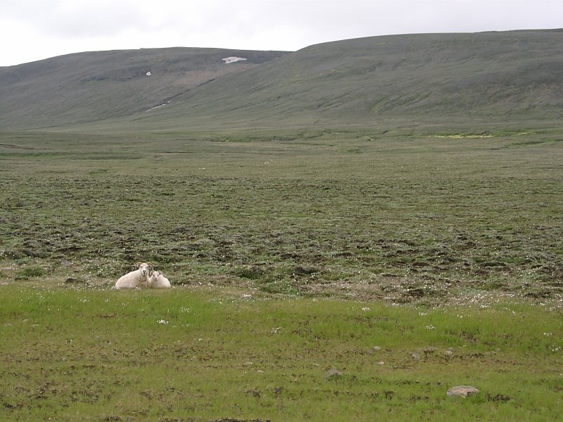
I don't know why they mentioned diversity, because basically it was 60 miles of rocks and stone and gravels and sand and another 60 miles of green grass with rocks and sheep in it. A bit like Scottland, including the sheep, just bigger. They probably would call a snowy field 'varied' on account that no two snowflakes (supposedly) look the same. Yes, the rocks might have looked differently, but still it seemed rather dull driving there.
And I didn't figure out in advance how boring it is to drive there. So while 'Iceland interior 4x4 adventure' sounded nice in the brochure, the interior stuff was less exciting to actually do. I think, what annoyed me most about that drive was the fact that there was nothing interesting on the way. It's one thing to drive all day to see something impressive that is far away from civilization and few people get to see, and another thing to drive all day along a dull road, only to be able to say that you have driven through Iceland's interior.

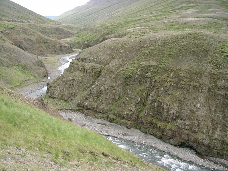
The next day is pretty easy to summarizee. I drove to Akureyri. Akureyri is the only 'large' town on the north coast. It was a short drive with a bit of nice scenery at the sides (a river running down a gorge, cragged mountains). Nothing spectacular, but good places to stop and just walk around a bit. Just a normal vacation day.
I arrived at Akureyri about noon and did the usual city things, like looking for english books in the bookshops, getting a sandwich at Subways, having an espresso at the next outdoor coffee shop and generally walking around a bit. I was starting to get really into vacation mode, so there's not much specifically to write about.
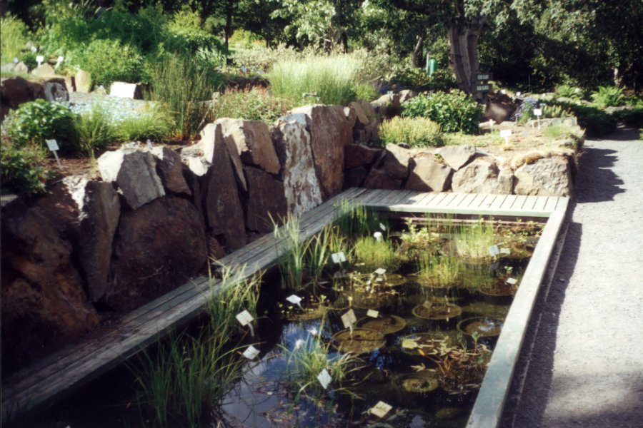
The only remarkable thing was the botanic garden. While I'm usually not too fascinated by plants, there wasn't much to do in Akureyri and the botanic garden was about two minutes walk away from my hotel, so I took a look. The botanic garden is quite pleasant and they are fairly proud of having a (comparatively) warm climate there (just about 10 miles below the arctic circle), so they have some plants growing there which come from much warmer places like Spain or New Zealand.
What I found more interesting was some water bassin, about one foot deep, which had about twenty plants submerged, complete with flower pots on the bottom. While this was probably some display of aquatic plants, it somehow looked like the plant equivalent of the old movies when they would throw someone in the river with cement shoes. My first reaction to that bassin was: "Oh, these are the plants that fell into disfavor with the local floral mafia." (Followed by a bit of speculation how you give the plants their first warning. Probably a bee's head put right next to the plant into the flower bed. :-)
And here's a bit of helpful travellers advice: If you have an idea running through your head and you're afraid you're going to forget it on the way to your room and your hotel key has a nice big white plastic label with the room number attached to it, make sure that the pen you use to write a short note down on the key label is not an indelible marker used for writing on transparencies. Otherwise you will spend the rest of your evening in your hotel room, trying to scrub the writing off...
Something else about Akureyri: They seem to think that THX is the abbrevation for loud. I went to see Mission Impossible 2 in the local THX cinema and it was the loudest cinema I've ever been to. I probably have been to rock concerts less noisy. I didn't mind though. For a brainless action movie like that, it felt appropriate.
Next day I spend some time in some park near Akureyri, before driving on to Myvatn lake.
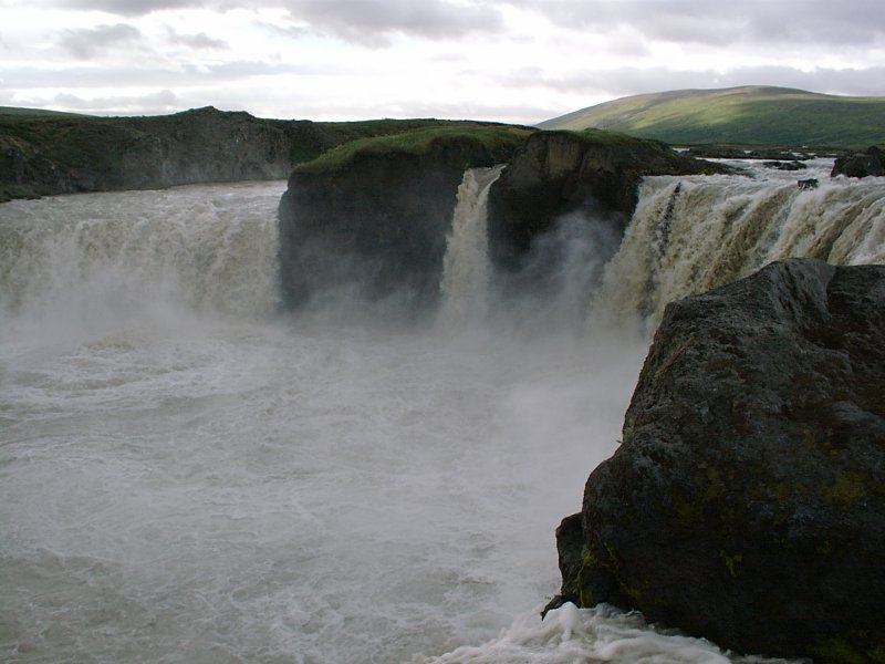
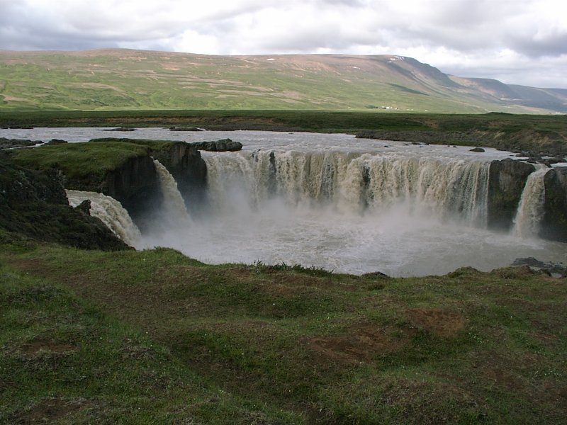
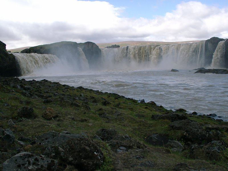
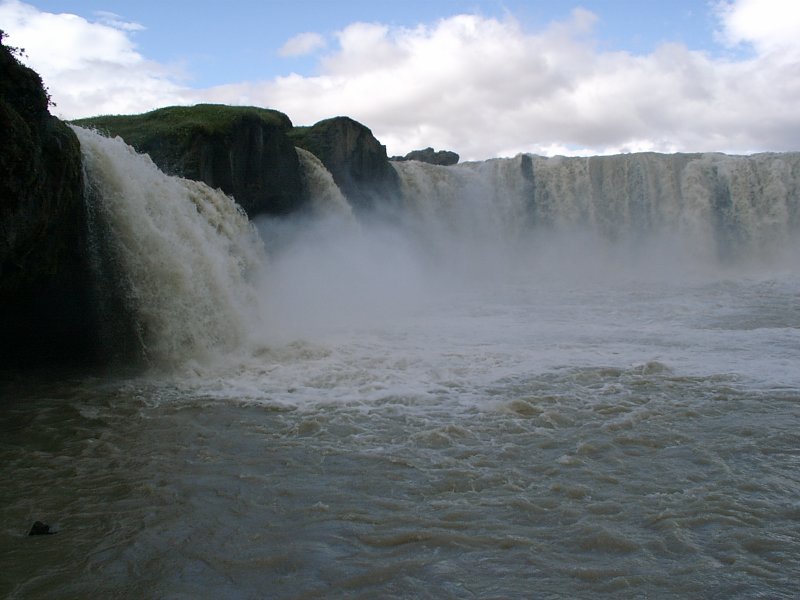
On the way I stopped at Godafoss waterfall. Godafoss is quite accessible (right next to the ring road) and once again an interesting place to observe tourist behaviour. There's a parking place beside the ring road. There are always a lot of tourists around, but almost all of them drive to the parking place, get out of the car, walk 20 yards to the cliff, take a couple of pictures of the waterfall, go back to their cars and drive on. Some of them walk a hundred yard upstreams to stand right next to the waterfalls edge. But very few of them actually follow the road over the bridge (which crosses the river less than 300 yards downstream) and take a look at the waterfall from the other side of the canyon. So if you walk to the other side of the bridge and then back to the waterfall, you're virtually alone again.
And the nice bit about the canyon on the other side is that there's a way down to the river shore, so you can also see the waterfall from the lower level (and you can also get reasonably close to it that way). So you just go down the path, find a nice place to sit and lean against the rock and you can enjoy the waterfall undisturbed. (Which irritated me a bit. Iceland is supposedly one of the countries for individualists, so I wondered why even those people with rental cars didn't bother to walk around more. If you drive an hour and stop at an attraction, it somehow doesn't make sense to just stay there for five minutes. It's not as if I did some difficult hiking or whatever. I just did a short walk to find me a nice place and I wondered why everyone else didn't.)
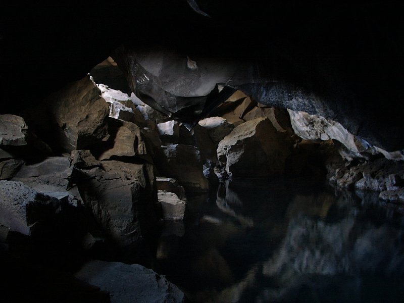
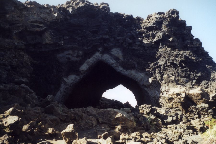
Next stop after Godafoss was Grjotagja. While it was on my plan of things to see, I didn't quite realize where it was (I intended to look it up later and drive there). I wanted to go to Hverfjall and was looking for a parking place nearby, so I could walk the rest of the way and right were the short gravel track I was taking went closest to Hverfjall there was some parking area. When I locked my car, two tour busses stopped next to me and a large group of people went to a nearby, rather indescript hole in the rocky slope close to me, put their head in, took a picture and let the next in line have a look. So I waited for ten minutes until the busses left and took a look what was so exciting.
There was a small cave beyond and the cave was filled with water. The rock above was cracked open by tectonic plate movement, so you have a nice underground pond, shielded from wind and view with light coming in through the cracks above. (It used to have the right temperature to bathe, but two decades ago it heated up to about 140 F, so it is nice to look at, but to hot for a bath.)


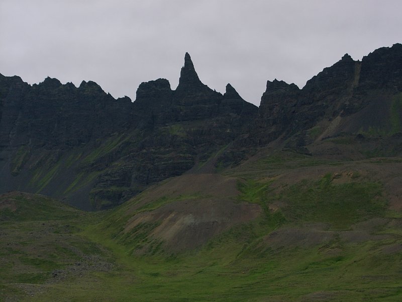
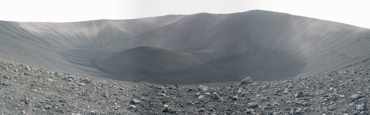
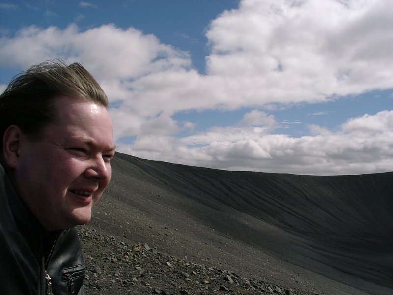
Half an hour later the next bus arrived, so I left and started to walk toward Hverfjall. Hverfjall is probably the most 'volcano' looking mountain in Iceland, though it actually isn't a volcano. While my tourist guide notes "The crater is made up of loose tephra gravel, which is like ball-bearings.", walking to the upper rim of the crater wasn't that hard. What made the walk interesting was the wind. It was quite windy and gusts of wind tended to bring some dirt with it. Sometimes it felt as if someone had taken a hand full of sand and thrown it in my face. Nice view from up there. I tried to walk around the rim, but after a couple of yards I was nearly blown off the path and had to lie flat on the ground for a moment, so it seemed a good idea to climb down again.
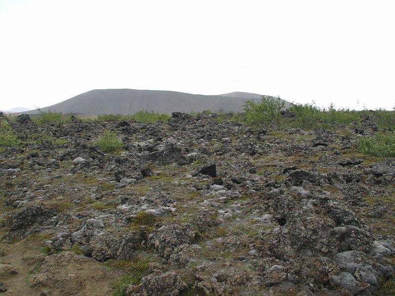
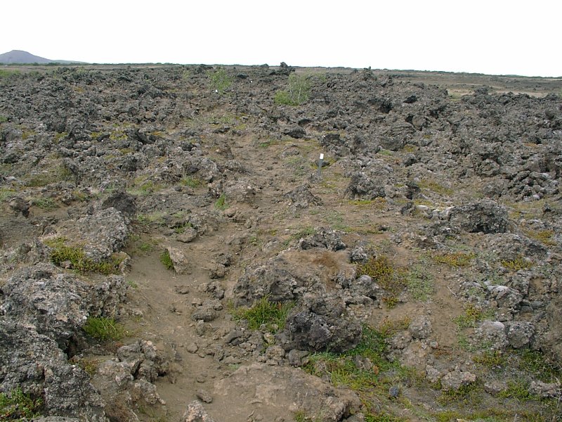
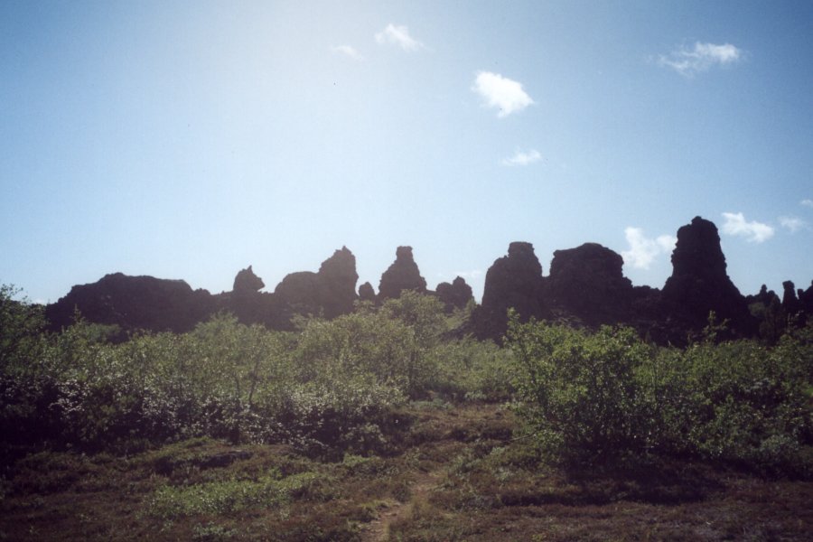
On to Dimmuborgir - the area where the ancient lava flow reached the lake. The lava passing over the water made the water boil and the resulting gas bubbles shaped the lava while it was cooling to become rock. In Dimmuburgir the result were oddly shaped basalt structures. Unfortunatly they all come out pretty dull in the pictures, but it was fun to walk through them. It's one of those places where you are reminded why Icelandic folklore is full of trolls. It is very easy to see forms and faces in these structures, especially if the sun is high and there are lots of deep shadows. It would probably be a great place to put on a campfire at night and tell scary stories. Or walk around there at midnight with big flashlights.
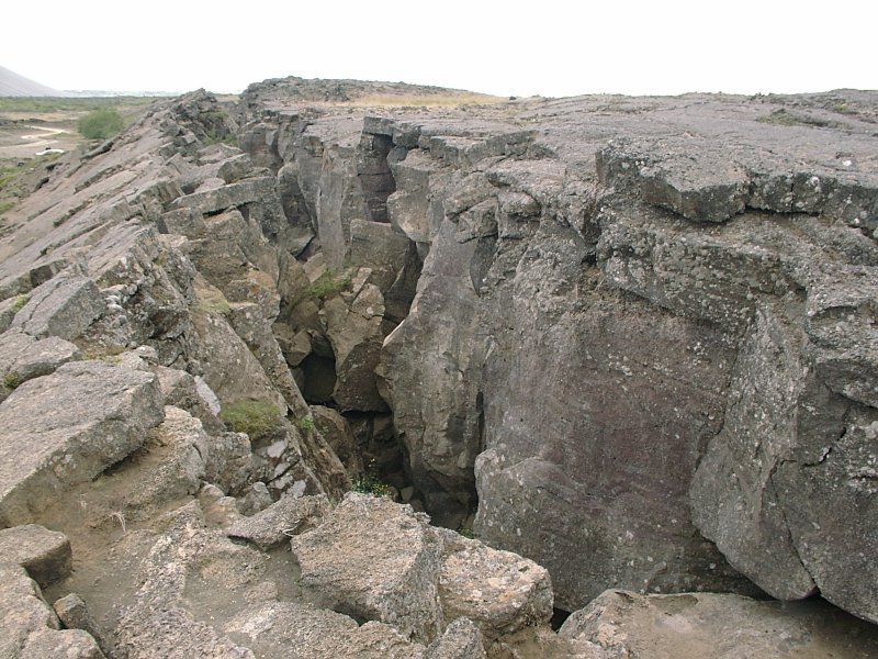
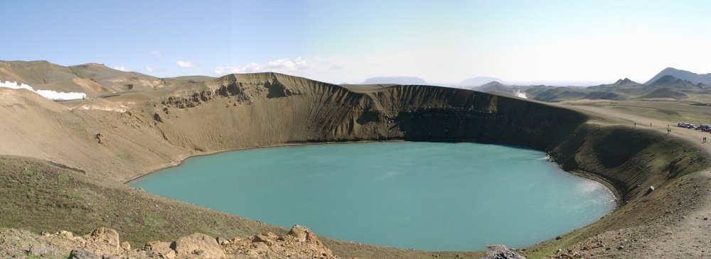
Then I drove on to Krafla, which is an volcanic area, which has erupted a couple of times in the last few centuries (1724, 1975, 1984). The 1724 eruption left a large crater, which has subsequently filled with water. Also a very windy place that day.

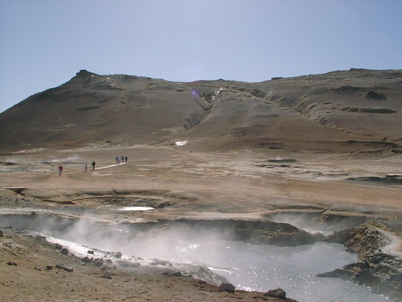
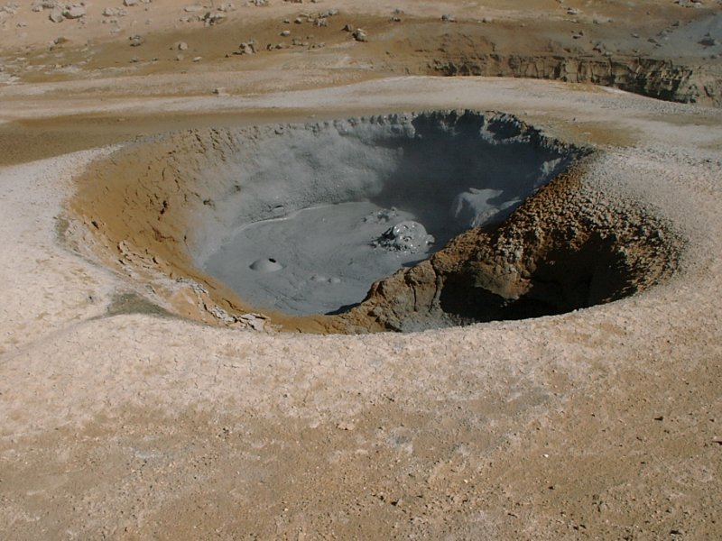
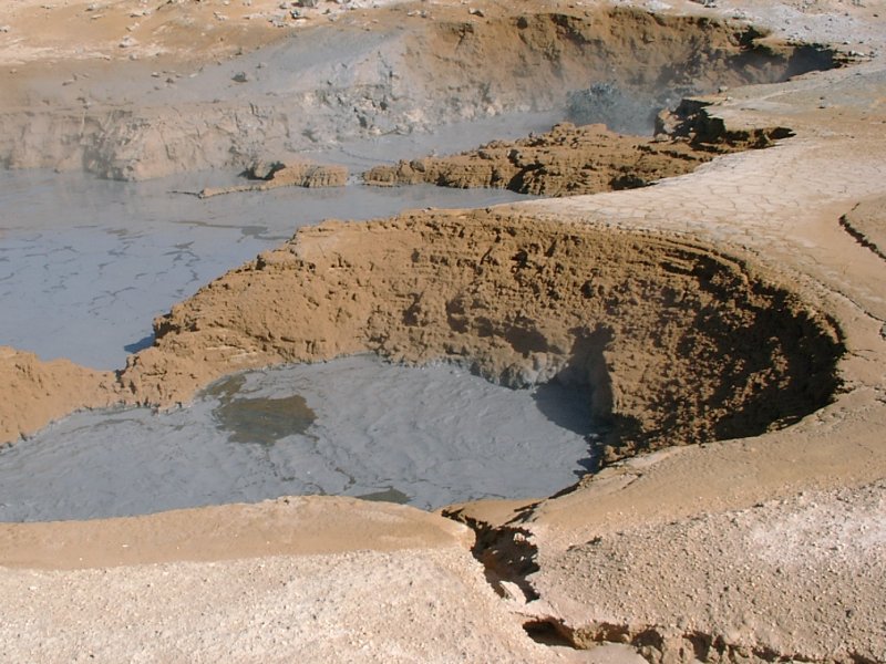
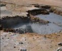
Onwards to Hveraroend, which is another geothermal area. This is the oddest looking place. Basically it's very hot underground, and a bit of water mixes with lots of earth, creating hot, bubbling mud pools. The kind of landscape Hieronymus Bosch would have loved to paint. :-) The closest equivalent I can think of is the 'bog of eternal stench' from 'Labyrinth'. (It also smells a bit.)
And it's a place where steps should be taken carefully. While the actual mud pools are roped off (as can be seenin the first picture) and there are some wood planks for the timid, you can walk around freely. There is one information board near the parking area, which informs you that you should stay on the greyish areas, but should avoid the light brown and especially the dark brown areas, since the ground there is fairly thin and the temperatures below are about 500 F.

A couple of short videos from that area:
MPEG 741 KB 5 Seconds |
MPEG 982 KB 6 Seconds |
MPEG 677 KB 4 Seconds |
By then, it was fairly late in the afternoon and I decided to drive to my next hotel, which was about 50 miles away. There was also another waterfall on the way to visit, so I gathered I'd need another two hours to reach my hotel. Unfortunatly the road taking me north to the hotel looked a bit better on the plan than in reality. While it looked like a 'real road' on the map, it was yet another gravel track. It was ok to drive, but it had been a long and exciting day so far and I would have preferred an easy drive to the hotel.
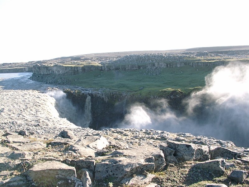
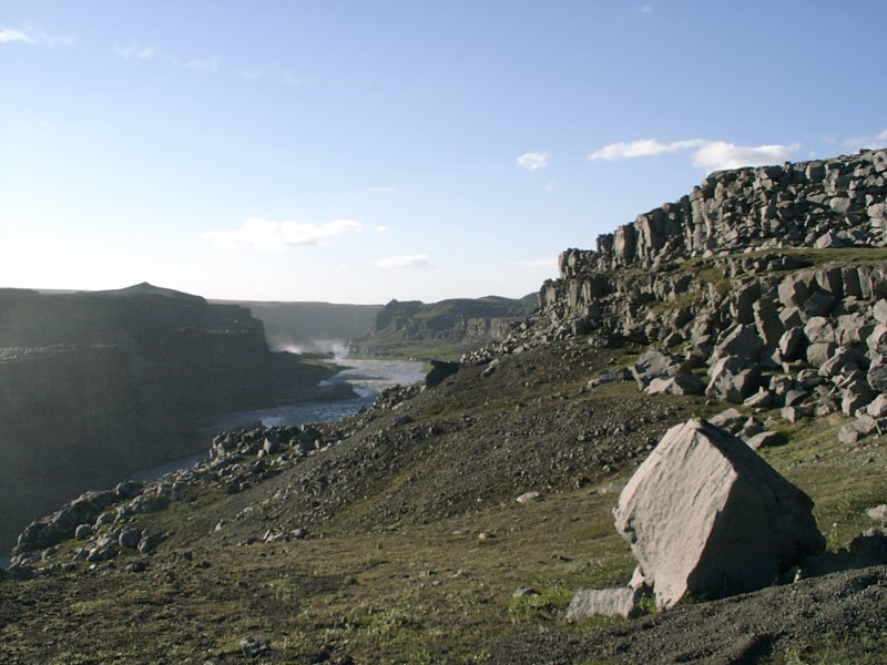
Dettifoss (the waterfall halfway on the way) was not particulary exciting. It's main claim to fame is that it's the waterfall with the highest volume of water passing through it in Europe. It is impressingly powerful, but otherwise a dull view. (And I don't quite understand its claim to fame. Since the same river runs down two more waterfalls a bit further downstream, should the same amout of water pass through these as well?)