I achieved my primary objective a few hours after arriving in Argentina.
In fact, much sooner than I had anticipated.
But let's go back a couple of months for some background information.
I mainly decided to visit Argentina (and not somewhere else) because I wanted to take one picture.
The underlying idea (similar to why I went to Dubai the previous year) was to go somewhere where I hadn't properly been before.
I considered a few options and there was no 'obvious' best choice.
But there was still the issue of the 'sixth picture'.
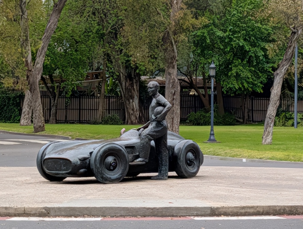
There is a life-size sculpture of Juan Manuel Fangio standing beside a Mercedes-Benz W196 racing car. And there are five replicas of the sculpture. (It is not quite clear which one is the original. Some sources (as the wiki page above) claim it's the one in Monaco, others claim it's the one in Barcelona.)
In any case, I had pictures of me sitting in the car of five of the six sculptures.
The missing one was located in Buenos Aires (because Fangio was from Argentina).
This ultimately tipped the scale towards visiting Argentina.
It wasn't the sole reason for the trip. But it was the reason why I went to Argentina and not, let's say to Nepal or South Korea.
Technically, I had visited Argentina before. In 2015 I had visited the Iguaçu waterfalls on the Brazilian side and did a day tour to see the falls from the Argentinian side. So I have crossed the border into Argentina and spent a couple of hours in the country. But as that was only for a short time, I don't count that as a 'proper' visit to Argentina.
Initially, I was supposed to arrive in Buenos Aires late in the evening.
As I didn't want to bother with going to the hotel in the city and arriving there at 1 am or something like that, I had booked an airport hotel for the first night.
Get there from the airport, get some sleep, have a late breakfast and check out, then take the bus to the hotel in Buenos Aires itself (the international airport is a fair bit outside the city). Check in. And then maybe go take the photo.
But the airline thought differently.
For some vague reason (kind of "we mislaid the plane you were supposed to take and now we're looking for another one that's available somewhere"), my connecting flight to Buenos Aires was delayed by ten hours.
Instead of arriving late in the evening, I landed in Buenos Aires late in the morning.
I skipped the airport hotel (as I would have arrived there essentially at check-out time) and went directly to the city hotel.
Where I was early for check-in, so I dropped my luggage and went for a walk.
The city was surprisingly busy for a Sunday morning.
And I soon found out the reason why.
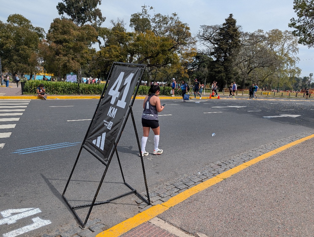
It was the weekend of the Buenos Aires marathon.
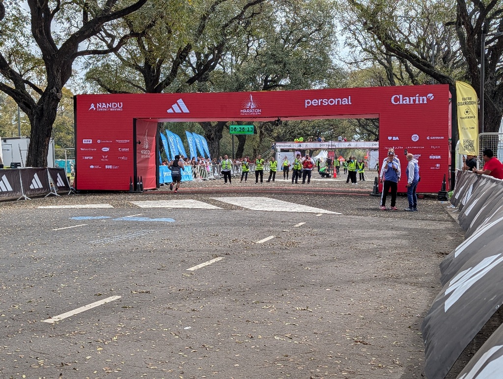
And while I had missed the top athletes and the well-trained runners by hours, there were still runners (though at that stage, mostly walkers), trying to reach the finish line before it closed.
I am not sure whether those runners still got participation medals. Officially, the time limit was six hours. And the clock at the finish line showed 6:36 when I was there. And there were still officials welcoming the runners. (And, looking at the results web site, it seems that the last recorded finisher clocked in at 6:58:17. Well, actually the last one reached the finish at 7:07:40 after the start, but that's because he clearly wasn't in the first group at the starting line. And with about 15000 runners, it takes some time until the last one is over the starting line.) So it seems that the cut-off time was seven hours after crossing the starting line. But maybe only those under the six-hour limit got medals. And the rest only got to finish.
In any case, when I was there, the race was still going on, but it was (kind of literally) on its last legs.
Which felt slightly odd, as there was a 'the walking wounded' feel to the whole day. As I had spent the night on a plane instead of a nice hotel bed (and there was also a five-hour time difference), I felt somewhat exhausted - but, in the aftermath of the marathon, was surrounded by many people who looked a lot more exhausted than I was.
The finishing line of the marathon wasn't far from the little park where the Fangio sculpture is now located. (It used to be in a different place until 2018 (more in the center of Buenos Aires, near the main Mercedes Benz dealership), but was then removed and installed in 2021 in the new place.)
So I went there and asked someone to take a picture with me in the car.
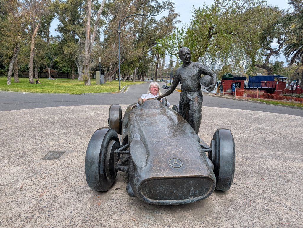
Mission accomplished.
In less than five hours after landing in Buenos Aires, I had my picture.
So what else was there to do in Buenos Aires?
Surprisingly, not a lot.
Buenos Aires is a pleasant city with many wide roads and large parks.
And large groups of dogs.
It seems a lot of people in Buenos Aires have dogs. And a large part of the dog owners don't seem to have time to spend with their dogs.
So they hire dog walkers.
I knew the concept existed, but I had only ever seen them in comedy movies (mostly for a gag where someone gets pulled along by a lot of excited canines).
In Buenos Aires they are for real. And serious business.
When walking around, you see many people walking with half a dozen dogs or more. And then they meet up in parks with lots of other dog walkers, where their individual groups of dogs stand and (mostly) bark at each other.
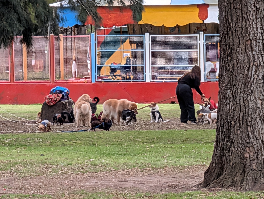
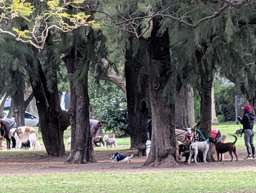
But that was the most specific 'Buenos Aires' thing I encountered. The city works fine for its inhabitants. And it doesn't seem to feel the need to have any big tourist attractions.
In Buenos Aires it's easy to spend a day simply walking around and enjoying being on vacation.
But there aren't any big attractions or unusual things to do.
Which means there isn't much to write about and there aren't many pictures.
After having done the 'Fangio Photo' (and because I usually like technology museums), I tried to look for science and technology museums. There is some car museum with a decent collection, but that's operated by enthusiasts and only open on weekends. There's also an airplane museum in Buenos Aires, but that's only open from Friday to Sunday.
Which left only one other car museum - the one at the Automovil Club Argentino.
The nice thing about that is that it's open during weekdays. It's free. And it's conveniently located.
The downside is that it's not much of a museum.
In fact, I kind of passed through it while looking for it.
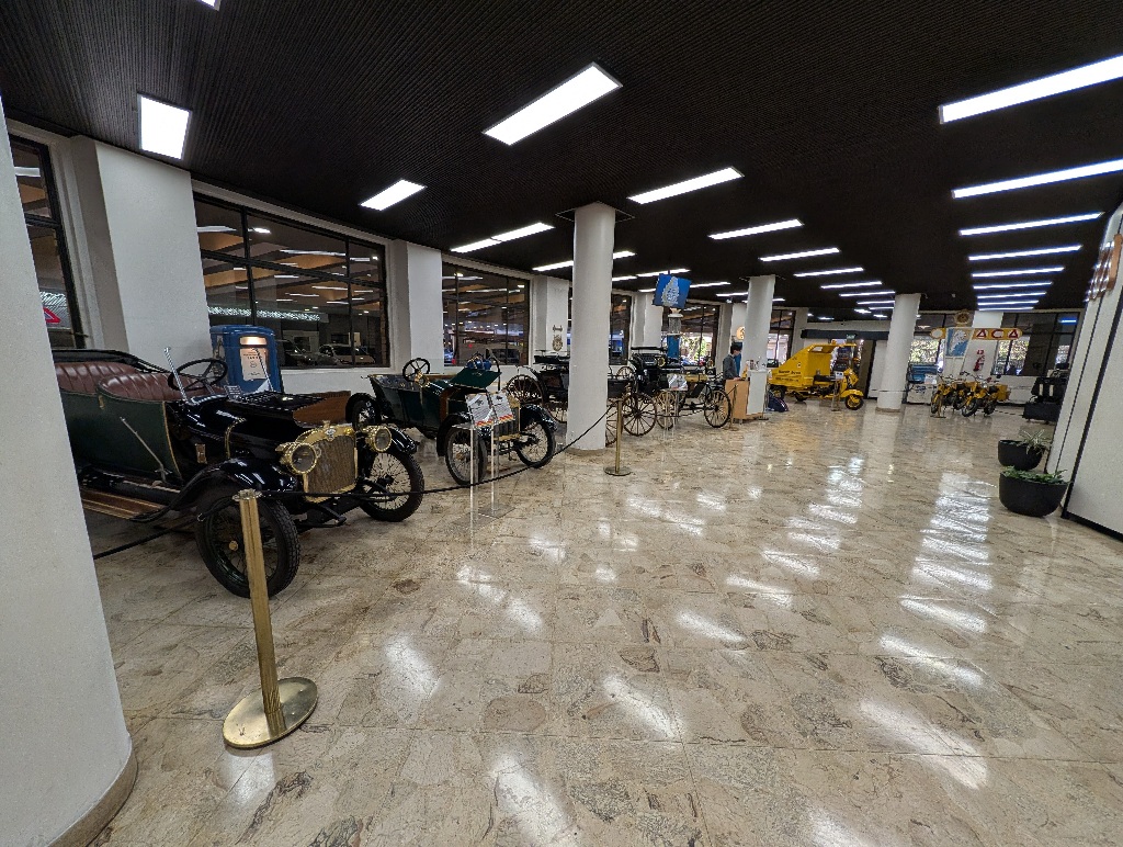
It's located in the headquarters of the Automovil Club Argentino. I went there, didn't see any signs to a museum, asked at the reception and they pointed me down a corridor, winding around the lobby.
There were a couple of cars standing in the lobby. Maybe ten, depending on how you count them. One seemed to be a motorless soapbox racer, three were motorcycles. There were maybe six vehicles there that were really cars.
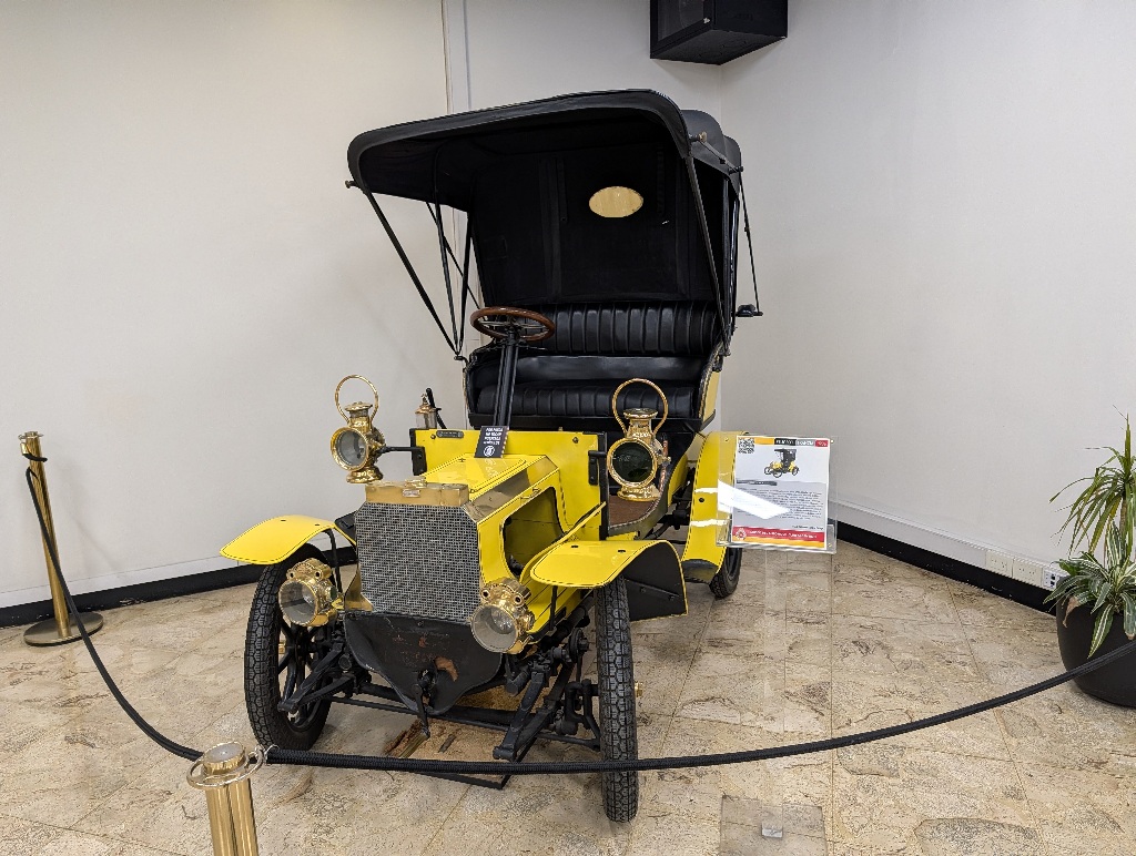
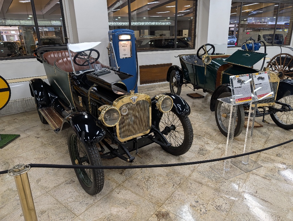
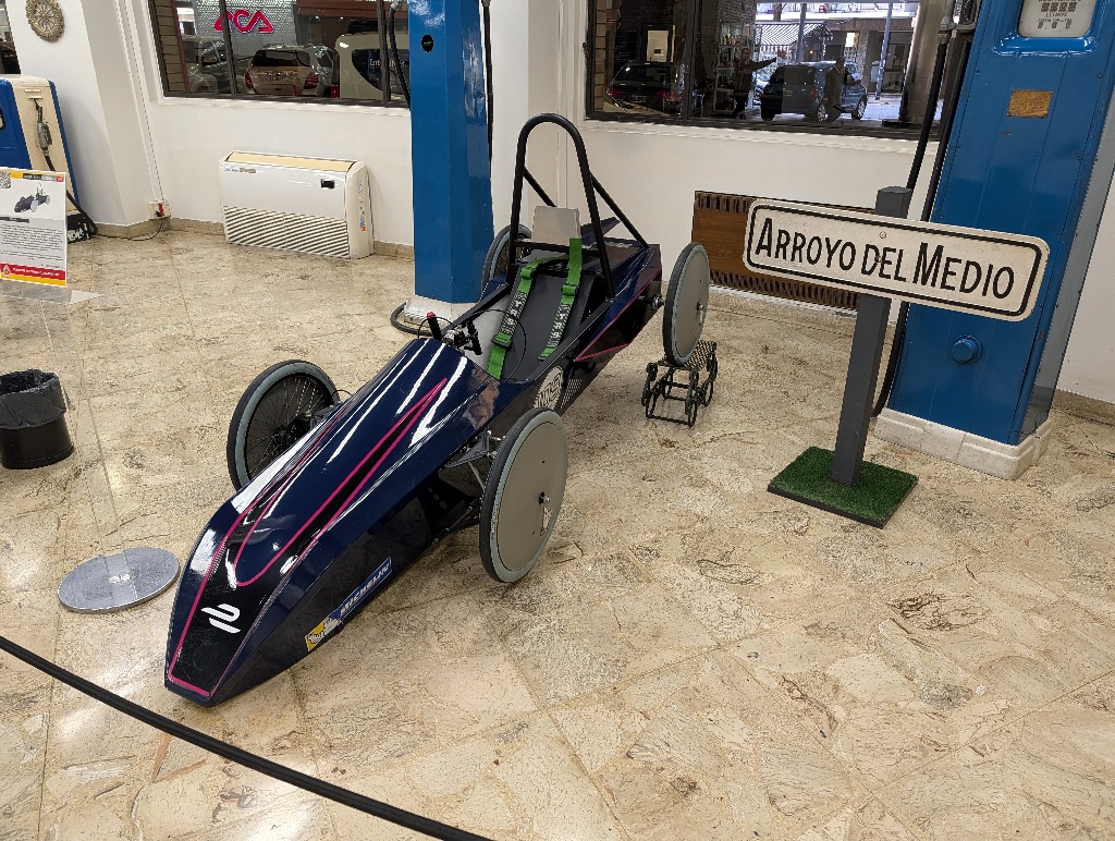
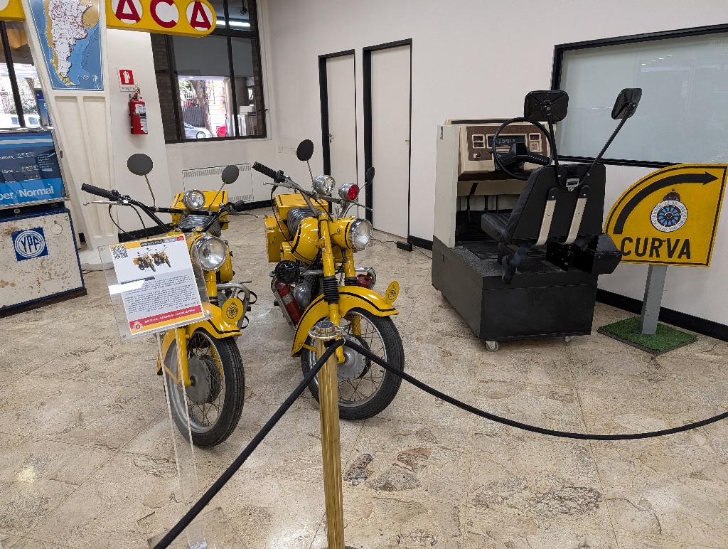
And I walked past them, trying to find the museum entrance.
And found myself back at the reception (the corridor went around the elevator and curved back to the entrance).
In short, these cars were the complete exhibition.
To be fair, entrance was free and they don't over-promote it as a museum (all they claim is that "you can view various relics that form part of our organization’s historical heritage", which is an appropriate claim).
And, (kind of) fitting the photo I took the previous day, they did have a car in the reception area that was driven by Fangio.
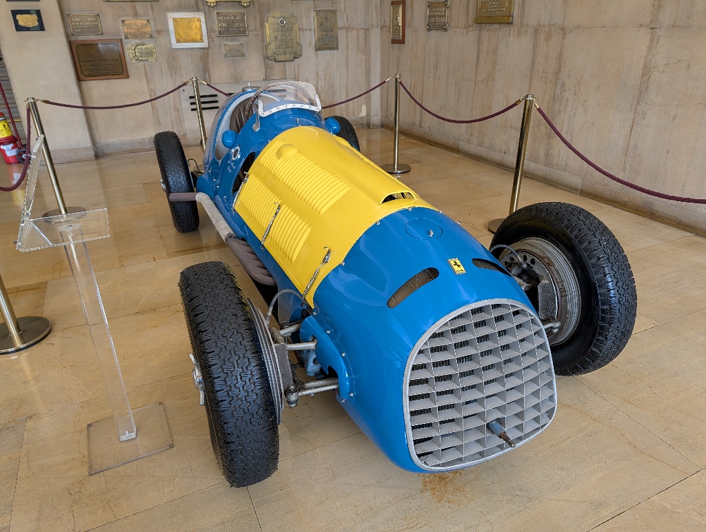
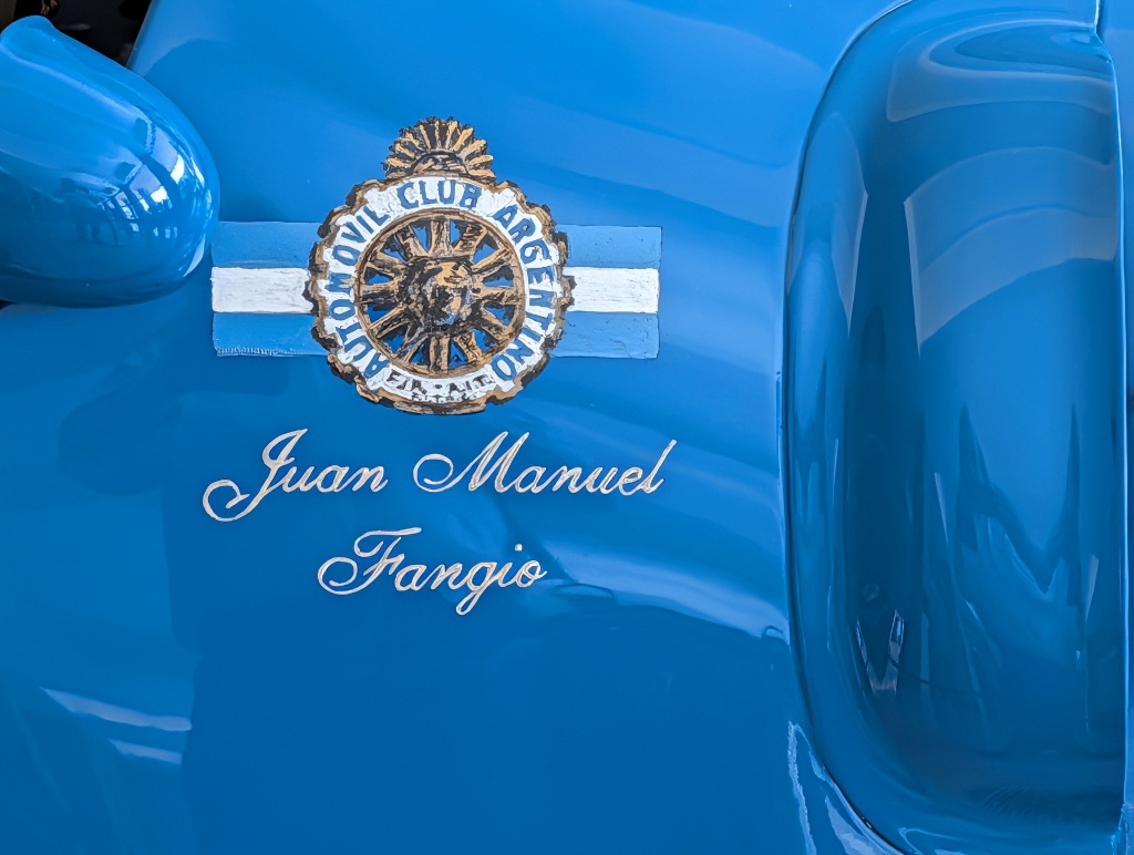
If it had been perfect, it would have been a Mercedes-Benz W196, but it turned out to be a Ferrari. Still - at least a similar style of car to the one commemorated by the sculpture.
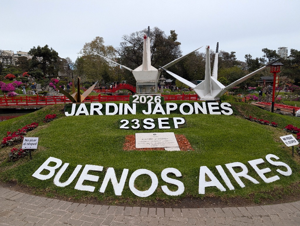
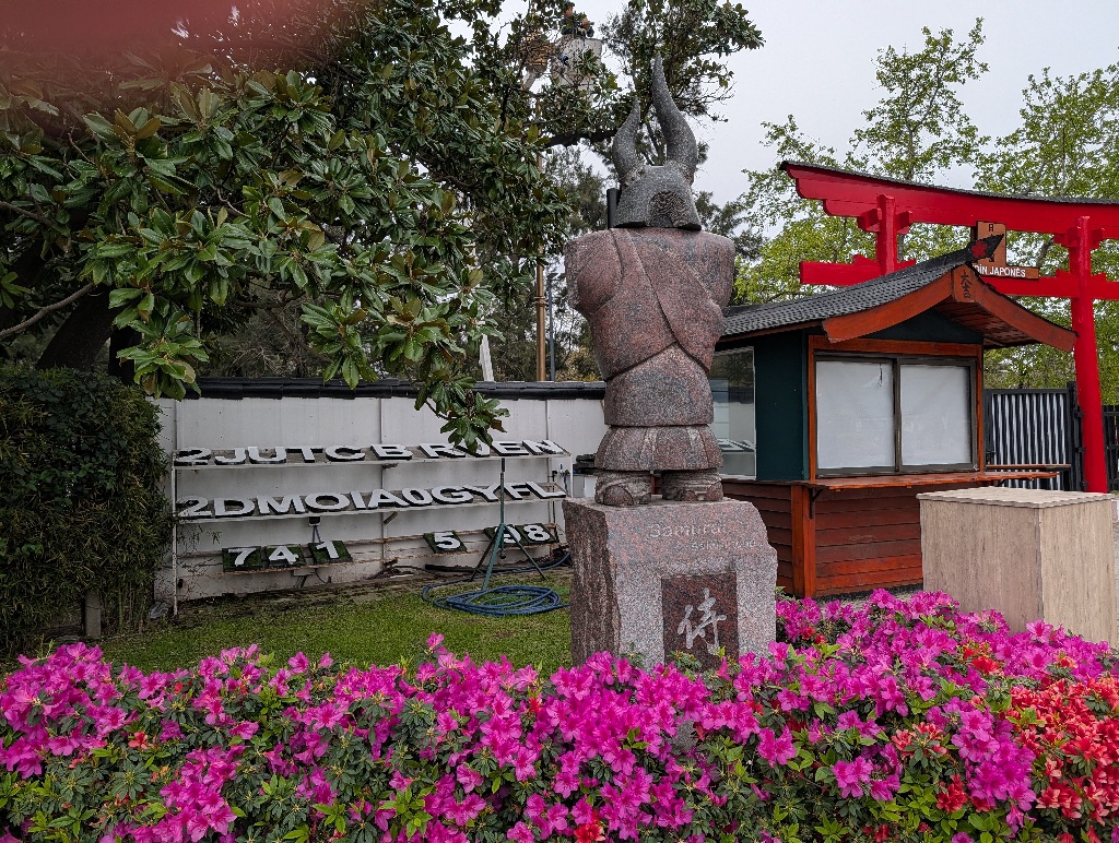
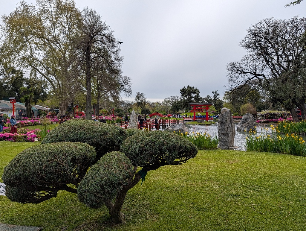
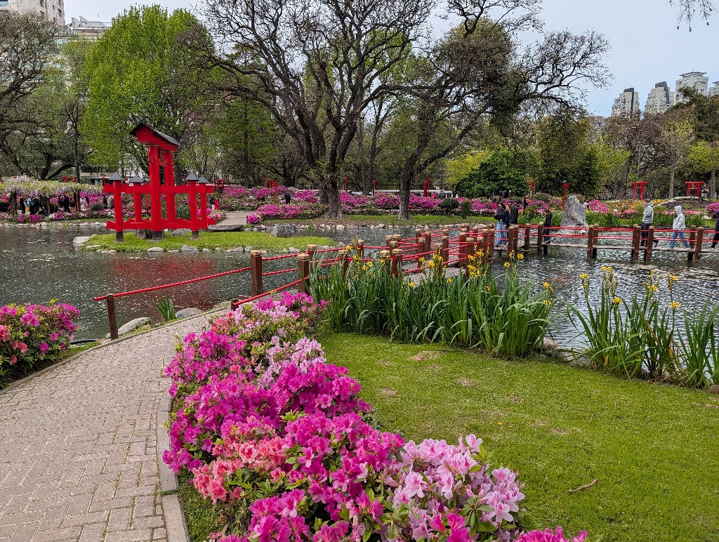
The unexpected gem in Buenos Aires turned out to be the Japanese Garden.
Initially, I wanted to go to the 'not-quite-a-zoo-anymore', but their entrance system was too complicated, so I didn't go there. (They only do online tickets. You can't get a ticket on-site. And they don't have WLAN nearby. I would have needed to walk back to the hotel, make the booking from my hotel room and then go back to the place.)
So I walked on and visited the Japanese Garden instead, where you can simply buy a ticket at the entrance.
Though 'not-a-zoo, really' might have been interesting to look at.
For more than a hundred years, it used to be a 'proper' zoo.
But ten years ago, there was a scandal about cruelty to animals. It's kind of difficult to find out whether there was actually any mistreatment of the animals in this zoo or whether the zoo was like any other zoo and it was simply a change of public opinion and influence of pressure groups.
A lot seems to point towards the latter, with statements that "kids nowadays consider it obvious that it’s wrong for animals to be caged” and "that keeping wild animals in captivity and on display is degrading".
That's not an argument, it's having an opinion and forcing it onto others. As Wikipedia carefully puts it "In June 2016 the city formed a bias about the zoo's cruelty."
But there also seem to be some grounds to assume that animals in this zoo were treated worse than in other zoos. Specifically, a polar bear, that died during a hot summer due to lack of proper cooling.
Also, the zoo had been running at a loss and was costing the city money. It might be my cynical self, but I suspect that has been a stronger influence towards closing the zoo than concern about the welfare of the animals in it.
But be that as it may, the zoo was closed and the animals were released into the wild. Which worked for animals native to Argentina (and some were brought to environments outside of Argentina), but there were some animals you couldn't really release into the wild, like an old orangutan that lived for 29 years in the zoo and would not have know how to survive in the wild.
The not-longer-a-zoo, now called Ecoparque, still had giraffes, hippos, camels and monkeys. Just like a zoo, I guess...
It's hard to say how many of the zoo animals are still left. The place closed as a zoo ten years ago, so I assume that many of the animals that weren't relocated are dead by now. But there's no clear info on the Ecoparque web site and it might have been interesting to see how much of a zoo they still are. And what they are doing with the area now.
But as the entrance system isn't that user friendly, I didn't visit and went to the Japanese Garden instead.
Which was amazing.
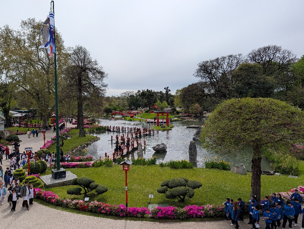
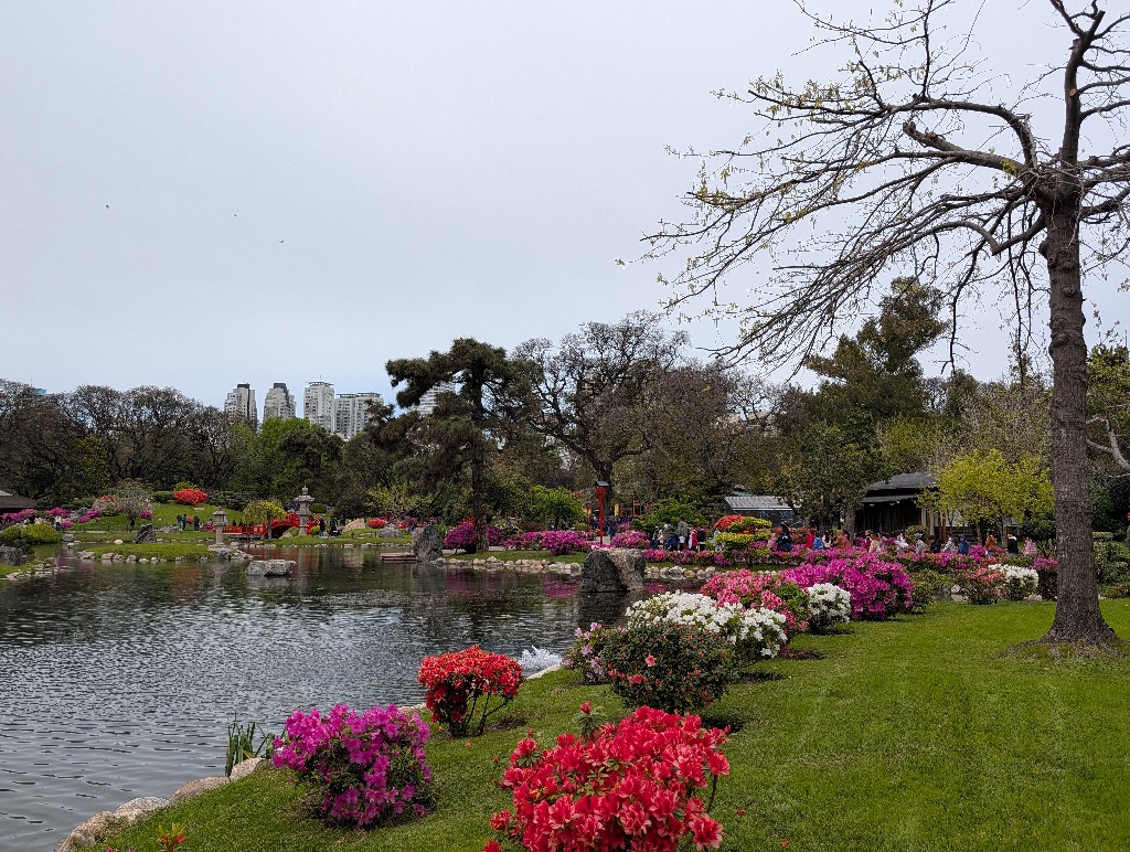
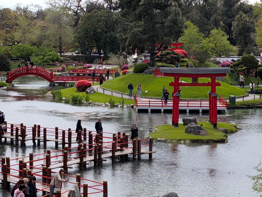
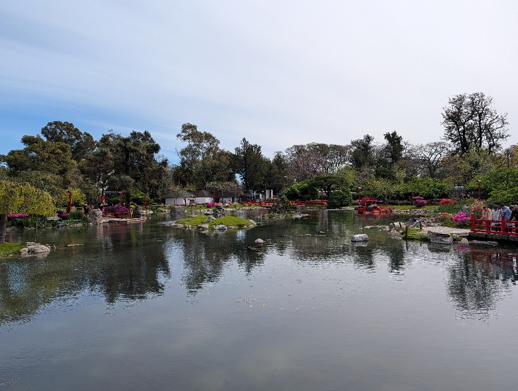
It is well maintained and looks good from about every place in the garden.
The place looks like it was designed to be 'instagrammable', although the site has been laid out way before that existed.
There isn't one big vantage point, but a lot of little corners with a good-looking background. Often providing two or three places where groups can gather and take pictures. Which school classes in Buenos Aires do a lot. I think there wasn't any time in the park where there weren't at least three school classes walking around somewhere and gathering at the next photo spot.
For example, there's a small island in a pond at the center of the park. It does not only have a platform on top of the small hill there (good for photo opportunities), but a second platform at lake level. If you take a picture at the top, the lower platform is hidden from view. And if you are at the lower level, you look away from the hill. Two groups can take pictures at the same time without getting into each other's way.
And then there are little walkways across the pond. Which have lots of little corners and nooks, so you can have a picture of the group on that walkway while another group can take a picture at the next corner.
Like I said - it looks like it was designed for photo spots.
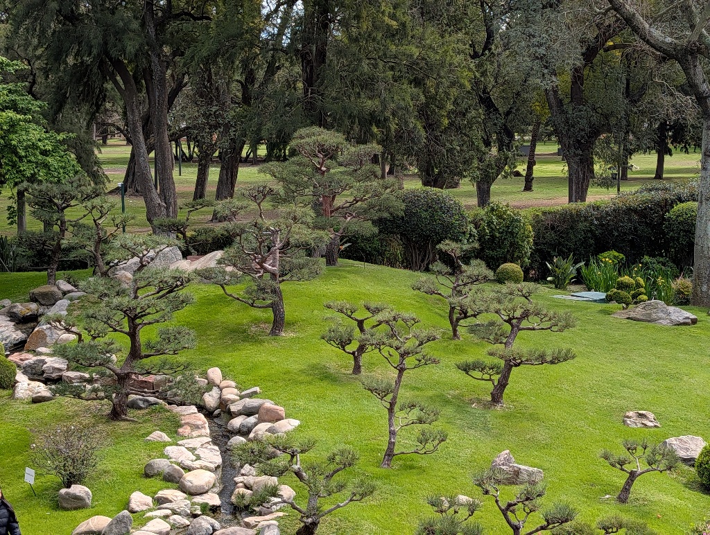
The gardens are also well maintained, smartly landscaped and with many different looks, from colourful plants to little bonsai 'forests'.
It looks quintessentially Japanese, though I assume that formal gardens in Japan are less ornate than the one in Buenos Aires. But as someone once observed: "Things that try to look like things often do look more like things than things. Well-known fact.”
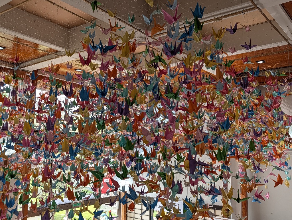
As this is mostly about the looks of the place, I won't write much more about it, but simply follow up with some pictures.
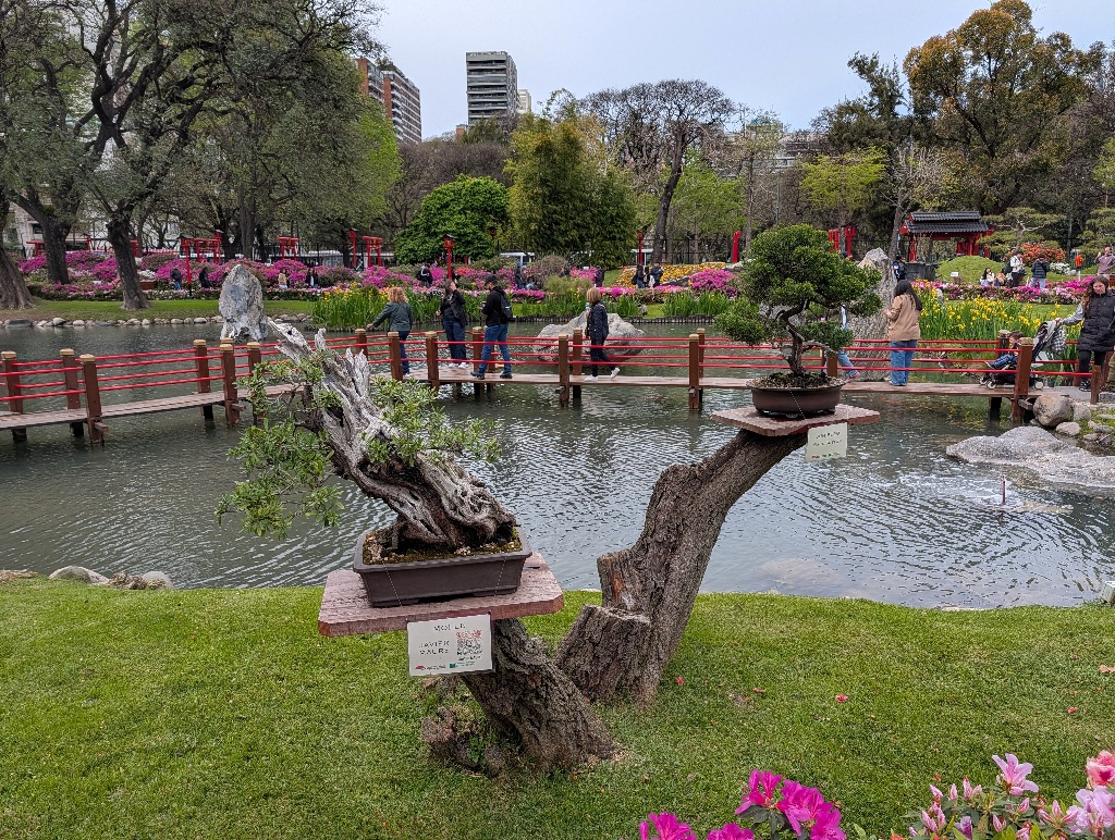
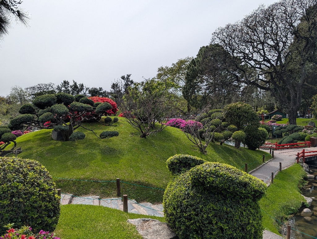
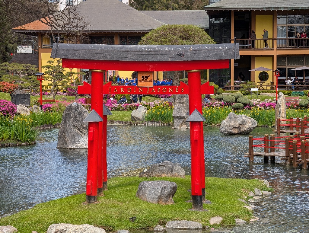
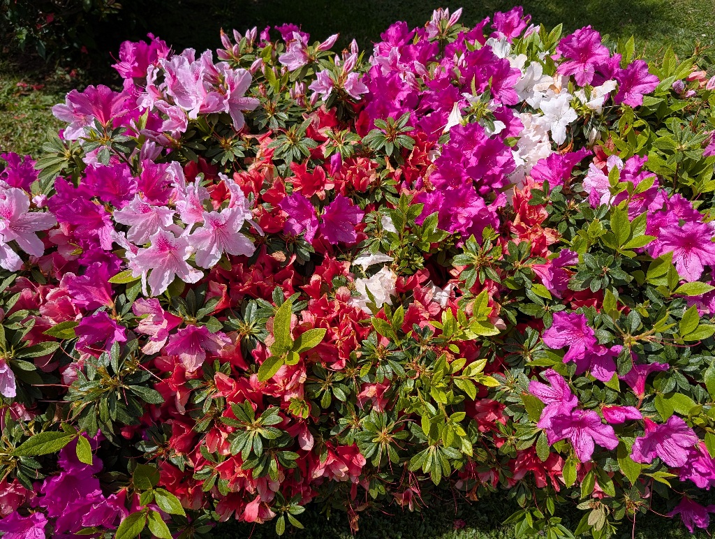
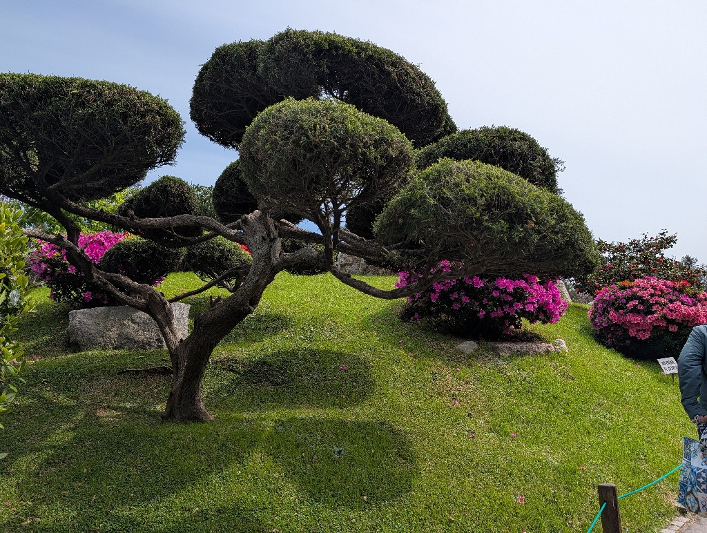
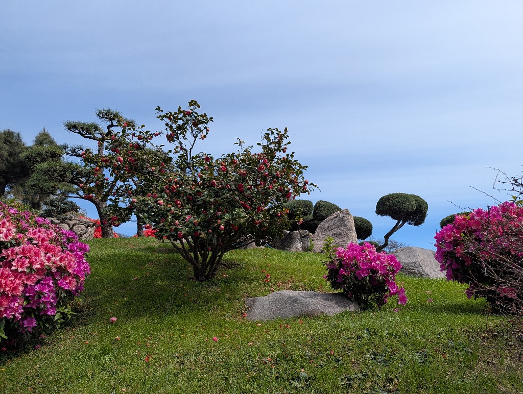
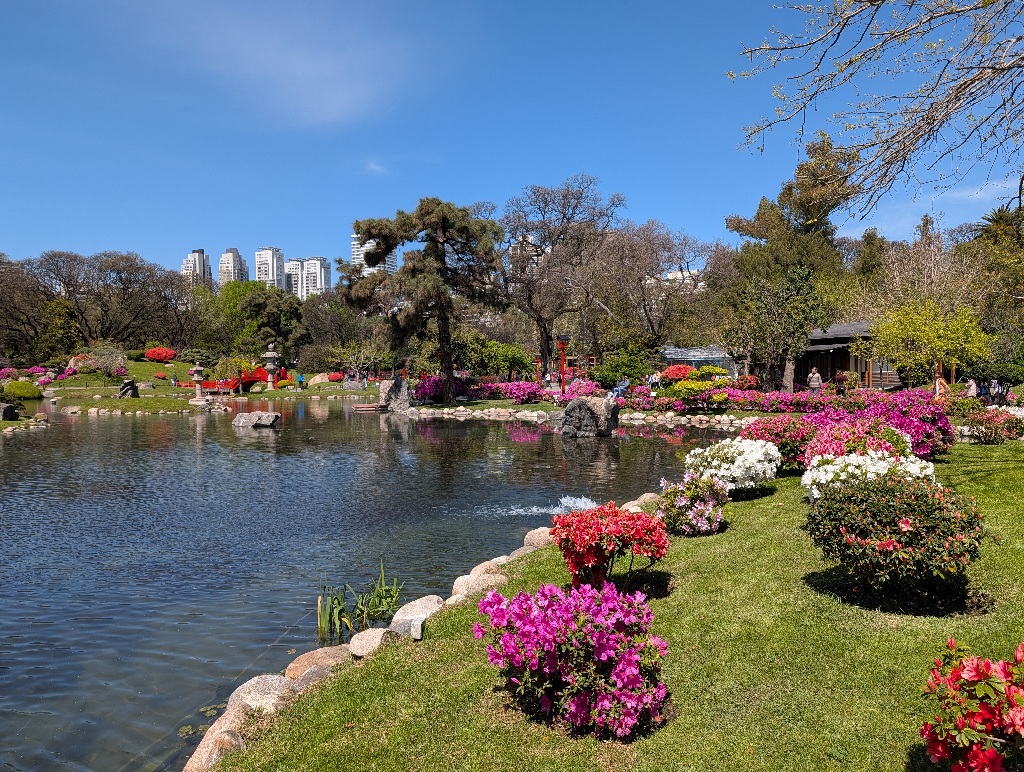
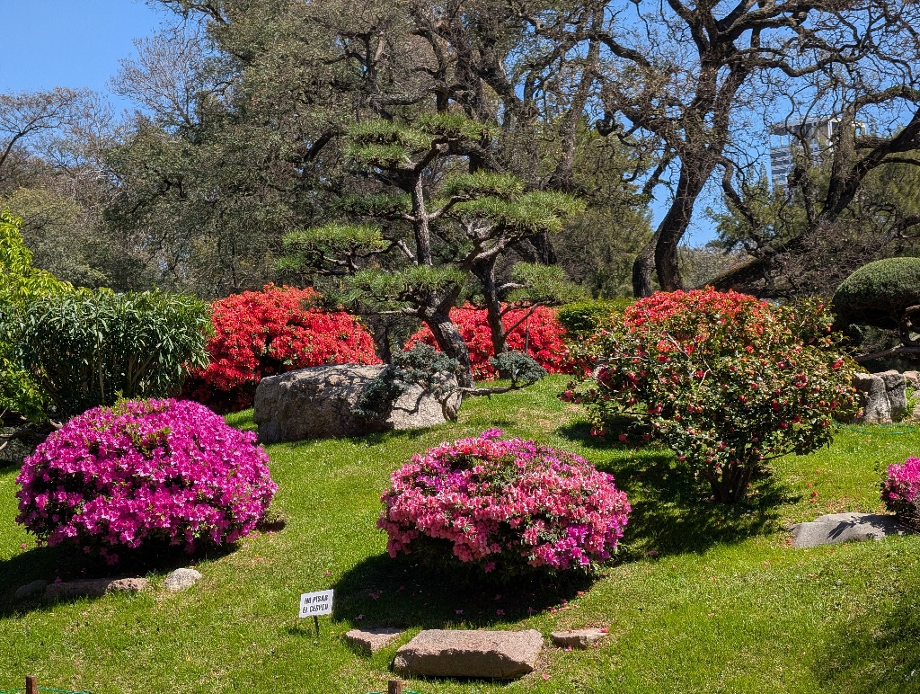
What the park didn't have (oddly enough, or maybe I didn't find it) was the most 'typical' of a Japanese gardens, the Zen Garden, consisting mostly of raked gravel and some well-placed stones.
Another oddity of the park was near the entrance.
There's a large sculptured gate where visitors enter the park.
And on one side is a small sculpture of a dragon. Which is kind of expected,
But the other side has a Betty Boop statue.
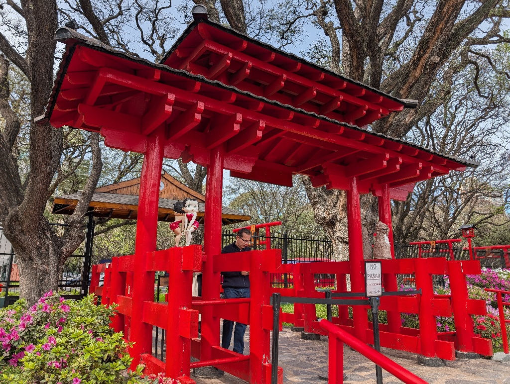
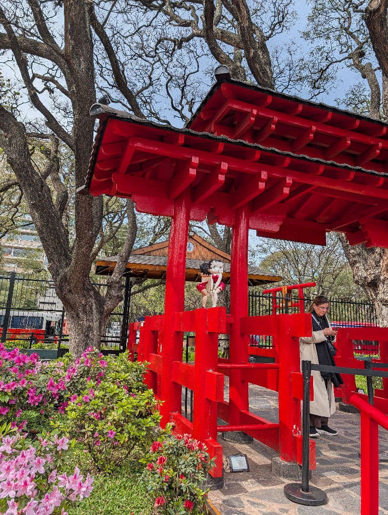
Which did strike me as something not very Japanese.
But then again, why not?
Next day I visited another country - Uruguay.
No specific reason for that, except that I could.
There's a fast ferry from Buenos Aires to Montevideo, the capital of Uruguay, so it's possible to have a day tour, taking the morning ferry to Uruguay and the evening ferry back to Argentina.
Not much to tell here as well.
Montevideo is a nice city, albeit on a much smaller scale than Buenos Aires. And, like Buenos Aires, there aren't any "must see" attractions for first time visitors.
So I walked around for a couple of hours, mostly along the shore and through some parks.
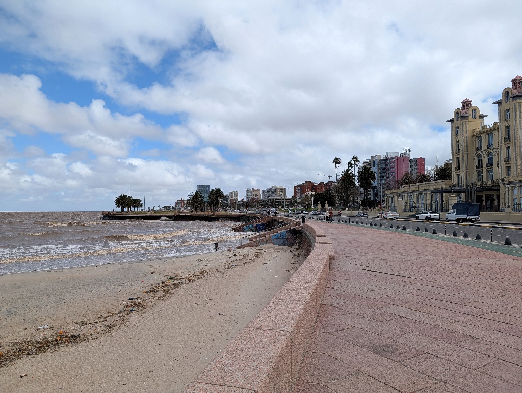
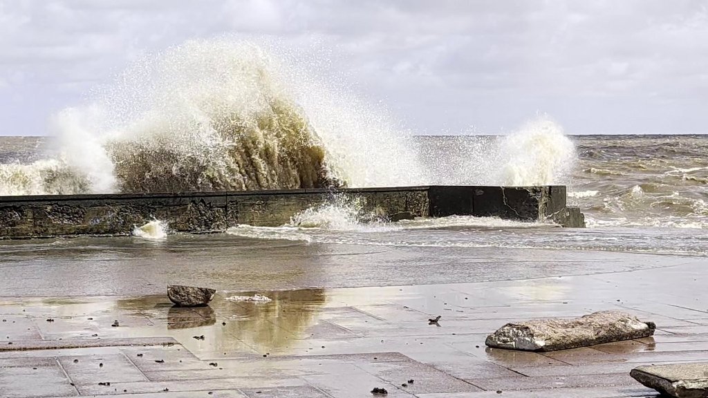
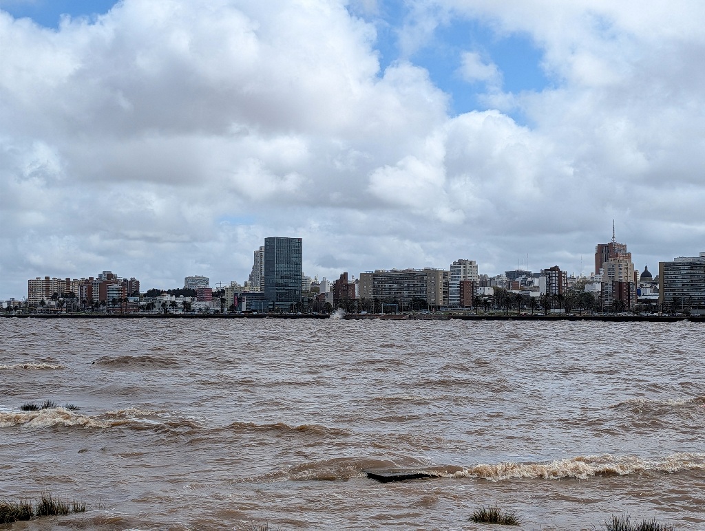
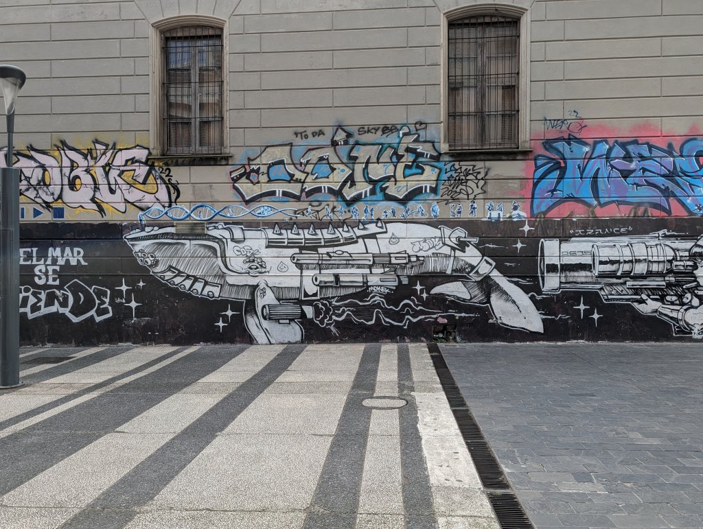
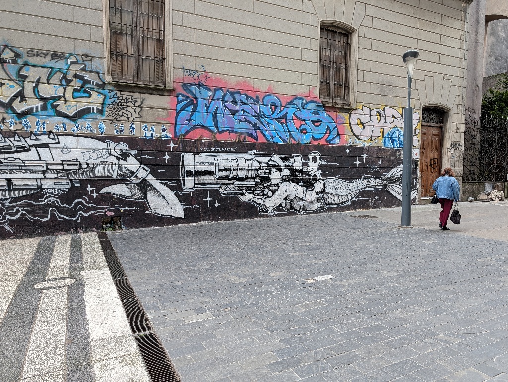
The most noticeable thing was the abundance of street art.
Part of it were graffiti, like this mermaid with a bazooka either hunting with an armored whale or hunting an armored whale.
Or this kind of pink warthog-carp.
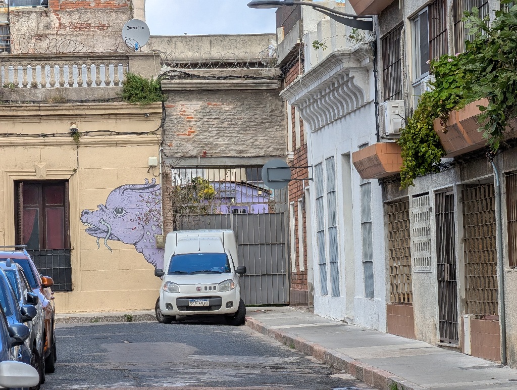
I assume the colour has been specifically chosen to fit in with the house facade behind it. But it might have been a coincidence.
There also were these sculptures on a balcony.
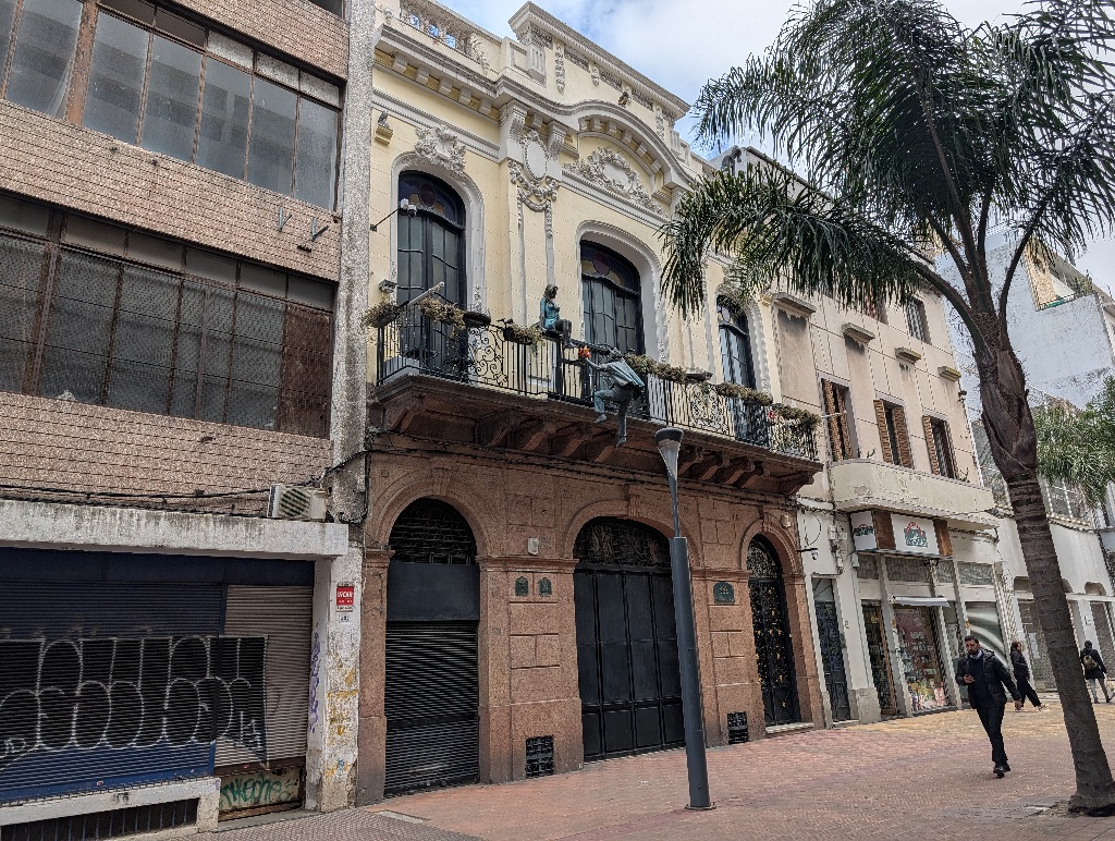
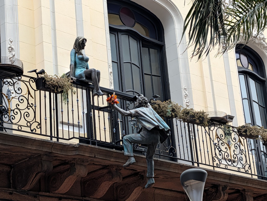
At first glance, it looks like an updated Romeo-and-Juliet reference, with a guy climbing a balcony and bringing his sweetheart a bunch of flowers.
It gets a bit more complicated if you look at the whole scenario (which, admittedly, is probably true for everything).
If you step back, you notice that there's a third statue, up on the roof of the building.
A second woman looking down disapprovingly at the scene below (which is not in Romeo and Juliet, as far as I remember the plot).
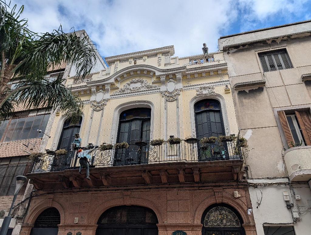
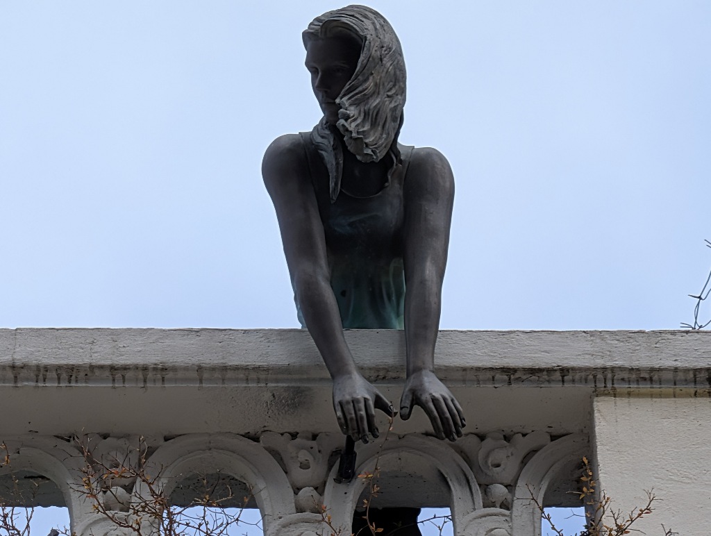
You can probably make up your own soap opera storyline from that set-up.
There was another building with odd, colourful masks attached to the windows.
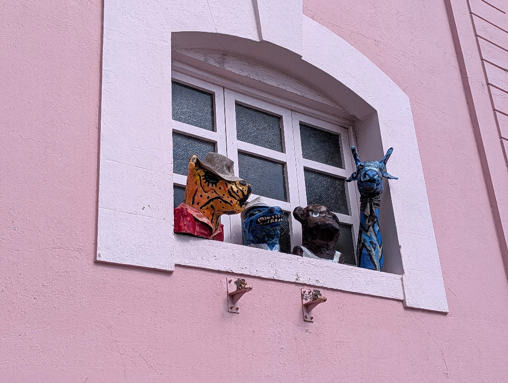
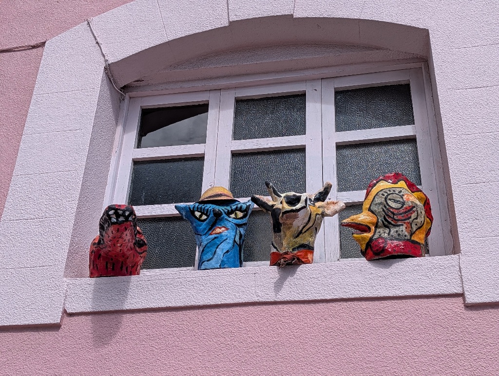
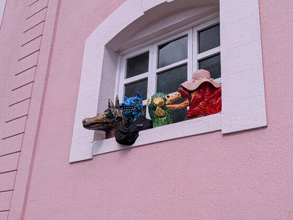
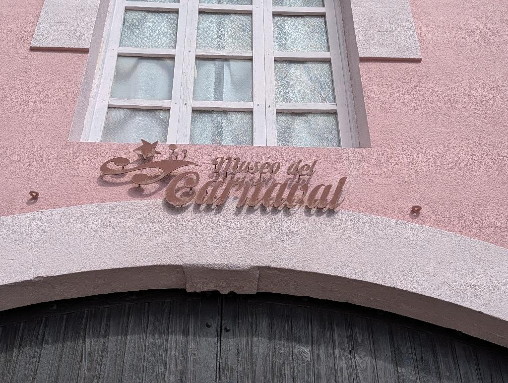
But that turned out to be the Museum of Carnival, so I assume that these were masks worn during carnival festivities (I didn't get to find out anything more specific as the museum was closed that day).
One thing I found surprisingly interesting was the building to the right in this picture.
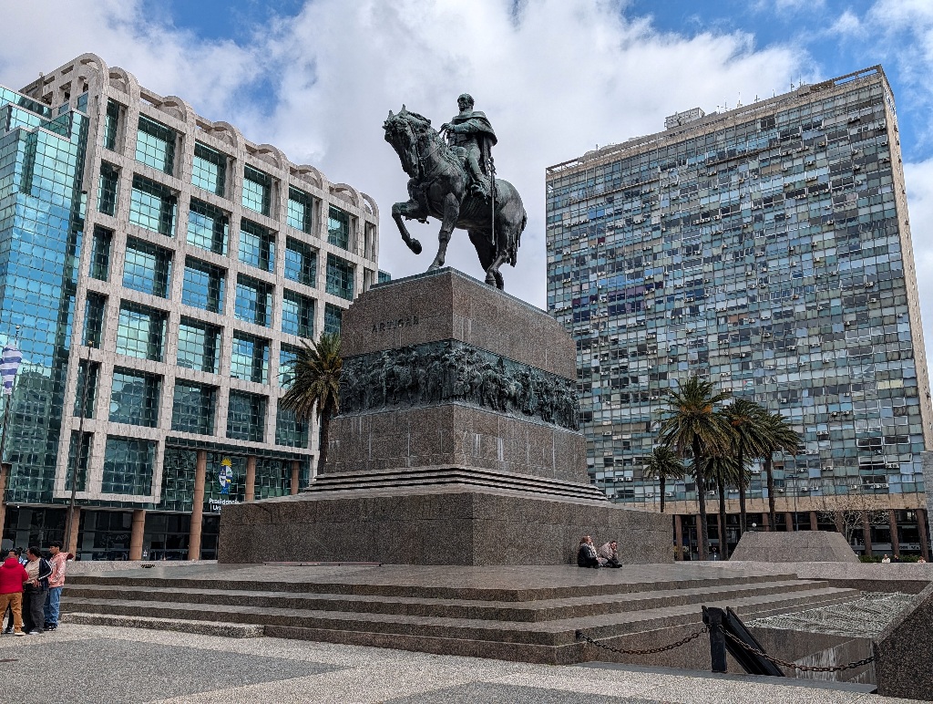
(Ignore the building to the left, that's just the official workplace of the President of Uruguay.)
The building on the right is nothing special. It's some office building used by a large number of companies.
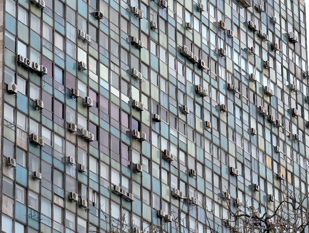
The interesting thing is that whoever designed the building didn't plan for air conditioning. Every company renting offices had to put in their own. And the room layouts are, obviously, different, with some offices four windows long and others wider. And companies used different types of air conditioners.
By now it looks like the whole building facade has a bad case of acne.
Time to go back to Buenos Aires. And leave it again.
I had three weeks of vacation and didn't intend to spend all of them in Buenos Aires.
The typical destination for me would have been Patagonia, with snow, glaciers and penguins.
But I have been to Patagonia twice (albeit on the Chilean side) and I wanted to do something new. so I decided to fly to Salta, in the northwest of Argentina, rent a car and drive around for two weeks.
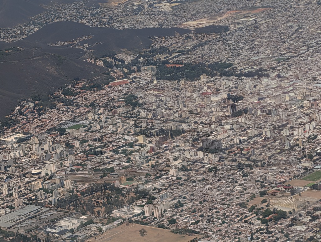
I knew that there were many interesting mountains and rock formations in the Salta area, so it took me by surprise that Salta itself is essentially flat.
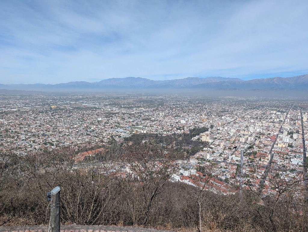
It is, however pretty much surrounded by mountains.
And, from close to the city center (that is the historical city center - as the image above shows, the geographical city center is quite a bit away from any mountain) there's an aerial cable car to a scenic viewpoint with a good view of the city and its surroundings.
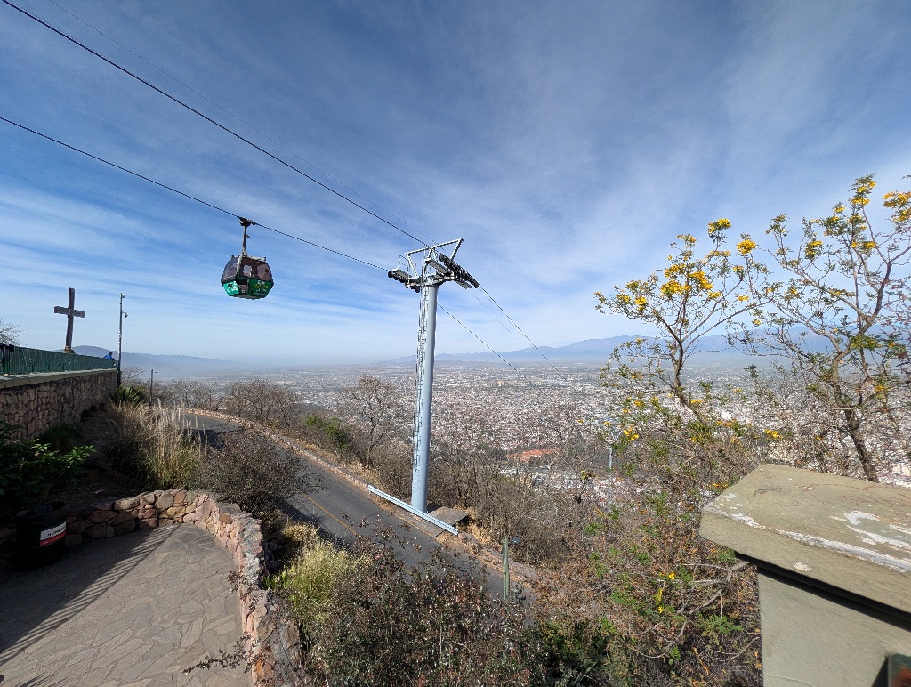
It also has a few artificial waterfalls.
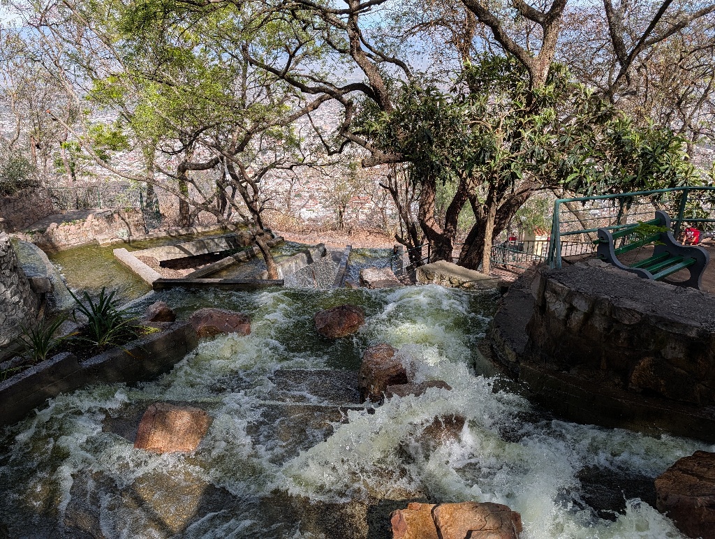
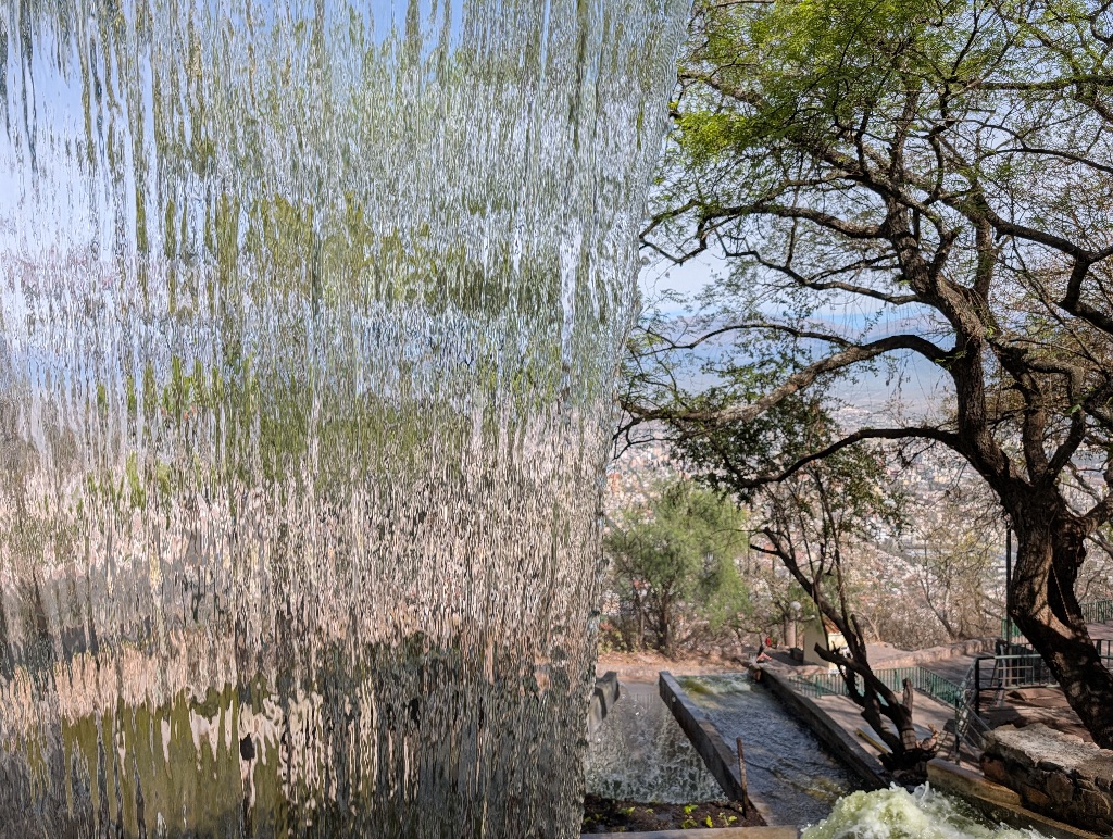
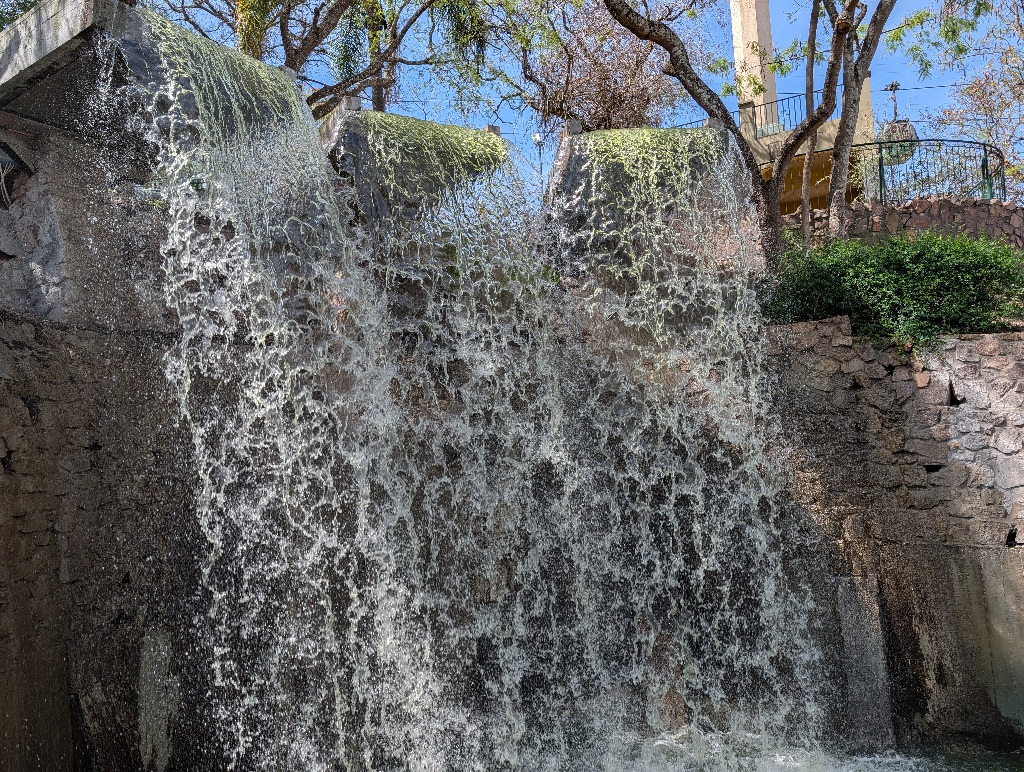
And, as it turns out, like many places in the area, the city name in large letters as a photo opportunity.
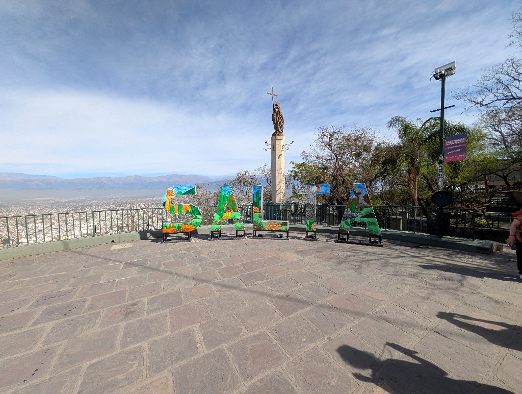
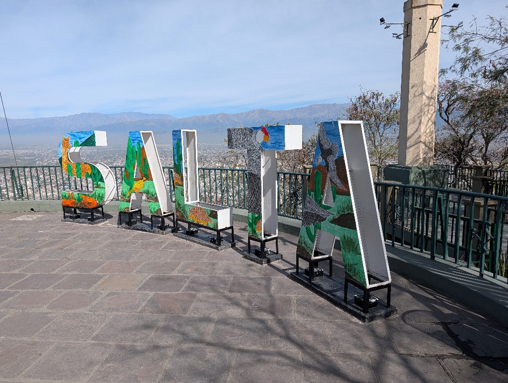
From there, a second cable car extends to another peak nearby. That doesn't provide much of a city view. But it has a good view of the local racing track.
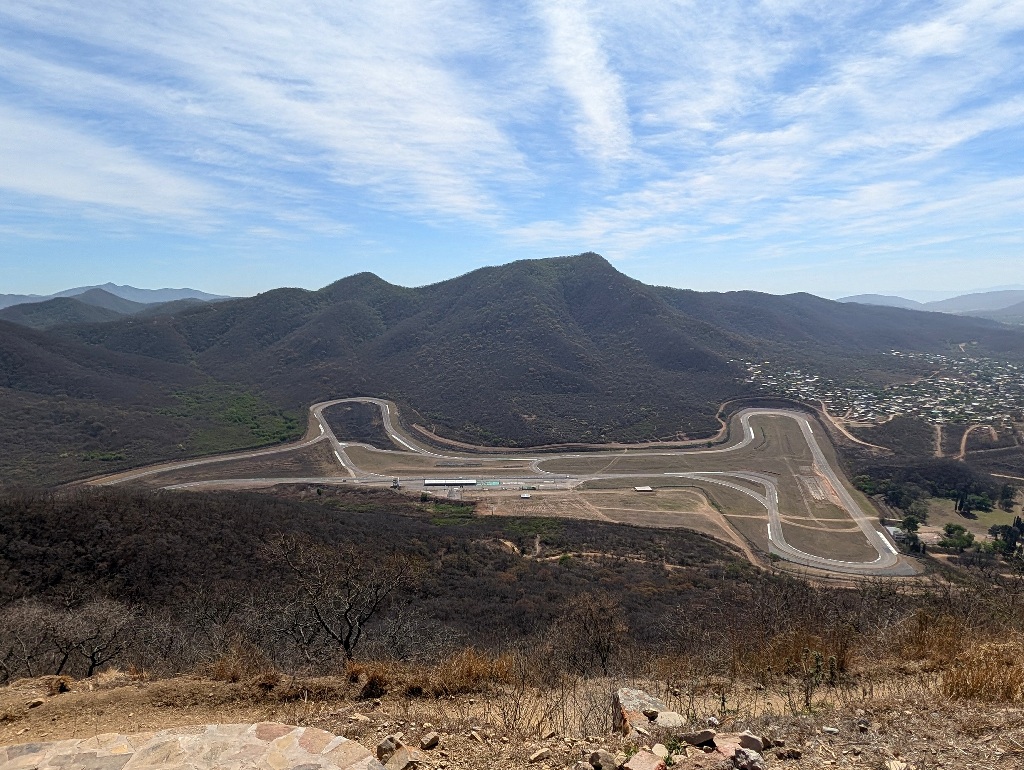
It doesn't seem to be much in use (I think I have seen only two or three events happening there during the year) and it doesn't seem to do anything else but racing events (so no 'race taxi' or 'drive the track in a fast car' or even 'drive the track in your own car'), so I didn't go there.
A bit of a pity, as it looks like a nice, fast track.
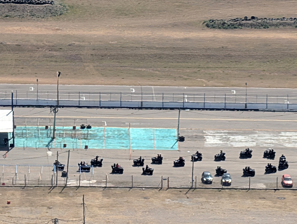
And there seem to be at least some things going on there.
When I was at the second viewpoint, some people were driving around on ATVs. But they were only moving back and forth around the pit area and entering the pits and driving out again. They didn't go onto the track itself. So I have no idea what has been going on.
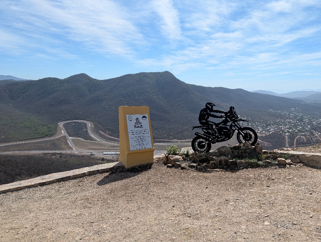
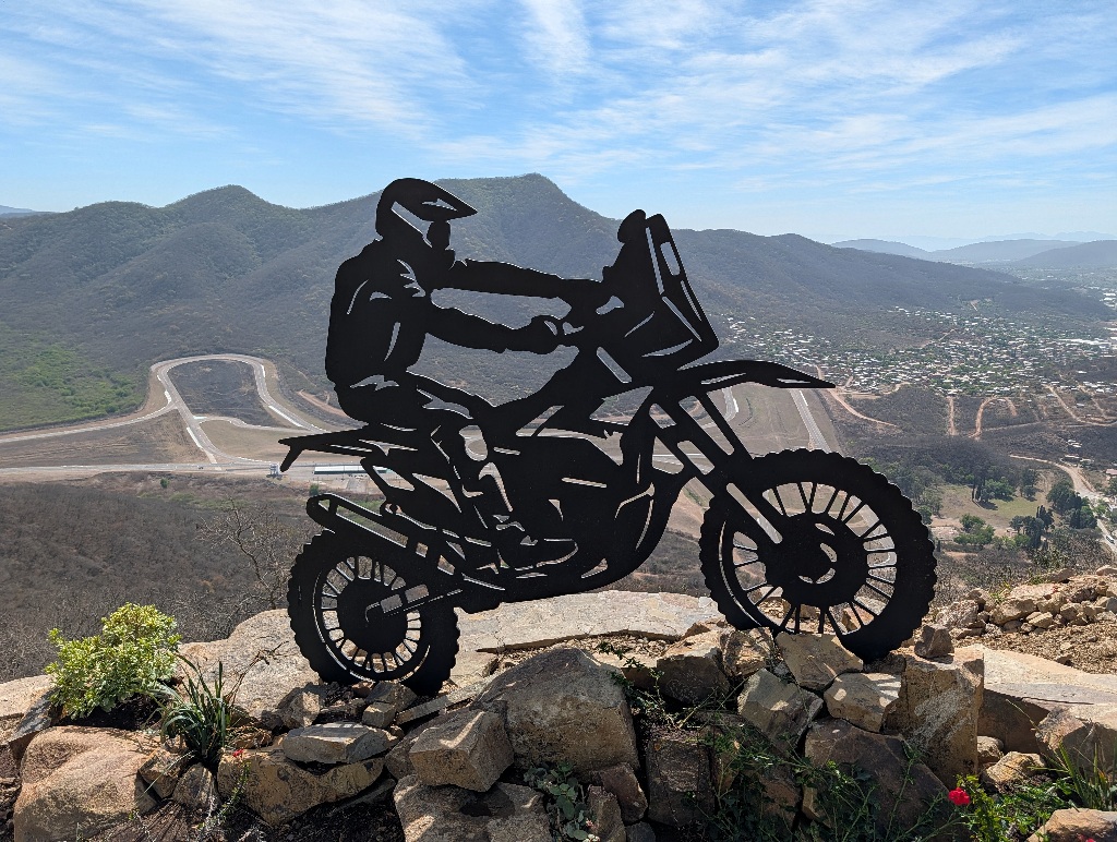
Near the final cable car station there's also a nicely dynamic looking memorial to the Dakar rally. (Which used to be called the "Paris-Dakar Rally", but is now rebranded as "The Dakar", as it hasn't started in Paris for 25 years now and hasn't ended in Dakar for 20 years now. So maybe in another five years, they remove 'Dakar' from the name as well.) But regardless of the name, Argentinian motorbike riders had a number of rally wins in recent years, specifically Kevin Benavides and Luciano Benavides, who were born in Salta. Which is the reason why they put up the sculpture there. (And I assume they intentionally kept the memorial looking generic, so that they didn't have to single out one of them. The plaque next to the silhouette has both names on it.)
Next day, I had planned to visit a railway bridge. But didn't.
There's a (well, presumably at least among train enthusiasts) famous railway line terminating in Salta. Nicknamed "The Train to the Clouds". It's among the highest railway lines in the world, going up to 4220 meters.
I didn't intend to ride that train. For organisational reasons, it takes a whole day. While only 44 km of the line are operational it moves slowly. And you can't ride it back and forth on the same day. You take the train from Salta to where it terminates (in the middle of nowhere) and then take a bus back. And it's booked out weeks in advance anyway. (There are a lot of train enthusiasts around.)
Along the way are a number of impressive railway bridges and I wanted to take a picture of one of them. (And I'm afraid that wanting to see a railway bridge is an even duller way to spend the day than trainspotting.)
In any case, when trying to drive there, it turned out that the last 15 km to the bridge were on a gravel road. And I didn't want to drive the rented car on that. (Not wanting to damage it on the first day.)
So I went to Campo Quijano instead, where they have a memorial of the bridge I wanted to visit.
The advantage was that it had a small train on it (it would have been unlikely that I would have arrived at the real bridge at the right moment to see the train crossing it). And it had the place name in large letters next to it, as a photo opportunity. (Which the real bridge probably hasn't.)
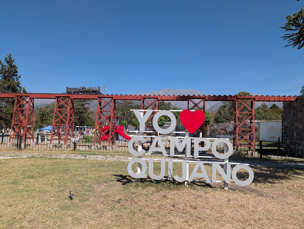
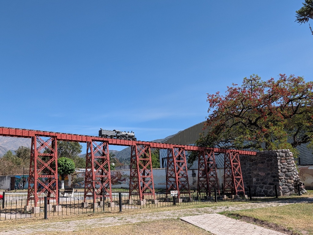
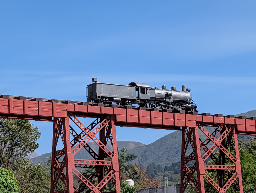
In the end, settling for a model of a railway bridge (even if it's large) is even more lame than driving to see a bridge. But it was a nice day and I literally didn't have anything better to do.
And it was hot.
Not quite as hot as it had been in northern Spain a month earlier.
But hotter than I had planned for.
I knew that this was a mountainous area and that many parts of it were above 3000 meters (like the railway line that peaked at 4220 meters), so I expected weather similar to the one in the Alps. Often sunny, weather changing quickly, but mostly windy and cool.
In fact, temperatures were often around 30°C at noon. Not exceedingly hot, but as there aren't many trees at the higher altitudes, there's little shade.
But, as they say, it's a dry heat.
The dryness was noticeable everywhere, but it was most obvious at the rivers.
In the area around Salta, the dry season is from May to October (and I was visiting there in early October), so the rivers were at best brooks, like the Rio Rosario here.
The local cattle had to make some effort to even find the river.
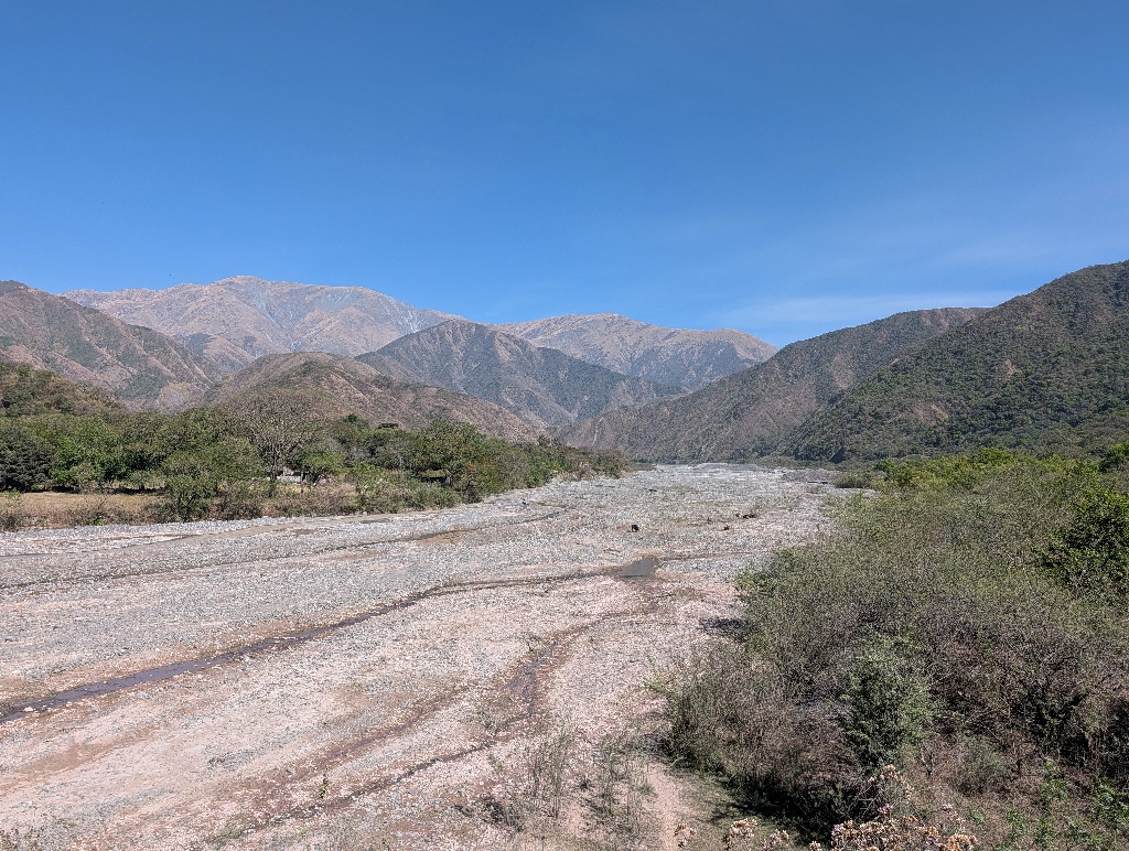
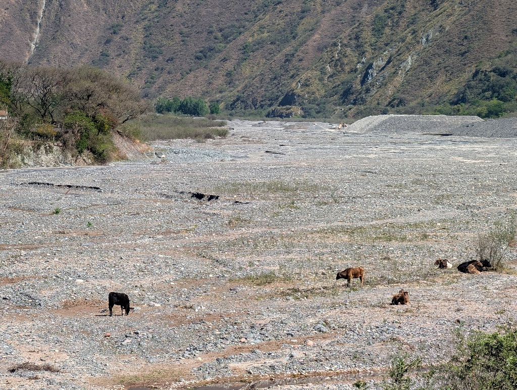
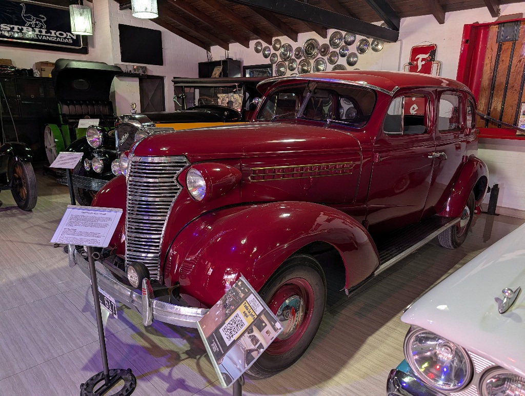
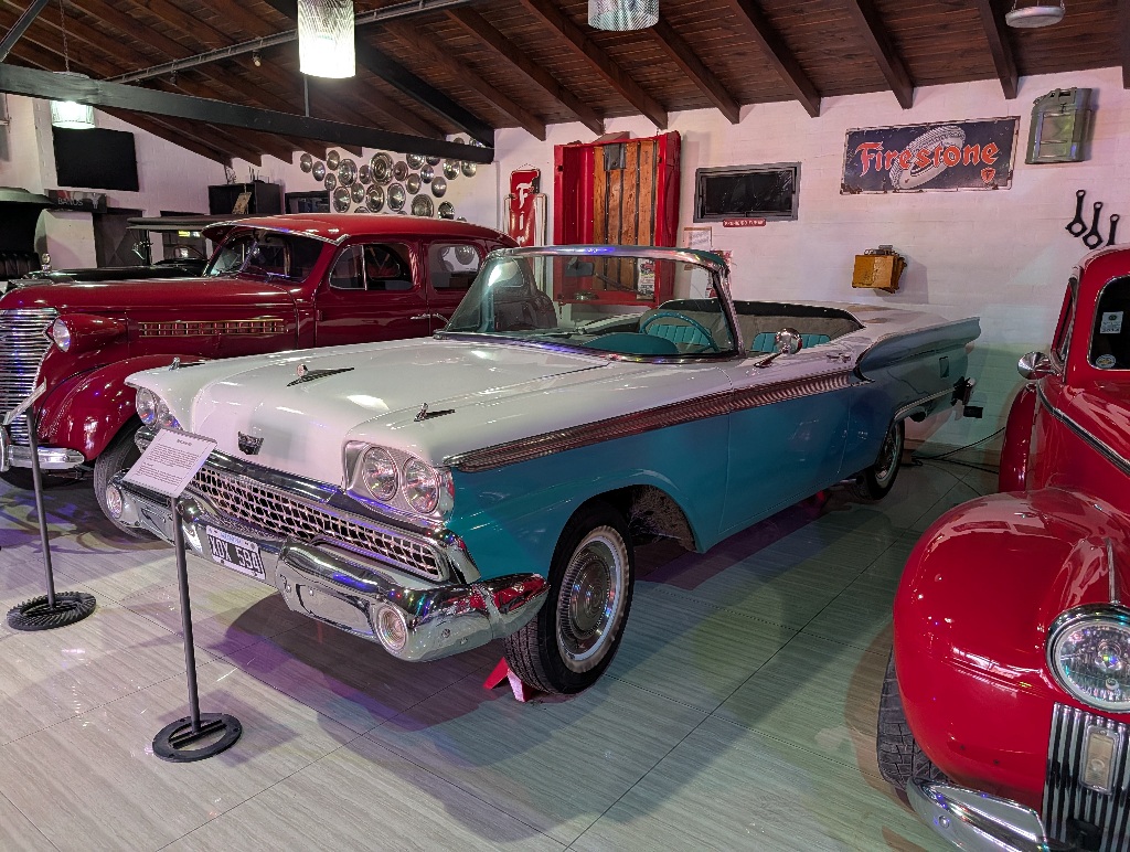
I went to see a small waterfall nearby (a real one, not an artificial one like the one at the Salta viewpoint), but that had dried up. But at least there was a tourist office nearby that had an advertisement for the local car museum.
It's a small one, but it still had more cars than the Automovil Club Argentino museum in Buenos Aires.
The museum doesn't seem to be that popular, though.
I went there during regular opening hours. And after ringing the door bell, someone had to come and unlock the museum for me, so I could have a look.
While there aren't that many cars, the ones they have are impressive.
Mostly massive limousines from all kinds of decades.
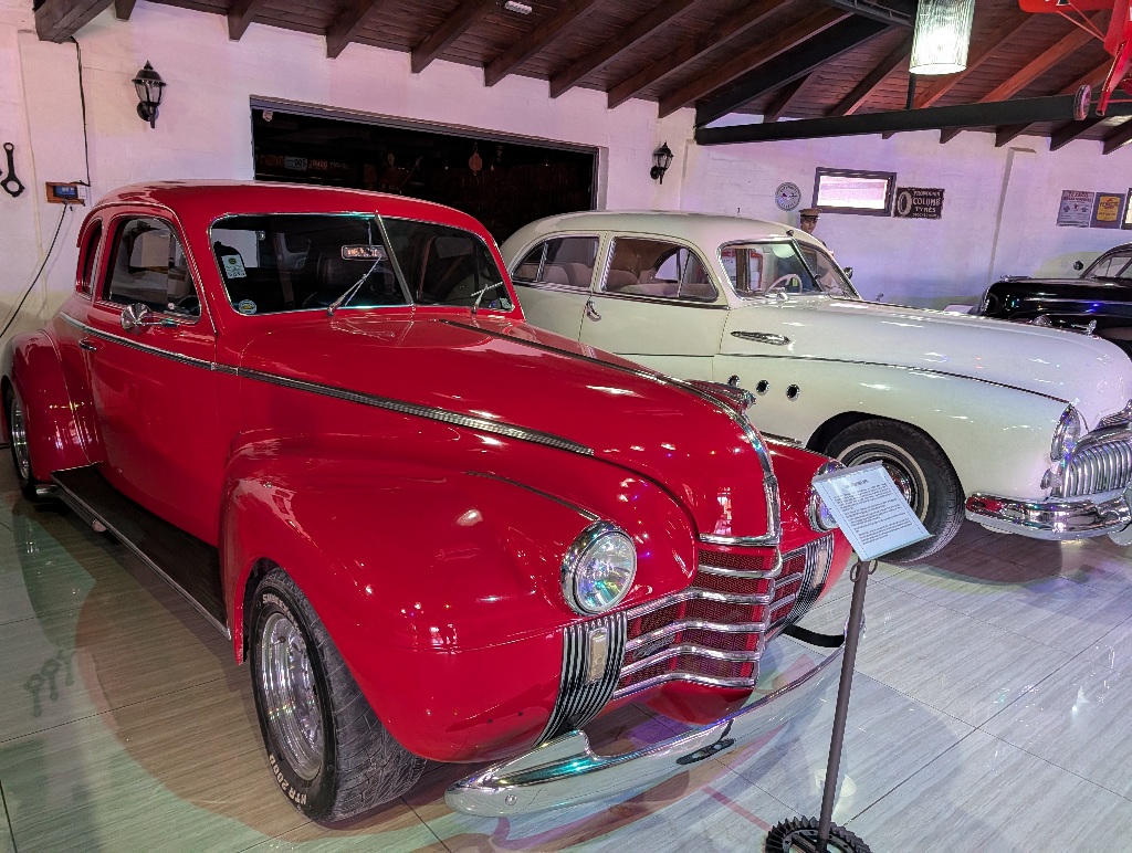
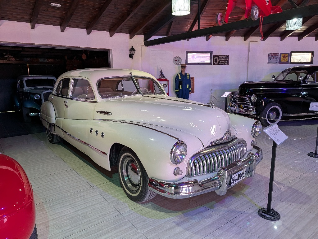
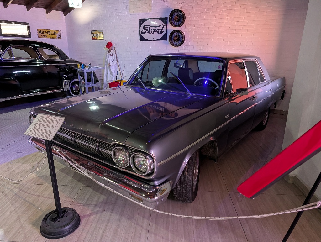
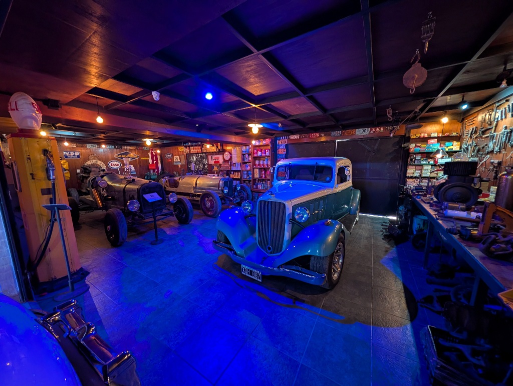
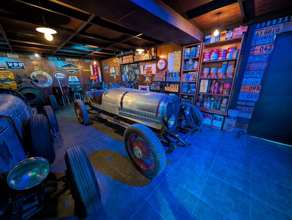
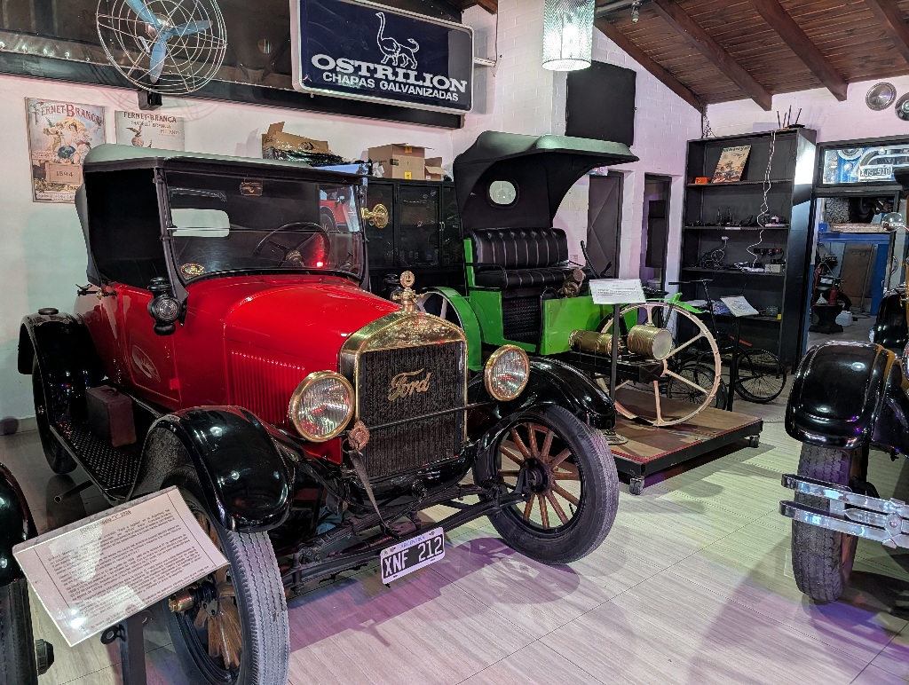
That was the most technical thing I looked at for a while.
Most of the rest of the trip was spent looking at geology.
First stop was Purmamarca, best known for the "Hill of Seven Colors".
I can't really vouch for the 'seven colours', as most of it is gradual. You could equally claim it's four colours (red, grey, a sort of greenish grey, and light brown) or that it has fifty shades of colour.
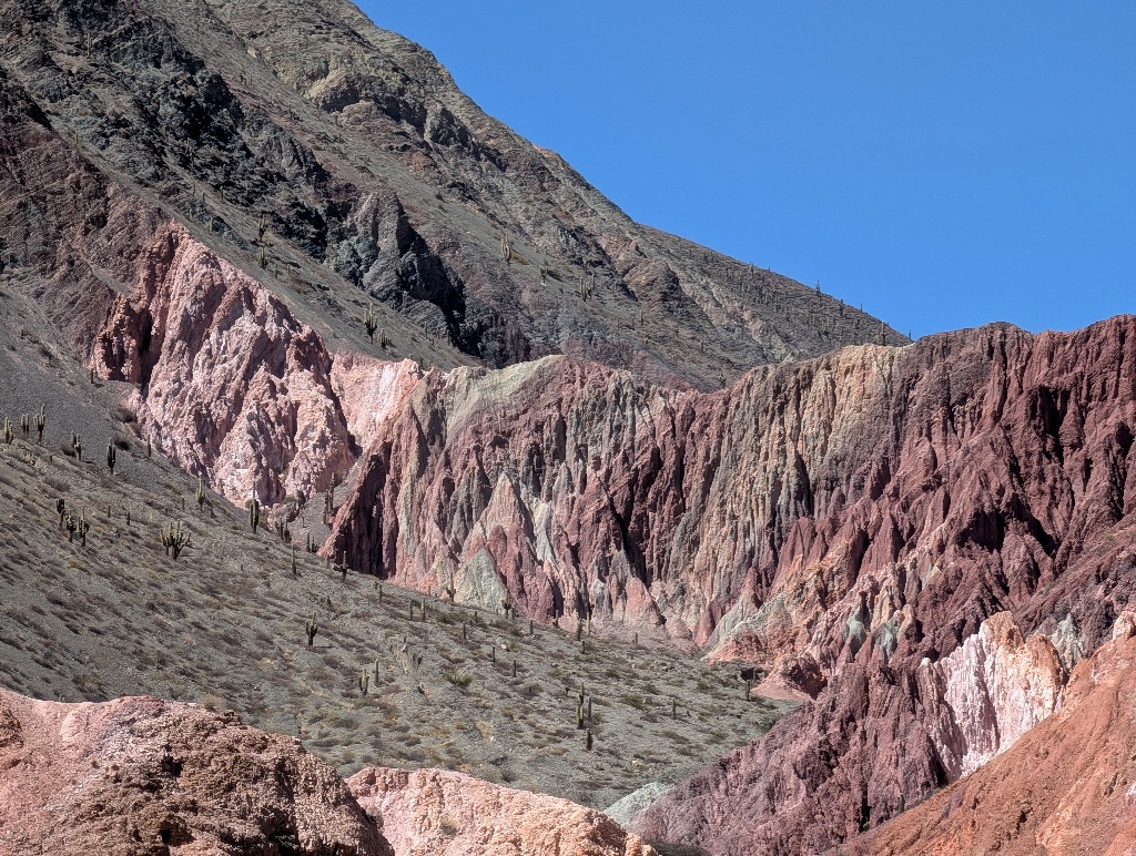
Not that it matters much.
The main thing is that the hills do look interesting.
And there's a pleasant path, the Paseo de los Colorados, through the hills.
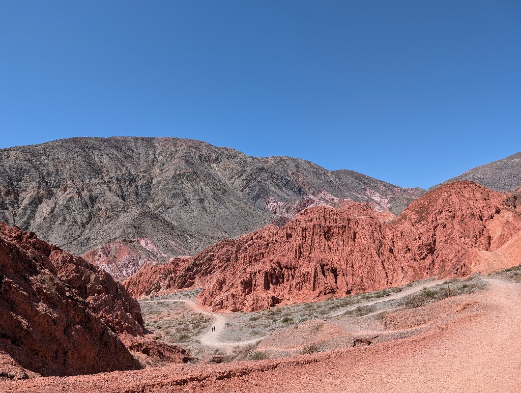
It starts right next to the place I was staying at.
When I walked along the path in the morning, I almost had it to myself. I met about half a dozen people along the 3km long path, which starts on one side of the village of Purmamarca and ends up on the other side of it.
Even in the morning, it was hotter than I expected. There is no vegetation except for some small bushes and the occasional cactus, so almost no shade.
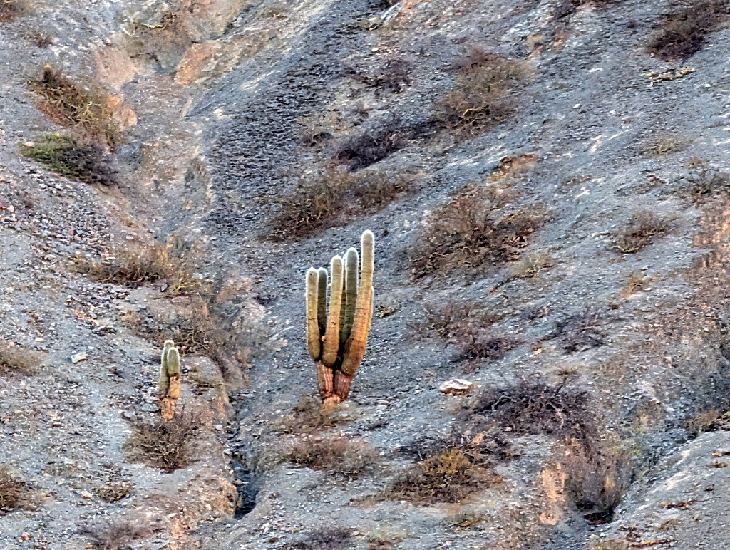
And, at that time of year, no water either.
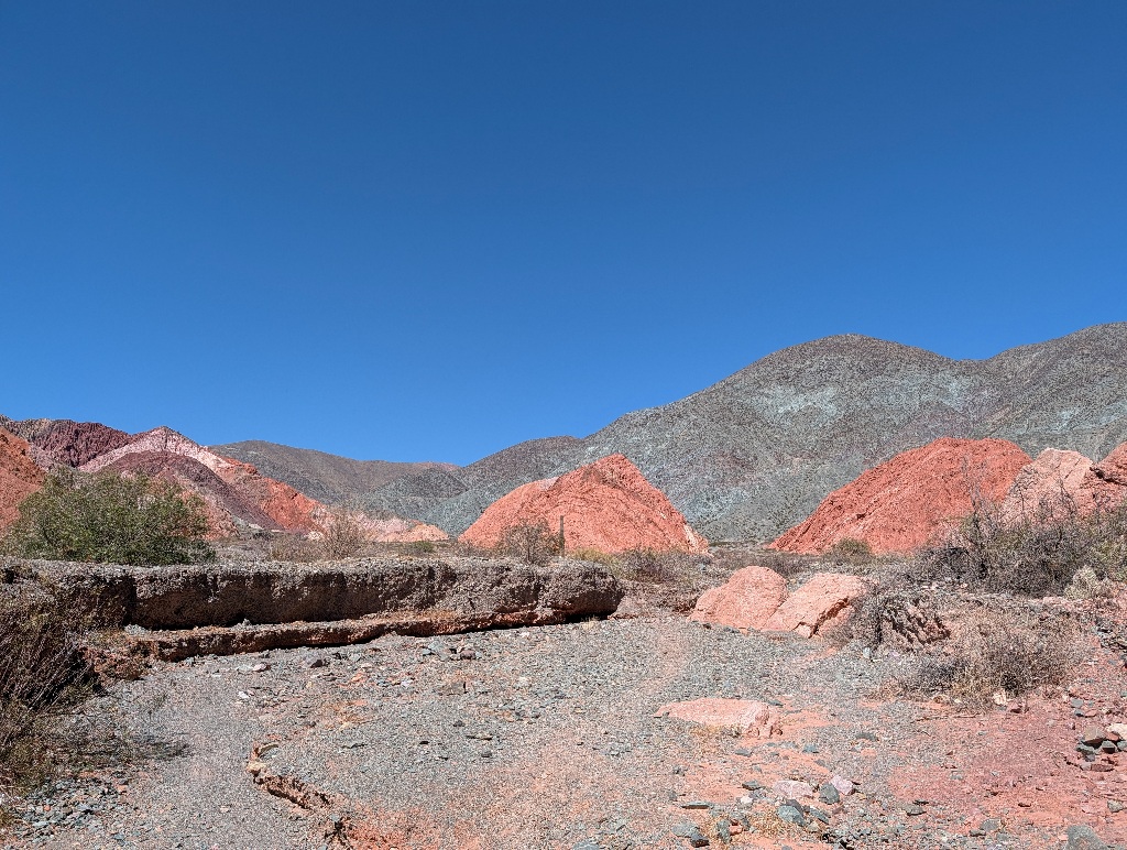
The picture above was taken from a riverbed.
The temperatures were manageable, but as I was still expecting some alpine weather at that point, I was taken a bit by surprise.
But whatever the weather, it is a great walk.
The track is obvious and well maintained, winds between the hills, so there's not much of a climb and the scenery changes quickly, providing variety.
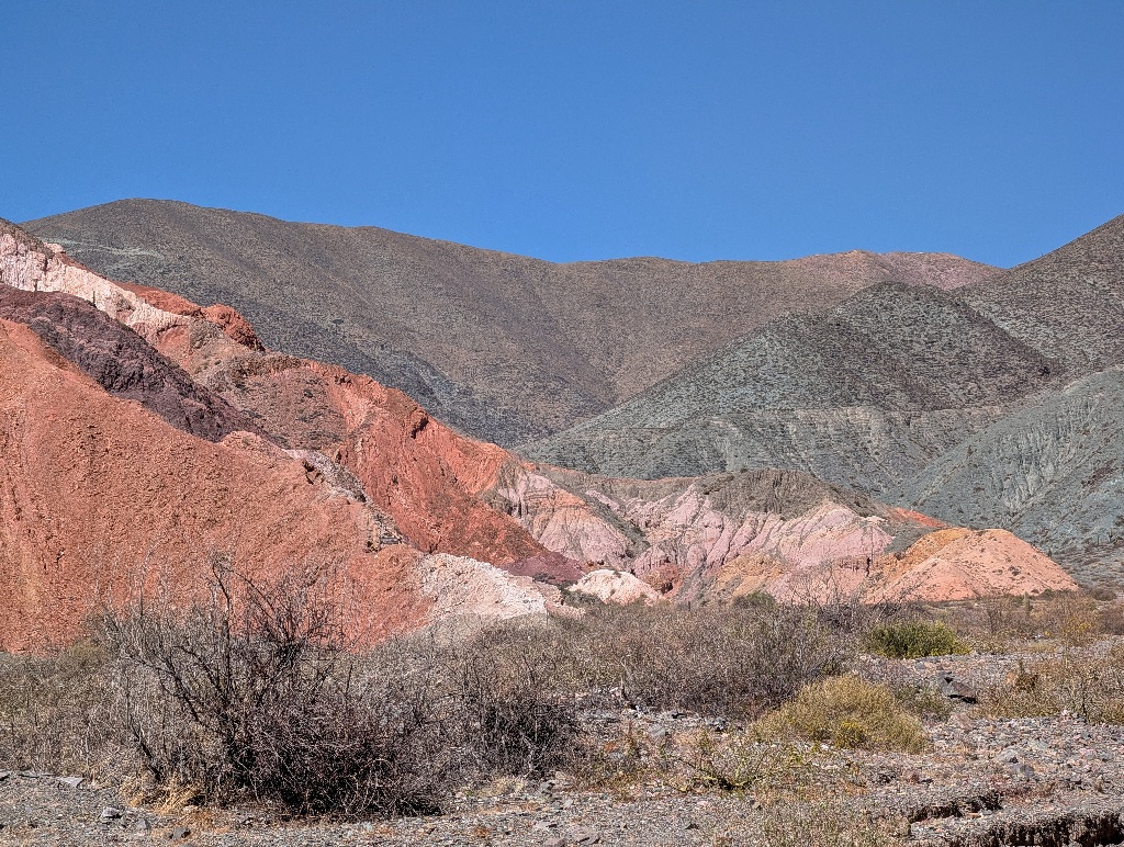
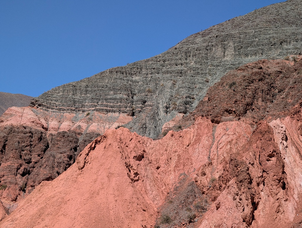
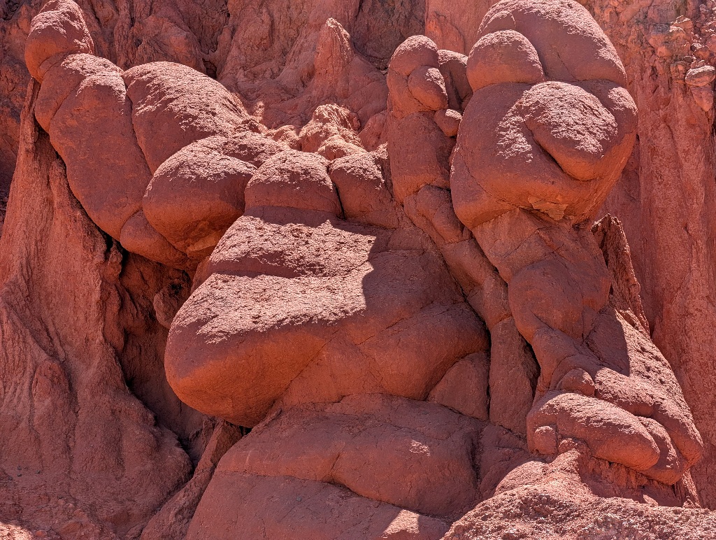
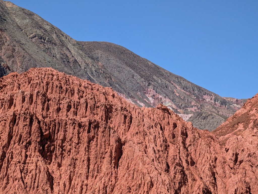
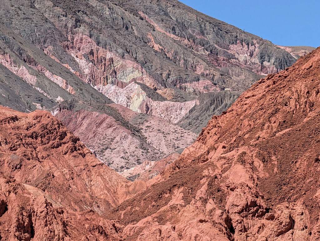
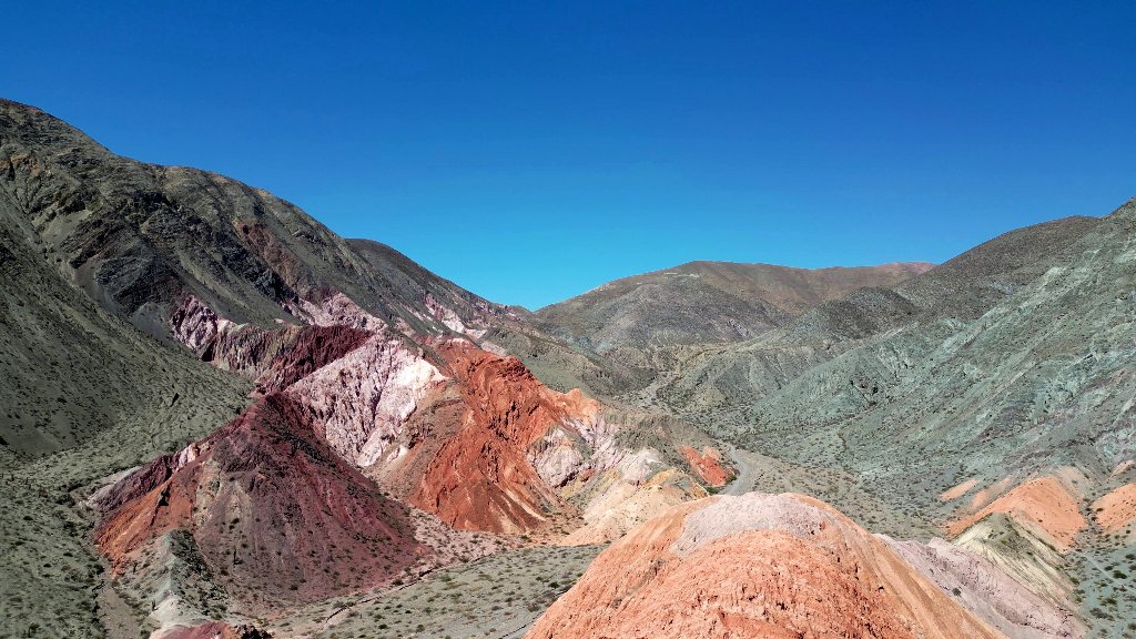
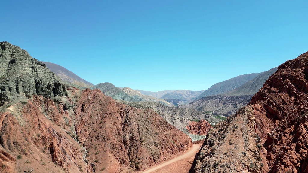
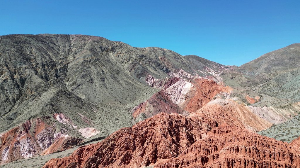
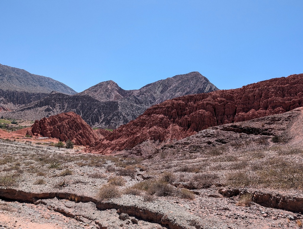
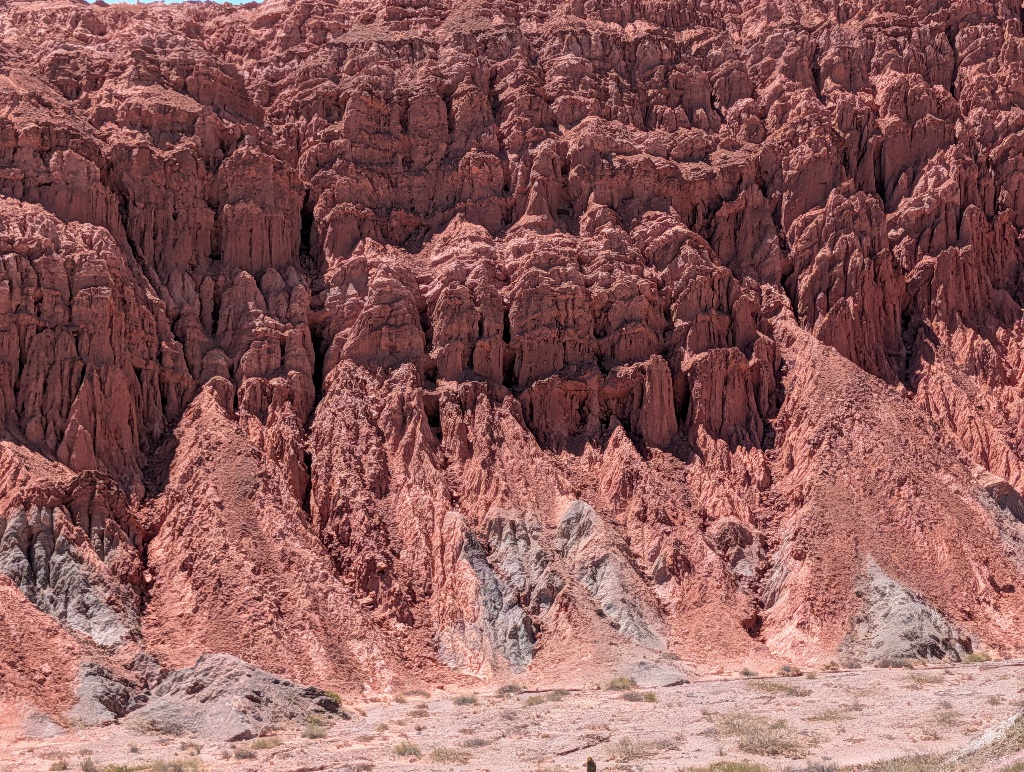
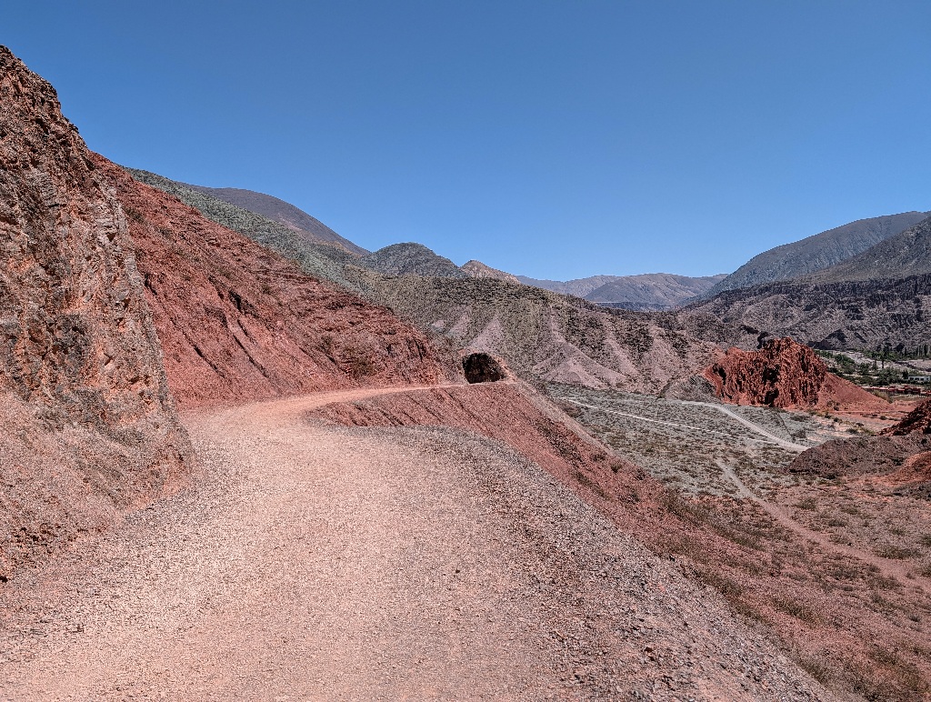
With the right light, the scenery can be a bit misleading.
At some point I thought I had seen a tunnel ahead, only to notice, on closer examination, that it was simply the shadow side of a large rock beside the trail.
Other holes in the rock turned out to be real, though.
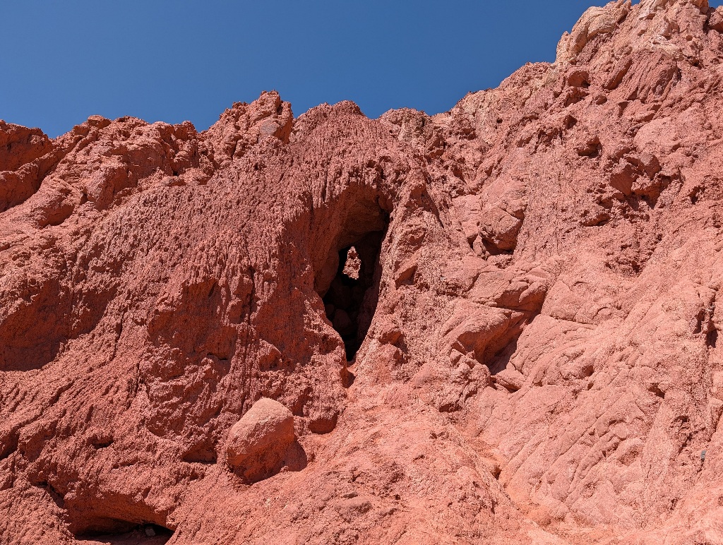
At that point, I still assumed that this was a fairly remote place and there weren't many people around. Argentina is a big place. And while I knew there was some interesting landscape in the area, I assumed it would not be very touristic. When reading about Argentina and travels, the main topics seem to be Patagonia, horse riding on vast estancias, and maybe some mountaineering shenanigans in the higher regions of the Andes. But not so much looking at interesting hills.
But it turned out that Purmamarca is a massive tourist spot, with dozens of tour buses stopping there each day.
Which became slightly more obvious when I got back to the village and saw how many vendors were peddling their wares.
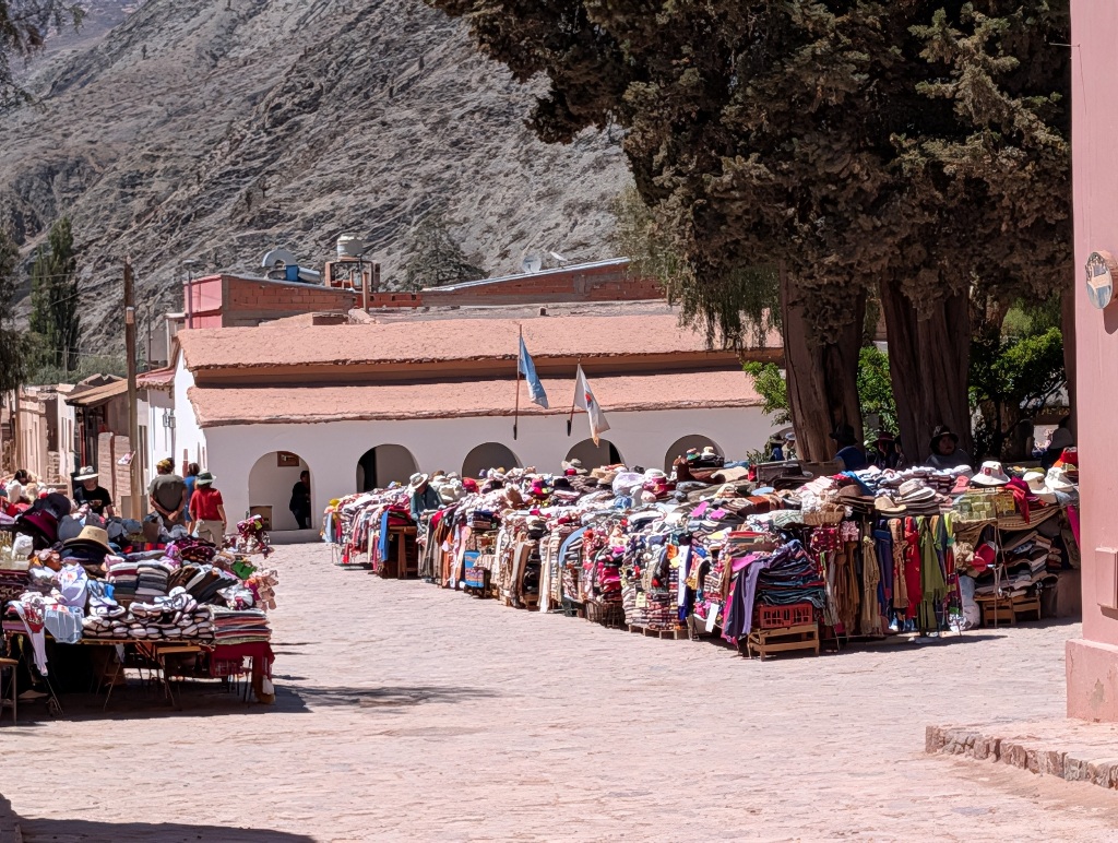
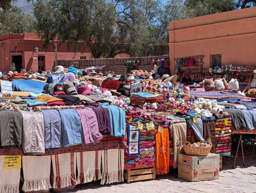
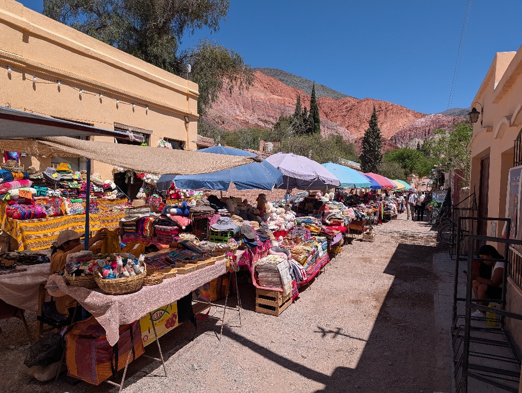
Almost everyone got the same stuff. Ponchos and scarves, presumably from Alpaca wool, blankets, socks, little toy llamas and sun hats.
As I had been staying in Purmamarca, I accidentally missed the crowds, which tended to arrive on day trips from Salta covering the main attractions in the area either earlier or later in the day, depending on the order in which the tours covered the attractions.
I was, essentially, visiting the same attractions, but at a more leisurely pace. Essentially one per day.
Before I drove to the next attraction on the following day, I enjoyed a full moon during the night.
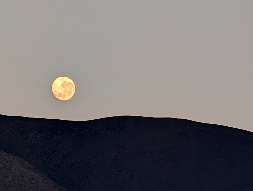
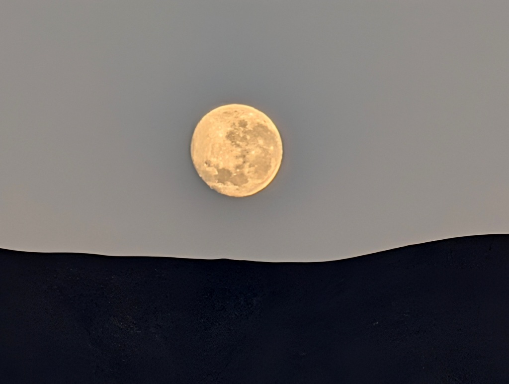
It looked a bit odd, as I was now on the Southern Hemisphere, so the moon is a bit upside down, compared to how it looks at home.
Next morning, I headed to a place that would be the next destination (or, depending on the direction, the preceding) destination on the day tours - Salinas Grandes.
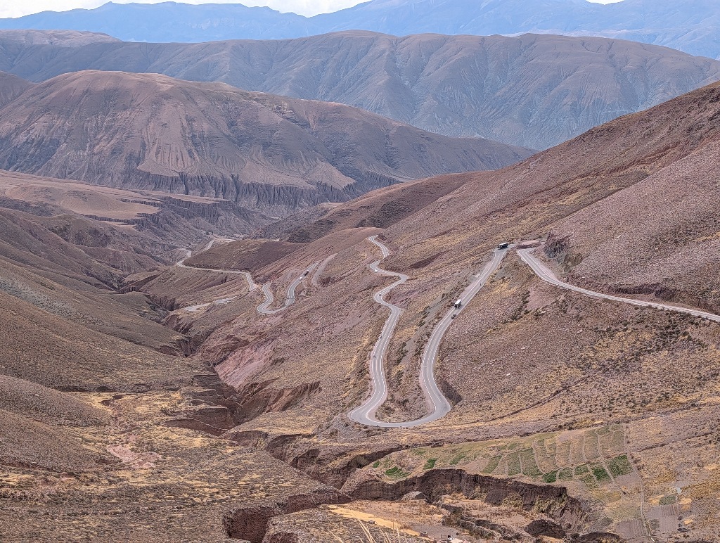
But on the way to that I stopped at the (literal) high point of my travels so far. Purmamarca is at the western edge of the Andes and from there to Salinas Grandes, you drive into the eastern edge of the Andes mountain range.
The road is a fun mountain road to drive - well maintained asphalt surface, lots of serpentines, wide enough that trucks can pass each other easily, proper guardrails on the downhill side of the road. Some traffic, but not a lot.
(Or it least it would have been fun to drive with a small, agile car. My rental car was a "Renault Logan" (a rebranded Dacia Logan), which has been designed as "an affordable car, and has many simplified features to keep costs down". The type of car I had been driving was a model that has, for example, not been on sale in Germany for more than 15 years now, since even with its competitive pricing (less than 8000 Euro for a new one) there wasn't enough demand for it. So, as a car, it's a bit boring. The advantage, though, was that it didn't have any 'modern' features. No nagging and beeping that I wasn't paying attention to the road, was above the speed limit, too close to any other car or not properly centered in the lane. On the other hand, no reverse camera or even a distance alarm when reversing.)
Even though the road was good, it seems that some cars still had issues with it.
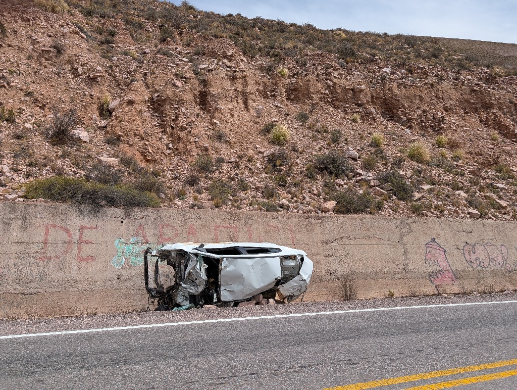
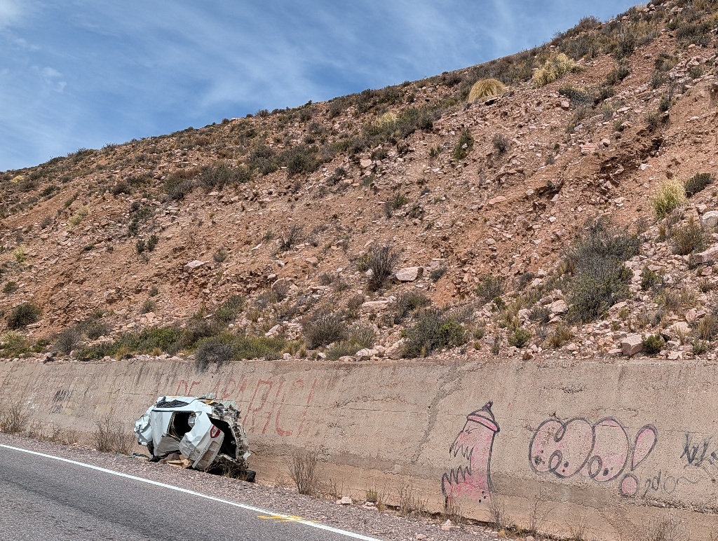
Although I am not sure whether that was really a car that had rolled down the mountain or simply some crashed car that had been placed there by the local police as a warning.
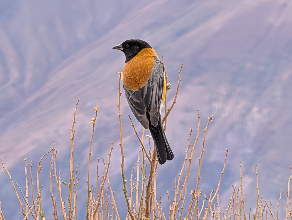
While I am not sure what it expects to get out of it, there was a bird (which an inverse image search tells me is a black-hooded sierra finch) in a hedge nearby, watching the traffic.
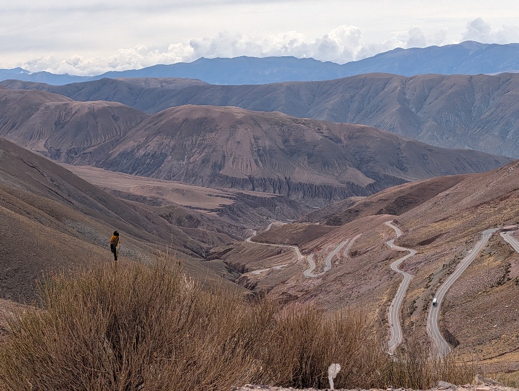
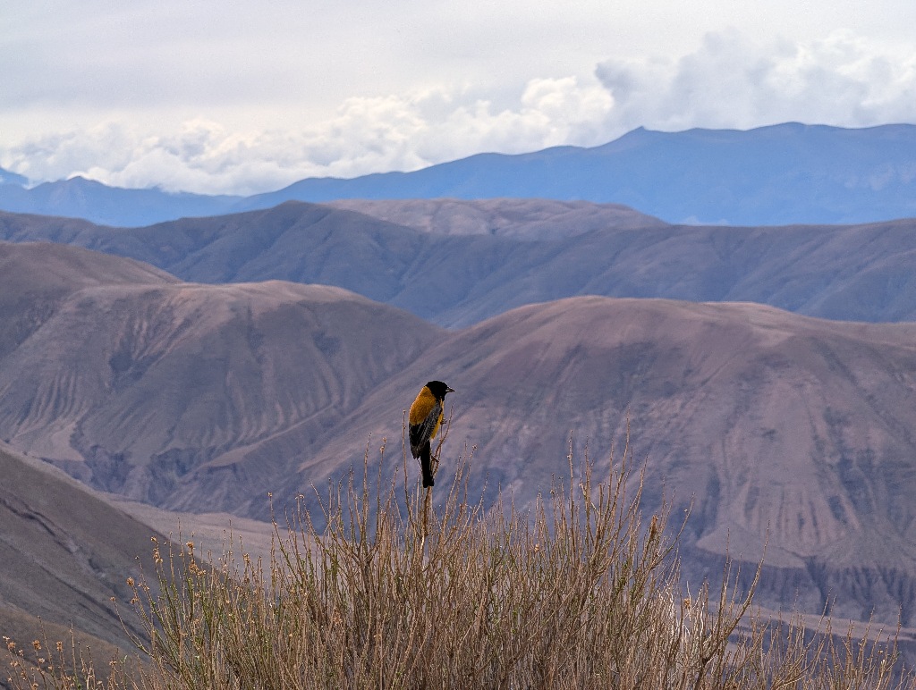
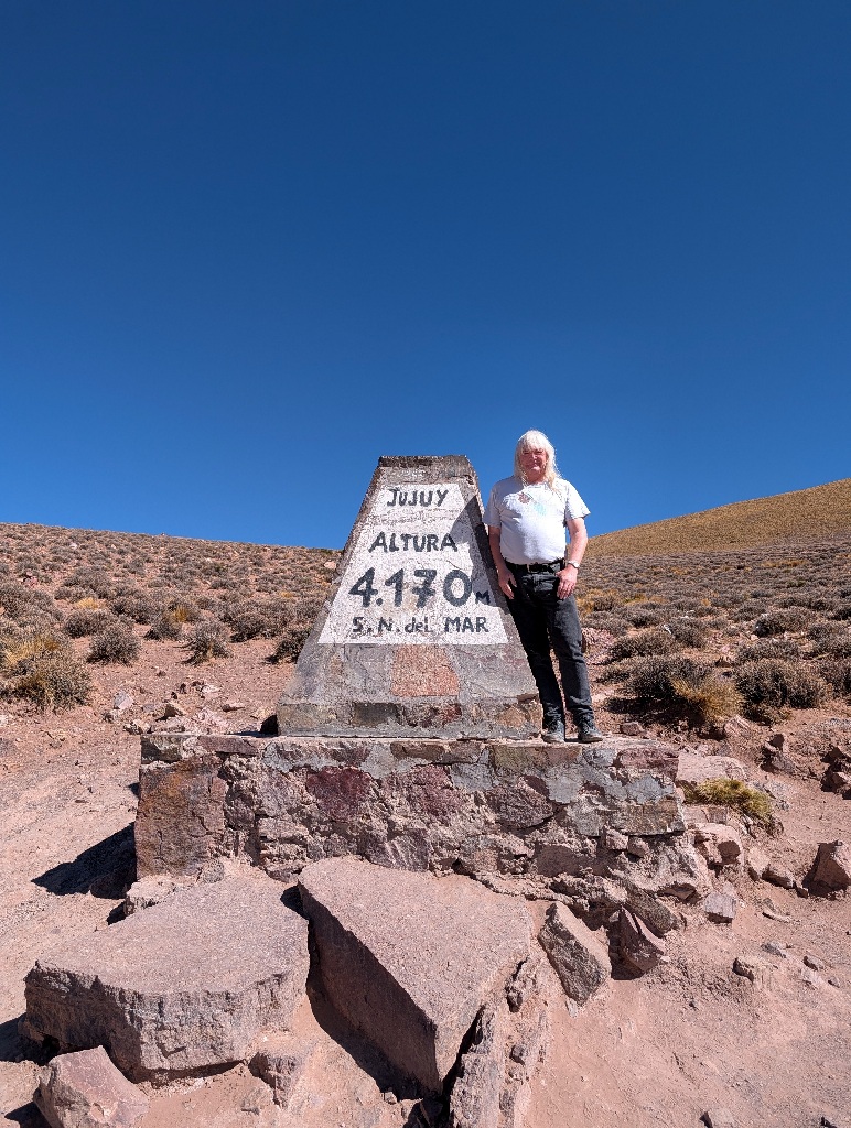
The relevant point, however, is that the road climbs over the mountain pass at an altitude of 4170 meters. This was a fair bit higher than my previous highest point (while standing on the ground) in the area of Cusco, Peru, which is at about 3400-meter altitude.
From there it was down the road (in this direction a bit less winding) to Salinas Grandes at 3632 meters.
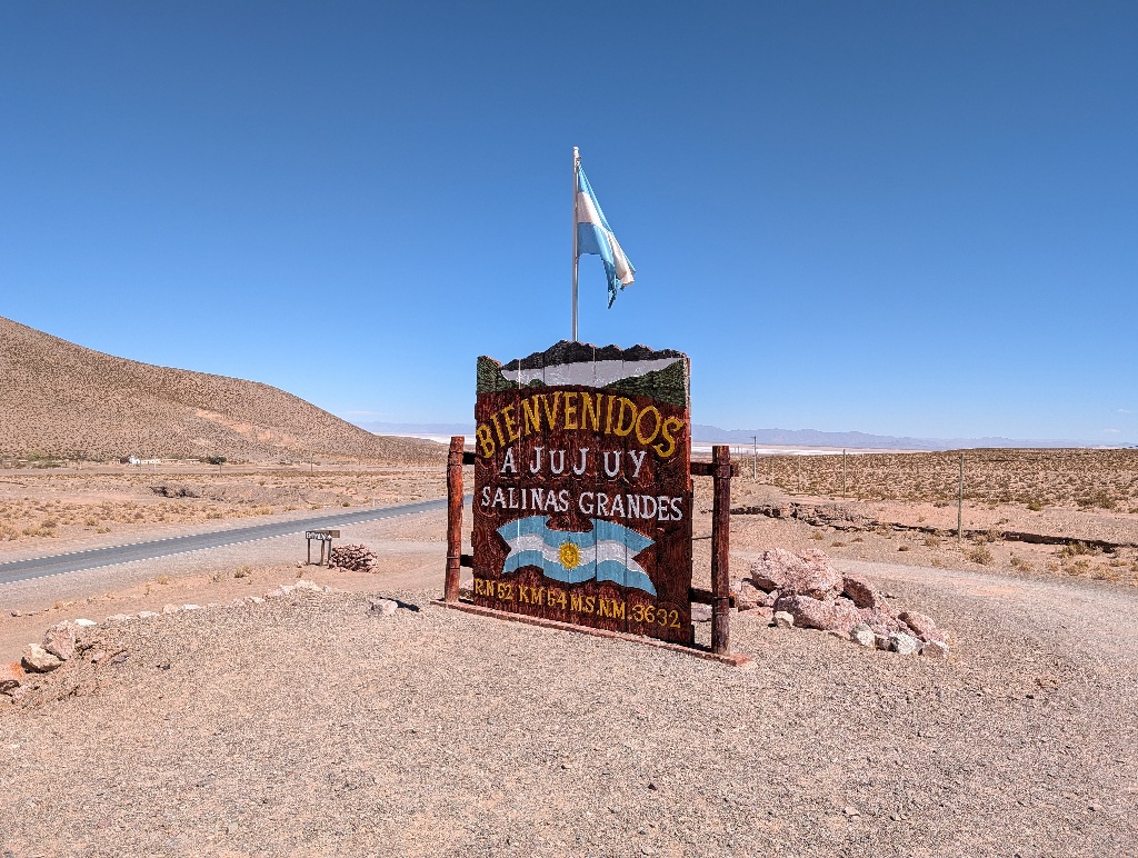
Salinas Grandes is, as the name strongly implies, a large salt lake.
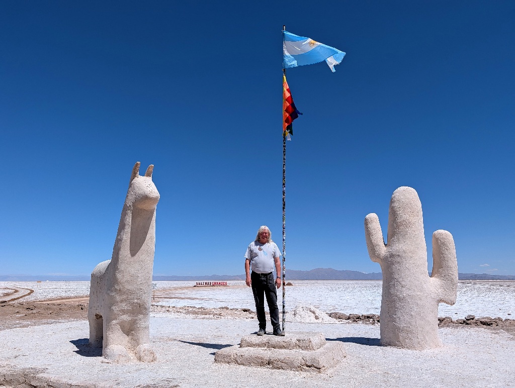
And, of course, there was a photo spot with the name of the place in large letters in the background.
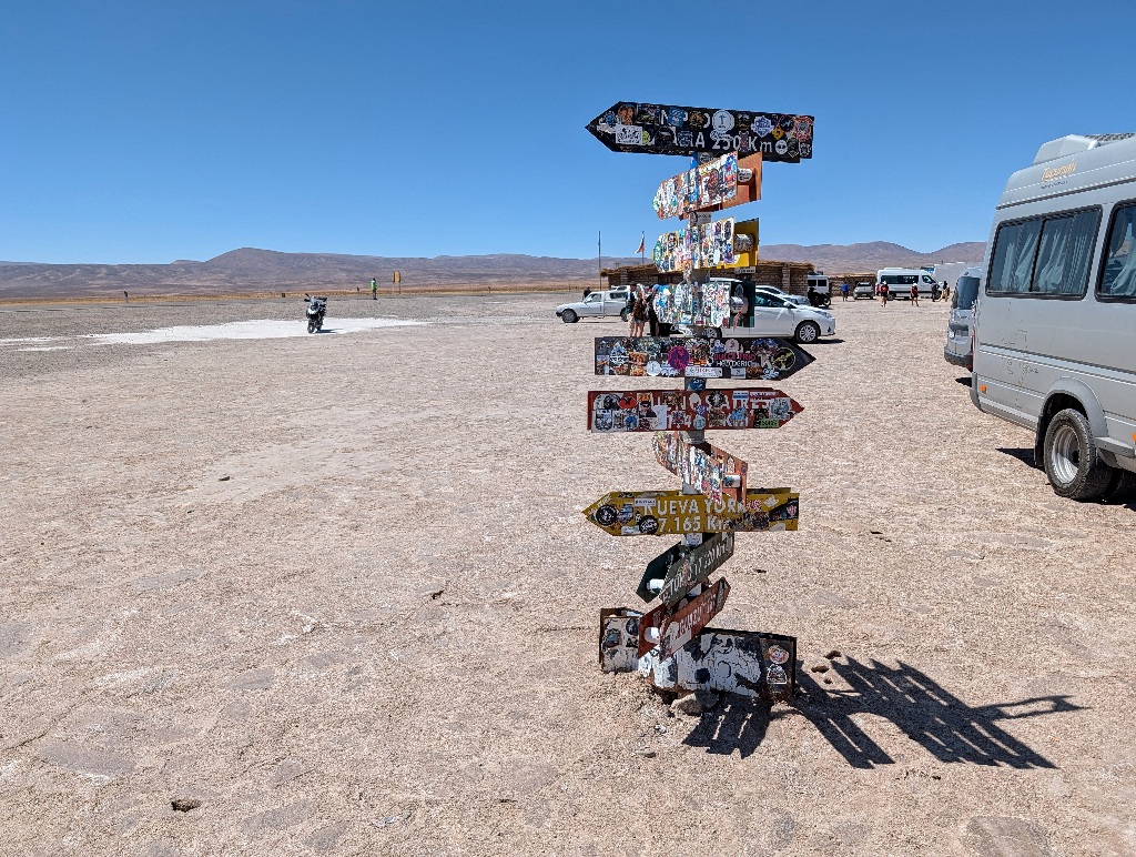
As it's a remote place, far away from anywhere, it also has one of these signposts with distances to all kinds of places. But there are so many stickers on it that is hard to read (or even guess) most of them. I could identify New York (or Nueva York) and Buenos Aires, but that's about it.
Most of the salt flat is a crinkly off-white plane, but at some points there are little rectangular pools dug into the salt and filled with water.
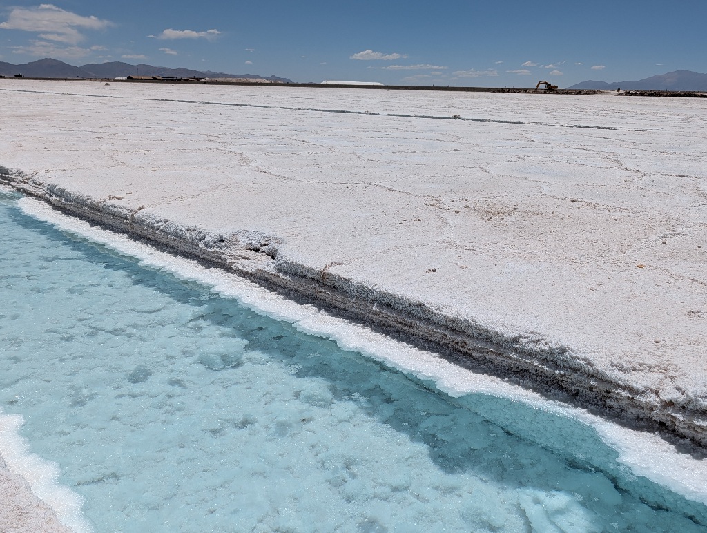
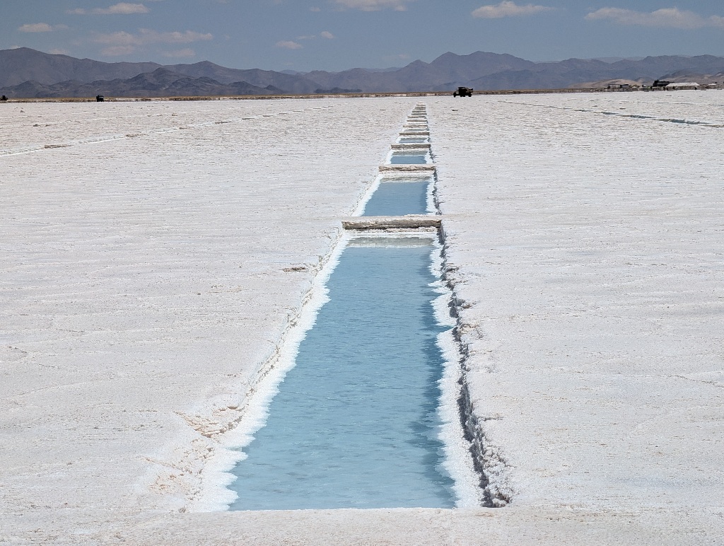
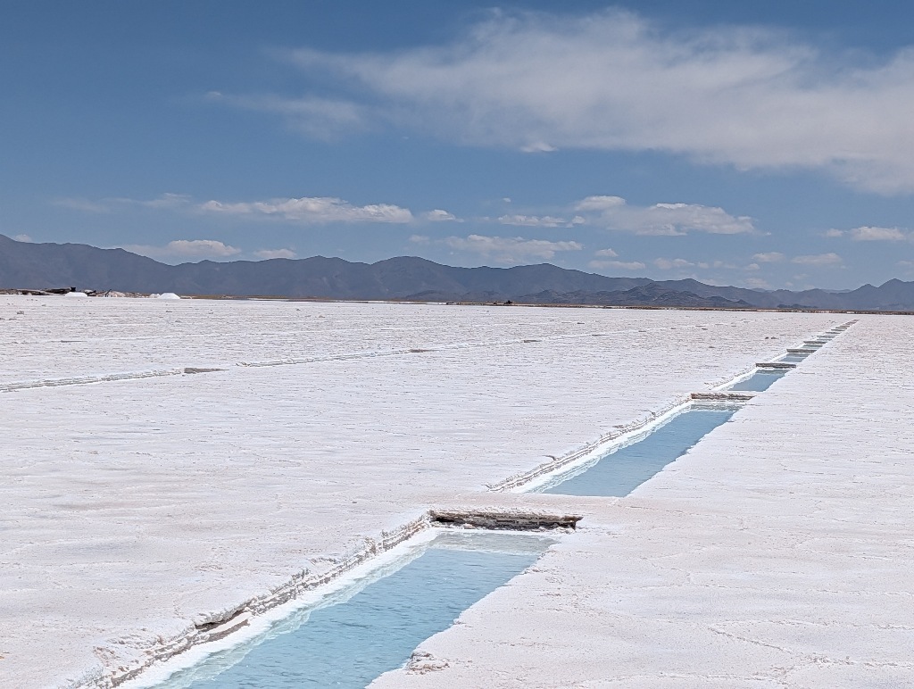
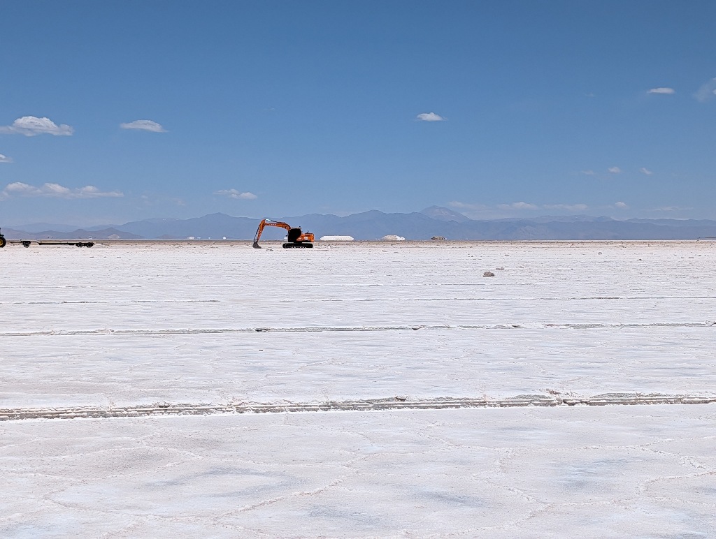
I am not quite sure how the salt production works here. I know that there are salt production areas in Portugal, where they let seawater flow into shallow basins, let the water evaporate and harvest the salt.
But here the salt is already there. And the water that comes from the mountains doesn't add much salt. And the rain coming down during the wet season doesn't add salt at all.
So I don't understand the process they are using here.
Especially as they then take the salt and 'wash' it to get rid of impurities. Which means you have dry salt, add water to it, wait for it to evaporate to get dry salt again. Which you then dissolve in water (and let it dry again) to clean it.
It doesn't matter much.
The main thing is that the little pools give you a nice, reflective surface and a photo opportunity.
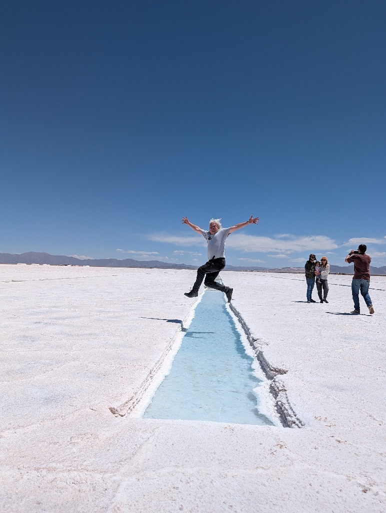
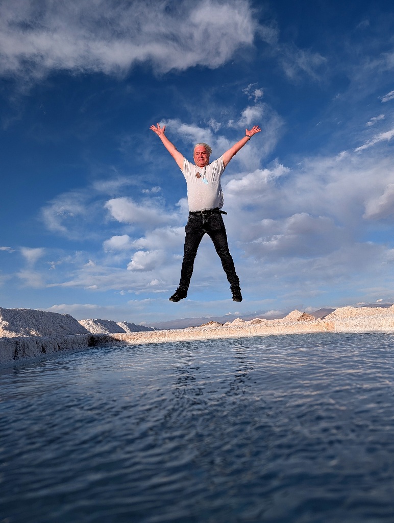
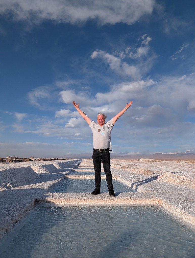
Of which there are many.
A key feature of the salt lake is that the air above it is extremely dry, as all the water gets absorbed by the salt. There is no atmospheric haze (and I assume the thin mountain air helps as well).
There's also a lot of sunlight, which results in a extensive depth of field.
Which means it can be difficult to determine the relative distance and size of things in photographs.
So the guide brings a set of props to photograph and then directs you to the right position and pose.
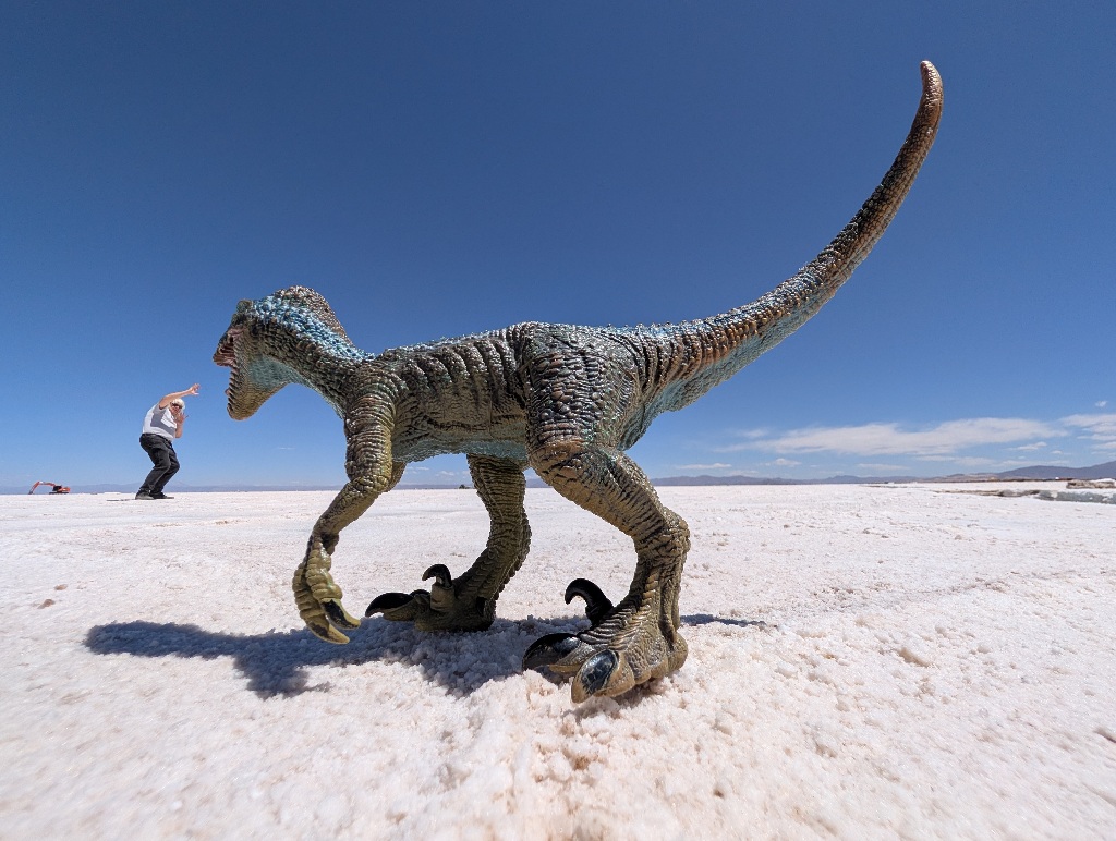
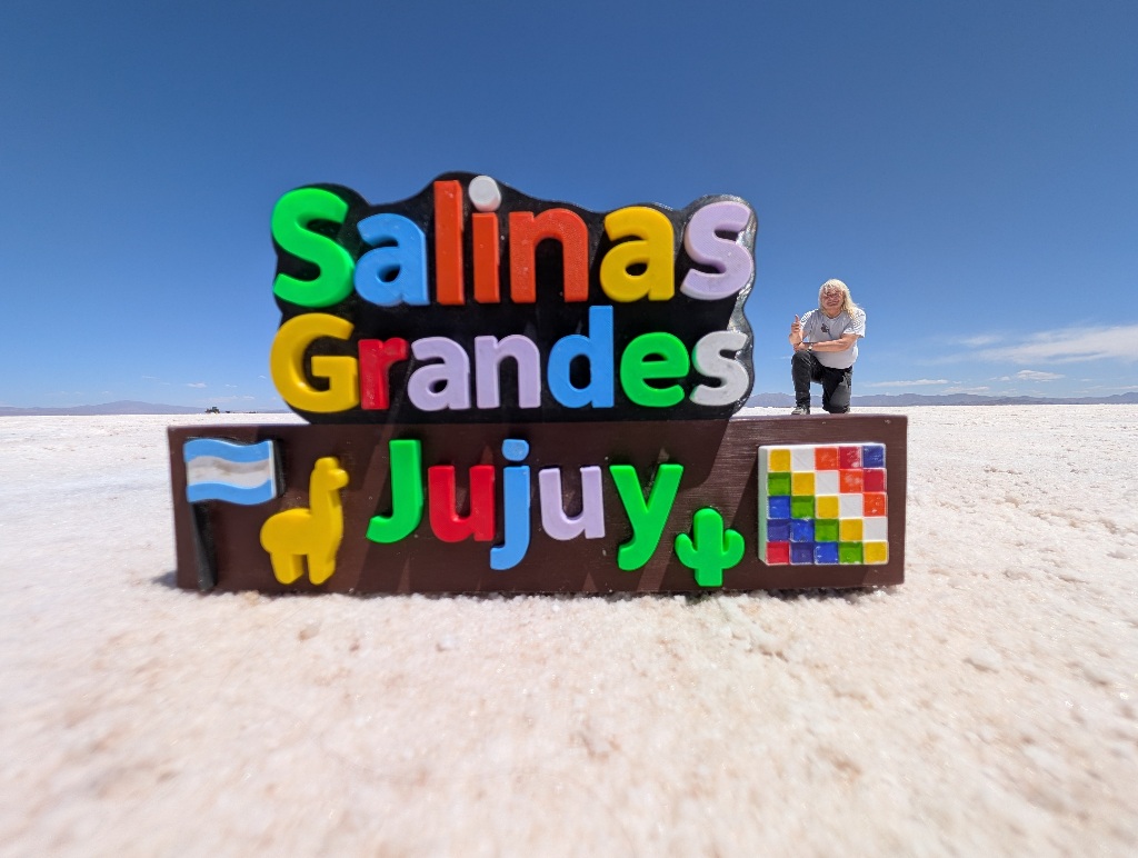
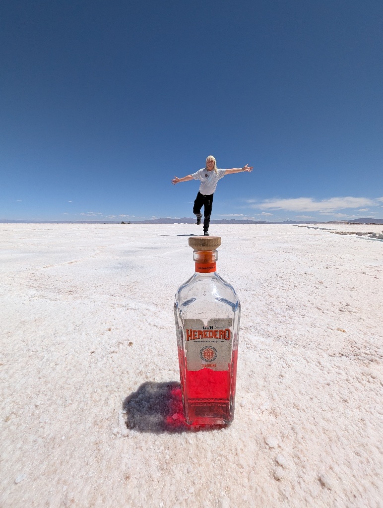
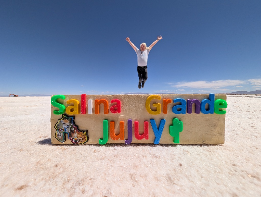
Although the second one feels possibly too real. As there are lots of places in the region that have the place name in large letters as a photo spot, that could possibly be a full-sized monument (like the flag, the salt llama and the salt cactus with large letters in the background, a few pictures earlier), instead of the 15 cm high wooden block that it is.
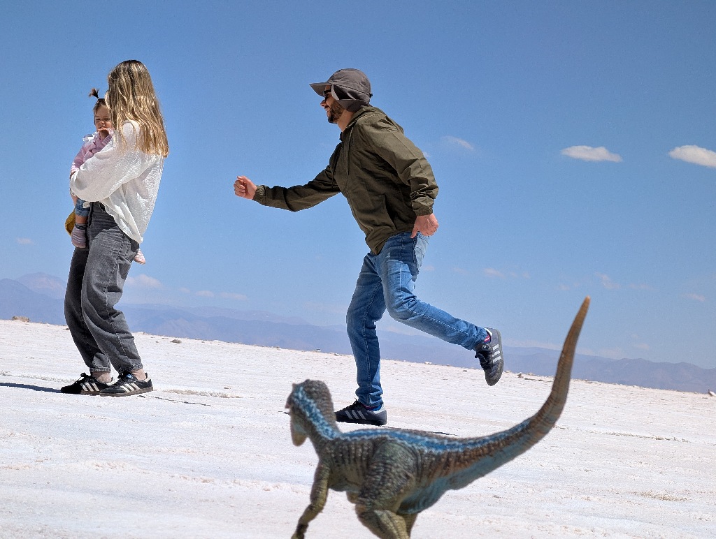
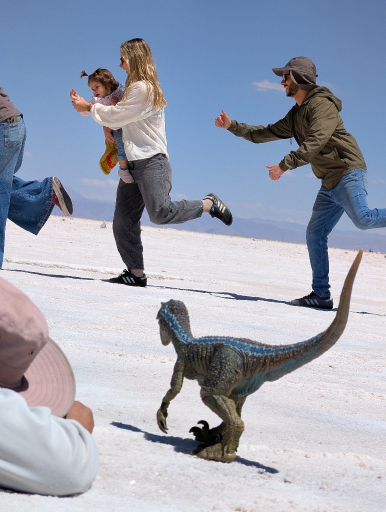
The common other photo spot is one of the "lakes on the lake".
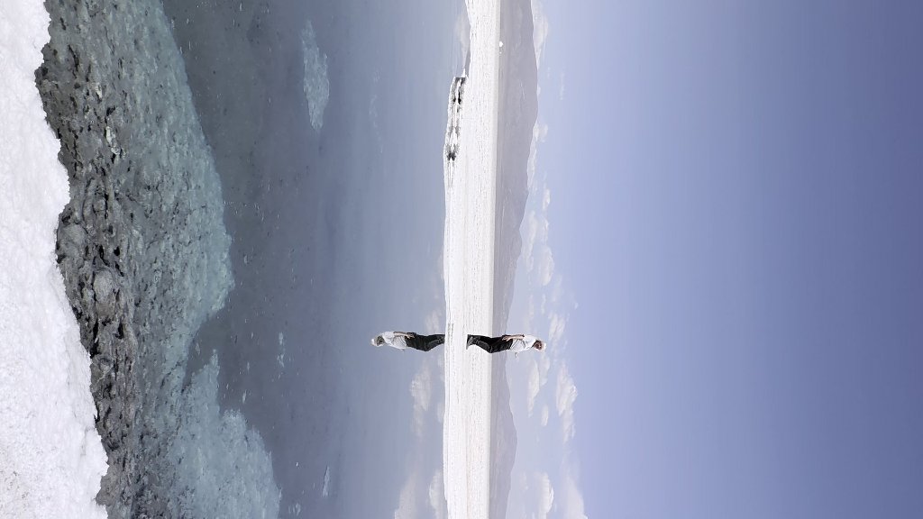
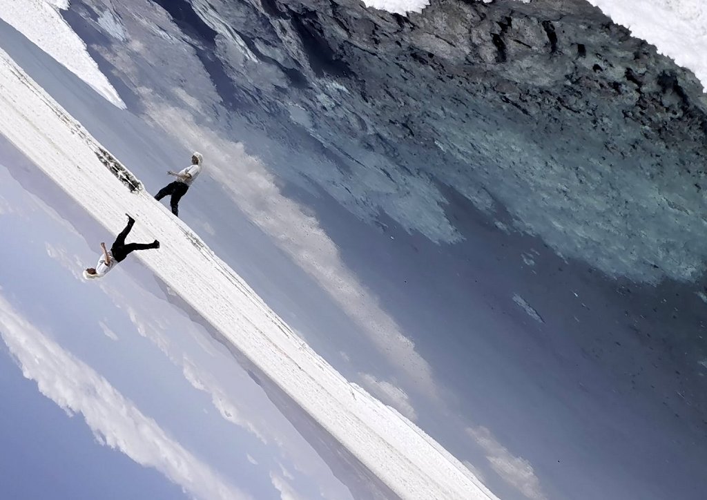
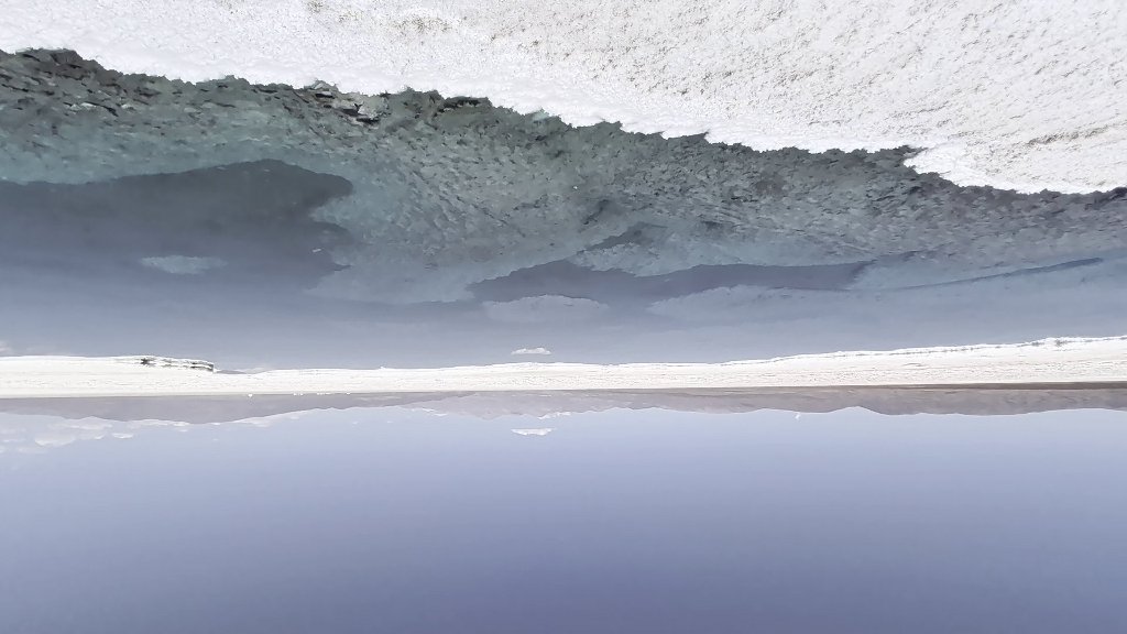
If there isn't too much wind, there lakes are flat and highly reflective.
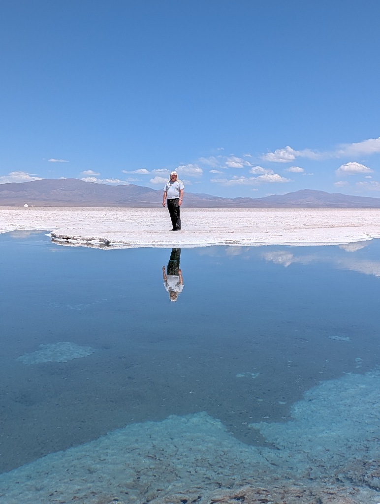
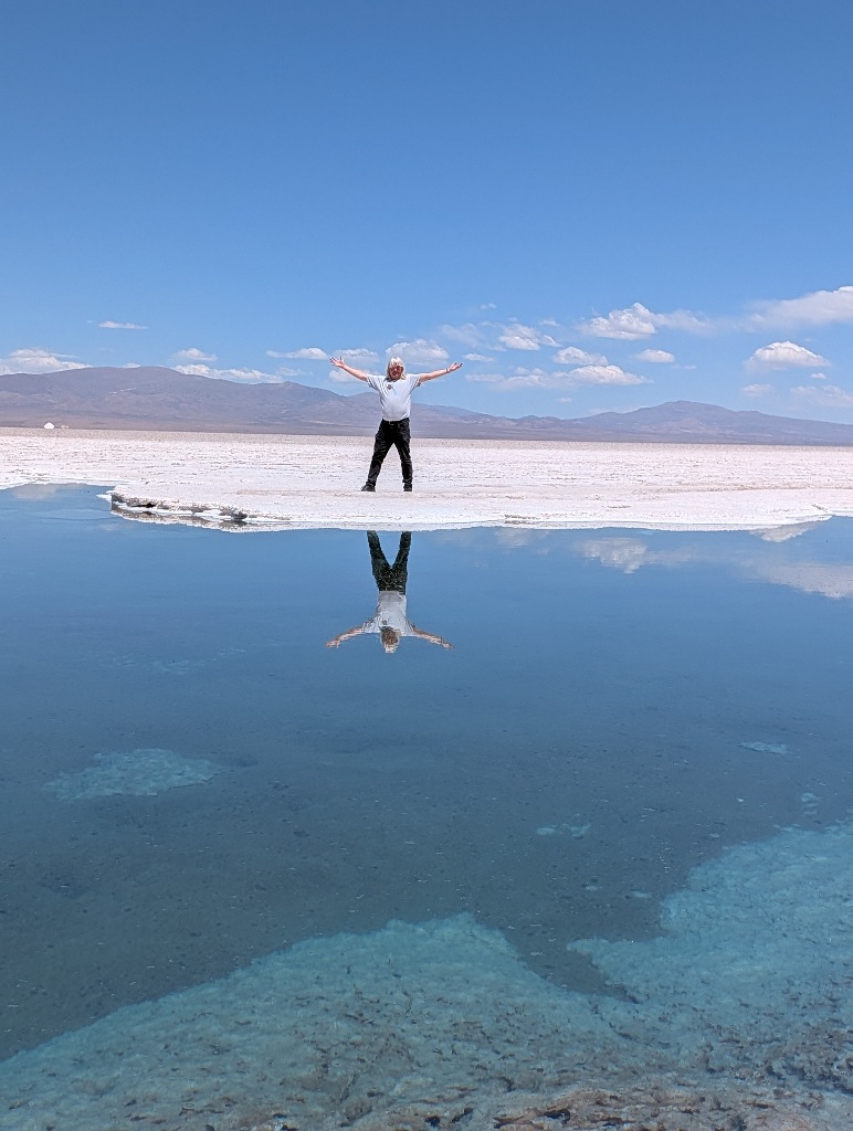
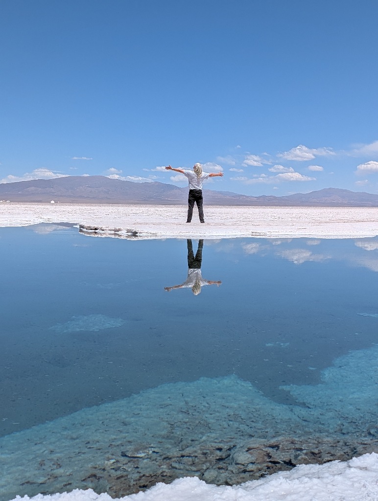
Which allows the guide to get creative with the ups and the downs of the photographs.
For most visitors, the salt flats are the highlight of their day trip. There are no permanent settlements nearby (the next inhabited places are Purmamarca and Susques, each more than 60 km away), so people don't stay at Salinas Grandes overnight.
Except...
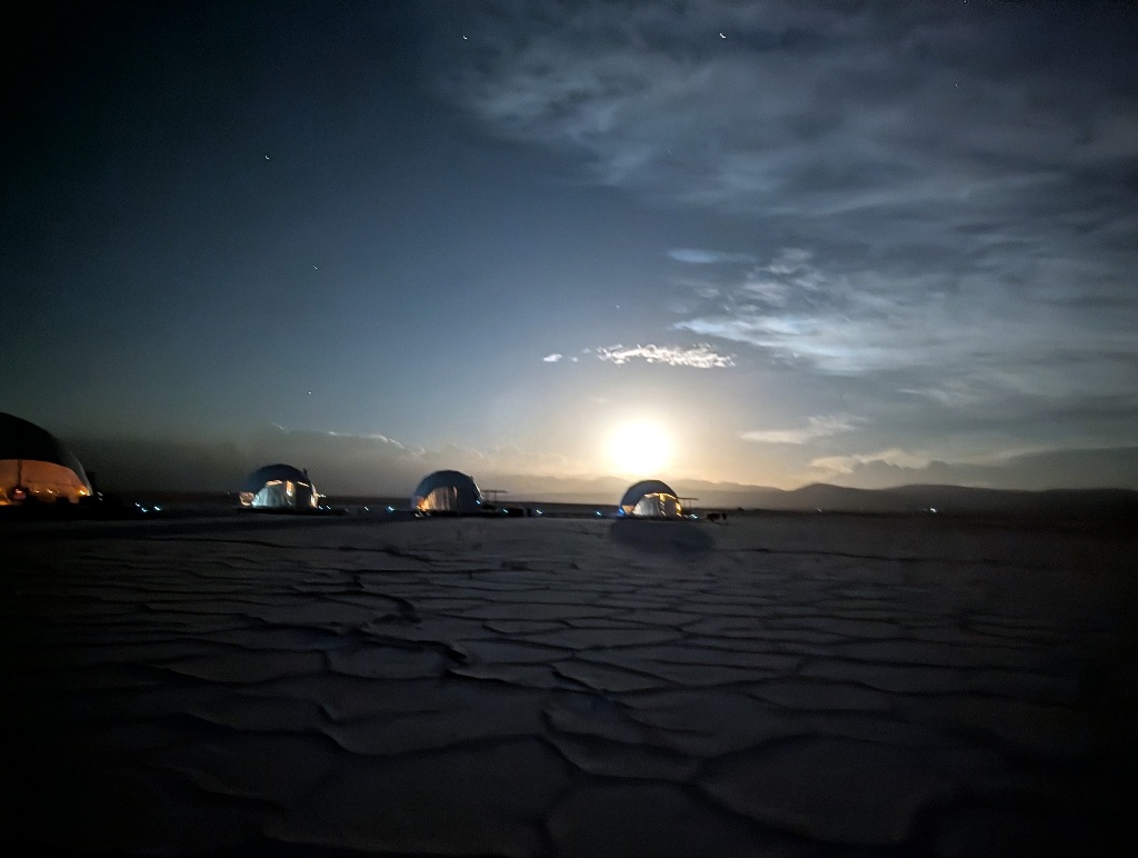
...there is one accommodation option on the flats itself.
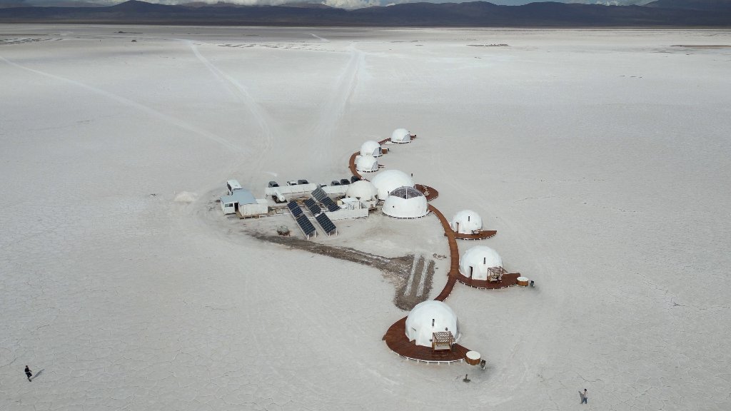
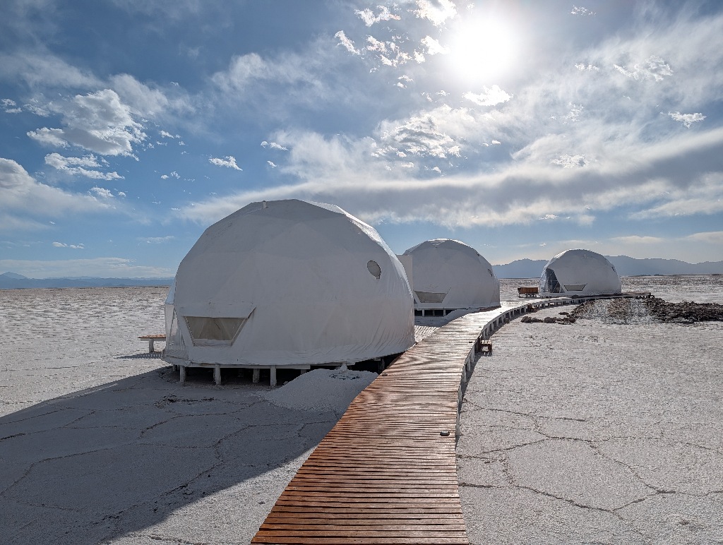
A somewhat futuristic looking complex of six 'bubble tents'
And that was where I was going to spend the night.
Getting there wasn't straightforward.
You can't drive to the place unsupervised, so there's a meeting point outside the salt flats. From there all guests drive in a convoy to the overnight site.
The meeting point isn't the place from where all the regular tours across the salt start (and from where I had taken a tour earlier that day), but a church in the middle of nowhere.
While the regular tours all start off the main road (which is paved), the church at Tres Morros is eight kilometers down a sand and gravel side road.
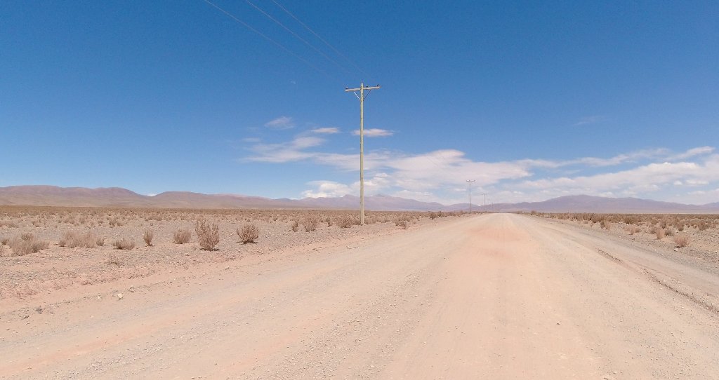
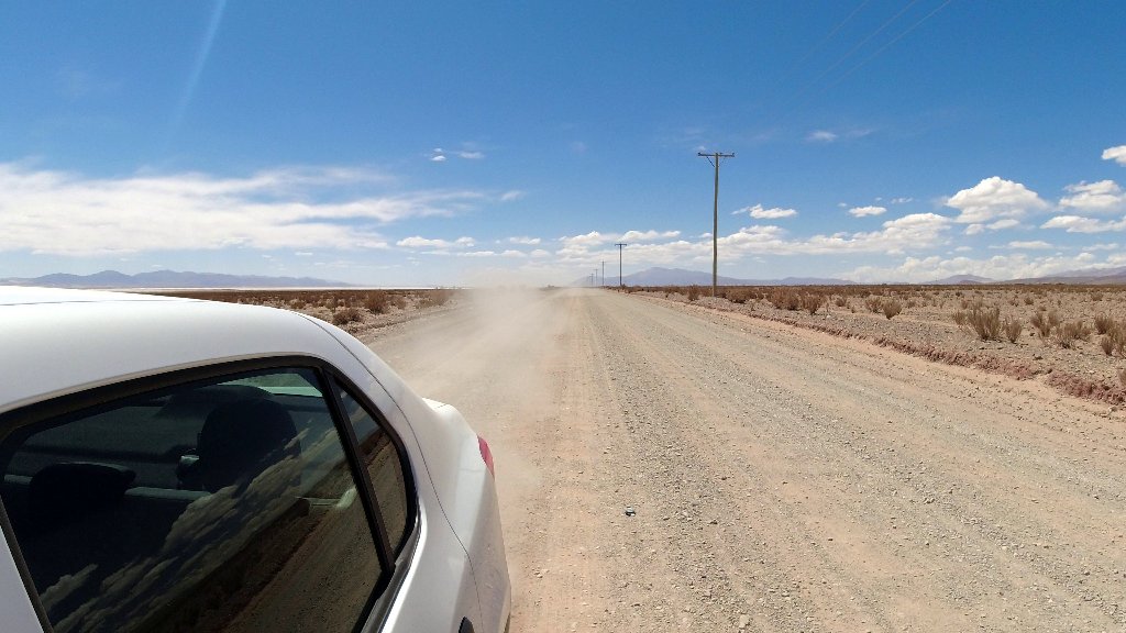
The road actually isn't that bad. It is straight and has a mostly even surface.
I was, however, driving this a bit nervously as there was no other traffic on that road, so if something went wrong, I assumed I would be stuck there for some time. Especially as the road was marked on the map from the car rental agency as "you should not drive there". (Although I assume that this referred to driving down the road to San Antonio de los Cobres, the next town in this direction, about 95 km away. And not to the short bit to Tres Morros.)
I got to the church without problems, but at one point, I could see the reason for advising against driving there with this car.
At one section, there was a stretch of sand on the road. It was only maybe ten meters long, but if you stop there for some reason, it will be difficult to get going again without a lot of shovelling or somebody pulling you out. I pressed the clutch and rolled over it without breaking or accelerating, so the car rolled over the sand without any problems. But it was obvious why it's not recommended to drive there with a two-wheel drive car. Even more so if the car doesn't have that much ground clearance.
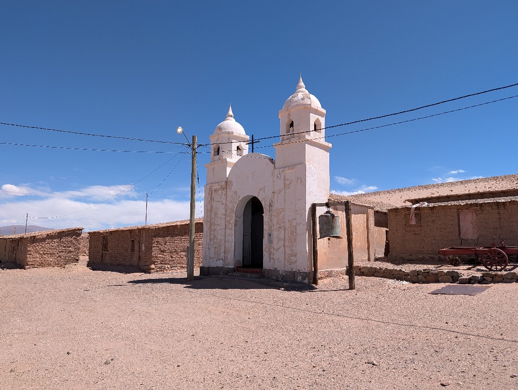
The little church was standing next to some abandoned houses and an old graveyard.
It felt like a strange meeting place.
Essentially it is the kind of place used in crime stories. An abandoned place in the middle of nowhere, where the bad guy organizes the meeting with someone, which doesn't end well for one of them. And the next scene shows a couple of police cars at the spot, with the police gathering clues and providing exposition.
Nothing bad happened, of course. And at the scheduled time, someone from the 'tent camp' showed up. And I followed his car to the accommodation.
It was a bit irritating that we went back almost all the way to the main road (including crossing the 'sand trap'). The side track towards the salt flat started about a kilometer away from the main road.
I have no idea why they have the meeting point at the church instead of having it either at the parking place for the day tours or at the junction where the gravel road forks off the paved road. Both would be more convenient than driving eight kilometers down a track and then about seven kilometers back again. Though, on the other hand, why not?
Following the guide car and driving about 11 km across the salt, I reached the place where I would be staying overnight.
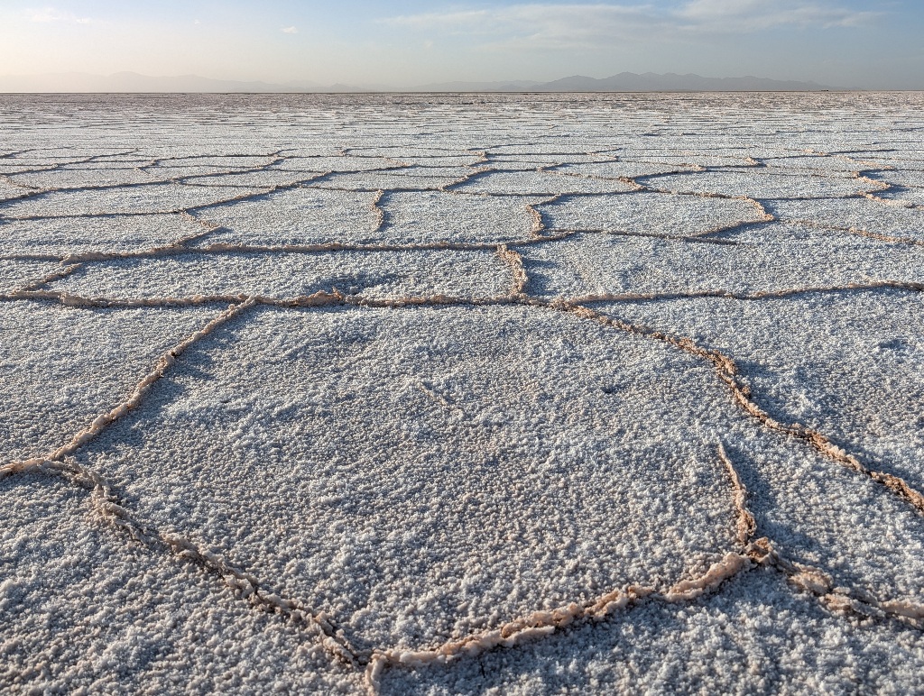
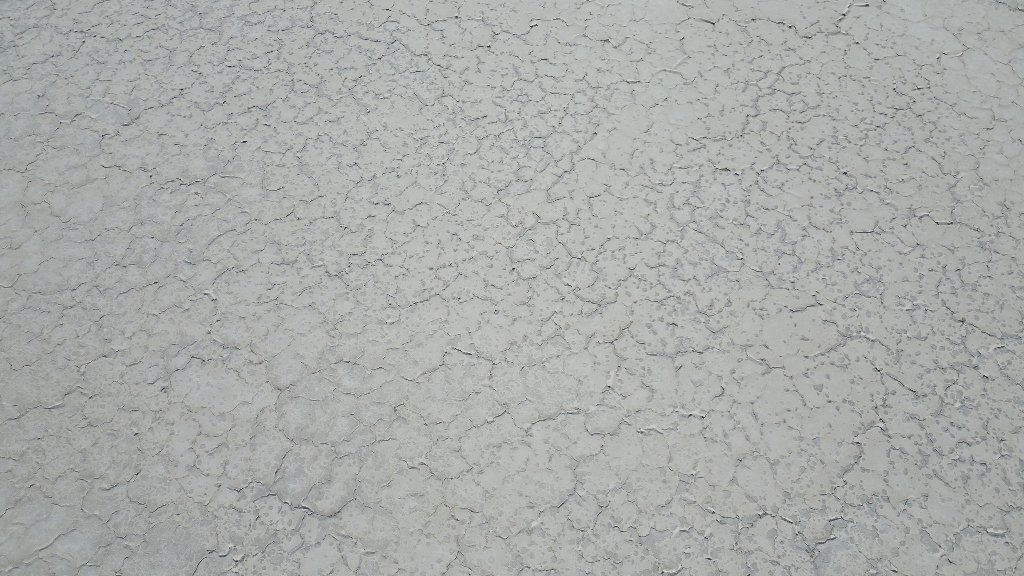
As there is a wet season, the surface of the salt lake sometimes get wet and dries up again, so the surface is not one big continous white area, but full of tessellations, like a dried up mud river bed.
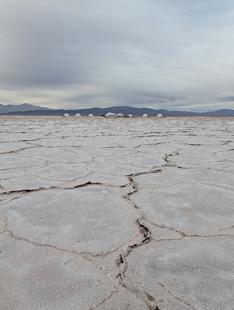
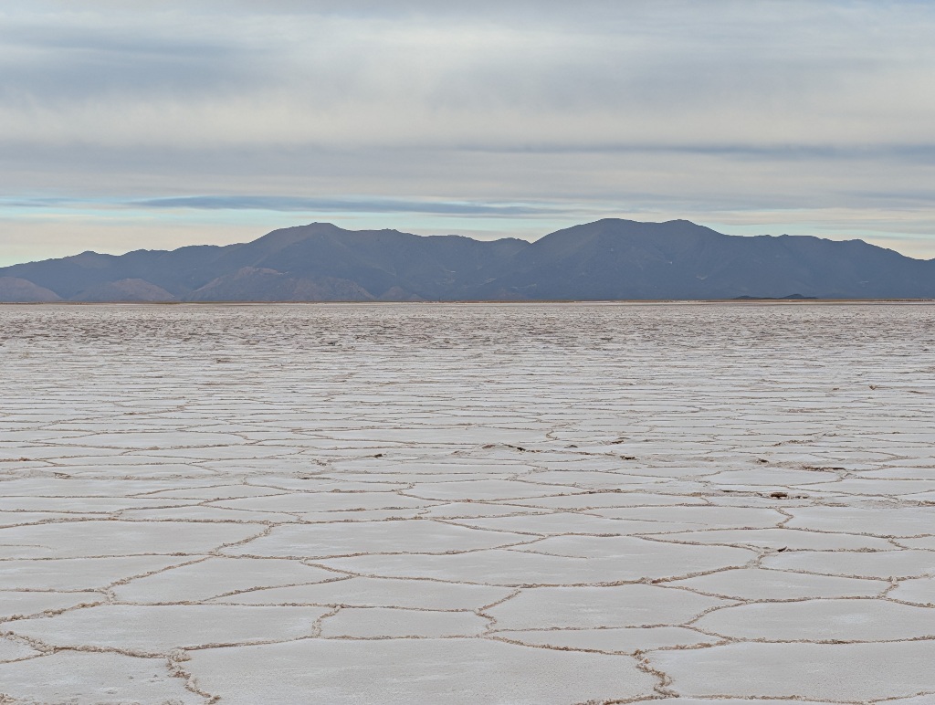
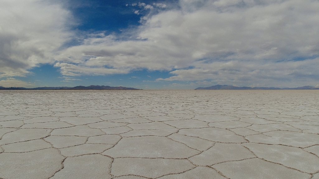
To my consternation, this results in a pattern that is unexpectedly close to the colour scheme of a small drone.
I had flown my drone over the salt flat to get some better overview pictures (since the salt lake is flat, there's no vantage point for a better view). Then I had landed the drone a few meters in front of me, switched the controller off and put it away. And then didn't see the drone. It took a moment to spot it.
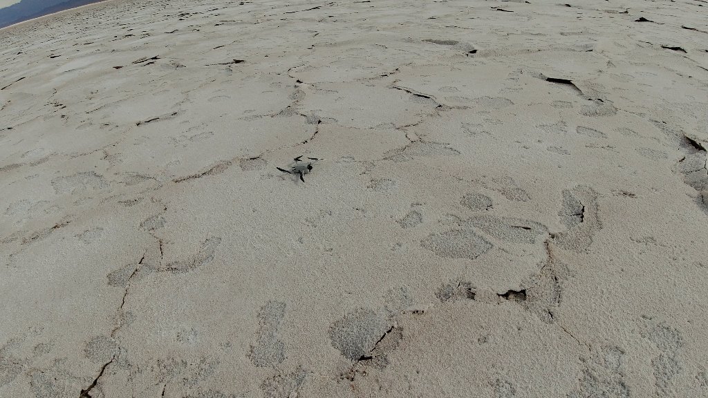
It's easy to see in the image, of course, as it is in the center of it. But the image gives an idea how much the drone represented a camouflage colour and pattern in that environment.
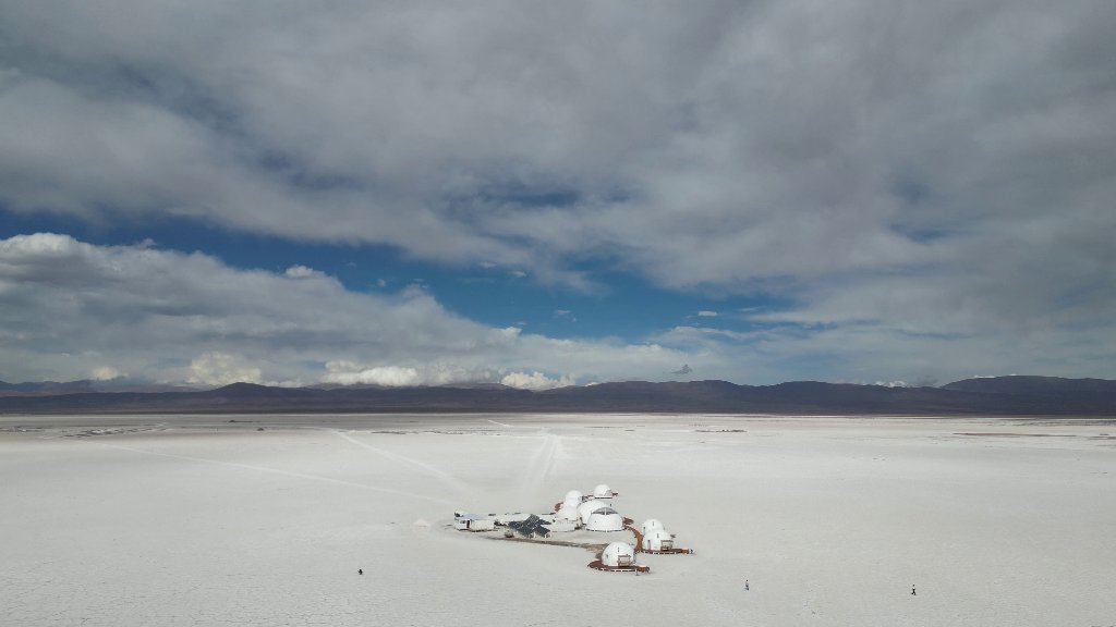
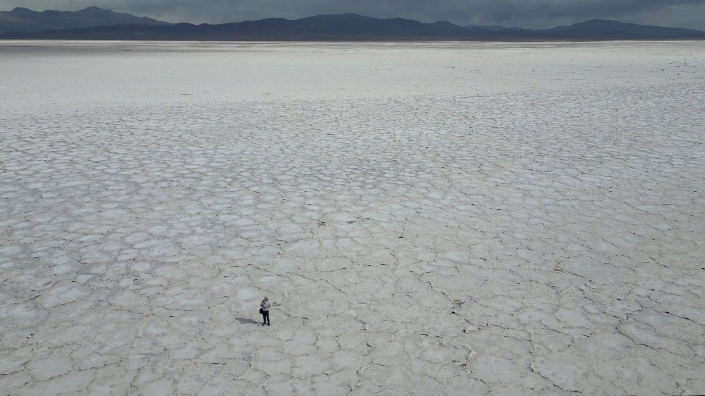
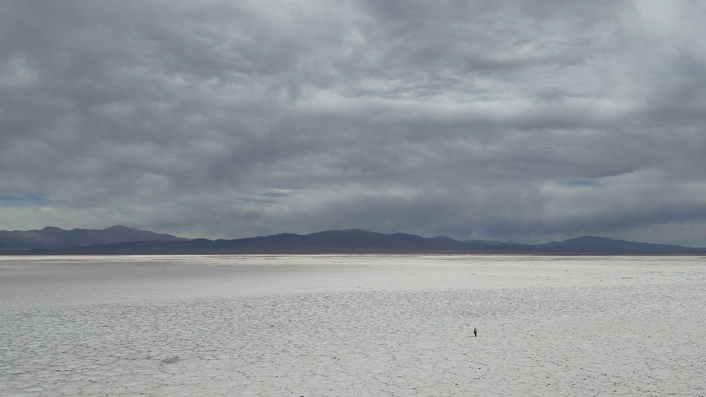
The environment reminded me a lot of the sea ice in northern Greenland.

Though it was a lot warmer here in Argentina.
The night on the salt lake was interesting.
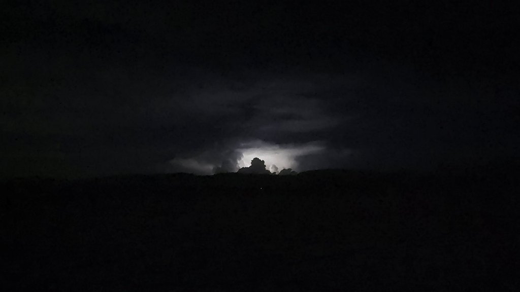
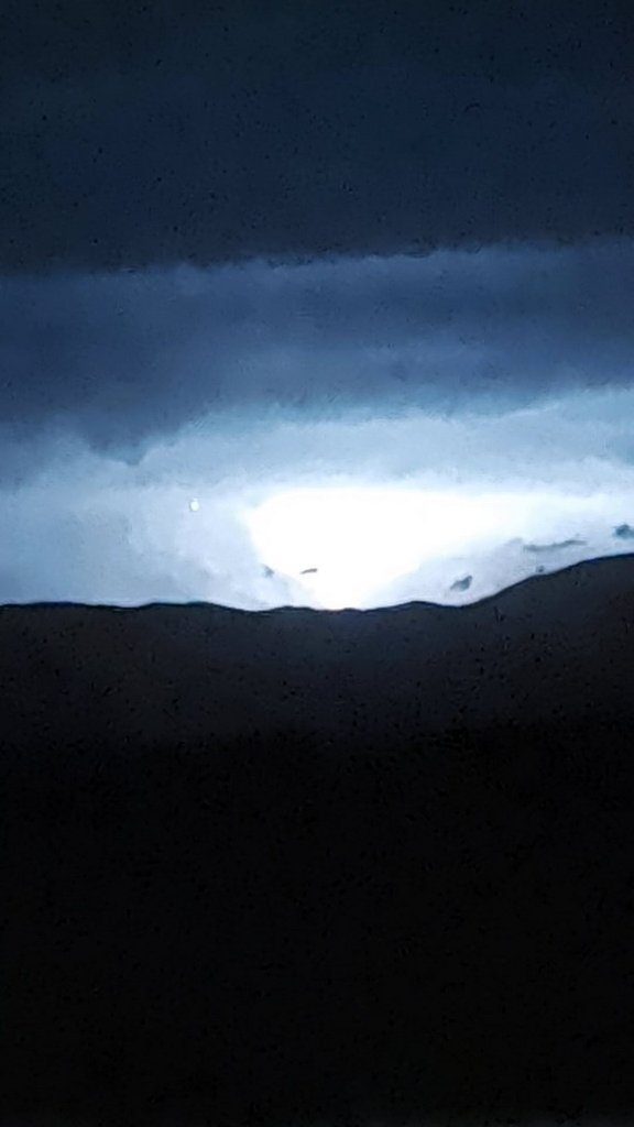
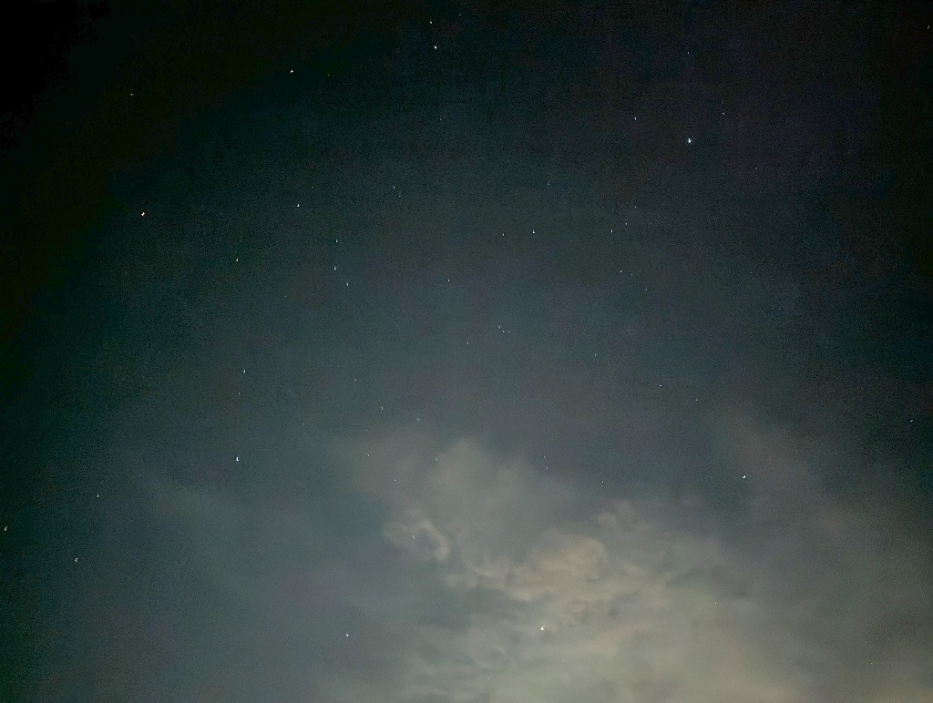
There was a massive thunderstorm over the mountains around the lake, lasting for hours, while the sky over the lake was clear. With lightning after lightning lighting up the mountains around, looking upwards I could see the stars and the light cloud cover on the edges of the lake illuminated by the full moon.
I left Salinas Grandes behind the next morning, went over the mountain pass again and headed to Humahuaca, which is a bit north of Purmamarca, where I had been staying previously.
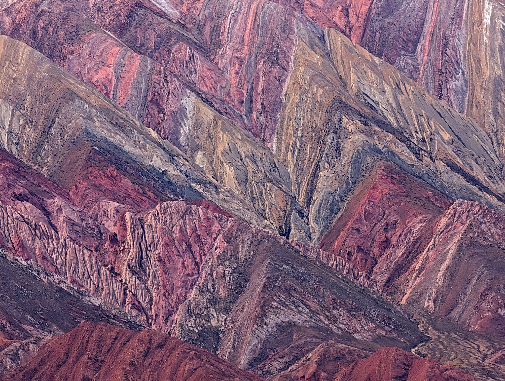
While Purmamarca is known for its "Hill of Seven Colors", Humahuaca, not to be upstaged, has the "Cerro de los 14 Colores" ("Hill of Fourteen Colors") at a place called Hornocal.
Once again, the number of colours is mostly arbitrary, but the place does look impressive.
The viewpoint is about 25 km along a gravel road out of town from Humahuaca.
While the road is in good condition, not bumpy, with proper guardrails at the sides and for most of its distance, following an uphill slope in serpentines with flat areas on the sides (instead of running along a mountainside with sharp drop at one side), I hadn't known that in advance. Playing it safe, I took a 'remise', which is like a taxi, but with a fixed price.
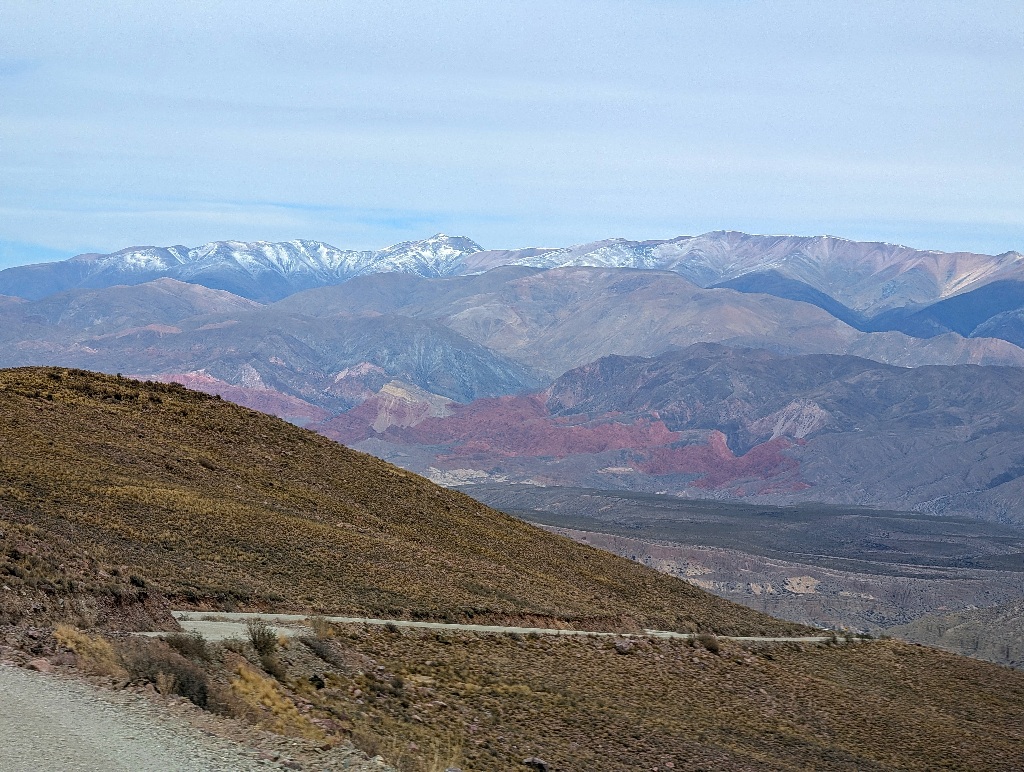
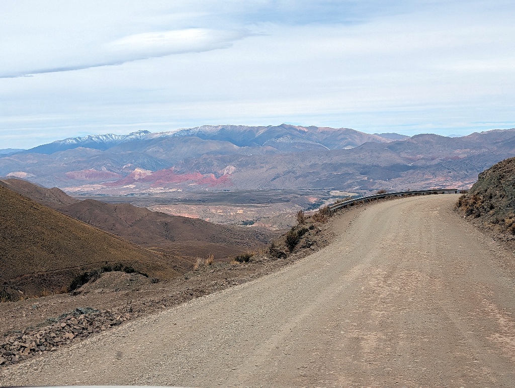
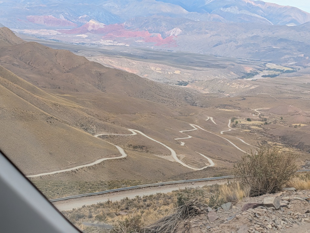
That took me up to the parking lot from which there was a 500 meter walk, a bit down a hill, to the point with the best view.
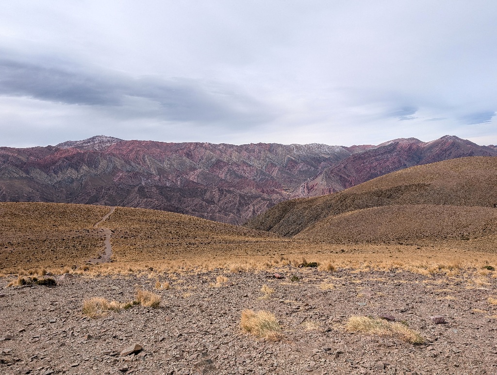
Without a doubt, the view was worth getting there.
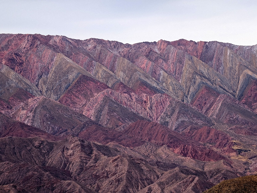
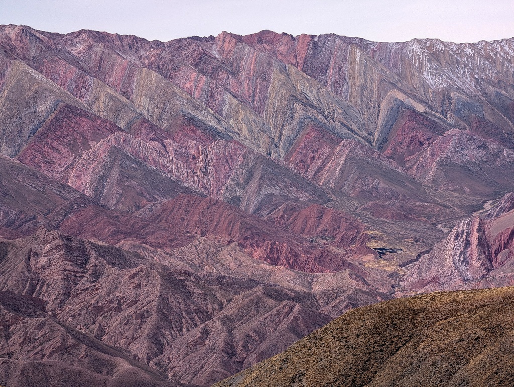
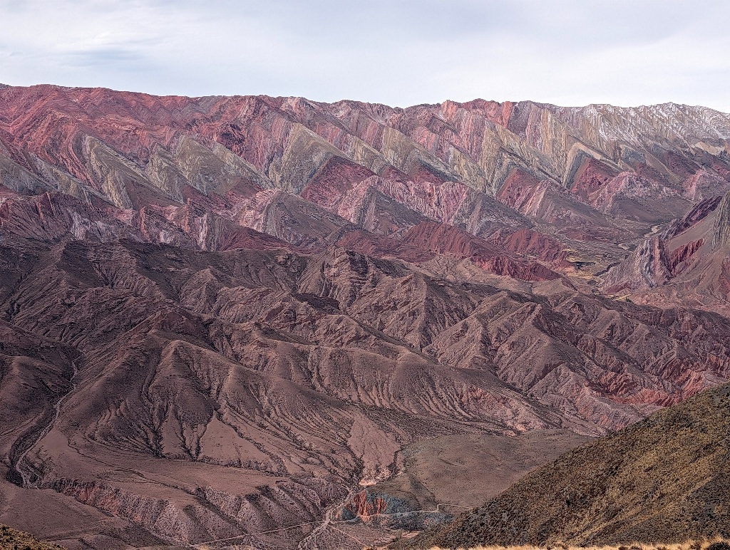
In some ways, it looked less like a mountain range than a colour sample for it.
Sometimes, outside of companies that sell building materials, there are a sample boards of roofing tiles, which are composed of shingles in different colours, so that customers see how a roof made from these tiles will look.
The idea is not to convince customers to install multicoloured roofs, but to help them pick one colour.
And that's what the mountains reminded me of.
The geology of the place saying "Look, there are many minerals in the local soil, allowing for all kinds of colours the mountains could have. Choose one."
Walking back to the parking lot left me more breathless than expected.
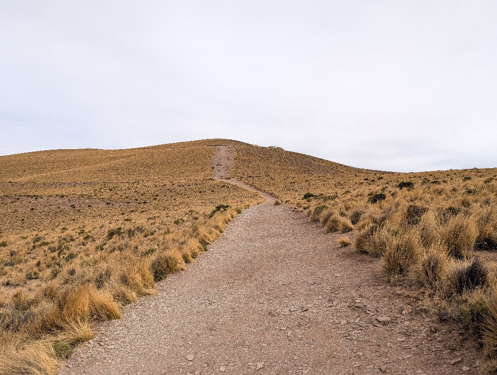
It's less than fifty meters upwards altitude difference between the viewpoint and the parking lot, but I had to stop a few times to catch my breath.
This sign might help explaining why (in addition to me being lazy, unfit and out of shape):
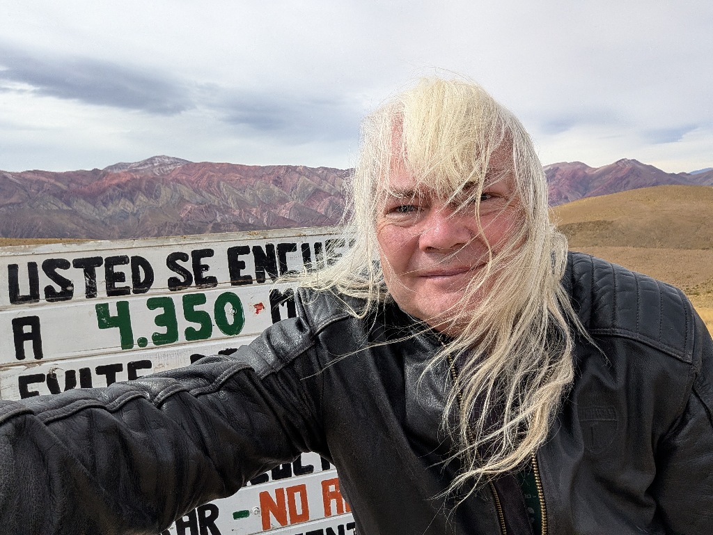
I was at an altitude of 4350 meters (the highest altitude I've ever been, topping the 4170 meters from the mountain pass on the previous day).
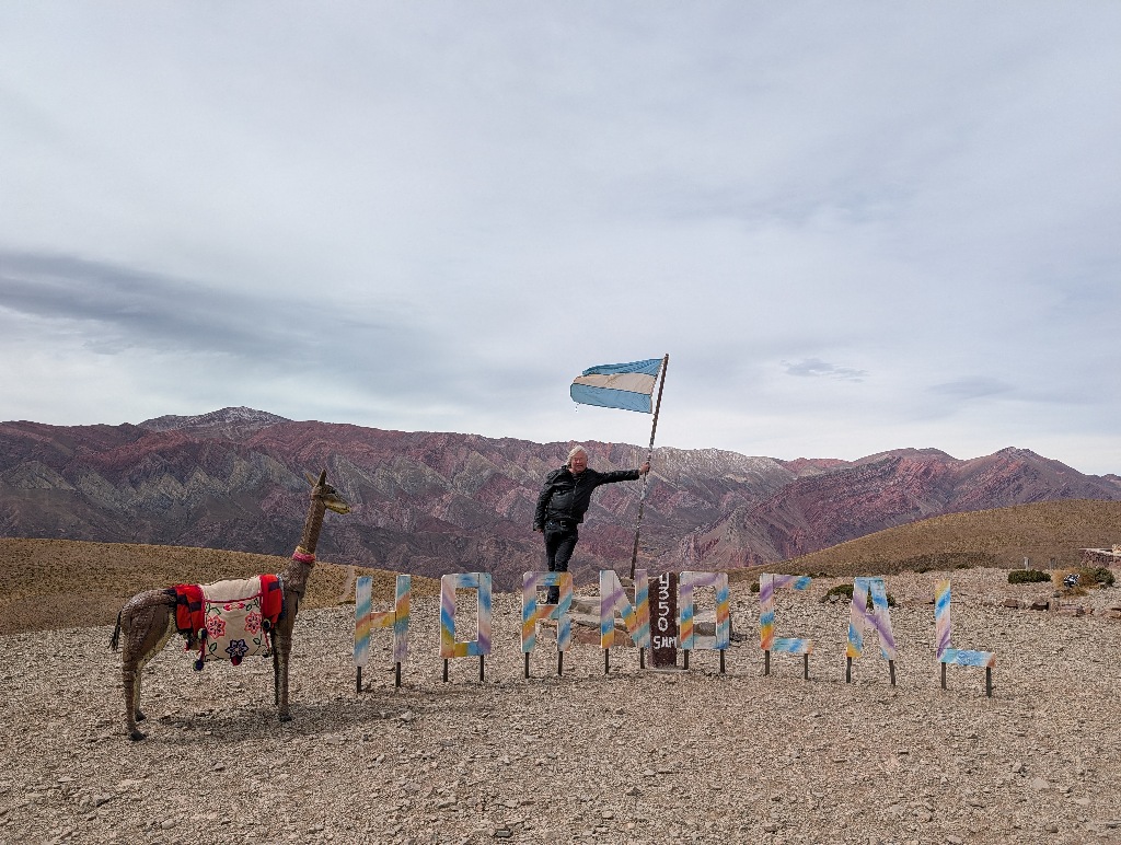
And, of course, there was a photospot with the place name in large letters nearby.
On the way back we passed an odd little square in Humahuaca, which had a concrete (or possibly wooden) statue on one side. And on the opposite side a terminator-style metal sculpture in front of a shrine.
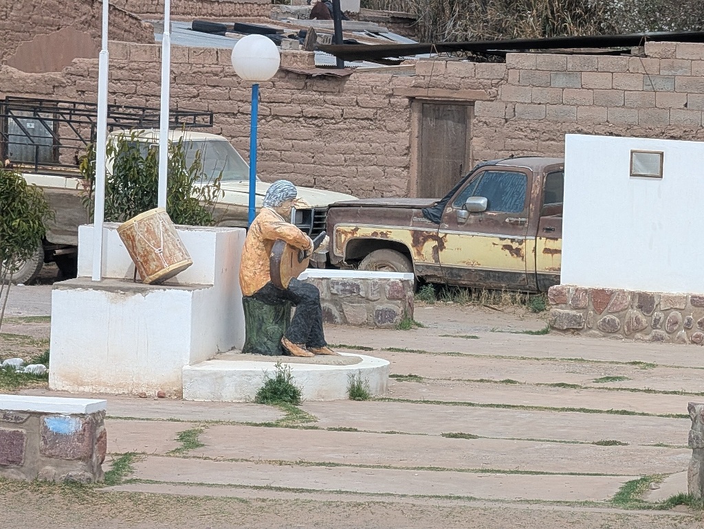
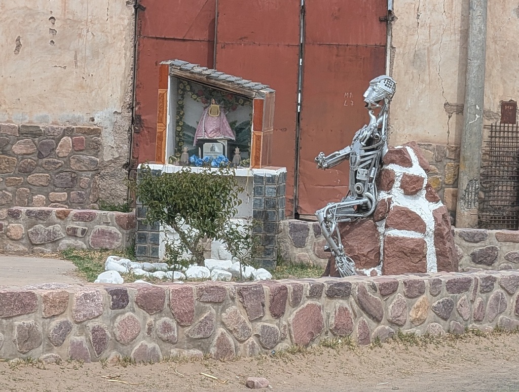
I haven't got the slightest idea what's the reason for and the meaning behind this. Although "None at all" might be a reasonable answer to both.
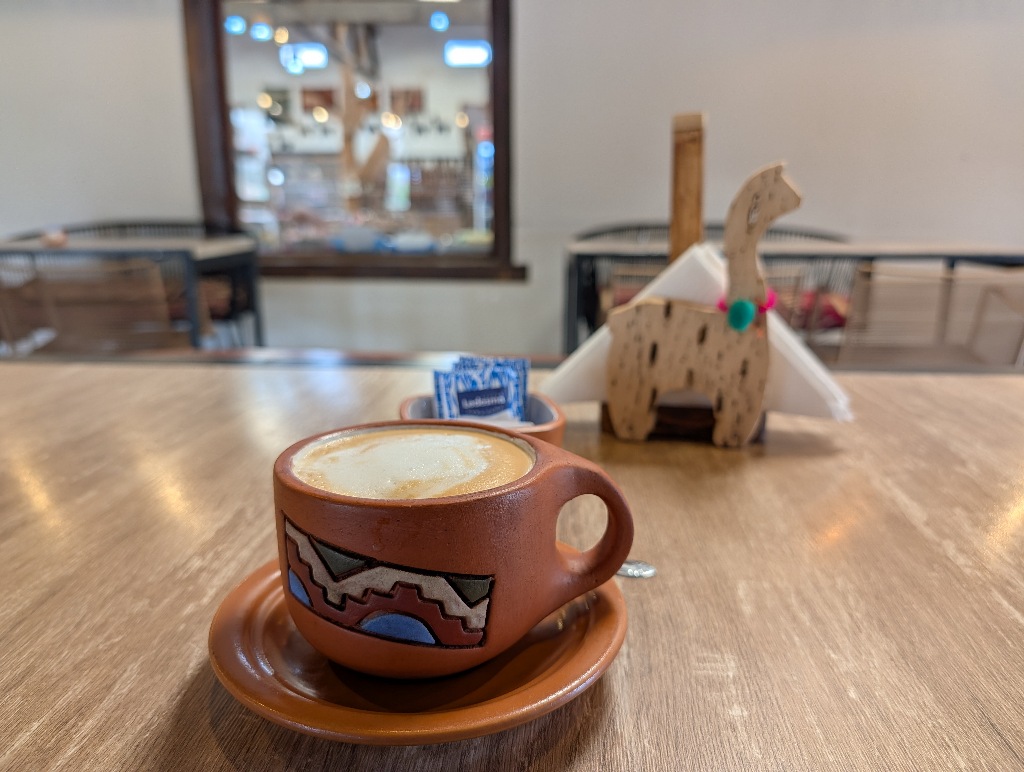
Slightly south of Humahuaca was another unusual statue, a giant llama.
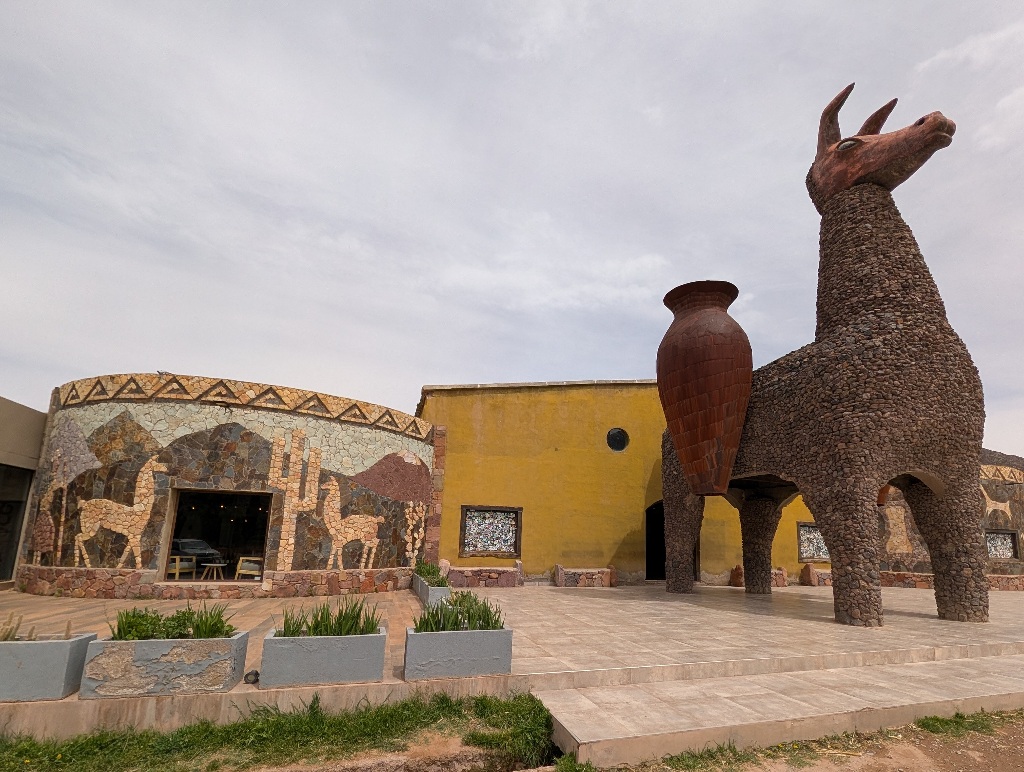
But that was there to attract customers to a shop and cafe by the side of the road, which might otherwise have gone unnoticed. (I didn't buy anything, but the coffee was good.)
A sculpture with a more obvious reason, which also helped me to understand something, was about 30 km south of Humahuaca, near a village called Huacalera.
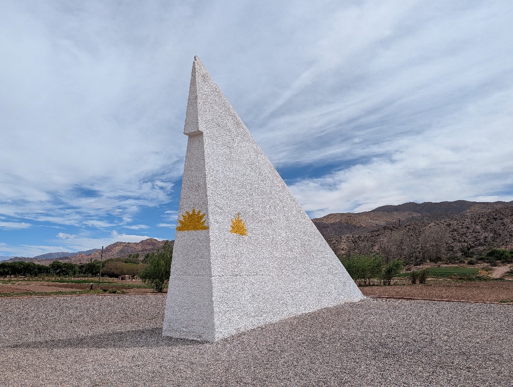
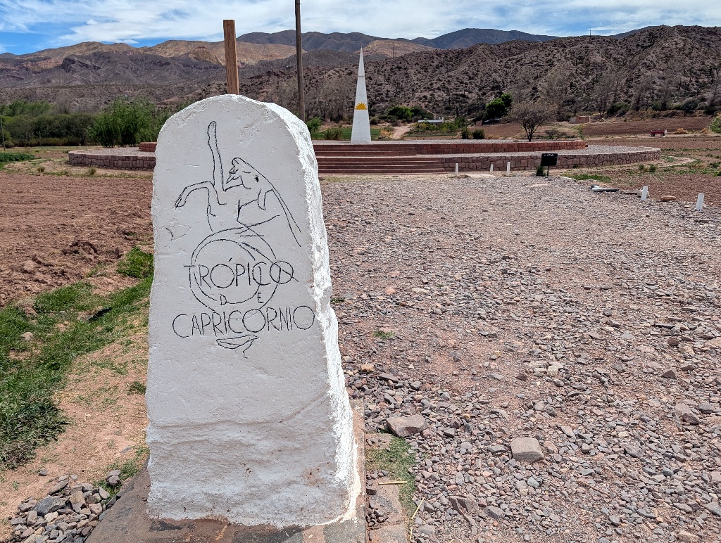
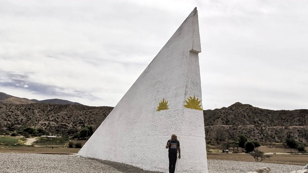
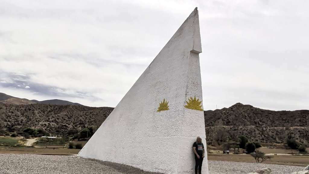
Supposedly representing a large sundial, it marks the Tropic of Capricorn.
 |
 |
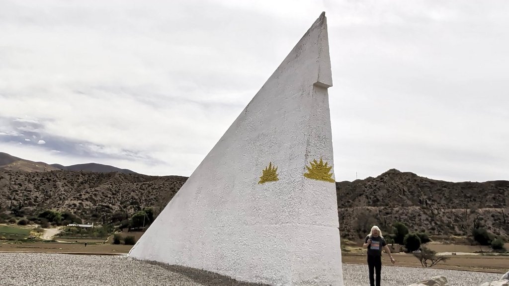 |
| Me in the subtropics | Undecided | Me in the Tropics |
It partly explained the temperature.
I had been surprised how warm it was (as I had expected, based on the altitude, an alpine climate). Given that I was in the Tropics (or, at places like Purmamarca or Salinas Grandes, only slightly outside of it), the temperatures fitted.
At the same latitude in the Northern Hemisphere, I would be in southern Libya or southern Egypt. Or in the middle of Mexico. I would be somewhat south of Dubai. And I hadn't expected (or experienced) cool temperatures when I visited that last year.
There is one more stop I did in the Tropics before driving south of the marker again and going back to the subtropics.
That was near a small village named Uquía.
What I was heading for was the "Quebrada de las Señoritas". Definitely a place that knew what colour it liked - red.
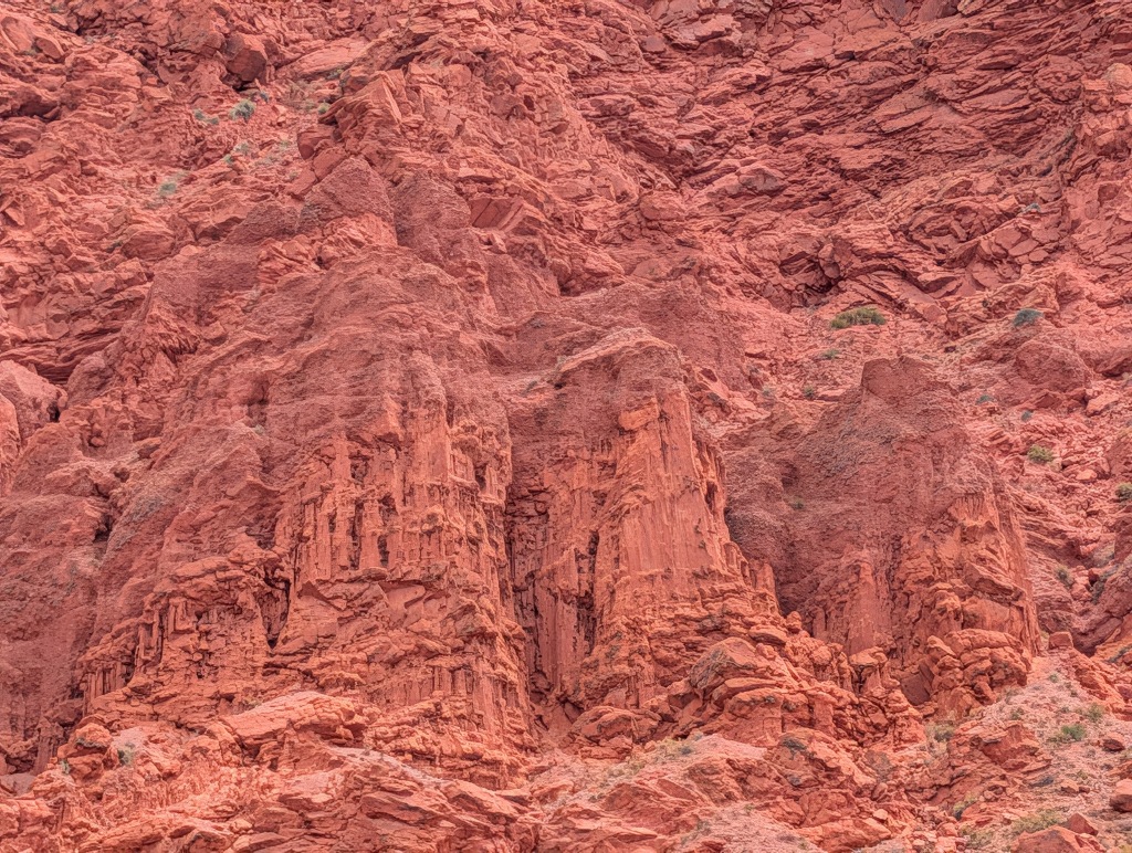
At least as far as geology went.
Biology added green spots as well.
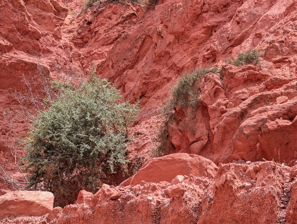
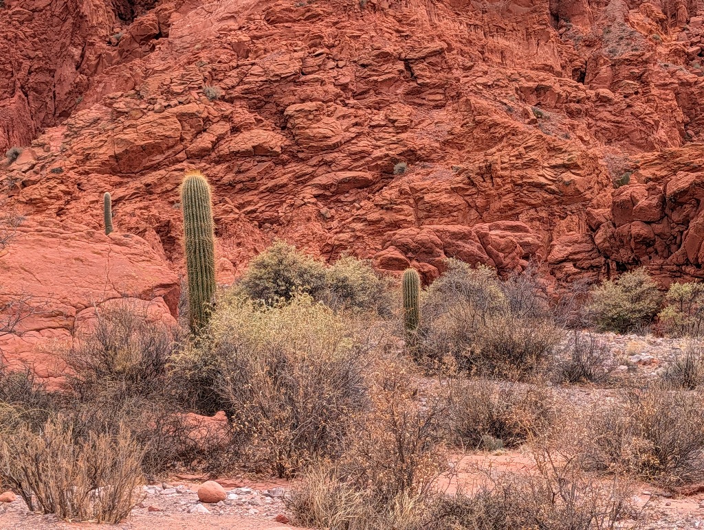
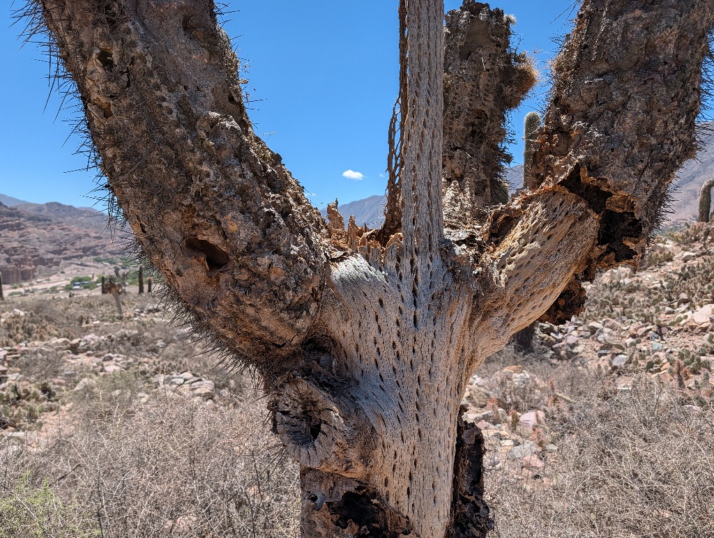
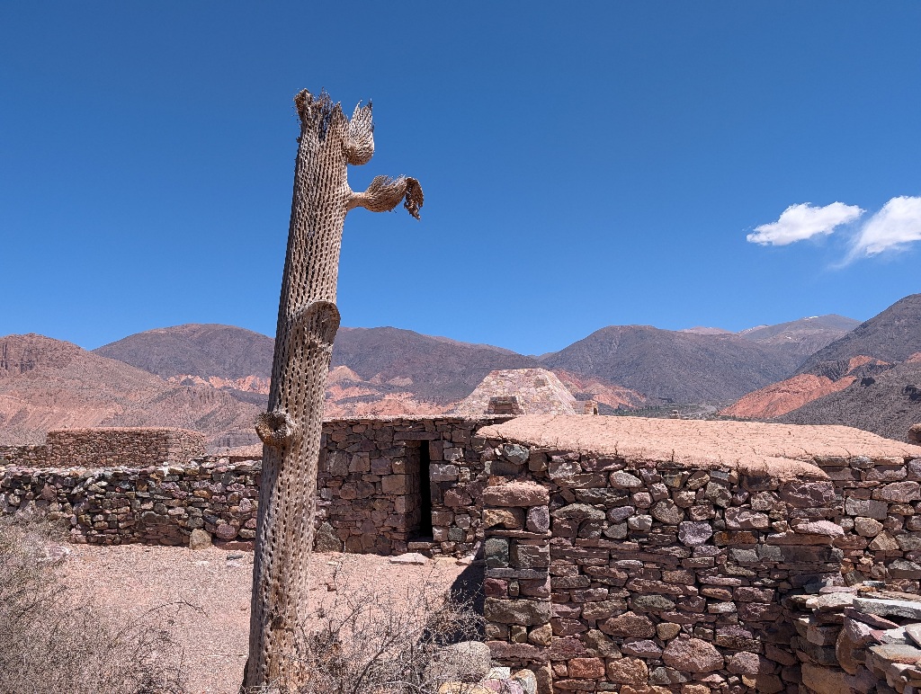
Along the way I learned that a cactus, at least a large one, isn't simply some soft stuff with a spiky exterior like a prickly pear. It has a kind of wooden tube in it, called the woody skeleton.
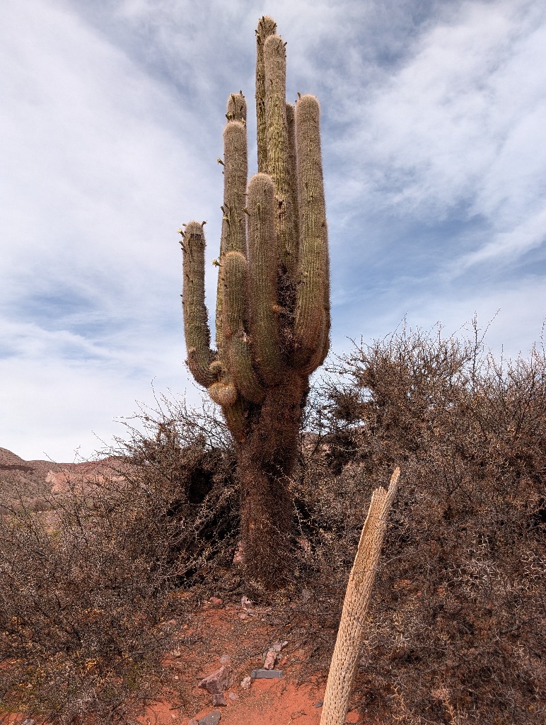
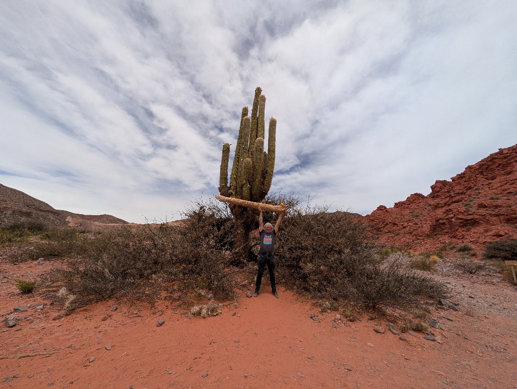
Which explains why you sometimes see a cactus that seems half-eaten or rotten away and is still standing.
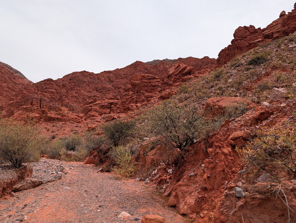
The first section of the path at Quebrada de las Señoritas is along the side of a red rock cliff.
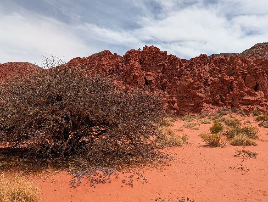
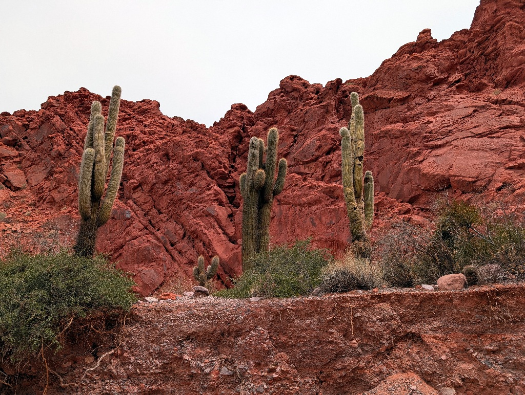
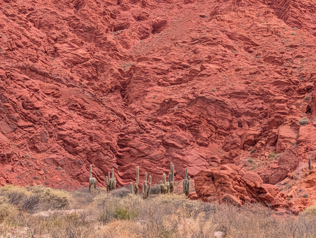
Along the way there's a rock formation called "The Inca".
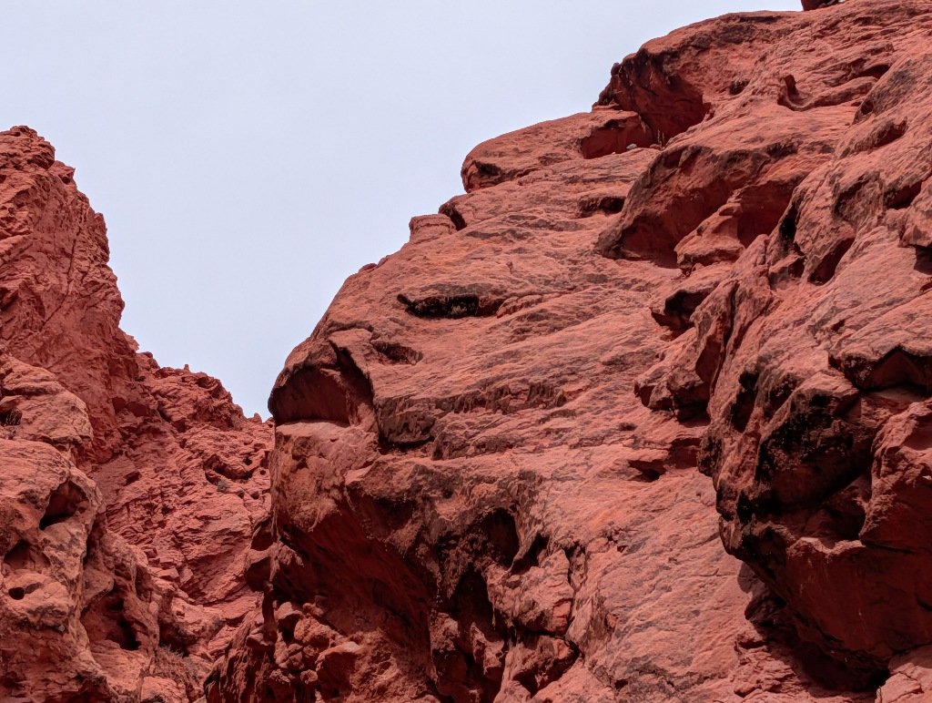
When I had my first look at it, I found it more than a little insulting.
What I did see looked more like a petrified version of the Creature from the Black Lagoon than an Inca. And calling this squashed, noseless face an Inca seemed inappropriate.
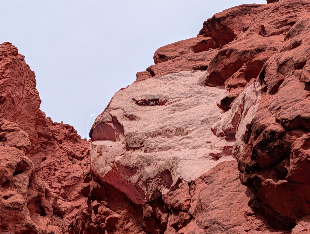
It took a moment to notice that I had misidentified the rock features that were supposed to resemble the mouth and the eyes.
But that's the problem with pareidolia. It's too easy to see a face in almost everything, if you try hard enough. Especially if you're told that it is supposed to look like one.
The 'Inca face' that visitors are supposed to see is this:
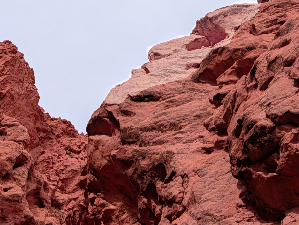
Which looks much more noble than what I had initially seen.
After a while the path turns towards the red rocks and becomes a gorge between two rock faces, ending in a natural cul-de-sac.
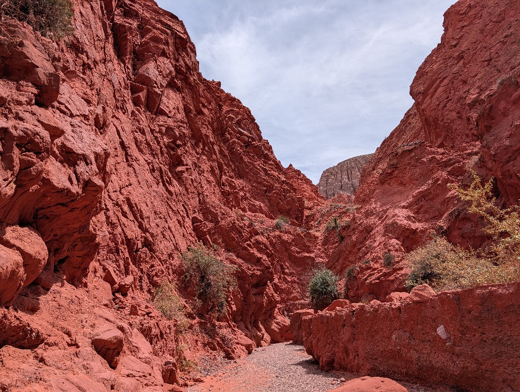
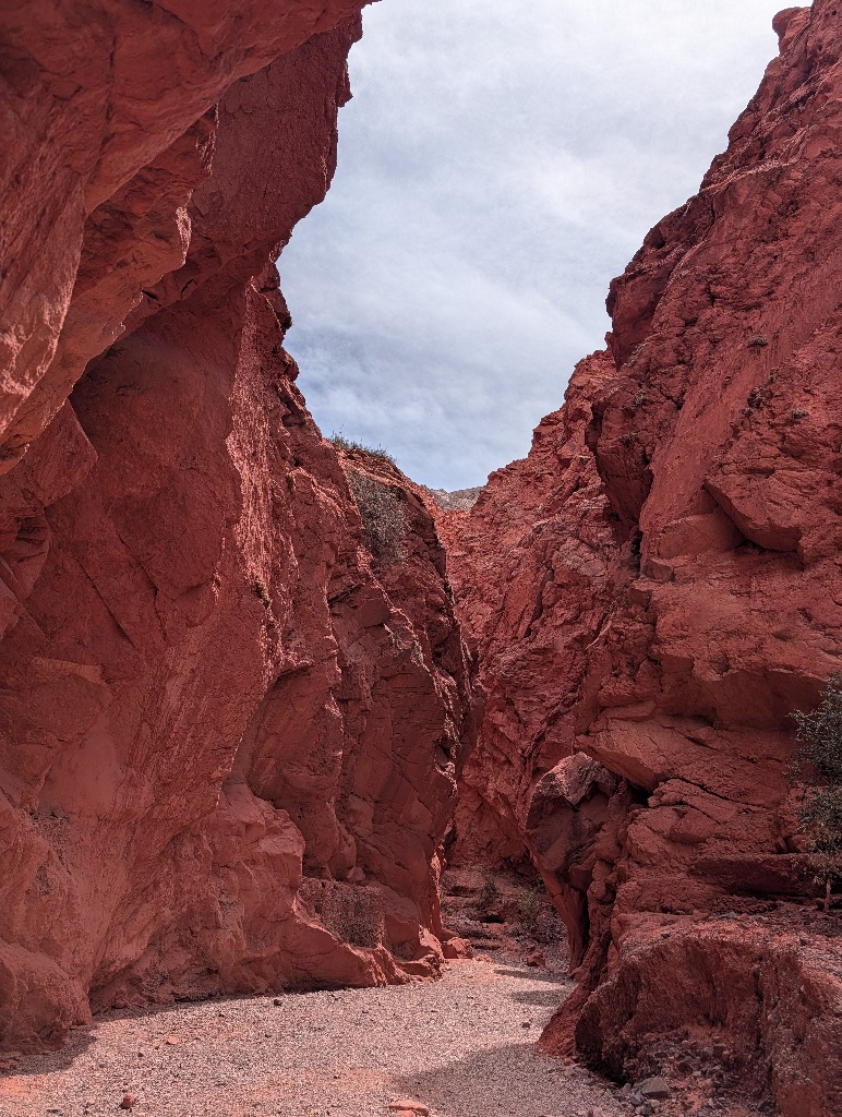
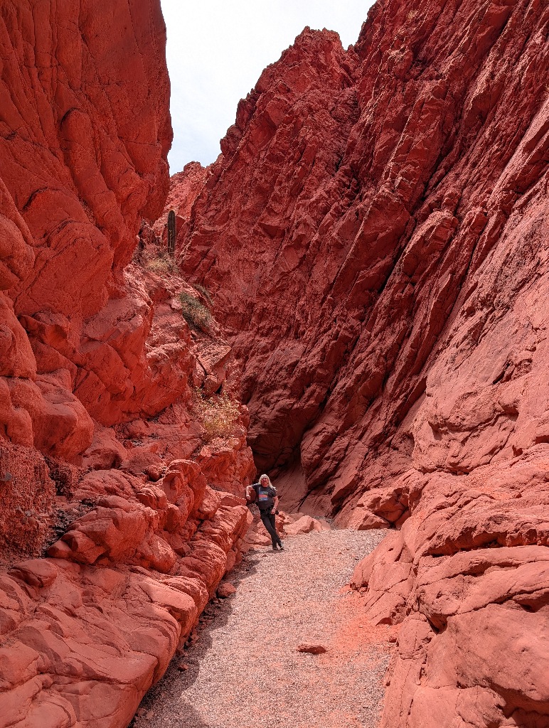
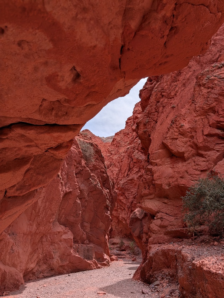
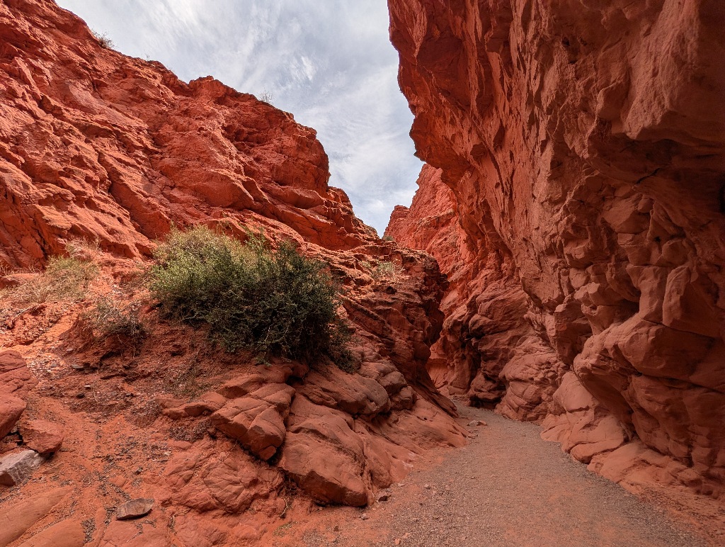
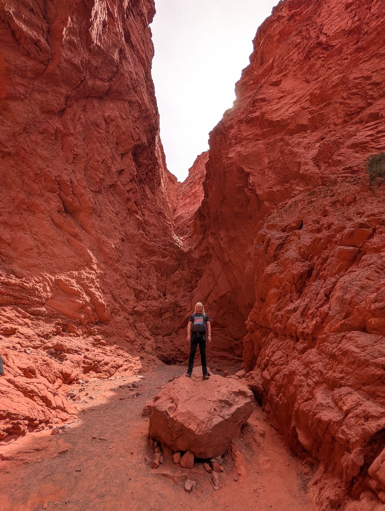
Like many of the attractions in the area, this is unexpectedly popular.
It's not one of the 'big name' attractions and Quebrada de las Señoritas comes across more as an 'if you have nothing else to do, this might be worth a look' attraction than, for example, the "Hill of Seven Colors".
That might have something to do with where the day tour busses go.
But even locally it's not that well advertised.
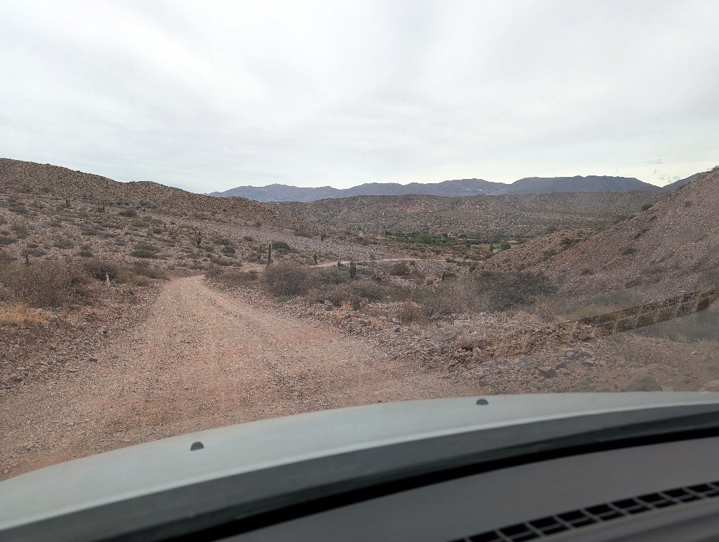
At the main road through Uquia, the RN9, there is no sign pointing towards Quebrada de las Señoritas. There's only a sign about an old church in town. And while the road to it is ok (and only a kilometer long), it's not paved, obvious to find or signposted. (Although Uquia is small enough that you can't really miss it.)
At the entrance of the attraction itself, however, there's a large parking spot that's almost full.
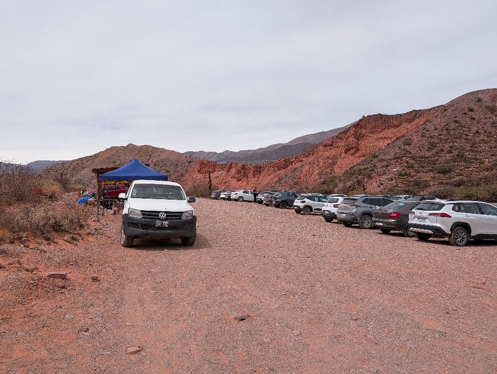
There's a lot more tourist traffic in that area than it seems.
My destination for the next morning was the Garganta del Diablo near Tilcara.
The attractions are a small gorge (the Garganta del Diablo, which doesn't mean Giant Devil, but the Devil's Throat) and a walk to a nearby waterfall.
Similar to Hornocal, the "Hill of Fourteen Colors" it is a bit out of town along a gravel road.
And again, I decided not to risk my rental car, but hire a 'remise' (fixed price taxi) again.
Probably a good idea.
While it first seemed like a stupid idea, as the car that was taking me up there turned out to be a Renault Logan. So it was the same car that I had available. Except for the fact that, if something went wrong, I wouldn't have to explain that to the rental company. (On the road up to Hornocal, the car was the standard 4x4 pickup - a Toyota Hilux.)
Once we were on the road, I was glad that I wasn't driving.
Unlike the road to Hornocal, which is mostly along a wide uphill slope, this road had all the hallmarks of roads you see on "most dangerous roads" TV shows.
Gravel surface, hardly any space to let an upcoming car pass, no visibility at the corners, massive drops at the sides, no guardrails and bits of the road broken away.
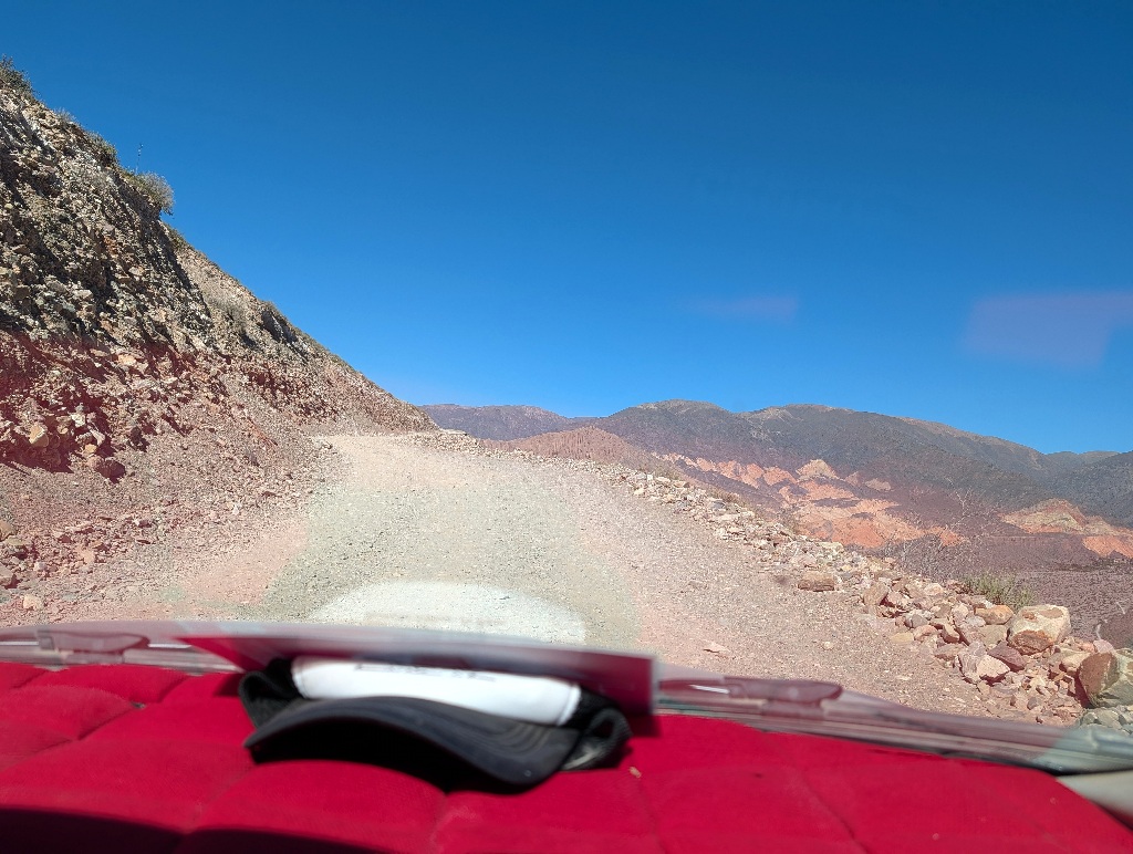
Not the kind of road I wanted to drive on. (And didn't. At least not until the next day.)
Having a driver with more experience with this road take care of that was presumably sensible.
And the walk between the canyon walls towards the waterfall was pleasant.
Blue skies, warm, but with bits of shade and a cooling stream nearby.
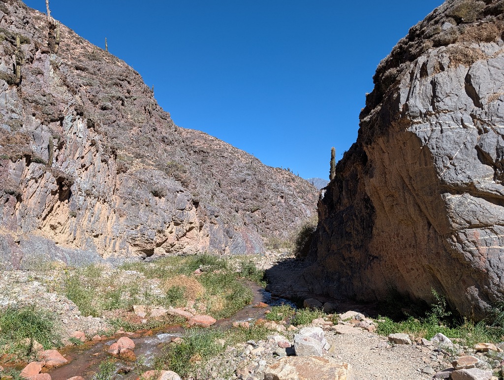
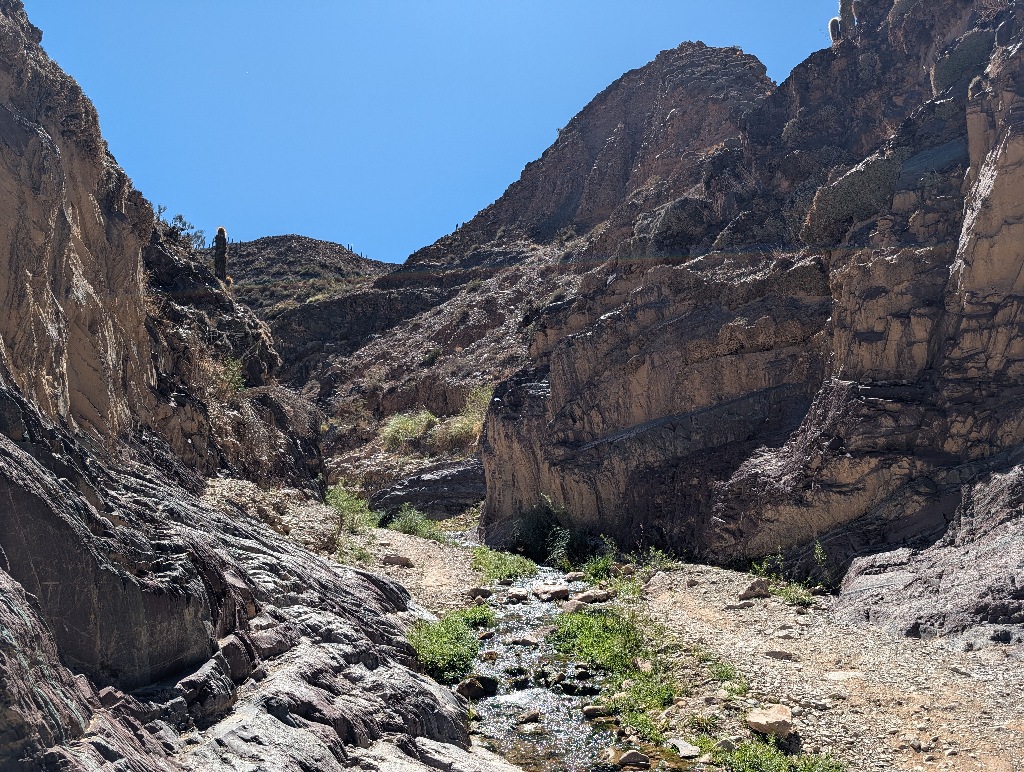
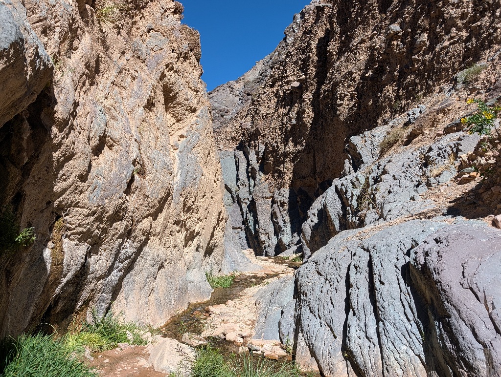
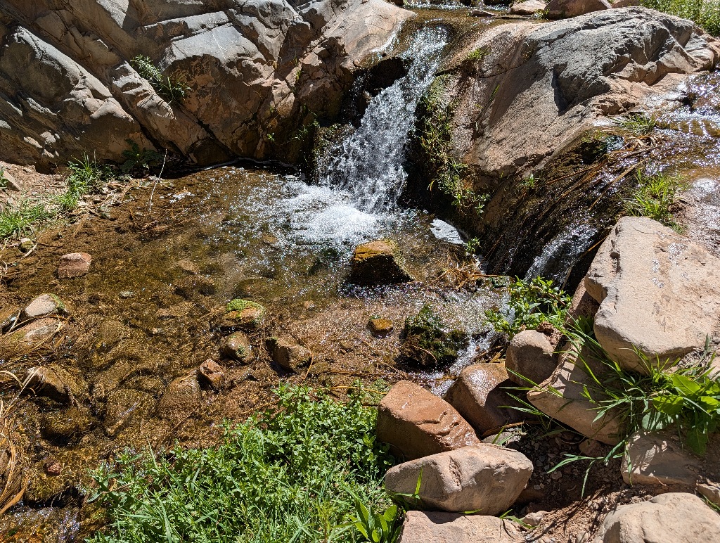
While there were enough people at the waterfall that I had to wait my turn until I could take a picture with the waterfall, it wasn't a huge crowd. And the area along the way was large enough that you sometimes met people, but it didn't feel crowded.
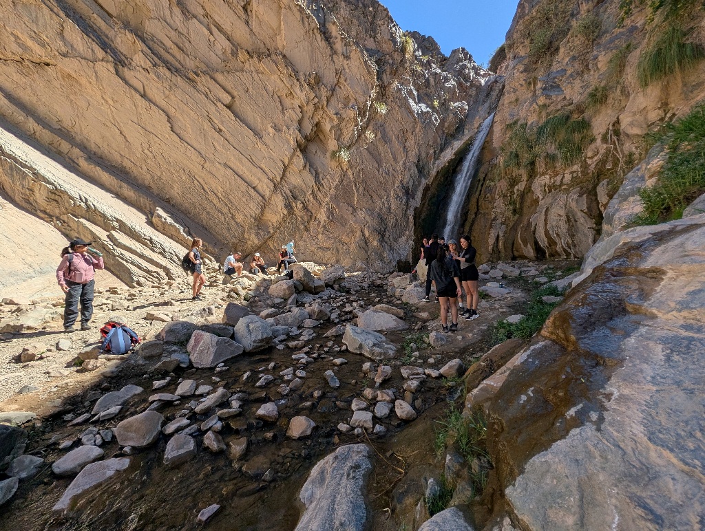
Having other people at the waterfall also means that it's easy to find someone who takes a picture of you. Even though the place didn't have its name spelled out on site in large letters.
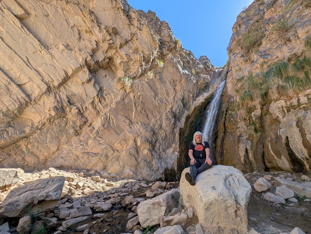
Although the waterfall does look better without me spoiling the view.
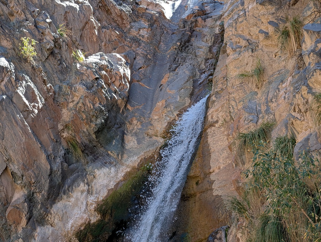
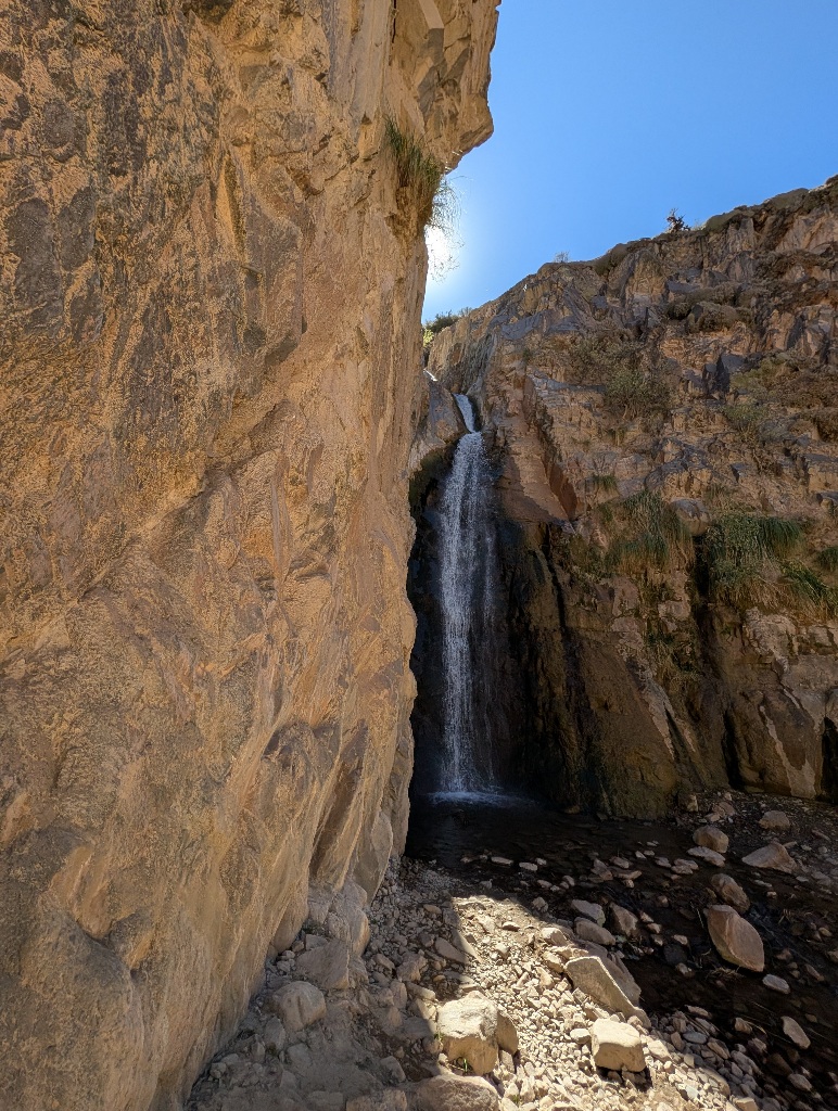
The tight part of the gorge, which gave the place its name, is short, maybe a hundred meters or so.
There's a small path on the side of it, but there isn't that much to see. It's more an add-on to the waterfall walk than an attraction itself.
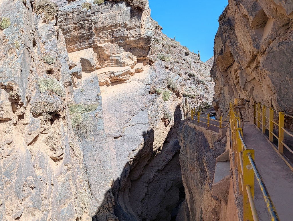
While it's another uphill walk from the gorge up to the parking lot, it didn't leave me as breathless as at Hornocal. But here I was only at about 2800 meters, so I was about 1.5 km lower than I was there.
After the taxi driver brought me safely back to Tilcara, I went to see some new ruins.
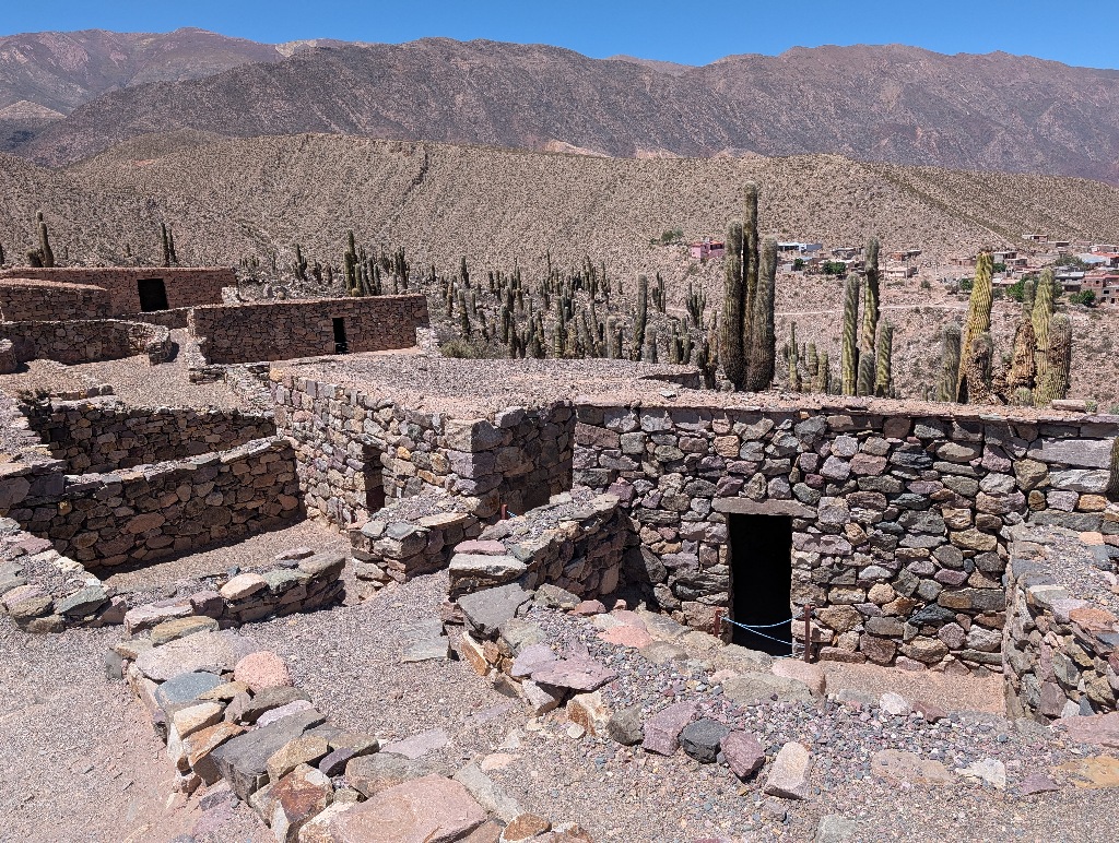
The Pucará de Tilcara is an ancient fortification on a hill outside Tilcara.
Or, more likely, the modern interpretation of it.
Around the year 1500, about 2000 people lived on the hill. But then it was abandoned and people founded the town of Tilcara nearby.
Then there was nothing for about four centuries, when excavations at the historical site started.
So far, so good.
But it's difficult to say how much of what is there now has been repaired (where most of the walls were still standing and only the roofs needed to be replaced), what has been rebuild (where it was still obvious where the walls were and most of the rocks were still there), what has been reconstructed (where some evidence, like artefacts or recognizable shapes on the ground, indicated that a building was there, even though there was little to none of the building left) and what has been reimagined (where all that was available to go by was a vague impression that this might have been a good place for a building).
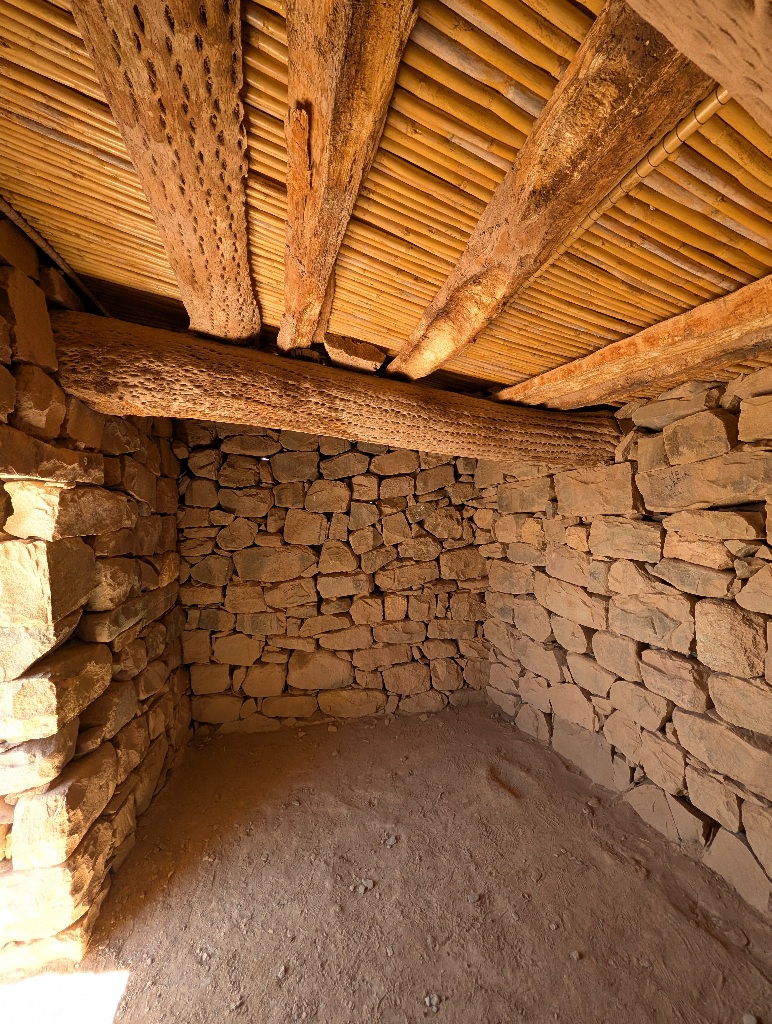
I didn't find clear info on this, but I found comments by other archaeologists that "approaches to site interpretation today ... rely far less on recreating missing elements", which seems to me a polite version of saying that a lot of what's there today was made up.
One sign that local archaeologists played fast and loose with the site is this pyramid.
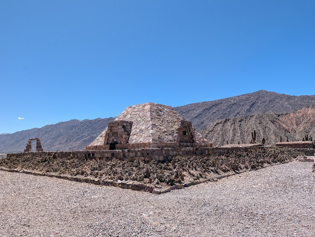
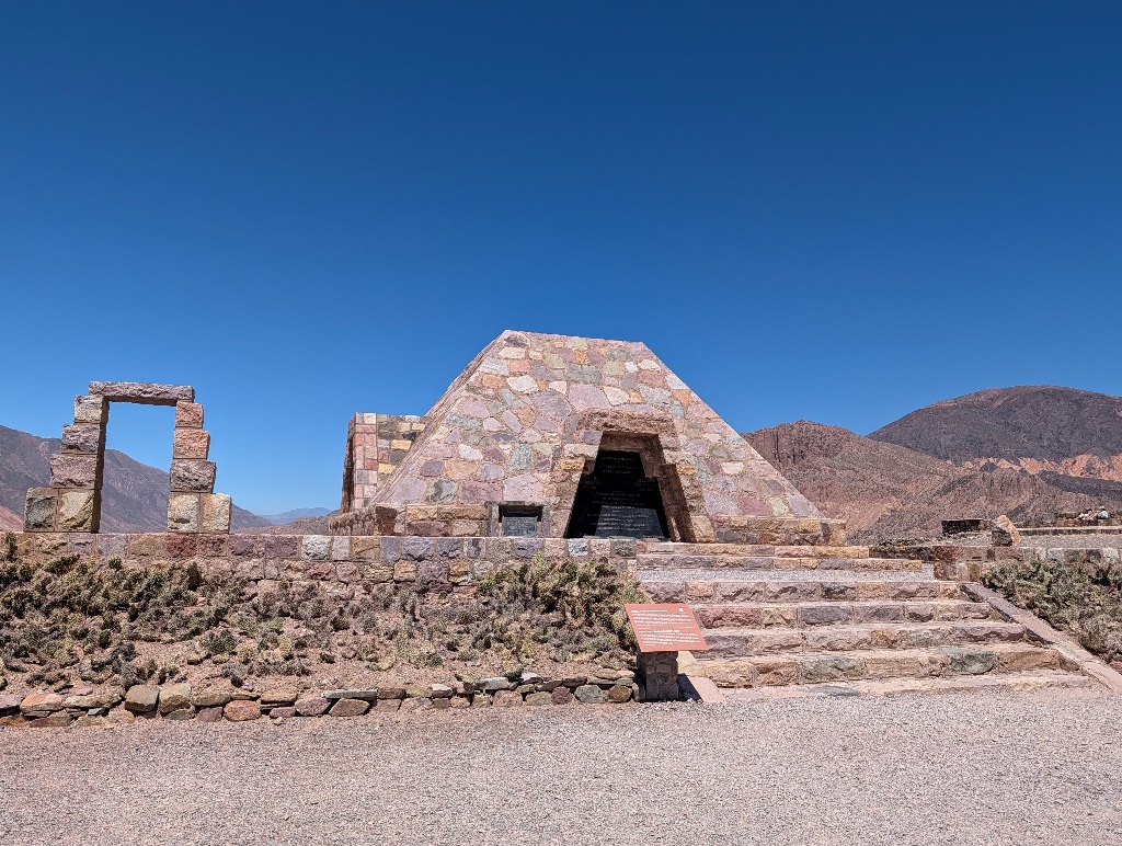
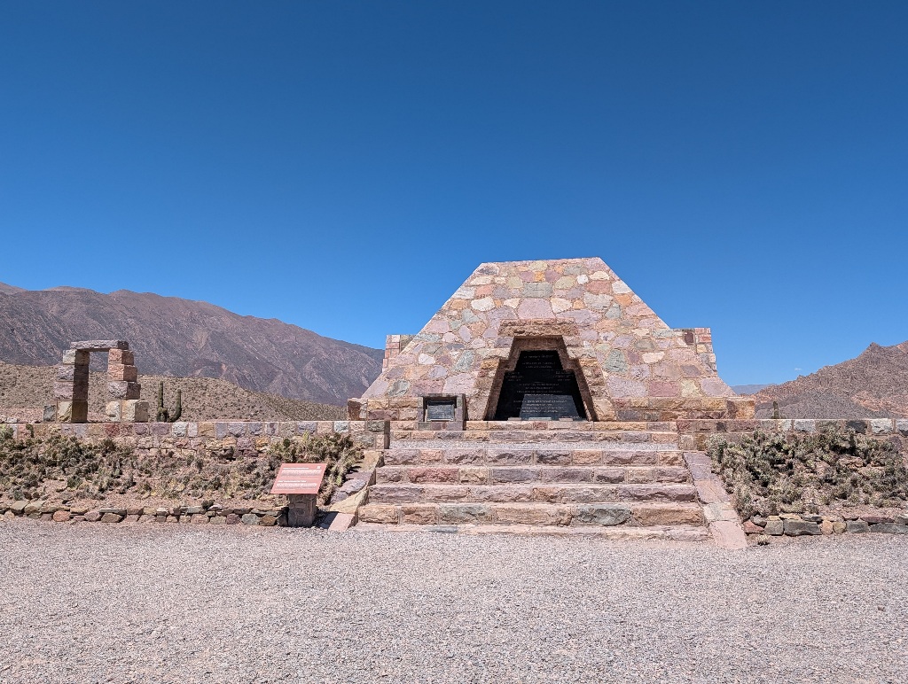
While it looks a lot like Aztec pyramids, it is nothing more than a memorial to the archaeologists that researched the site. There is no evidence that anything like that existed on that site (or anywhere else in the region). While pyramids look great, meaningful and ancient, it's more than a bit misleading to have one as the central structure of an ancient site.
And if the core structure is put there without much regard to historic accuracy, then how much trust should be placed in the authenticity of the buildings around it?
So, yes, this is a great place where it's fun to walk around, which is nice to look at and has great views of the surrounding landscape. And the modern signs on site are (as far as I could tell) carefully worded to provide accurate historic facts about the location without implying that the buildings are in any way original or even accurate replicas.
Some of the signs are refreshingly straightforward.
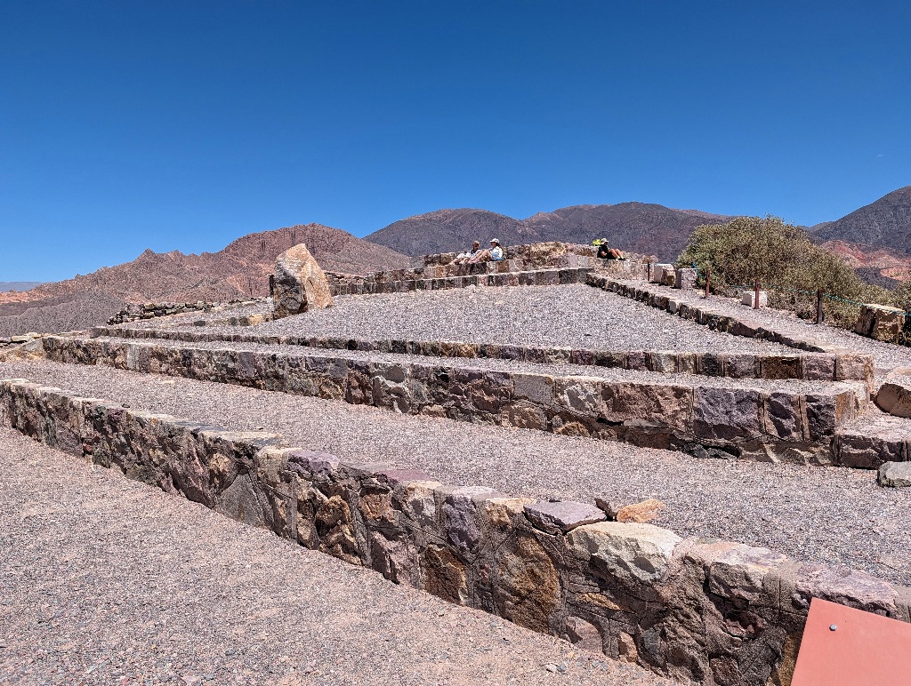
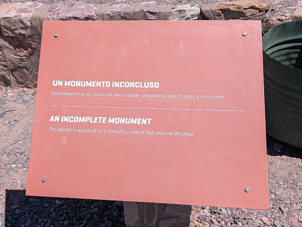
I also like the phrasing on some of the other signs, presenting what other places would declare as park rules, regulations or mandatory code of conduct, simply as "recommendations".
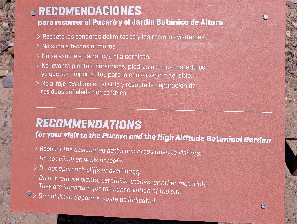
It is recommended that you do not climb walls and roofs. And that you don't litter.
I know that, realistically, it means the same. And that, if you climb on a roof somewhere, someone will come and tell you off. But I still like the way the sign is phrased.
Except for the open questions on how 'authentic' the place is and whether it's more than a kind of 'theme park' for history travellers, it's a good place to visit.
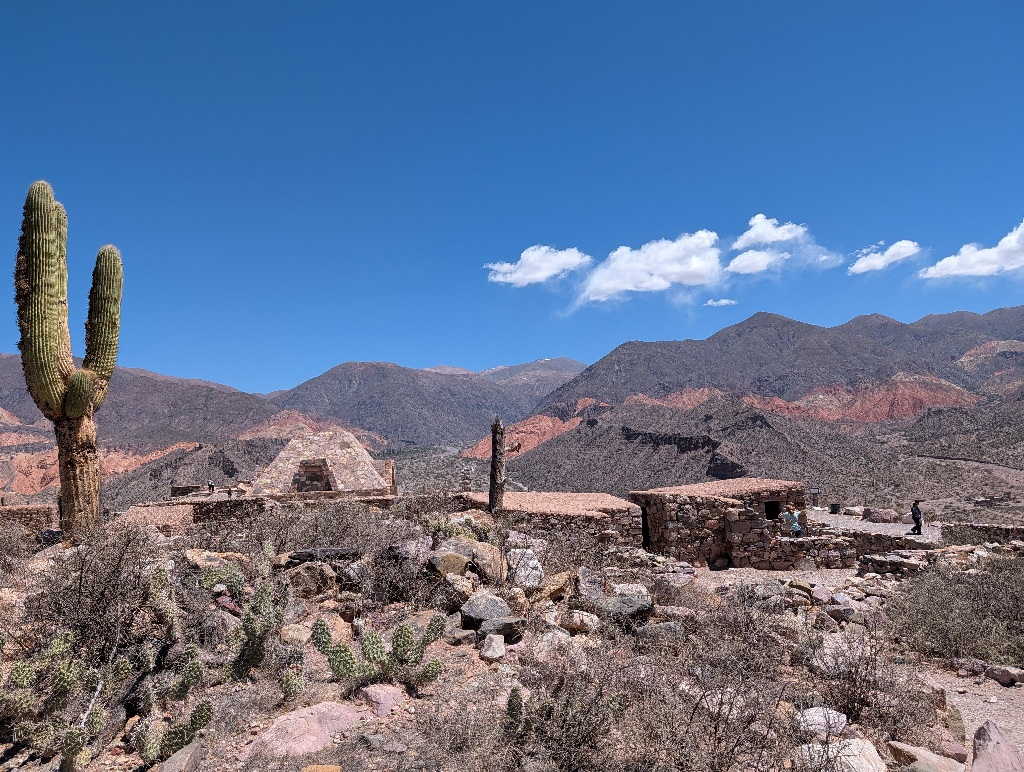
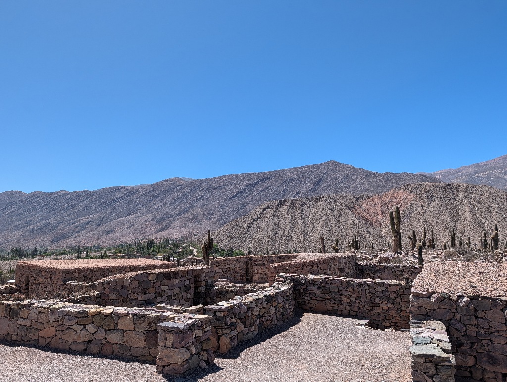
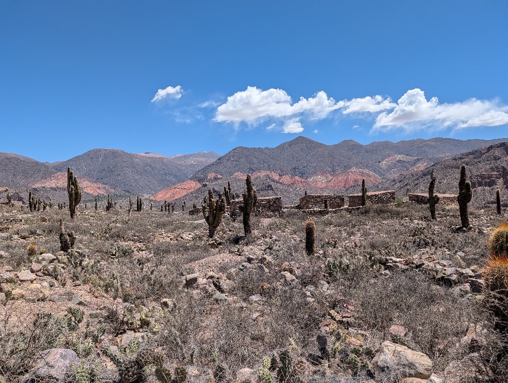
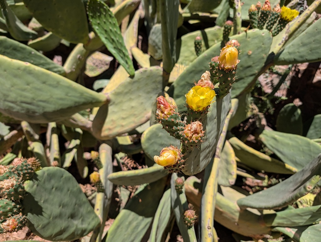
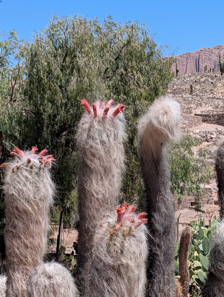
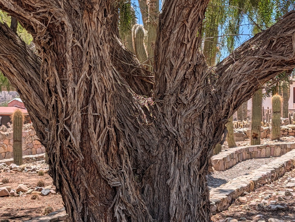
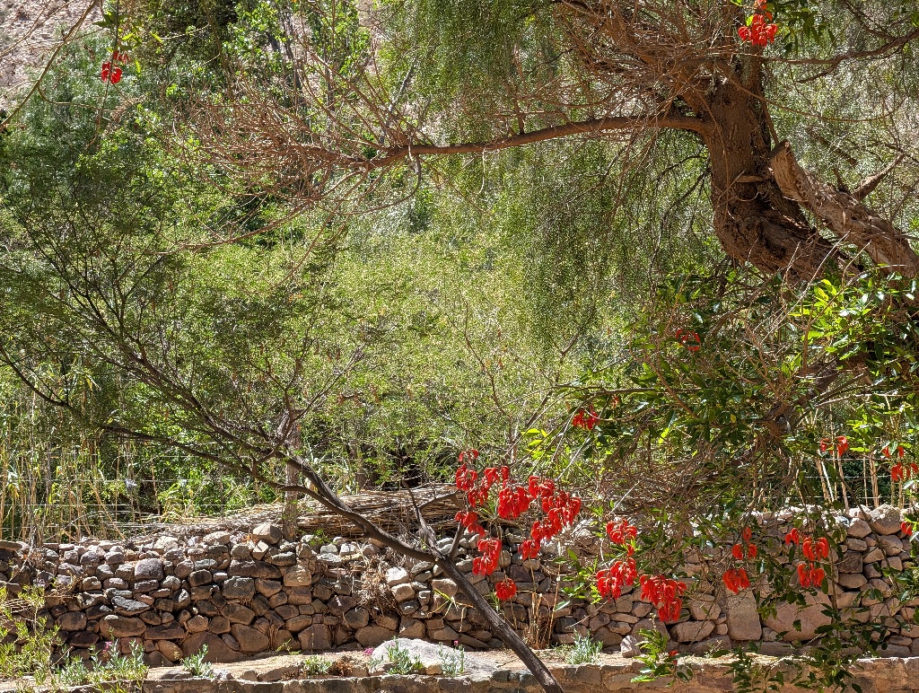
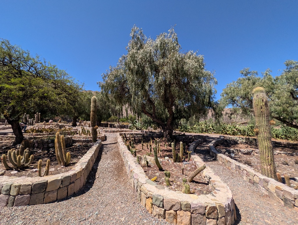
At the bottom of the hill is also a small botanical garden with local plants. Which, except for a few exceptions, means that its full of cacti (or cactuses, whatever you prefer).
My next destination sounded a bit like cacti, but was called Cachi.
It's a rather remote village, a hundred kilometers west of Salta.
It should have been a long but easy drive.
The road between Salta and Cachi goes over a mountain pass (not as high as the one to Salina Grandes, but still crossing at 3348 meters altitude).
According to most descriptions, the road is mostly paved with remarks such as "despite all its curves, is relatively easy to drive", "paved and in excellent condition", "the stretch ... was the only dirt section but very well maintained" or "mostly asphalt, but with well-maintained gravel in the steepest part". (To be fair, there was one remark that stated "... is a very winding unpaved road... This is truly one of the great drives of the World but not for the faint-hearted. With more hairpin bends than any road you can imagine." But I didn't find that until after the trip.)
I hated that road.
The issue is - yes, most of it is indeed paved. But that is where it doesn't really matter. It's on the flat, straight section.
Where it does matter - up the side of the mountain, it's a nightmare.
It was pretty much like the road up to the Garganta del Diablo. Loose gravel, deep drops, no guardrails. And about 30 km of that.
It would be nice to have a picture or two of the road to demonstrate how scary that road was, but I was too concentrated on driving to take pictures. And I didn't want to stop for a picture either. I just wanted to be done with that road as soon as possible.
The "paved" and "mostly asphalt" remarks felt more than a bit cynical by then.
It's a bit like stating that a bridge didn't collapse until the car was 90% across. Or a climbing rope didn't break until the late afternoon.
All a lot less comforting and assuring than it seems.
Also, I wouldn't have minded the gravel as much if there were some sort of guardrails. Or the street not right next to steep mountainsides.
And at points I wondered what others consider "well-maintained gravel".
What I could see was gravel that piled up in the corners of the serpentines.
Which meant that multiple times the skidding warning light in the car came on when I went around corners, telling me that my tires were losing traction, as they were essentially sliding and busy kicking gravel away instead of moving the car forward. And a serpentine corner next to a steep hillside is not a place where you want your car to complain about skidding.
In the end, of course, I managed to get to the mountain pass without any issues. But I found the "yeah, it's not a problem, mostly paved, only a bit of gravel, don't worry" comments more than a bit misleading.
At the pass, there's a good viewpoint, next to a church, that seems to have a great view of the road leading up to it. (And photos show that the street is less scary than it felt. On the road, you see the edge of the road and then nothing but the valley deep below, leading you to assume that there's one deep drop all the way. From the viewpoint, it seems that in many places there's only a small drop right next to the road and then a much milder slope down into the valley. But I didn't know that when driving up.) However, I didn't stop at the pass, as I assumed that the road would go down the mountain on the other side in a similar way.
And I wanted to be done with this whole thing as soon as possible.
To my relief, it turned I was already done with it.
On the other side of the pass, there wasn't a winding road down, but a high altitude plain. And a paved road. No more gravel, no more serpentines. (After a few kilometers I considered turning around and drive back to the church at the pass in order to take a picture, but then decided to head on instead and enjoy the drive.)
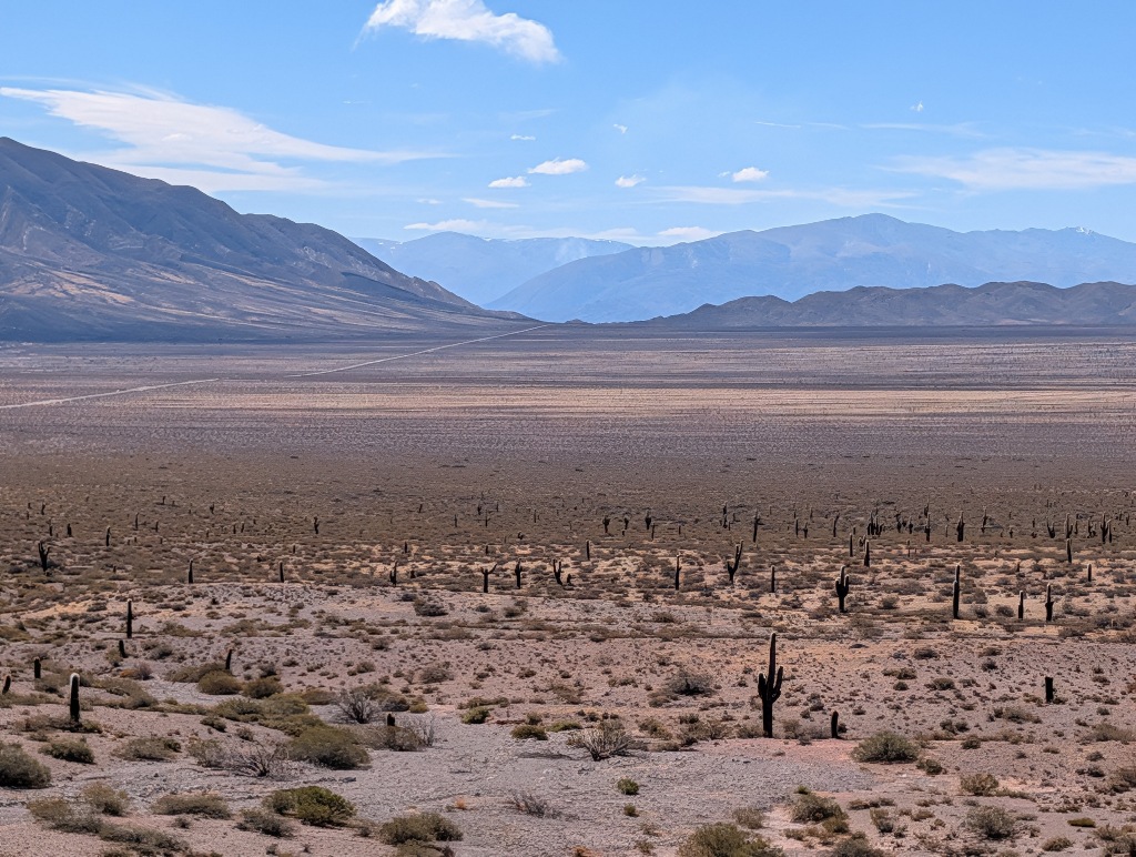
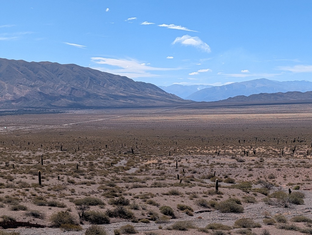
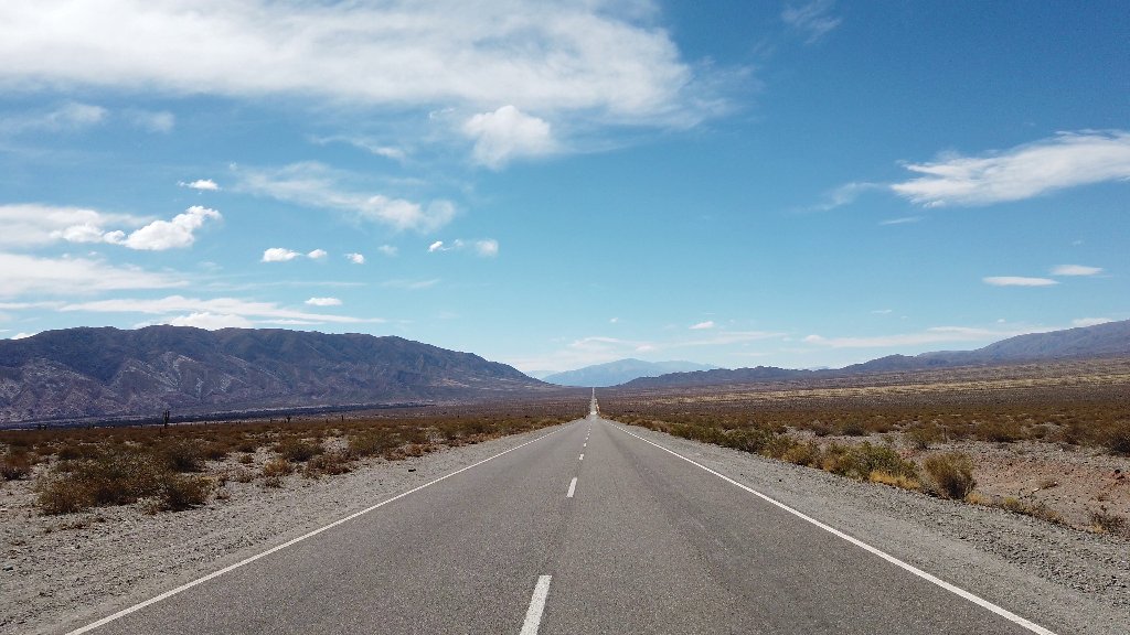
And to make up for all the corners up the mountain on the other side, there's a stretch of road going straight for nearly 20 km. (Oddly enough, on this straight, flat, paved, well-maintained two-lane street, the speed limit is a mere 60 km/h.)
Cachi itself is a nice little town, but it seems that it has attracted more than its fair share of eccentrics over the years.
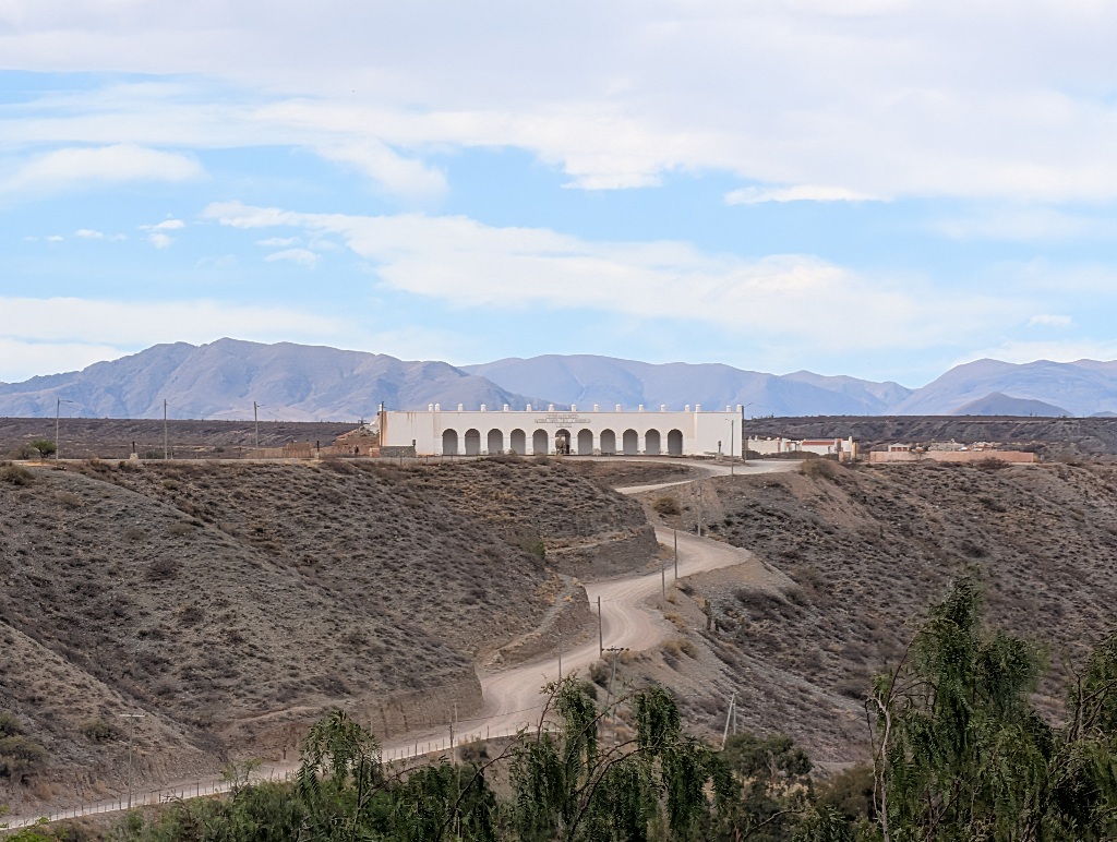
The large construction towering on a hill over Cachi is a cemetery. While it looks like a building, it's essentially a facade.
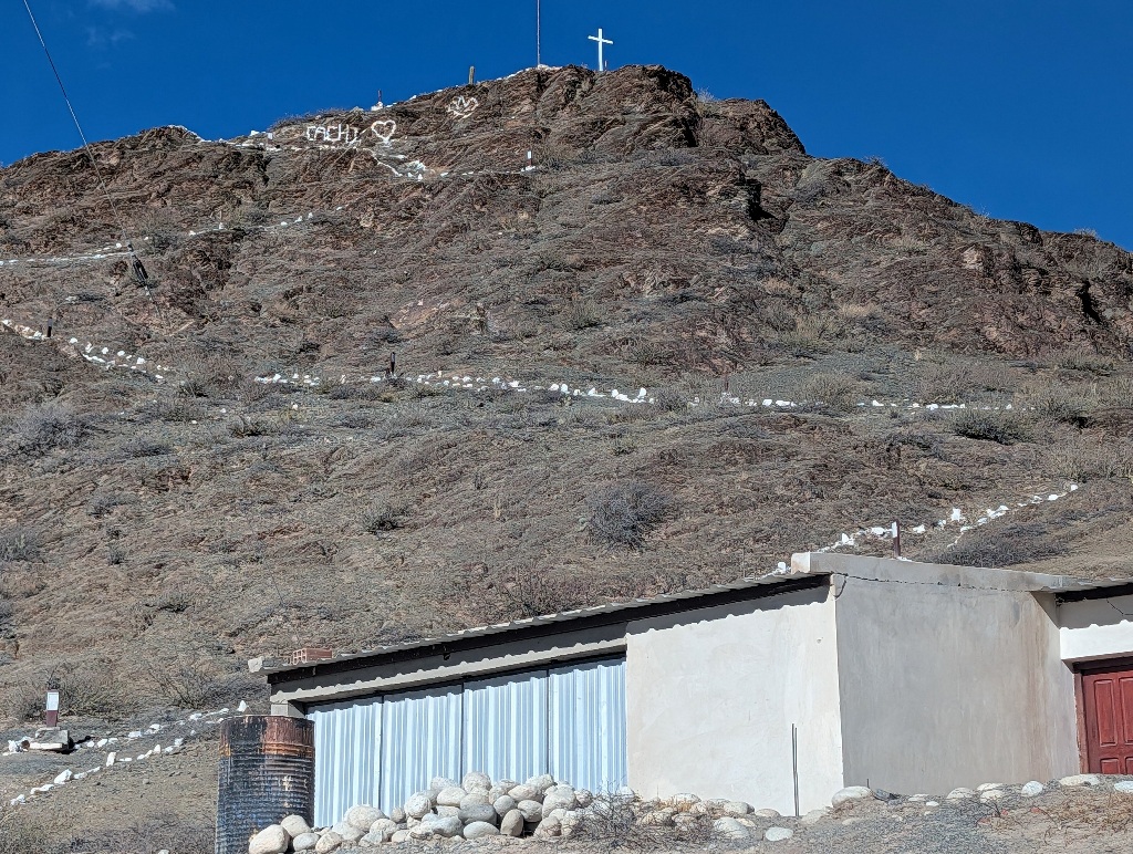
And, in case someone doesn't remember which hill to climb to get to the church, it's well marked.
The place I was staying in belong to the Automovil Club Argentino.
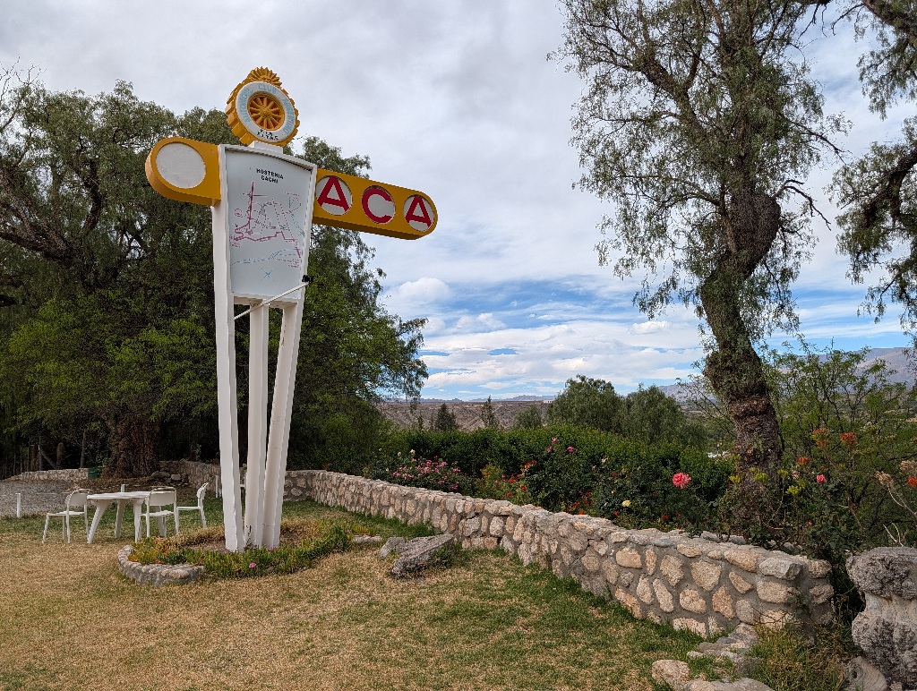
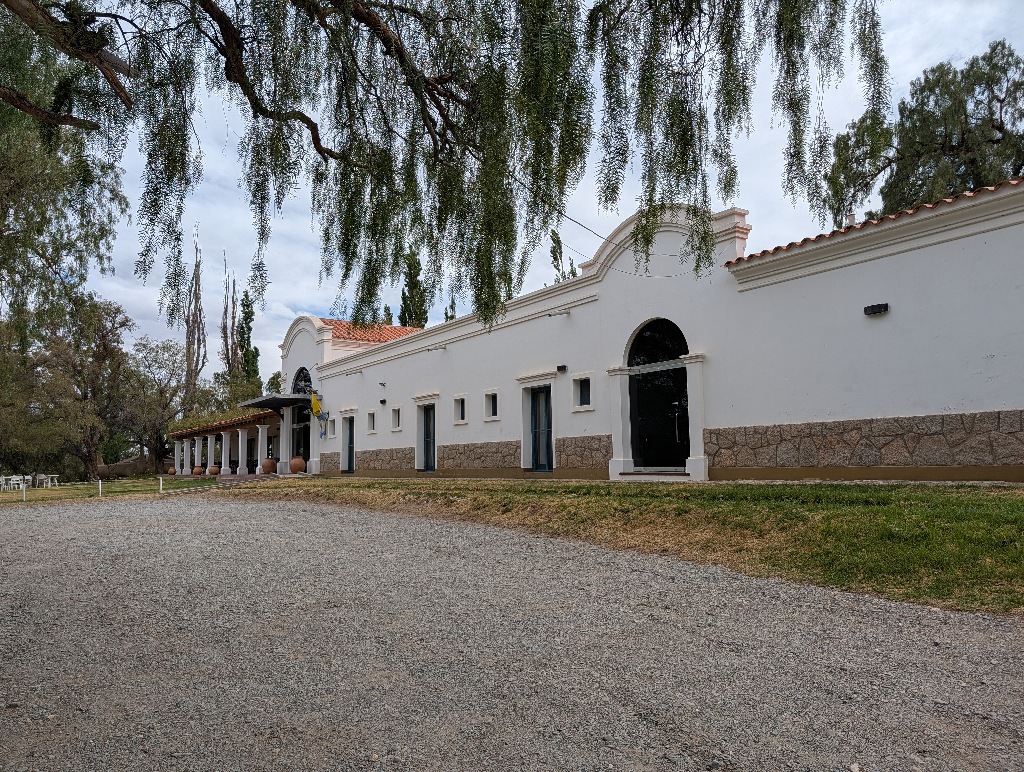
Obviously, it was built at a time where car travel was a lot more glamourous than it is now.
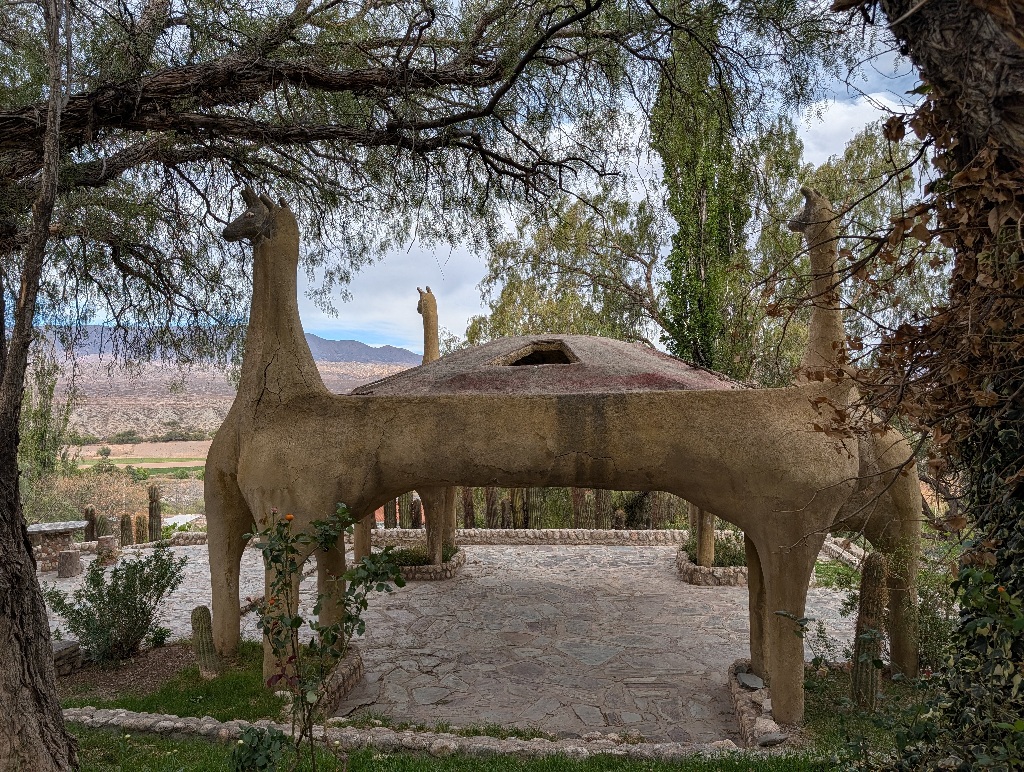
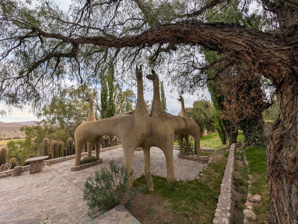
That still doesn't explain why the gazebo in the garden consisted of four concrete llamas.
But the main oddity is these painted stones at the outer edge of Cachi.
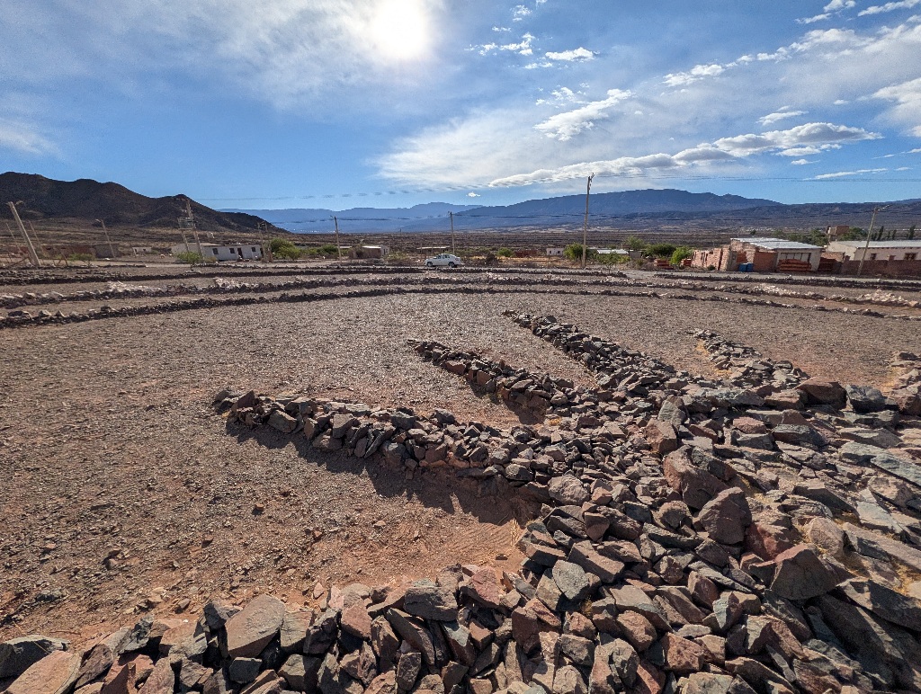
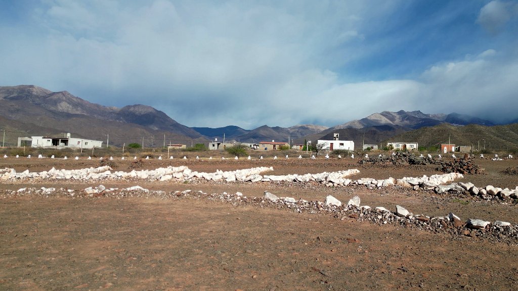
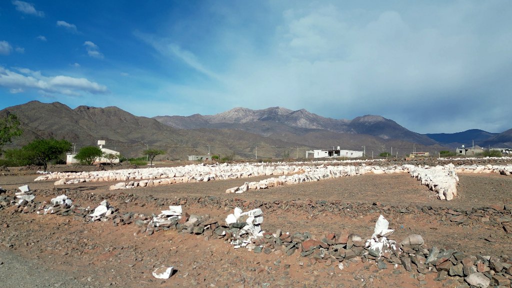
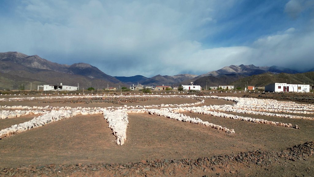
They don't look like much from ground level. It's possible to make out some triangles and star patterns, but that's about it.
But then again, they are not there to be seen from ground level.
They are supposed to provide orientation for extraterrestrials.
The rocks were arranged and painted by a guy from Switzerland who lived in Cachi for a couple of years.
He supposedly had an encounter with an UFO and got the telepathic advice to build a landing site. As usual, things like why an alien spaceship can make it all the way to Earth, but then is incapable of landing or finding the spot again without a huge marker, isn't addressed.
So, mainly during an active period of five years, the Swiss guy arranged rocks in large star patterns and painted some of them for better visibility (it seems there were parts added later, but most of it has been done between 2008 and 2012).
Of course, no UFOs ever showed up and landed there. (Though the constructor of the site claimed to have seen UFOs many times.)
The only strange flying objects the site attracts are drones, flown over the site by tourists to get a bird's eye view of the construction.
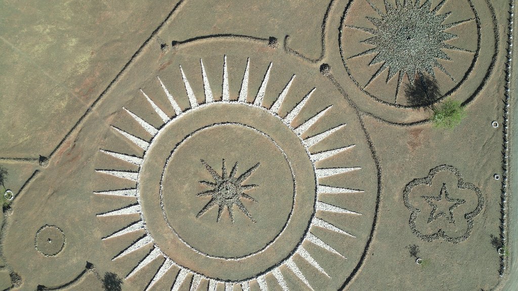
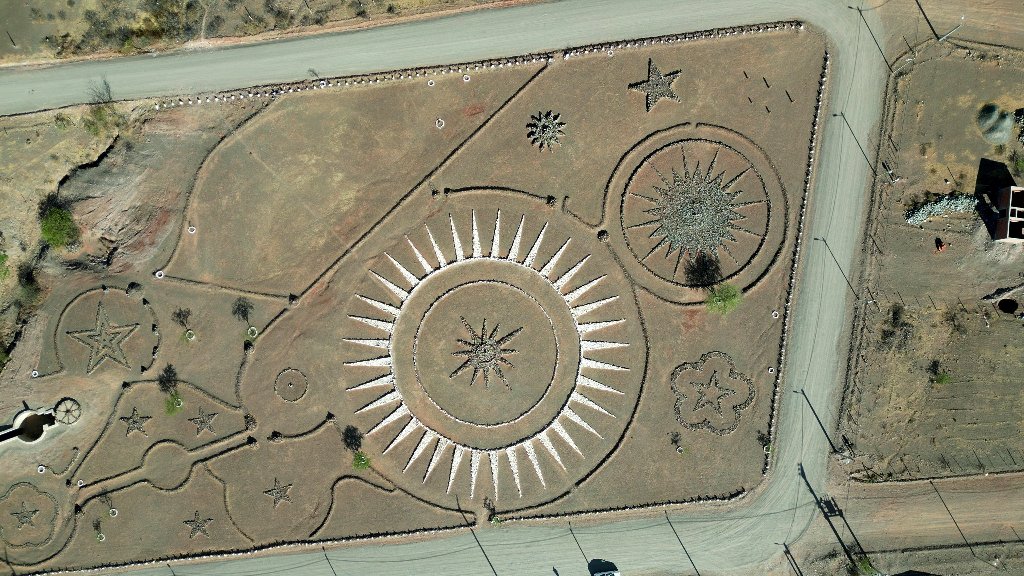
And, admittedly, the place looks cool. But that's about it.
Leaving Cachi left me with a troublesome choice.
My next destination was Cafayate.
And while there's a direct route, the Ruta 40, comments about the route weren't encouraging.
Most of them described the road as 'doable' at best. With statements like "Mostly unpaved gravel, and sand, with washboard sections, dry or shallow river crossings, and occasional road work or construction detours .. Doable in a standard car, Drive slowly and cautiously, especially around blind curves and un-guarded mountain edges."
And "the road can be washed out by rain showers and is quite rugged", "the road gets eroded by the rain", "there might be some river crossings", "some stretches made of gravel and others made of sand or dirt", "the notorious Ruta 40", "You need a 4WD. Your knuckles will be less white.", along with tales of cars breaking down and flat tires.
Due to these kinds of remarks, I got a bit nervous.
The road I used the previous day (Ruta 33) was the one generally described as "mostly paved" and "very well maintained". I was a bit hesitant to drive on a road that (sometimes the same) people were calling "notorious" and only sometimes doable with a two-wheel drive without high ground clearance.
On the other hand, I really didn't want to drive Ruta 33 again.
After thinking about it for a while, I decided to start early and give Ruta 40 a try. If it got really bad, I still could turn around and face Ruta 33, drive almost back to Salta and take the regular Ruta 68 down to Cafayate. It would be a long day driving, but I would get to Cafayate somehow.
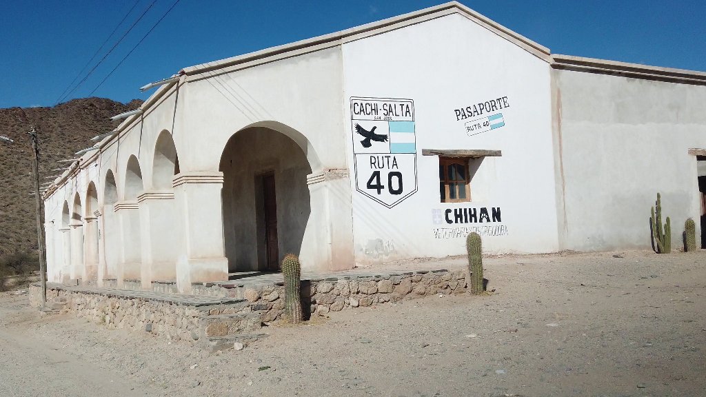
Of course, (almost) all the worries turned out to be unjustified.
While Ruta 40 is nearly 150 km of gravel road, it's an easy gravel road.
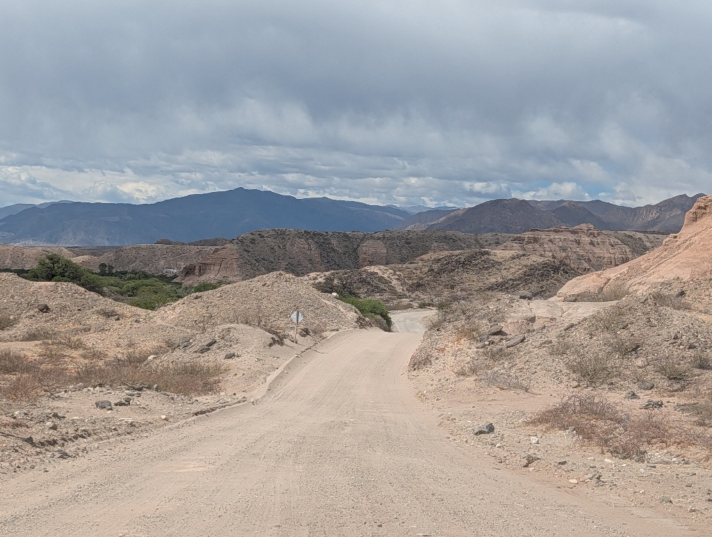
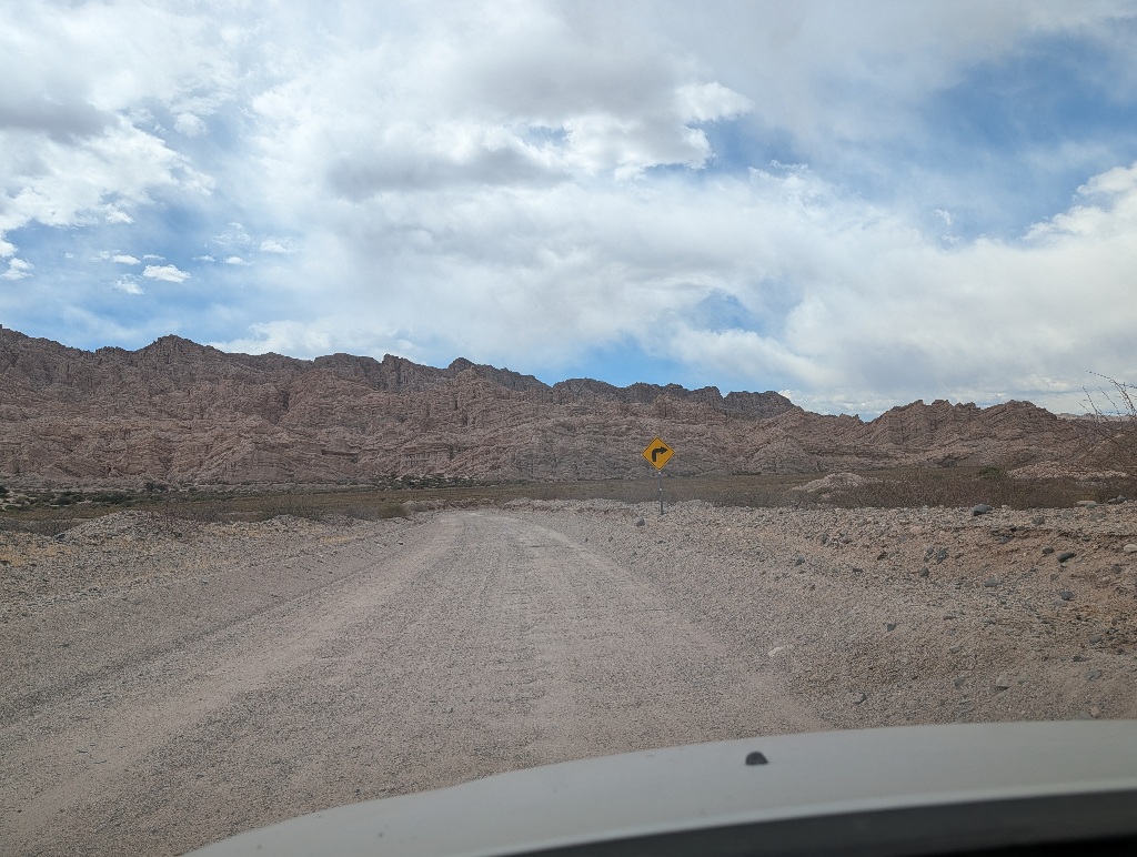
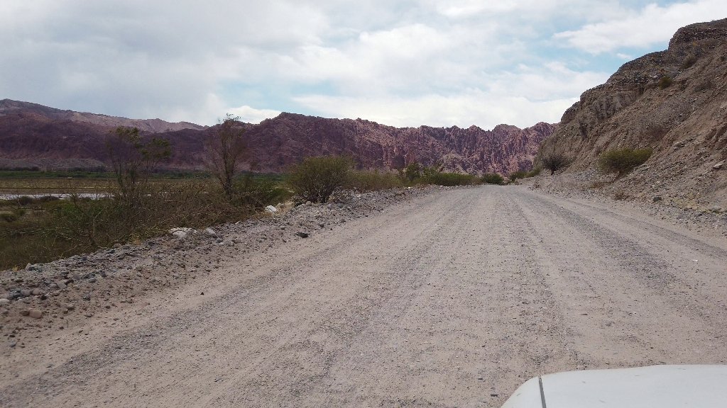
The underlying dirt surface was firm and flat. Not a sand pit along the way (unlike the road to Tres Morros). The gravel was evenly distributed, with no gravel pile-ups. The skidding warning light stayed off.
There was some washboarding on the surface, but that simply caused the car to vibrate a lot. It didn't cause the car to 'bounce'.
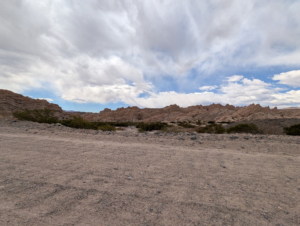
At no point I had to worry about having insufficient ground clearance. The surface was even, with no tire grooves, which tend to be the main problem when driving down dirt tracks with regular cars.
And the road stayed mostly on flat bits of land or went between the hills, so there was never a scary drop at the side of the road.
I'm not sure where the warning about river crossings comes from.
I didn't expect that to be an issue, as all the river beds I had seen so far were mostly or completely dry. Even if they weren't, the road never went through anything that looked like a river bed. There were a few points where the road dipped about ten centimeters over a couple of meters. Those looked like sections where, after a lot of rain, some water might stream across the road. But even there, the water wouldn't reach halfway up the wheels. It would be more like driving through a puddle than a river crossing.
All the actual rivers had bridges.
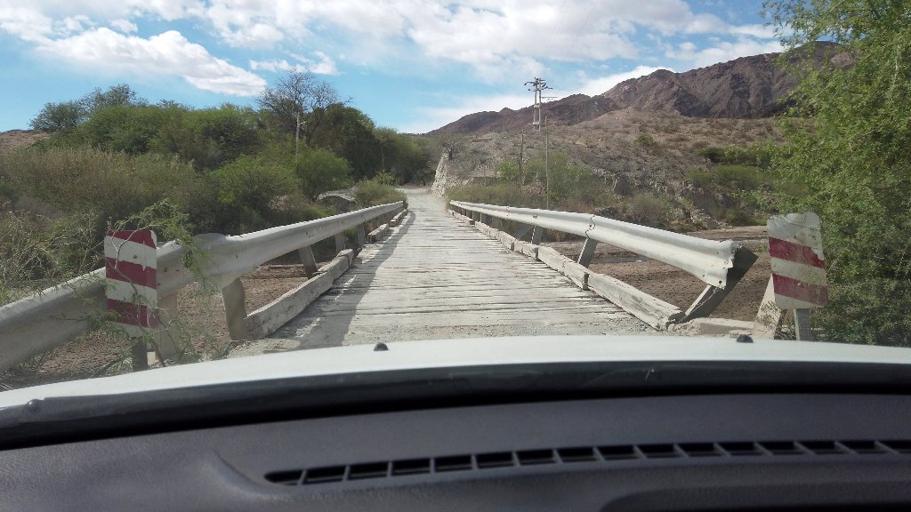
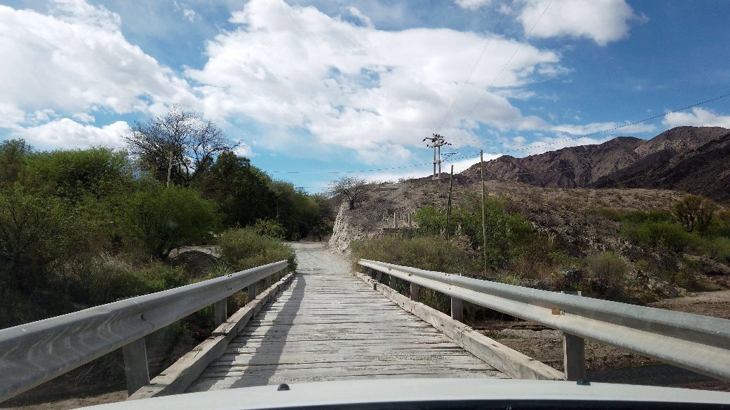
Admittedly, these weren't the most confidence inspiring bridges and they looked a bit rough. But they did their job and were easily driveable with a two-wheel drive car.
No problem.
Driving 150 km along a dirt road isn't much fun, but it wasn't much of an ordeal either. Definitely not a stressful or white knuckles drive.
Much better than driving on Ruta 33. (Mostly...)
And the landscape I drove through was always interesting.
It started out with a view of the mountain range I crossed the previous day. With a, mostly dry, river in between, widening up the scenery.
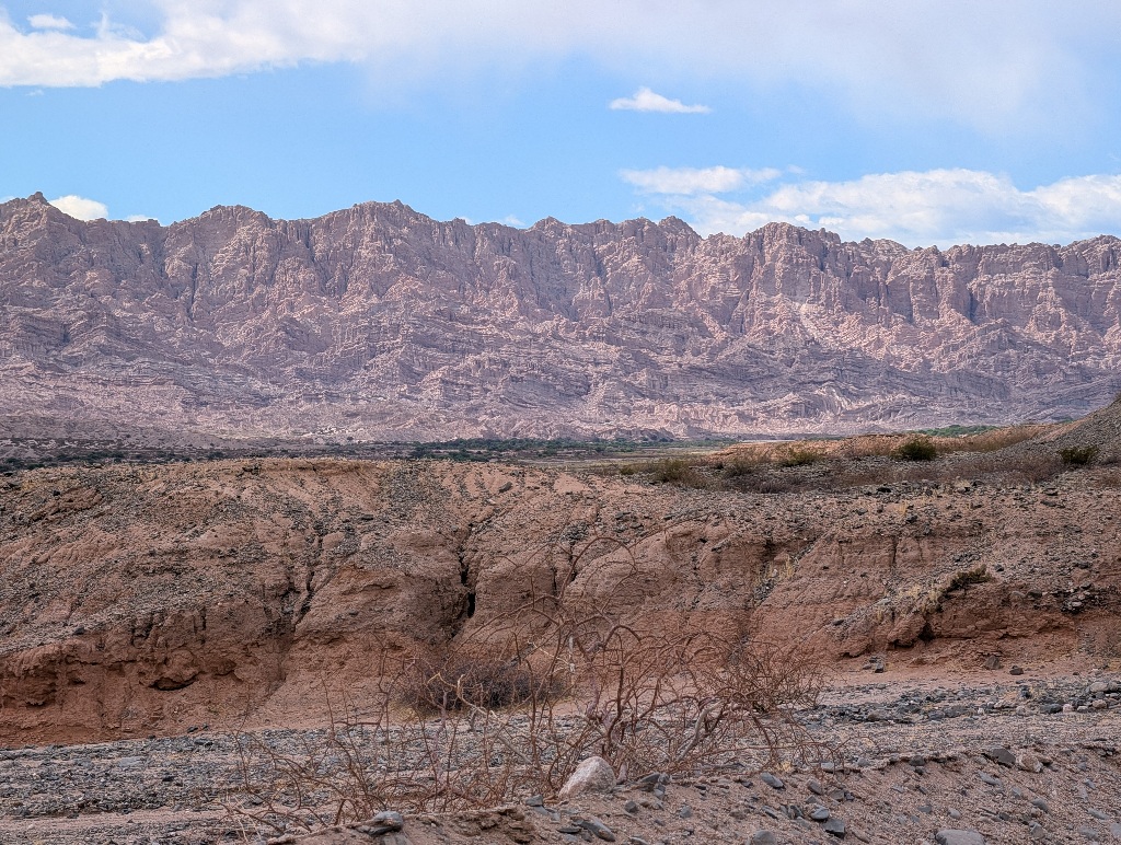
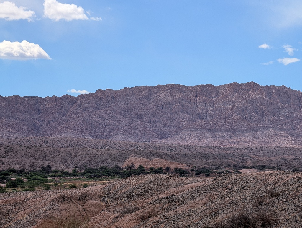
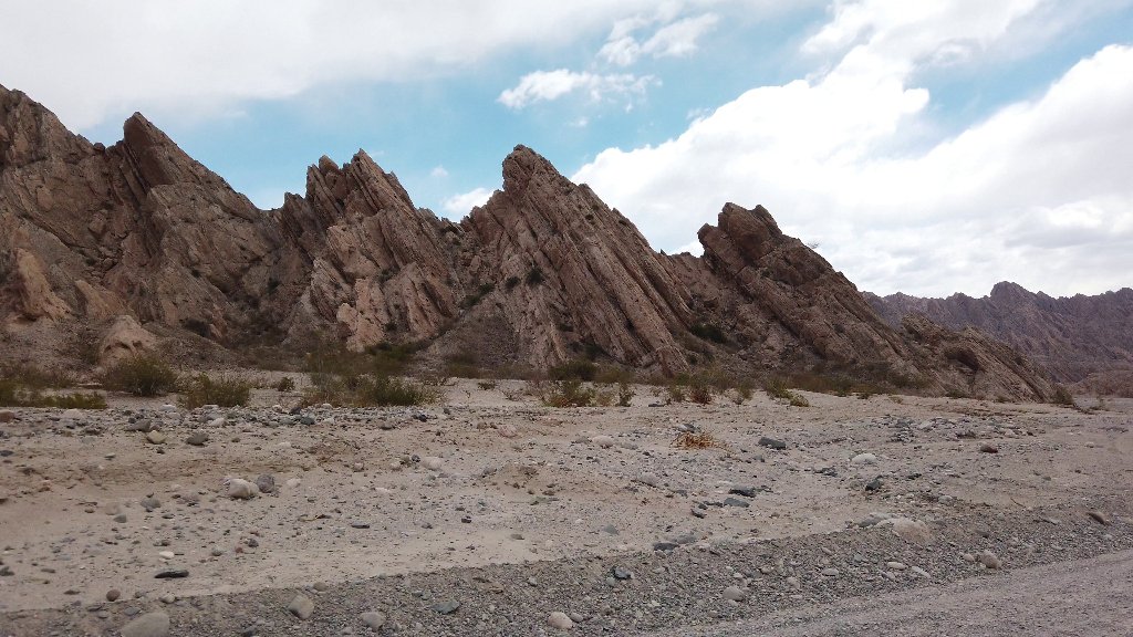
Towards the end, there were red rock cliffs close to the road, but they were jagged and spiky, looking a bit like the top of mountains trying to break out of the flat surface.
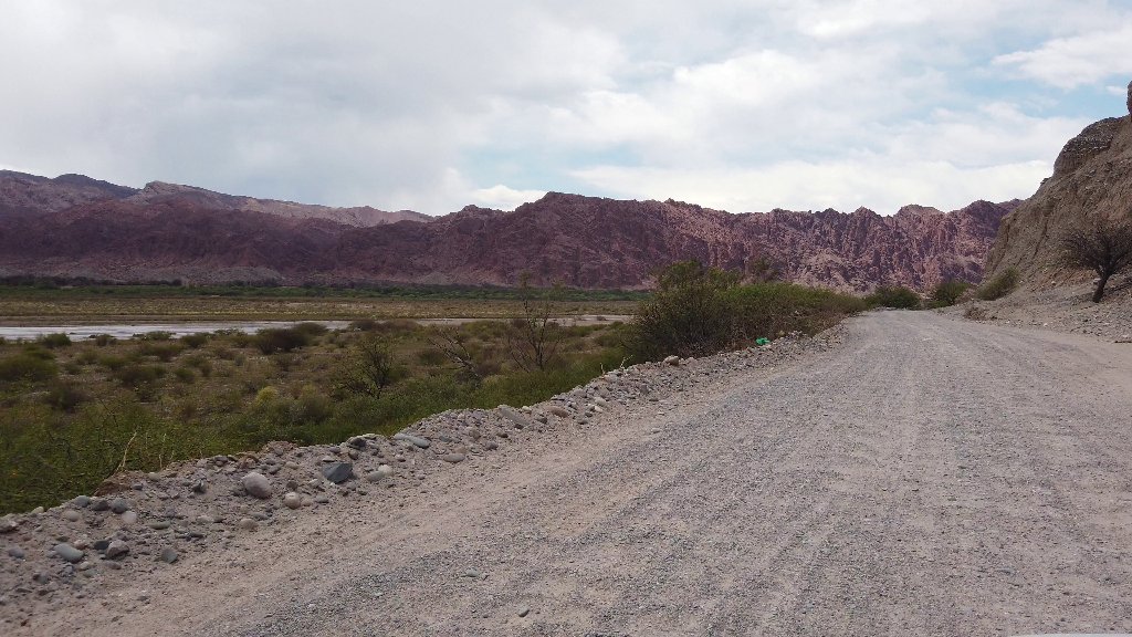
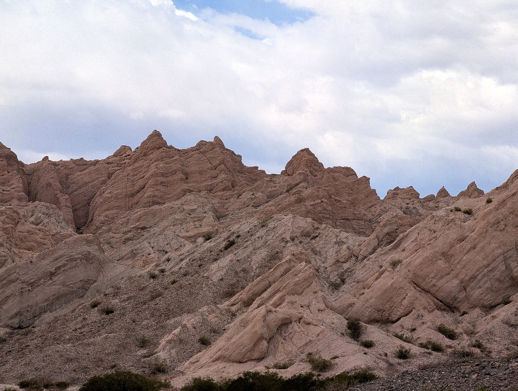
After three or four hours of driving, I was back on an asphalt road.
I had managed to 'do' the most difficult section of Ruta 40 in a two-wheel drive car (and not even a particular fancy one).
Five kilometers on, I drove through the village of San Carlos, with only another 25 km or so to Cafayate. On proper roads.
When I passed the main square of the village, my right back tire suddenly made flap-flap-flap-flap noises. I stopped, looked and found that I had a flat tire.
After 150 km of driving a gravel road, 5 km of asphalt surface was too much for the tire...
Though it presumably wasn't the asphalt surface that damaged the tire.
I assume that the tire was already in a bad shape and some sharp rocks were lodged in the tire profile. And driving over a speed bump finally drove the rock in and punctured the tire.
On one hand, it's really annoying to have a flat tire. On the other hand, given all the places in the middle of nowhere, where it might have happened, this was the place where it was the least problematic.
I changed the tire and then tried to figure out how to get the damaged one fixed. Partly because I didn't want to drive on without a working spare tire, in case the same thing happened with one of the other tires. And partly because I didn't want the rental car company to charge me for a new tire.
The important word to learn at this point is "Gomeria".
Gomerias are tire repair shops.
And there are a lot of them in that area. (Actually, during the trip I had seen signs pointing to a gomeria so many times that I had assumed it was some sort of local kiosk shop. It's that ubiquitous.)
Once I knew what to look for, I quickly found one and they did a quick repair.
While Google assures me that tires on a "Renault Logan tires are tubeless by design and do not use inner tubes", they took the outer mantle off the rim and removed the inner tube.
The puncture in the tube itself was easily fixed.
It was like repairing a bicycle. Only larger. They took the tube, reinflated it and dunked it into a big tub of water. After seeing where the bubbles emerged, they put a patch on that spot and the tube was fixed.
But then they showed me the outer part of the tire.
The protective layer on the inside had partly peeled off and, when held against the light, the whole thing looked like a star map, with lots of tiny points of light.
They suggested that I shouldn't use this one again (to which I wholeheartedly agreed) and sold me a used one that was in a much better state (as in "not full of holes").
They put the repaired tube in there, pressed both onto the rim, inflated the tire, jacked up the car, took off the spare tire and put on the repaired one.
All took less than half an hour. And it did cost me (including the 'new' used mantle) about 25 US dollars.
That's presumably less time and less money than it would have cost me to argue with the car rental company about it. And I was ready to drive on, without having to wait for some rental company approved car service company.
No worries.
I really could have done without a blown tire. But in the end, it was a surprisingly unstressful experience. And things were resolved much more easily than I had assumed.
And I made it to Cafayate (and, ultimately, back to Salta) without further issues.
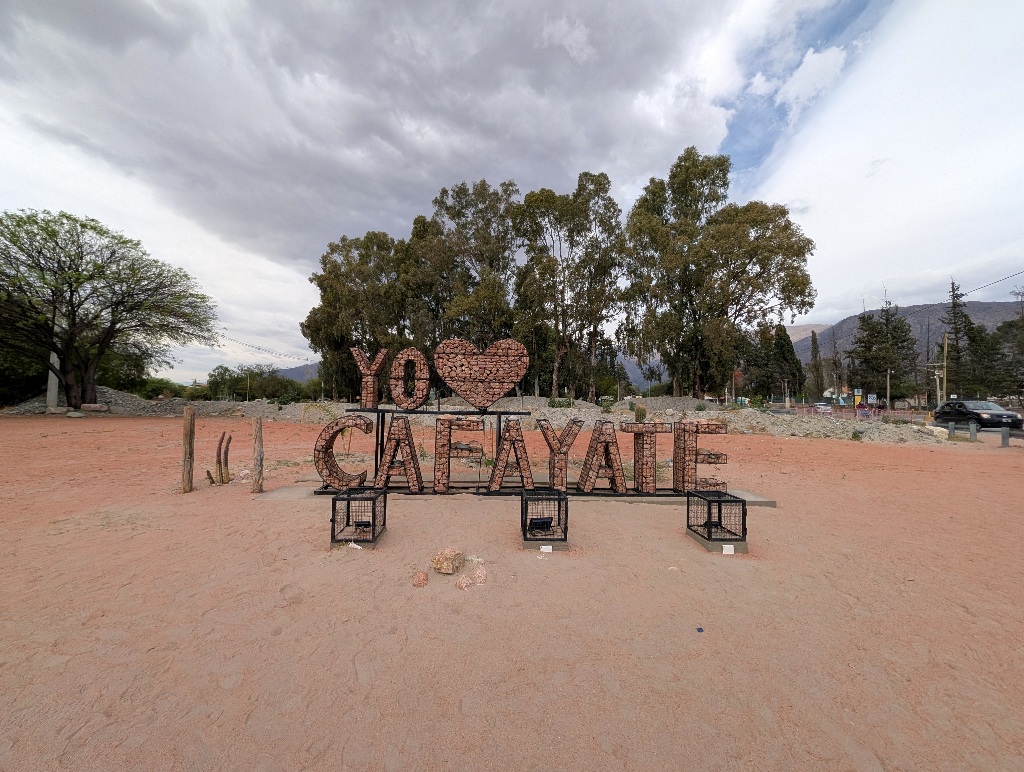
Time again for a place name in large letters, I suppose.
I hadn't really planned to do much in Cafayate.
It was getting close to the end of the trip. And Cafayate is famous for its wineries and vineyards.
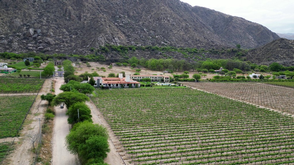
So I had booked myself into a wine resort (or, as its description has it, a "sophisticated retreat") opposite a bodega and wine bar, with its own vineyard.
My 'plan' was to, essentially, take two days off, be lazy, sit at the pool and write. Have a couple of steak dinners with local wines. And relax.
While I did all that, it didn't really fill the two days I had, so I looked for something else to do.
The first activity fitted the theme of vineyards and wineries. I went to 'downtown Cafayate' to visit the wine museum.
The museum faced the same problem the wine museum in Bordeaux (which I had visited in February) had.
It's difficult to exhibit wine.
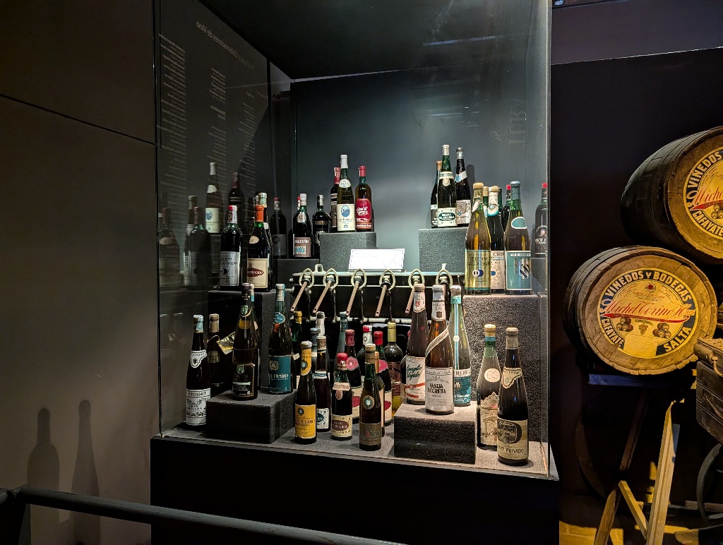
You can show some bottles and winemaking equipment, but they don't capture the essence of the wine, which is in the drinking.
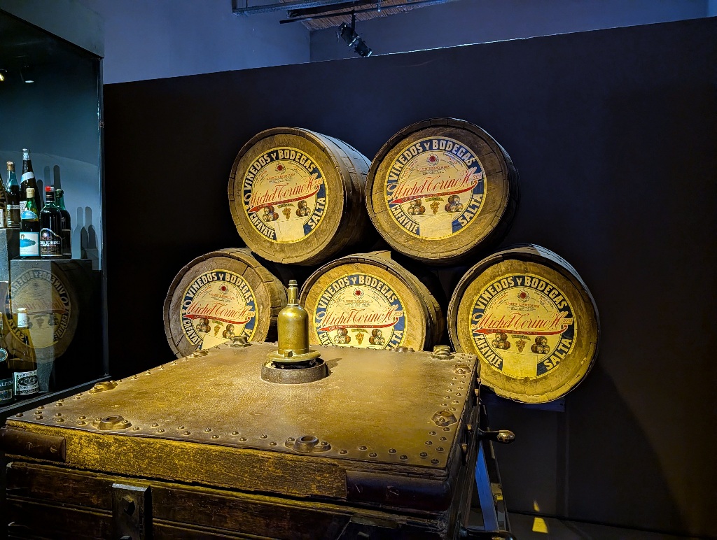
And it's difficult to make the smell and taste of wines an exhibit.
Well, actually it's easy. It's called a wine tasting. And there were many bodegas in Cafayate which offered exactly that. But that's not the same as a wine museum.
You can inform visitors about wine, its history and how it is made, but for that a book works just as well. Probably better.
Or you can do it as a video. Visitors can watch videos at home and in more comfort.
You need to provide something that visitors can't easily recreate and experience at home.
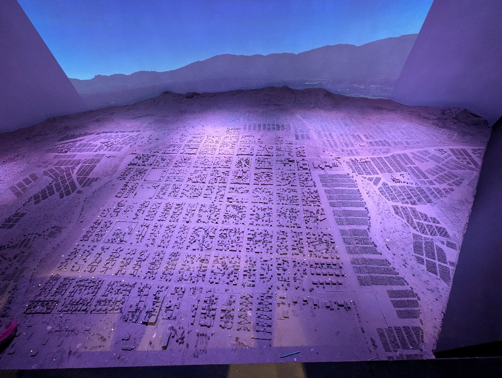
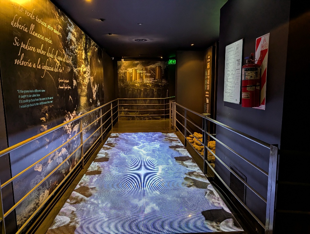
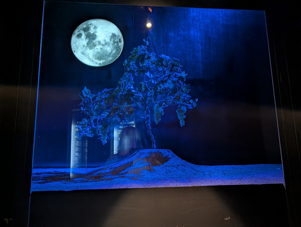
In the wine museum in Cafayate, they did a reasonably good job with that, having a physical map of Cafayate with projections on top. Animations of a river on the floor to show the dry and wet seasons. A diorama showing wine plants in daylight and at night
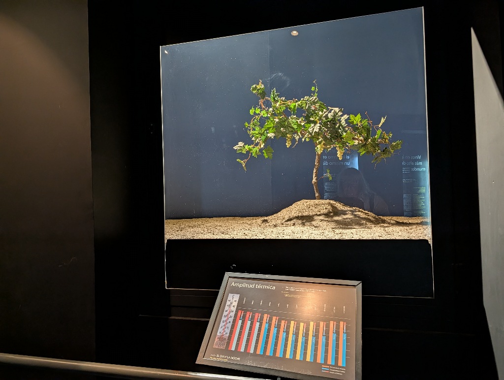
That still didn't change the fact that it's difficult to exhibit wine.
The phrasing of some of the English translations surprised me a bit.
One was the reference to rosé wine as 'blush wine', a term I never heard before. But it turns out that this was a term once used for rosé wine (possibly due to not wanting to have an accented letter in the English name and due to not wanting customers to assume that the wine was made from roses). It's an outdated and rarely used term now, but it is a correct translation.
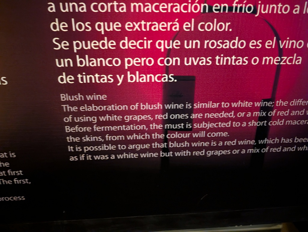
Another phrase that seemed quirky to me was one where I wasn't sure whether someone hadn't thought through what the text was implying. Or was only too aware of it.
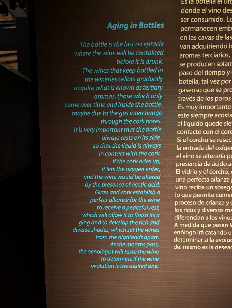
"The bottle is the last receptacle where the wine will be contained before it is drunk."
Sorry? I may be overly sophisticated, but in most cases, I use a glass for drinking wine!
Although surely a lot of wine is consumed directly from the bottle...
Speaking of quirky...
Directly opposite the wine museum is a building with an unusual facade.
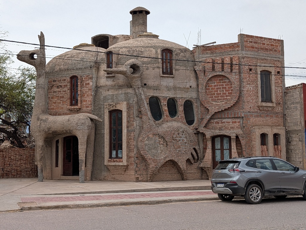
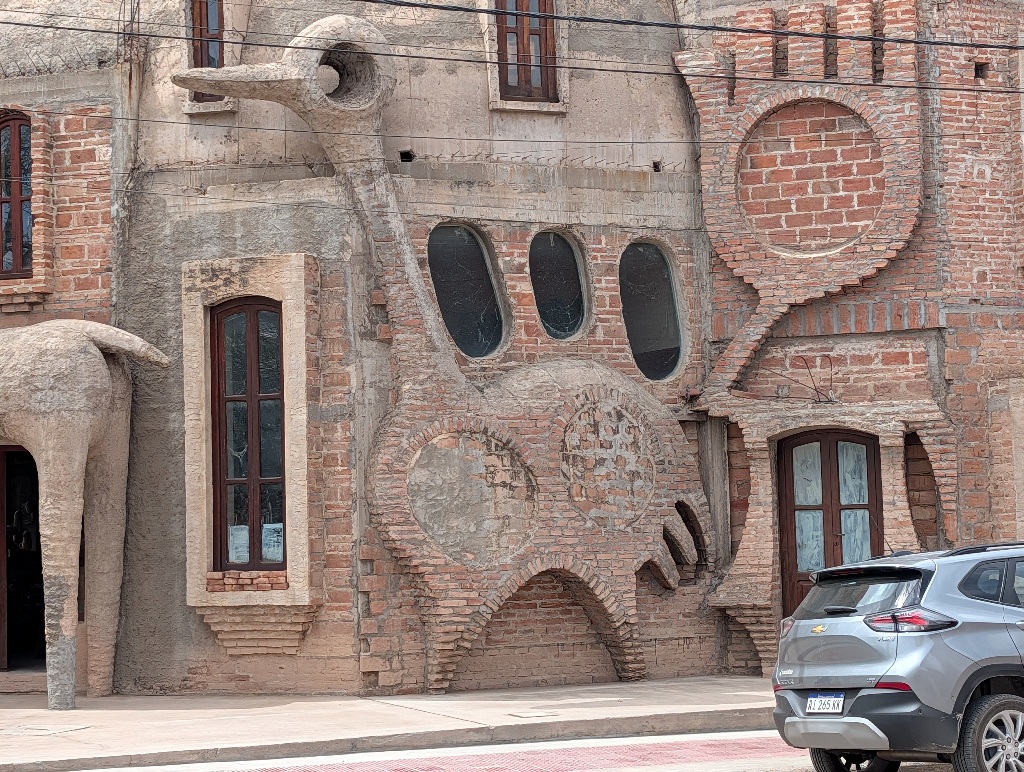
Though it doesn't seem to be a good place for parrots.
At a construction site, right next to the odd house, were two dead parrots on the ground. (And I'll refrain from quoting a sketch here...)
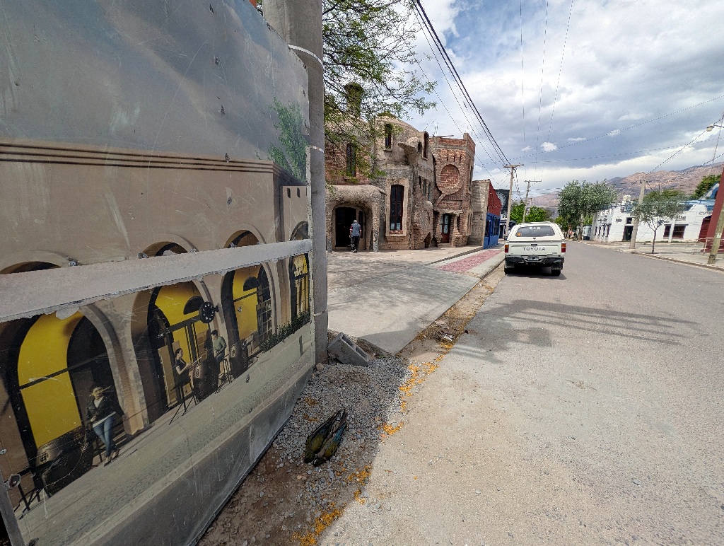
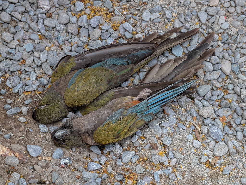
I have no idea why they were there. I hadn't seen any live parrots anywhere, so I don't assume that they were birds that were local to the area. And it seemed unlikely that two of them happened to end up dead side by side. On the other hand, if you have parrots as pets at home and they die, why would you put them somewhere on the street instead of dumping them with the trash (or bury them, if you were fond of them).
Strange.
More understandable were a cactus painted onto a house wall and some aggressive-looking were-jaguar (?) graffiti.
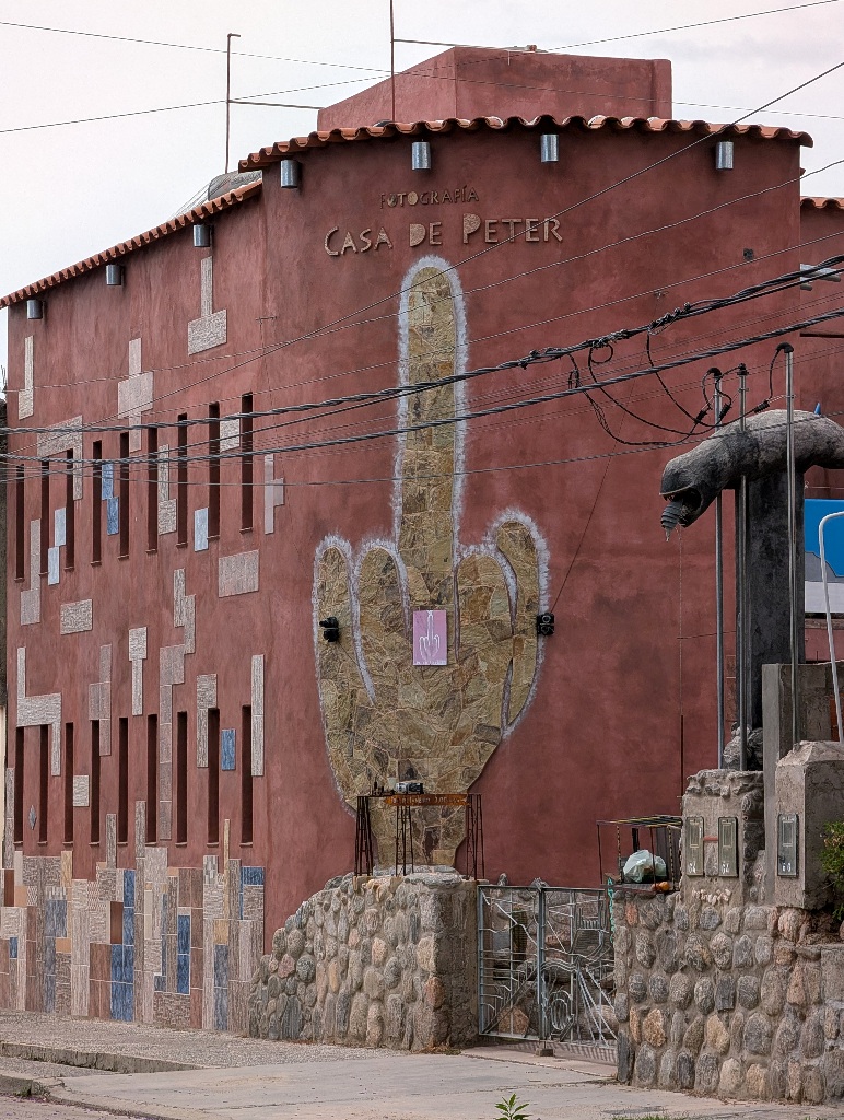
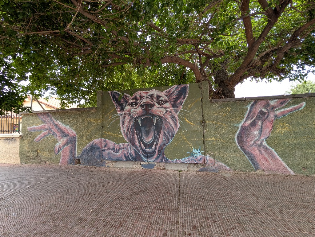
Both clearly stating: Go away!
Which I did.
Time for the dunes.
Cafayate doesn't have any beaches, but there is an area with large sand dunes.
It feels a bit odd being there, as it doesn't match anything around it.
All around Cafayate are mountains, mostly from grey and red rocks. The beige sand comes as a bit of a surprise.
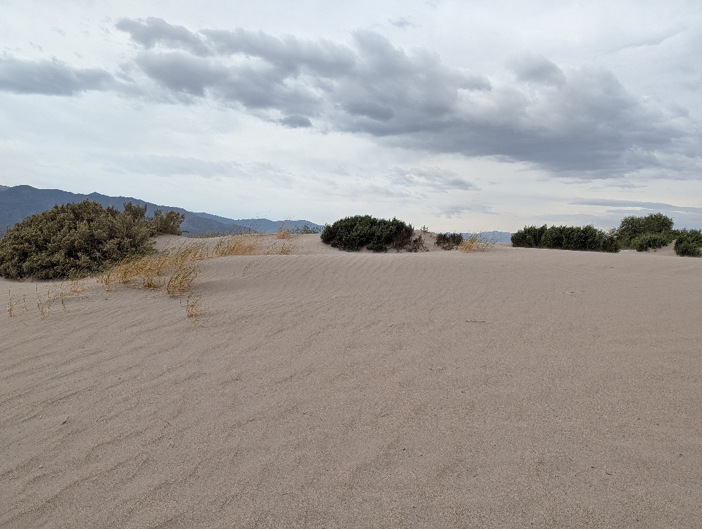
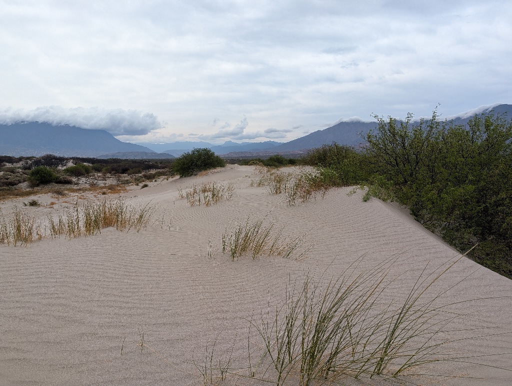
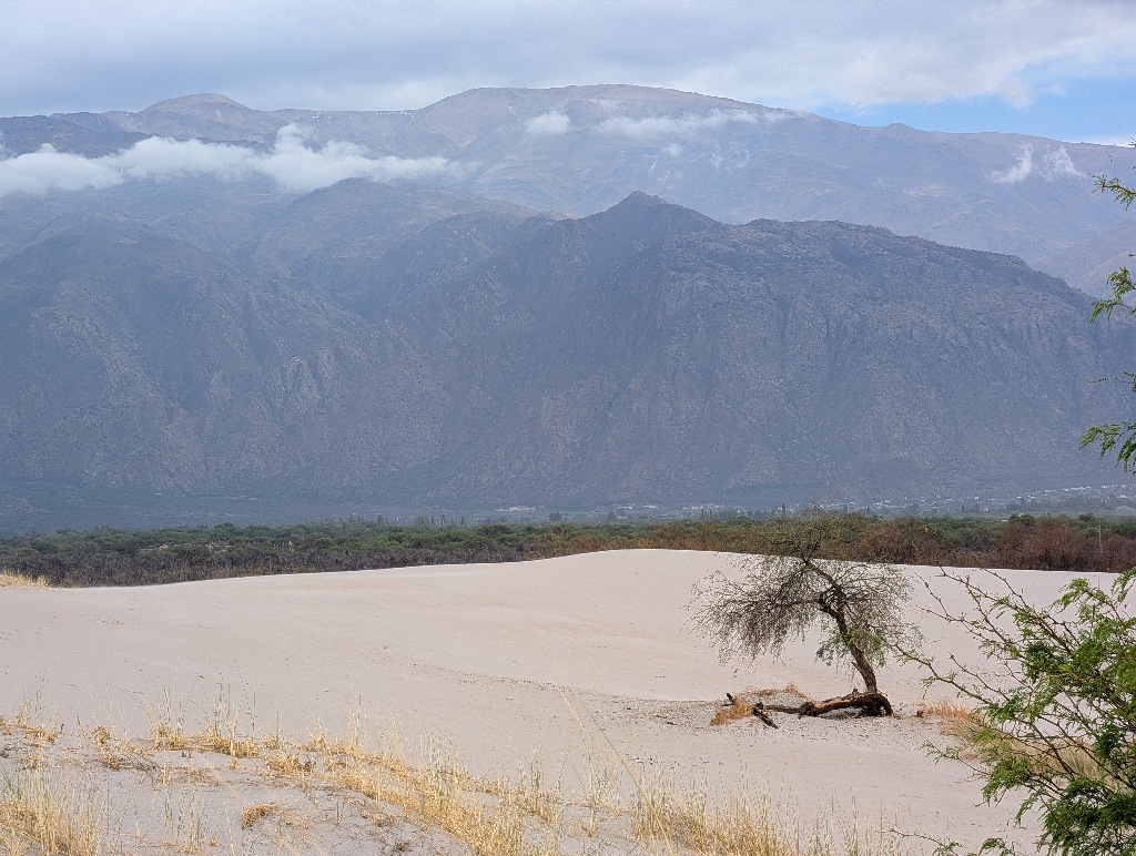
Not too long ago, there must have been a forest fire in that area.
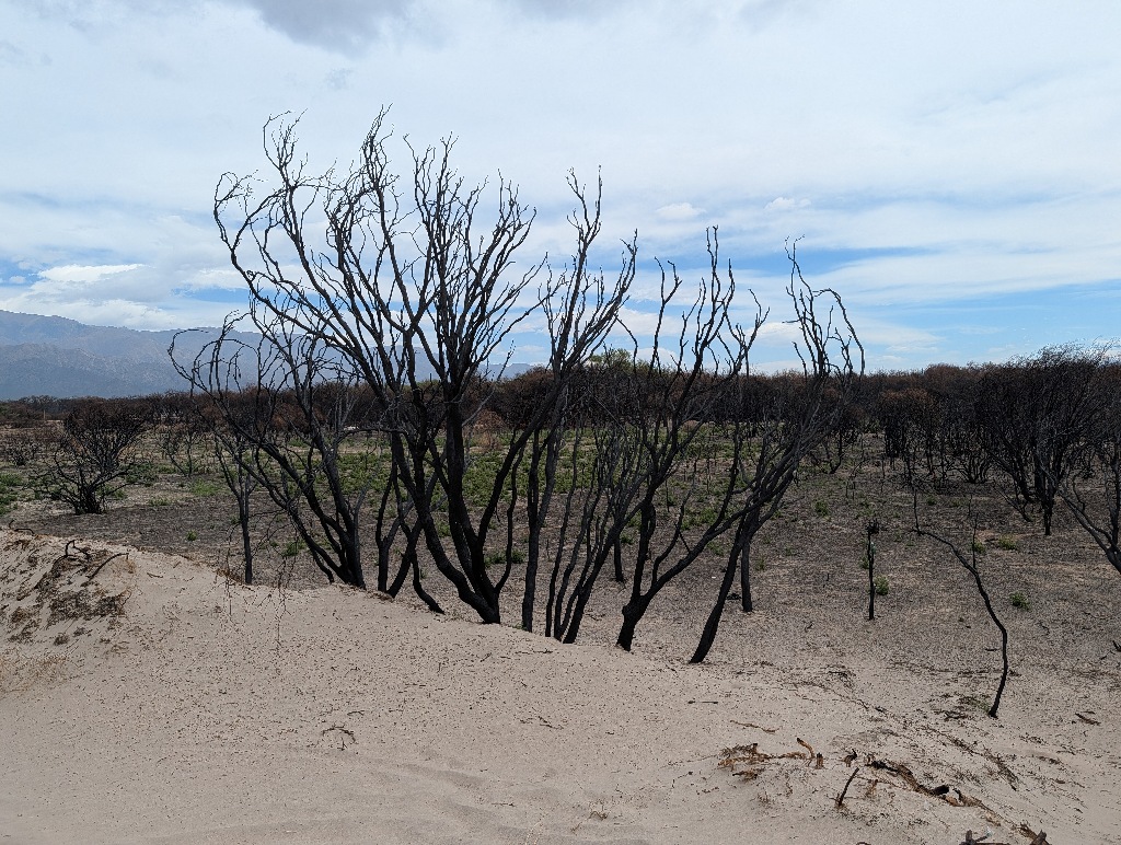
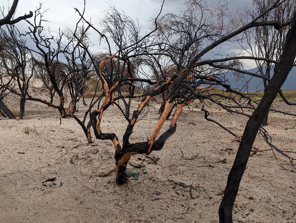
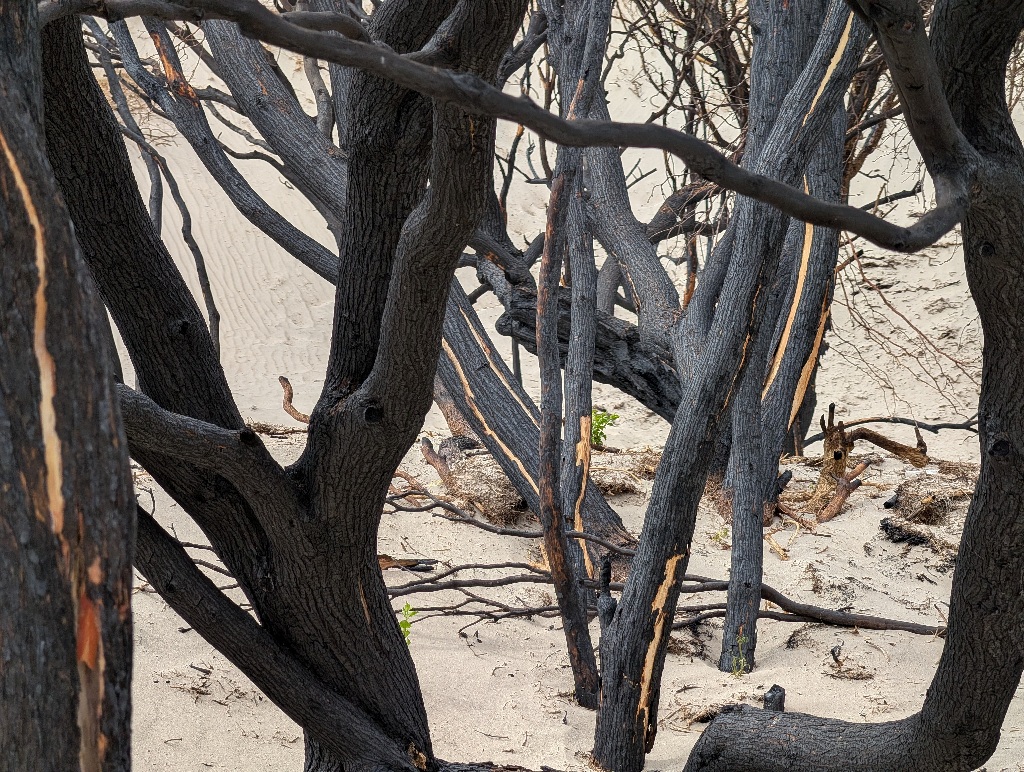
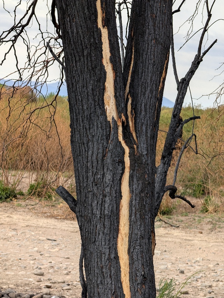
Most trees had black, charred bark. On some of them, the bark had started to peel off, revealing the light brown wood underneath.
A group of free-roaming horses was in the area, looking for food.
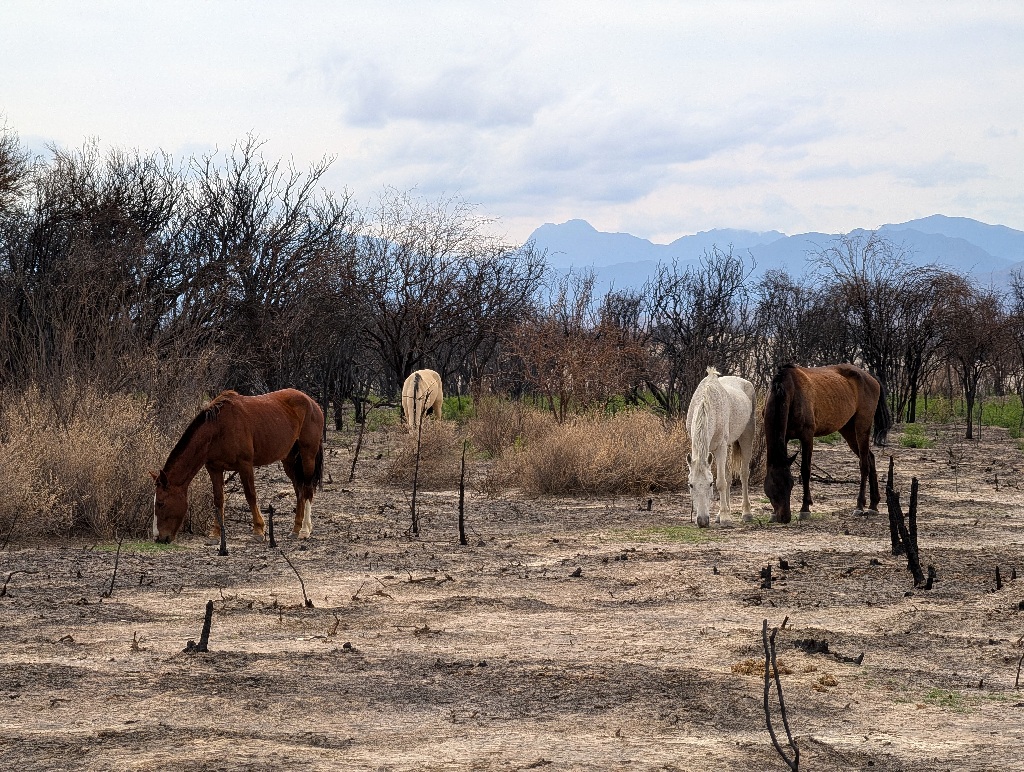
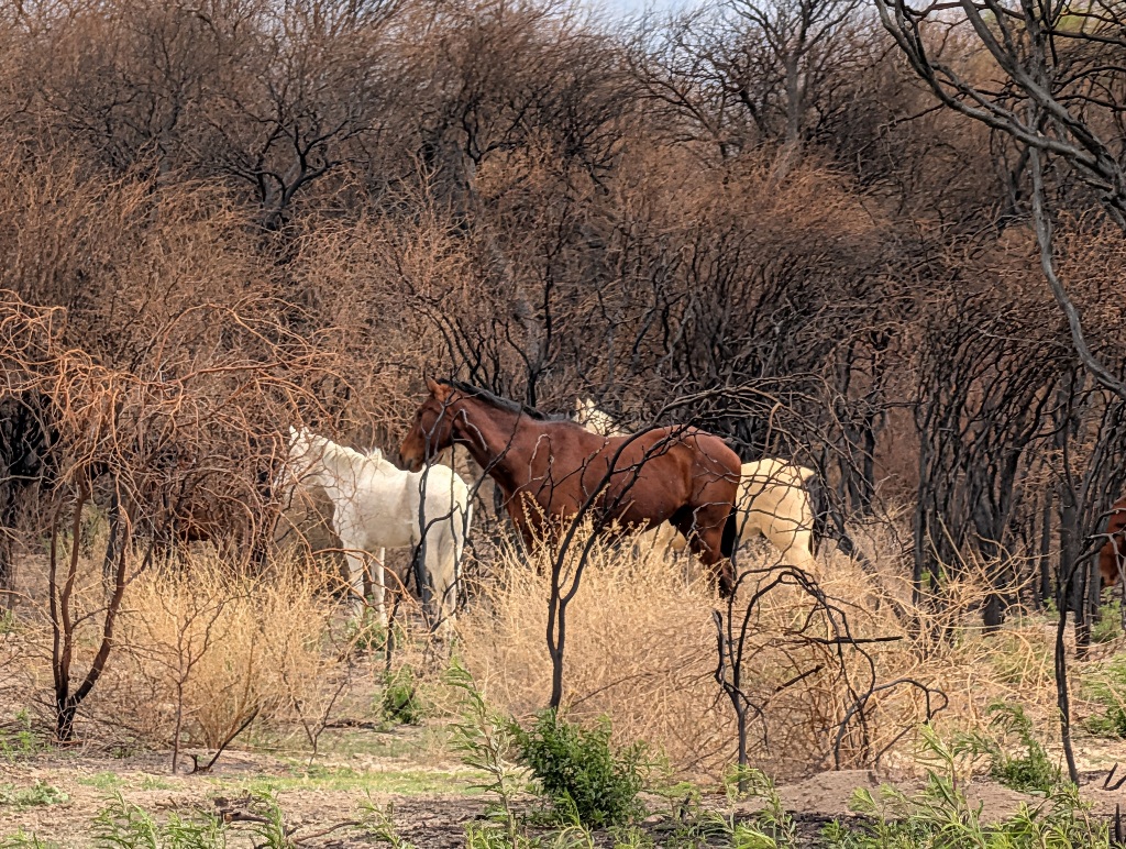
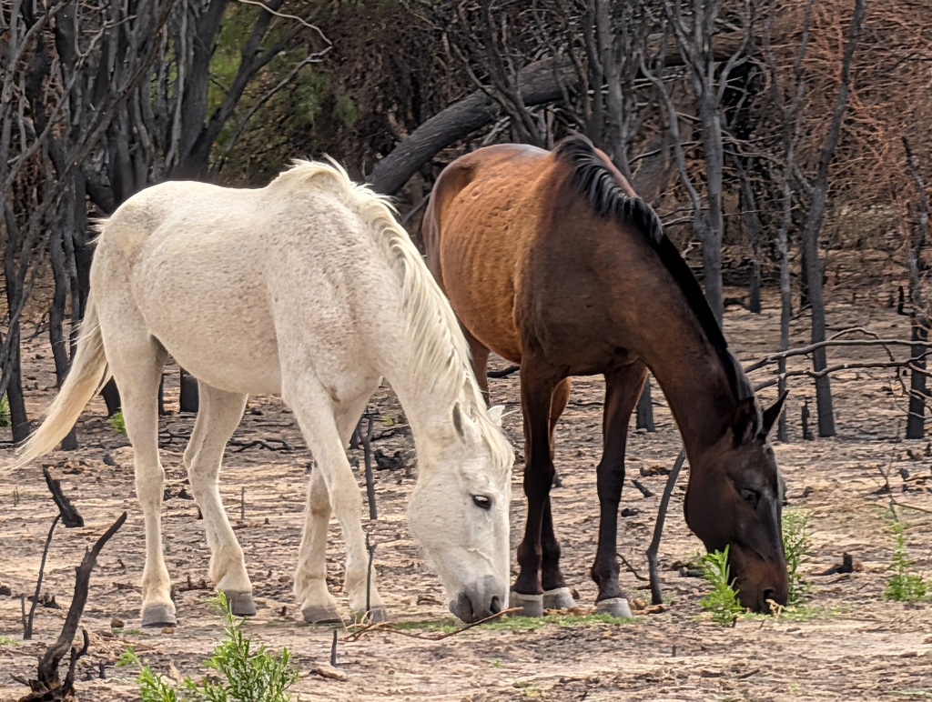
I am clueless about horses and that might be the way fit and lean horses look, but it seemed to me that the pickings were slim and the horses were malnourished.
But then again (coming back to a much earlier point), they were running free and not degraded by captivity and being on display, so that's all right.
Next stops were some waterfalls - or rather, three of seven waterfalls.
There is a series of waterfalls west of Cafayate and there's an easy walk to three of them and a much harder walk/crawl/scrambling over rocks to see all seven.
I opted for the shorter walk, which was tricky enough for me.
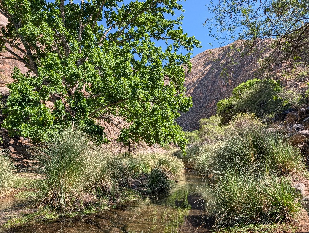
To get to the third waterfall, you need to inch your way along a rock ledge, with maybe a centimeter of a protruding ledge to stand on. And no hand holds. It's only three or four meters like this. And the drop to the river is maybe five meters. If anything goes wrong, you break a leg or two, but you probably won't die.
Everything went without a problem, of course (though I would have appreciated some safety rope to hold on to).
But if that was the easy walk, I didn't want to experience the difficult one.
Even with only three waterfalls to see, it was a nice walk on a sunny day, next to a small stream (that had a reasonable amount of water in it), so it was a fun walk (except for that one short segment).
The waterfalls themselves weren't impressive (mostly more cascades than waterfalls, two or three meters high). But that didn't matter.
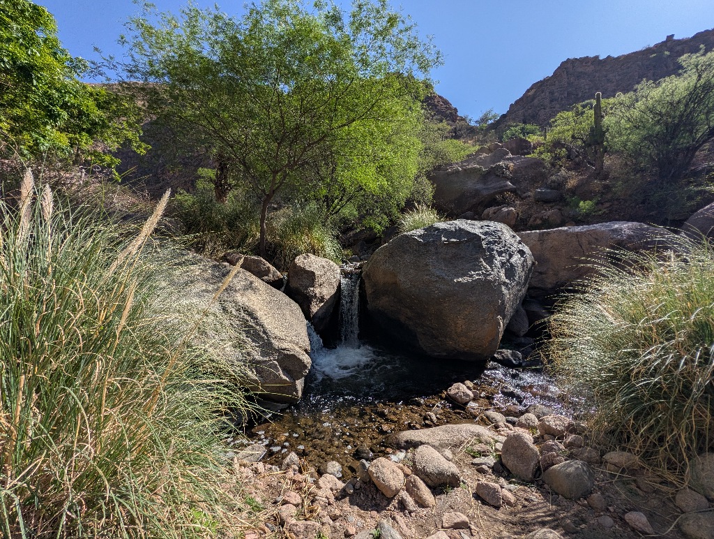
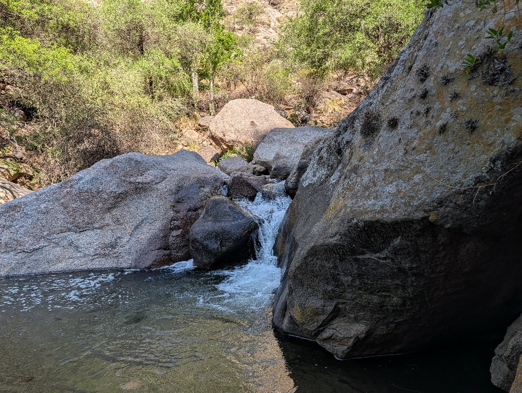
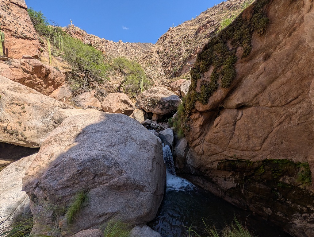
And there was a little spot where I could go for a quick dip in the water. (A fairly quick dip - the water was colder than I had expected.)
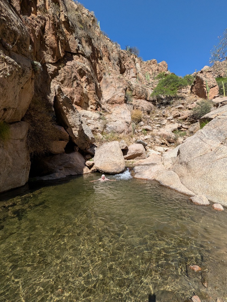
The scenery was nice, it wasn't too hot, a few goats roamed the area, and there were good places to relax, with a panoramic view of Cafayate in the background
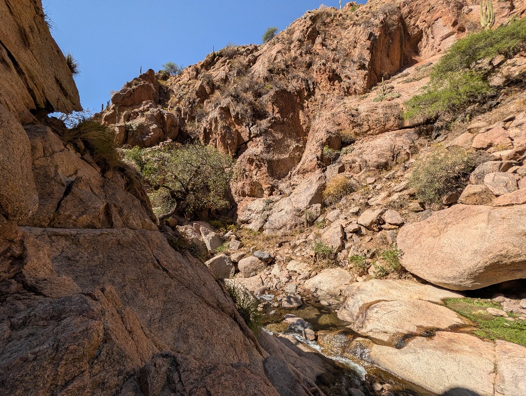
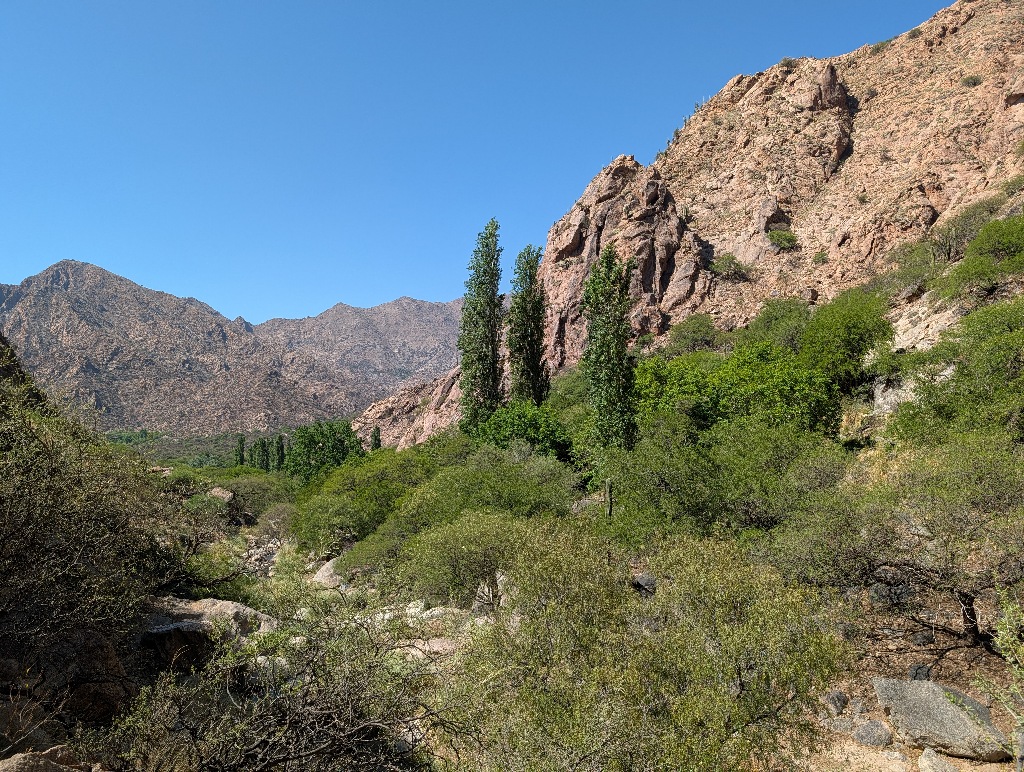
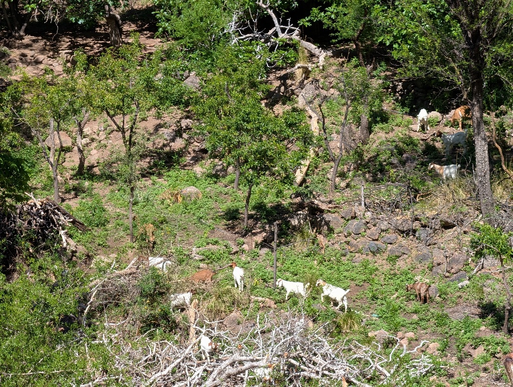
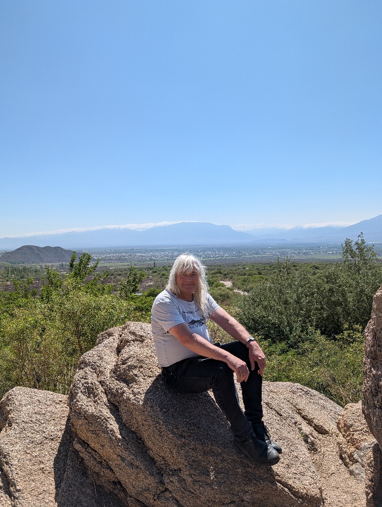
All in all, a good way to spend the day (maybe except for the dead parrots part) and to work up an appetite for a good steak-and-wine dinner in the evening.
Then the time in Cafayate ended and I had to drive back to Salta to catch a plane back to Buenos Aires.
This time I took the (much easier to drive) Ruta 68.
Which is a road with many stopping points along the way. (At least on the first 70 km or so. The final stretch to Salta is the part to drive straight through.)
The first stop at the Quebrada de las Conchas turned out to be the best one, as it provided the most variety. Other stops were more impressive, but there was mostly only one point from where to appreciate it. Everyone went to that spot, was impressed, took a picture and drove off again.
The first stop, however, was at a point where an ancient river bed had made its way through the rocks.
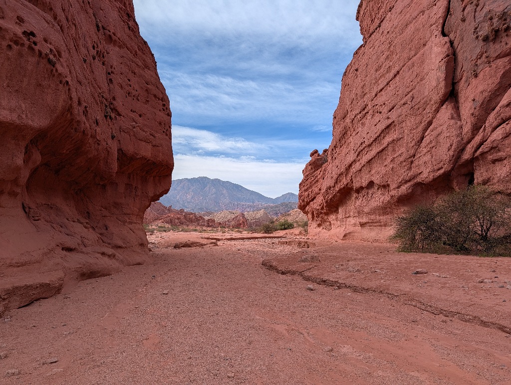
At least I assume that it was an ancient river bed. I hadn't seen any bridge or culverts where it crossed the road, so it is probably not a riverbed still has sometimes water running in it, even in the rainy season.
There must have been a lot of water in ancient times, though, as there wasn't only the riverbed itself, making its way between the rocks, but most of the rock formations at the sides looked like they were formed by water erosion.
It was an exciting area to walk around in, with many small caves, tunnels and interesting rock formations.
And there wasn't any obvious 'best bit' or 'famous rock formation', which meant there wasn't any well-trodden path to follow, but a wide landscape to explore. It made sense to more or less follow the river bed, but that was wide and there were many options to take detours along the sides.
A pleasant side effect of this being a river bed once, was that most of the ground had been washed flat. It was possible to walk to the rocks and the nooks and crannies in them without having to climb or scramble over rocks.
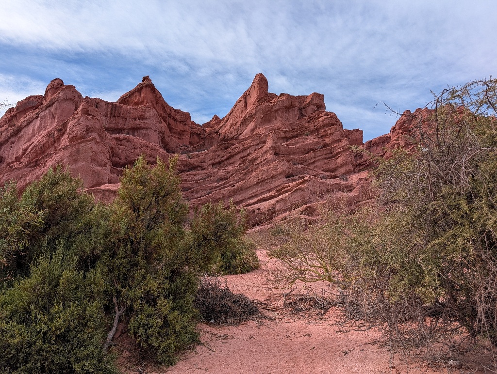
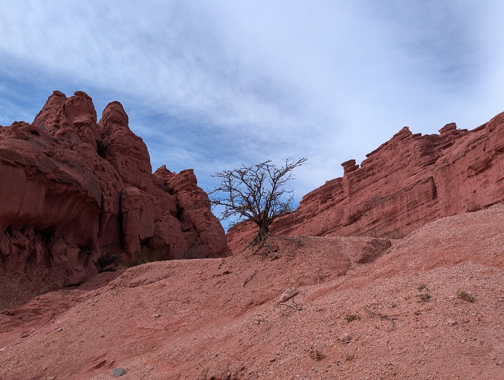
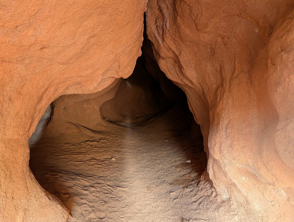
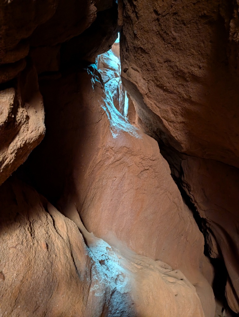
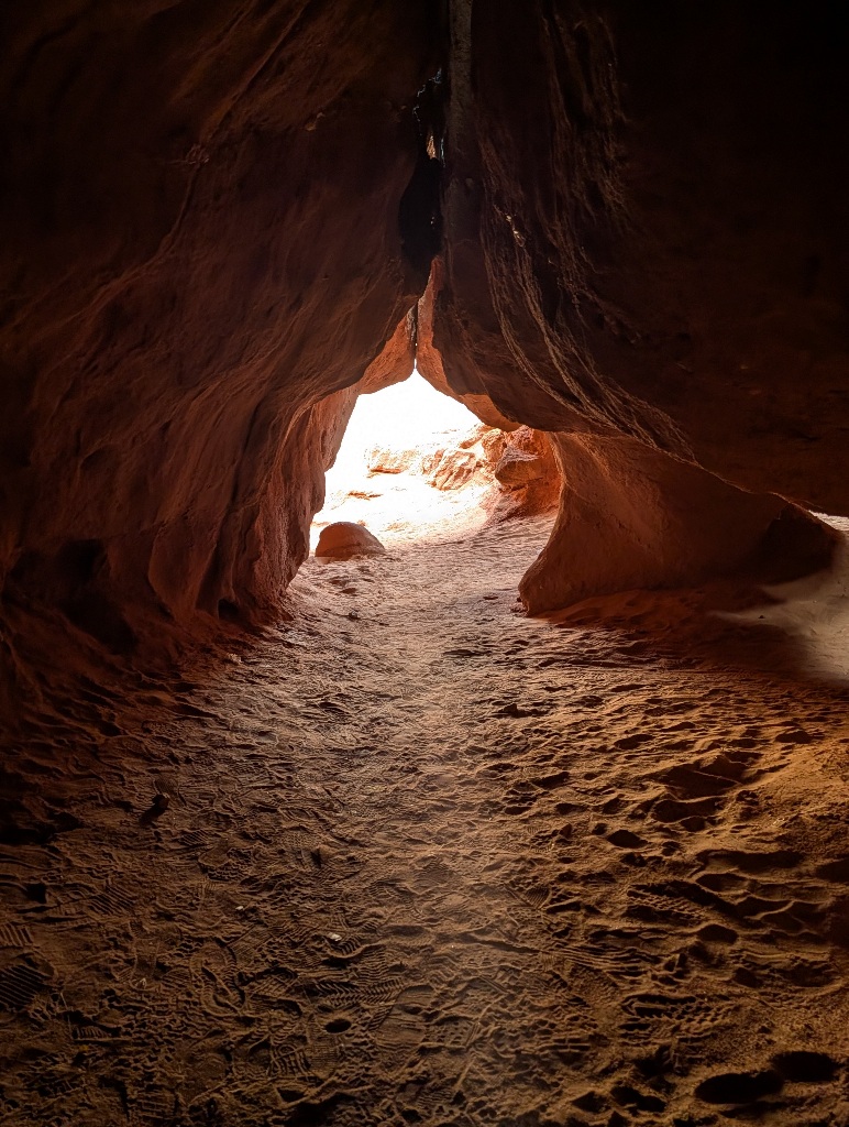
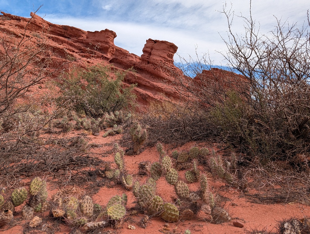
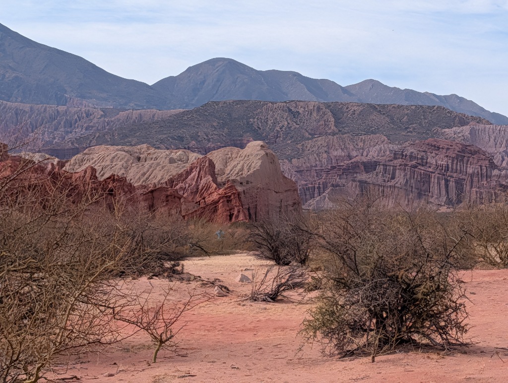
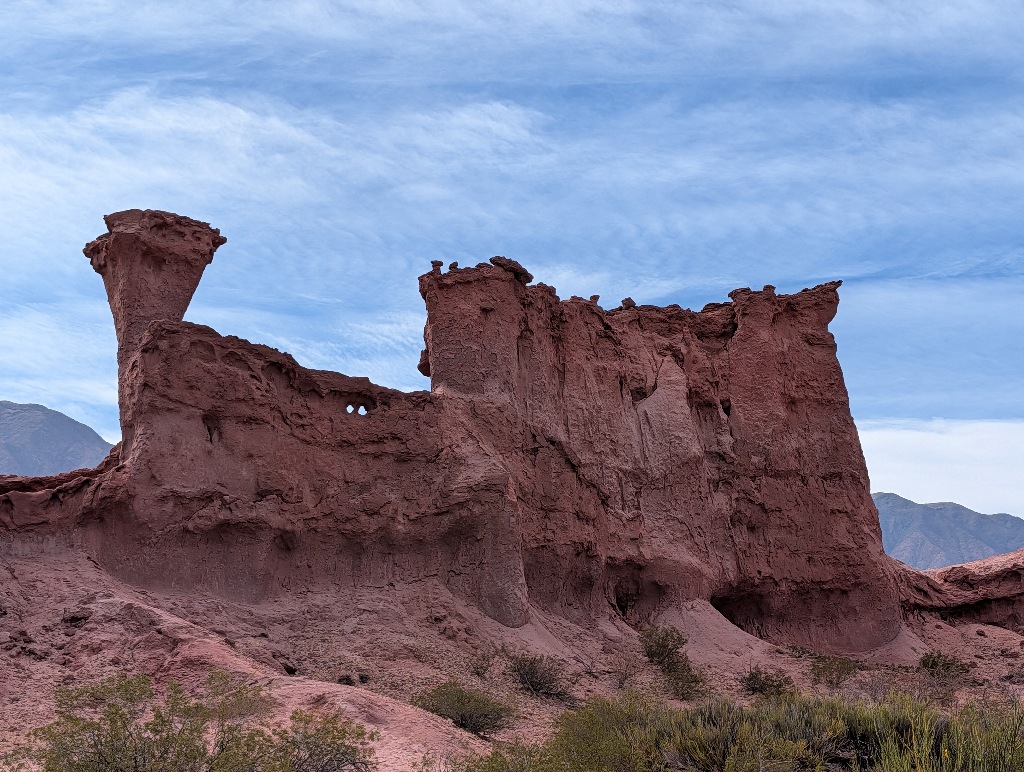
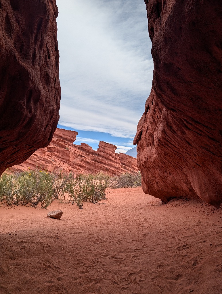
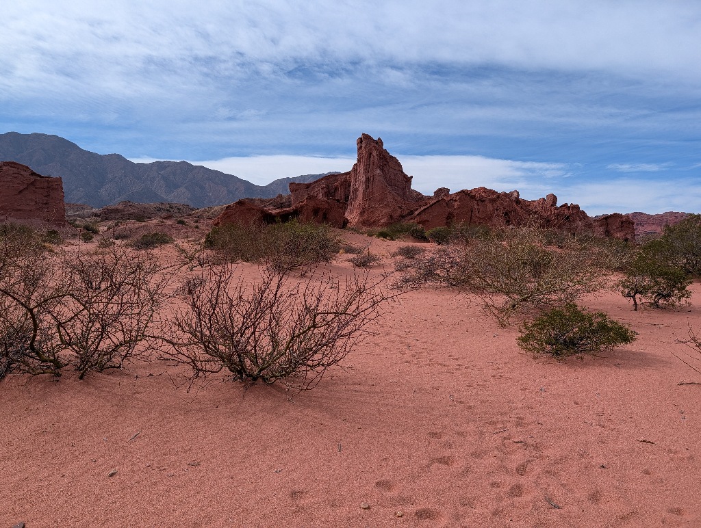
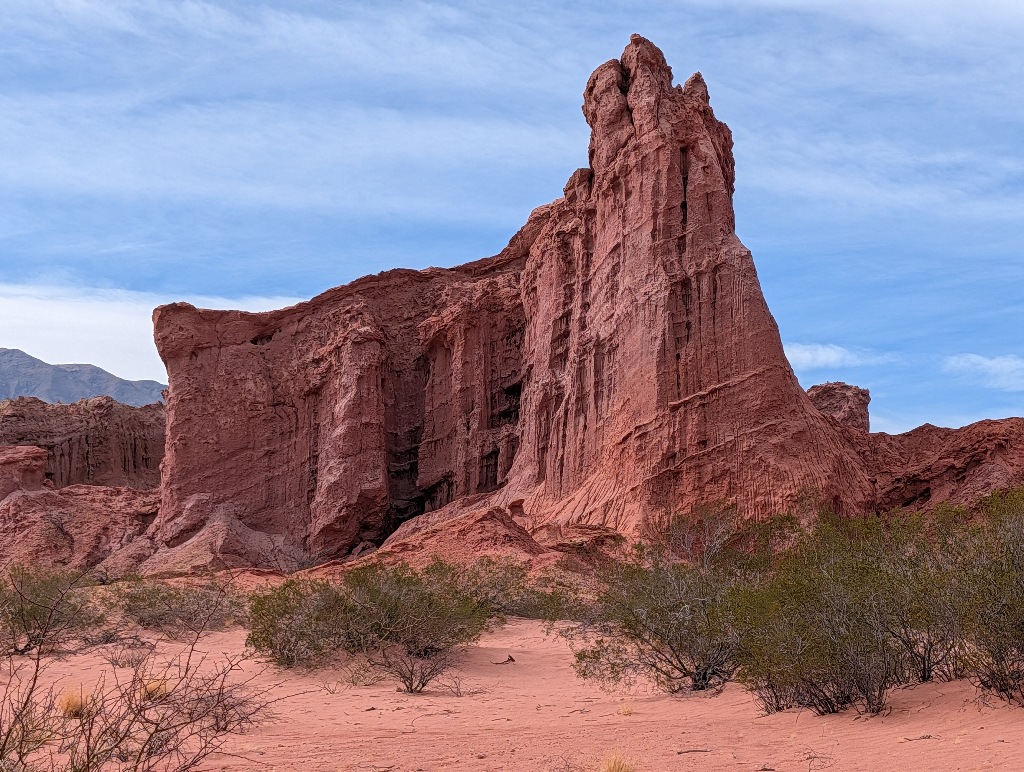
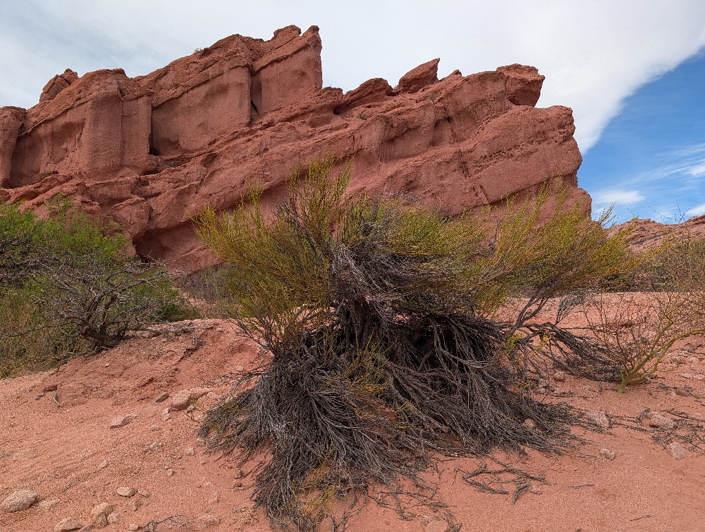
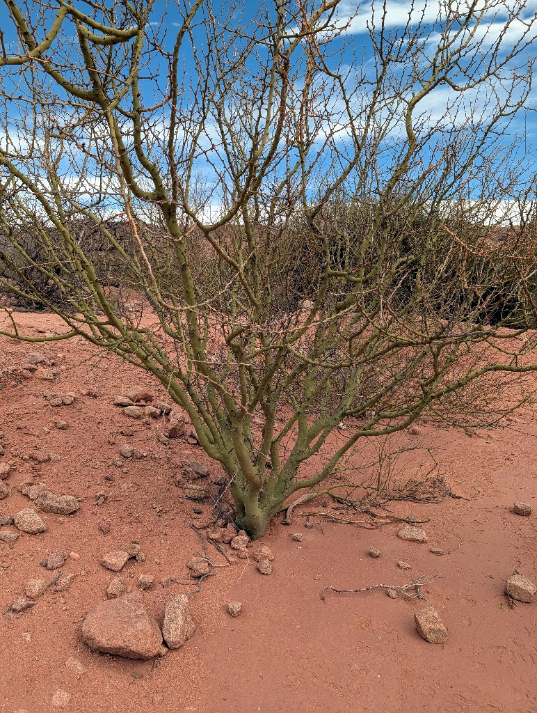
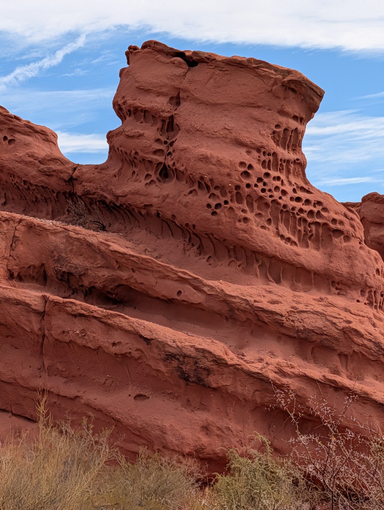
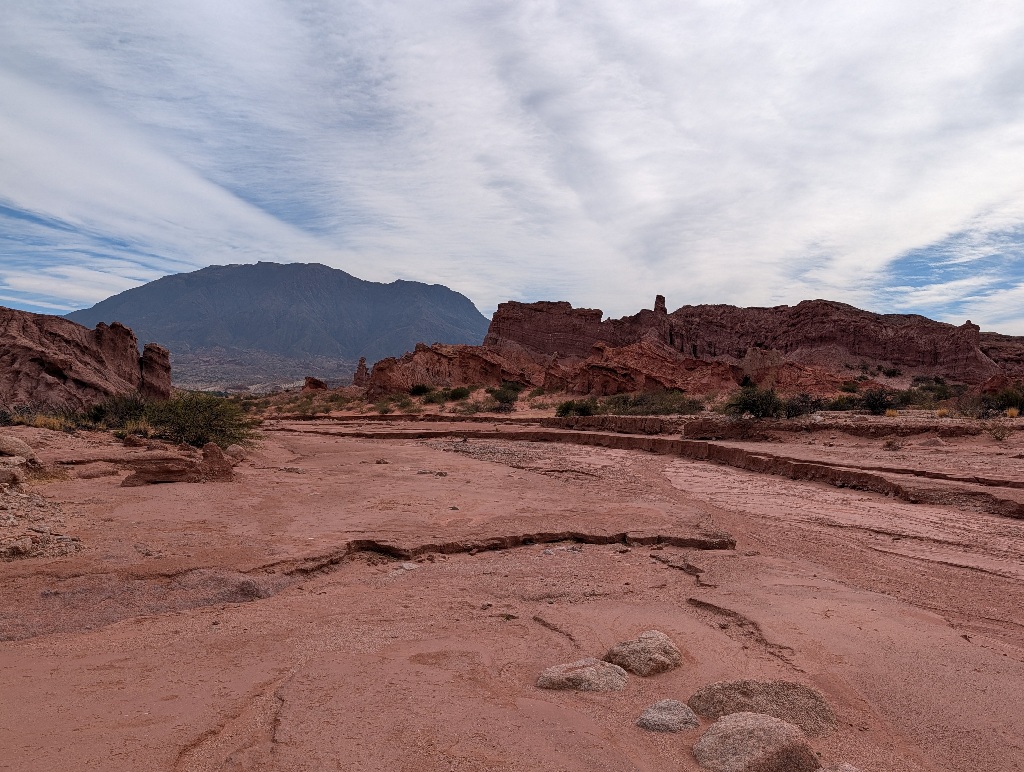
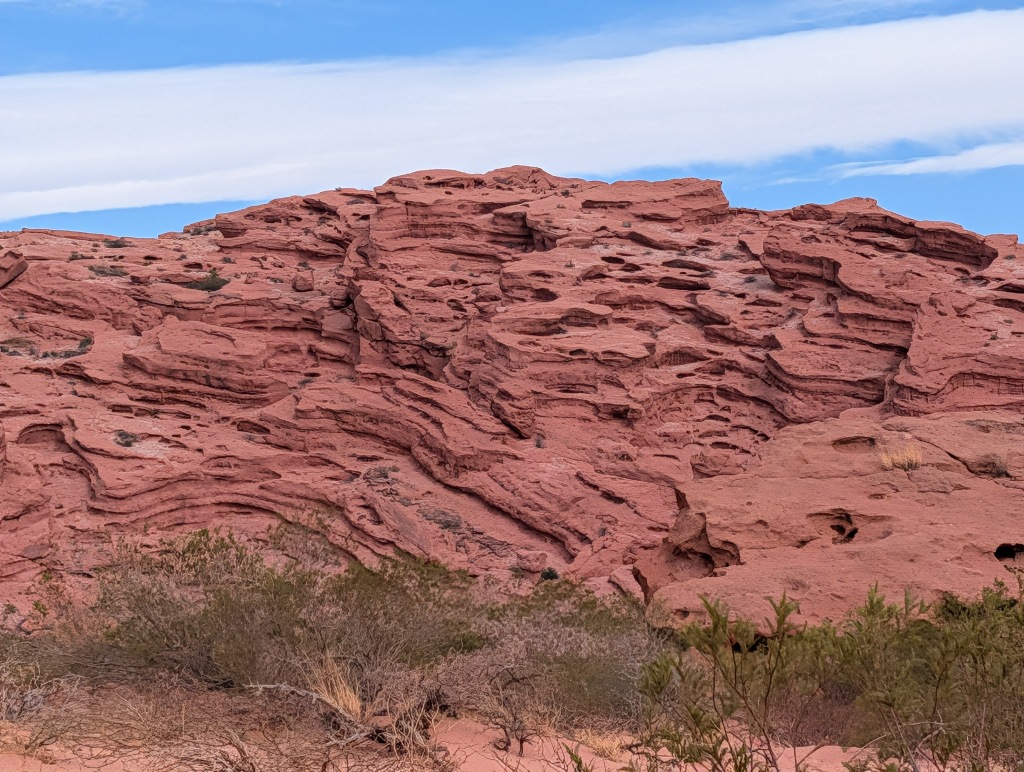
It is an amazing landscape to walk around in. (Although, of course, I am not that often in near-desert environments. I assume that someone from Arizona will wonder what the excitement is all about.)
And I had the place mostly to myself, sharing it with a few birds and donkeys.
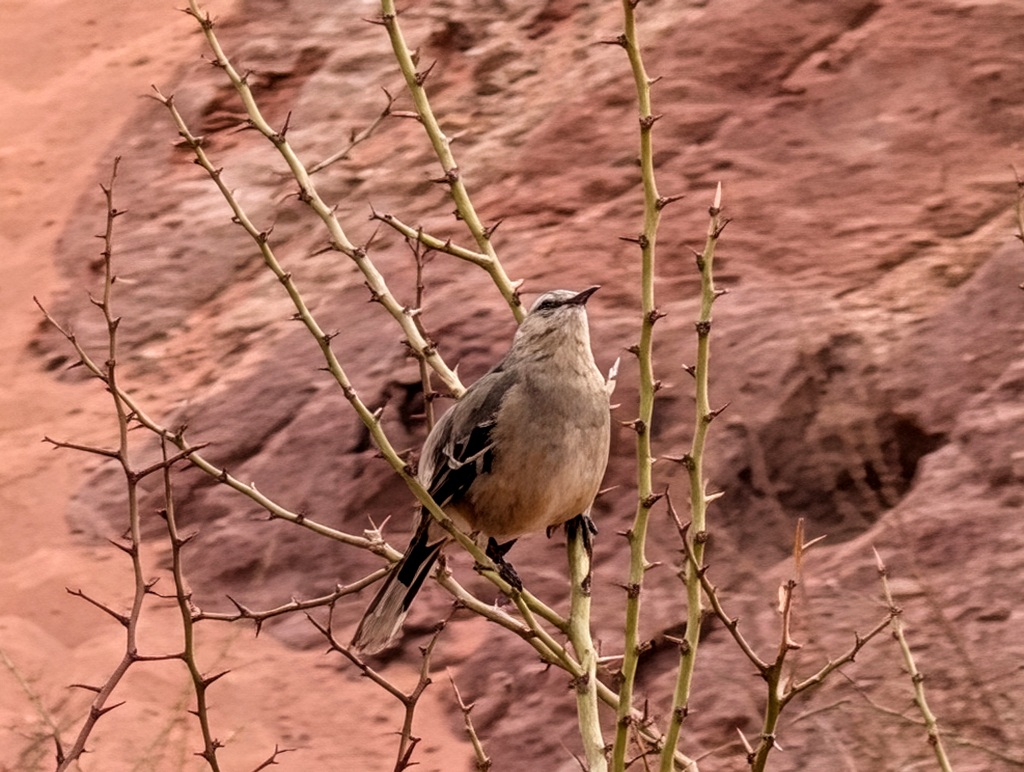
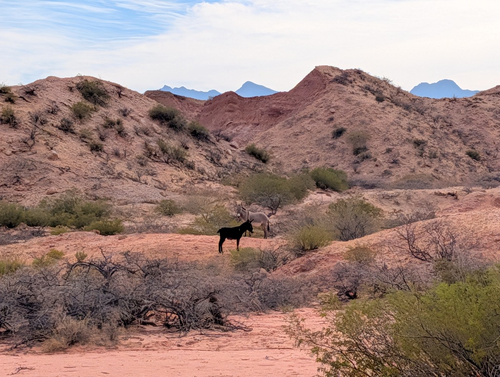
Having the place all to myself was easy to accomplish. It sounds cynical (and it is), but the trick to this is walking more than 500 meters away from the parking lot.
I spent most of the morning in that place.
Later stops were mostly about a single attraction each.
I stopped, looked at the attraction, took a picture and moved on.
The one attraction that everyone is cynical about is 'The Toad'
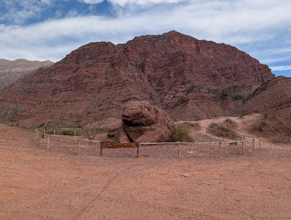
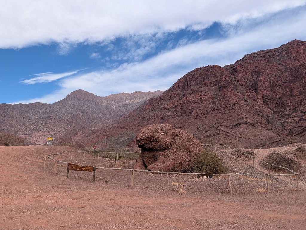
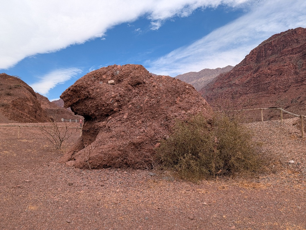
Almost every pile of rocks resembles a toad in some way.
And this particular pile of rocks doesn't even look that toad-like. (It looks more like a woodchuck to me.) That someone needed to add a white rock where the eye is supposed to be doesn't help much either.
Everyone who stops there does that mostly to make fun of it.
Next to it, however, is a small hill that offers a nice view (including a river with some water in it - a rare thing in those parts). That makes stopping at The Toad worth it.
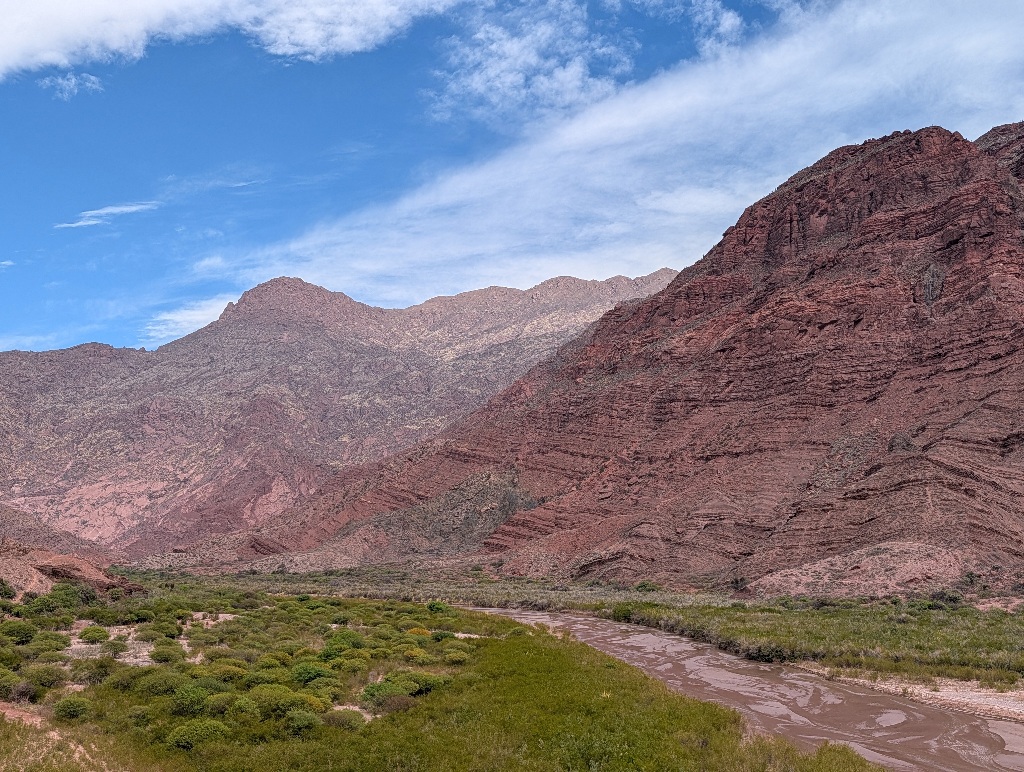
But that's all to do at that point. Into the car and onwards...
Next stop was near some rocks with 'window holes' in them.
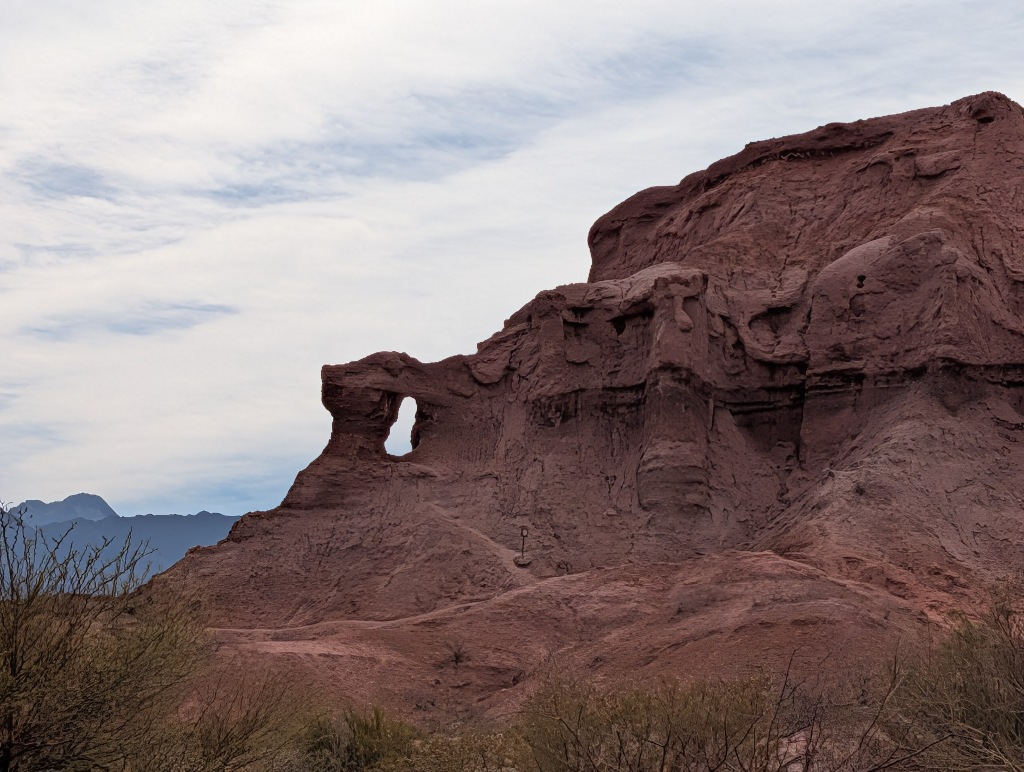
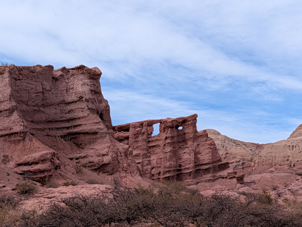
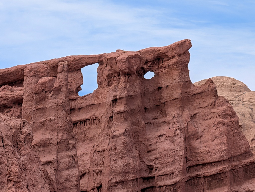
The look impressive. But it's difficult to be impressed by them for more than a minute or two.
And most visitors don't even spend those. I was the only one who had actually stopped there to take some pictures.
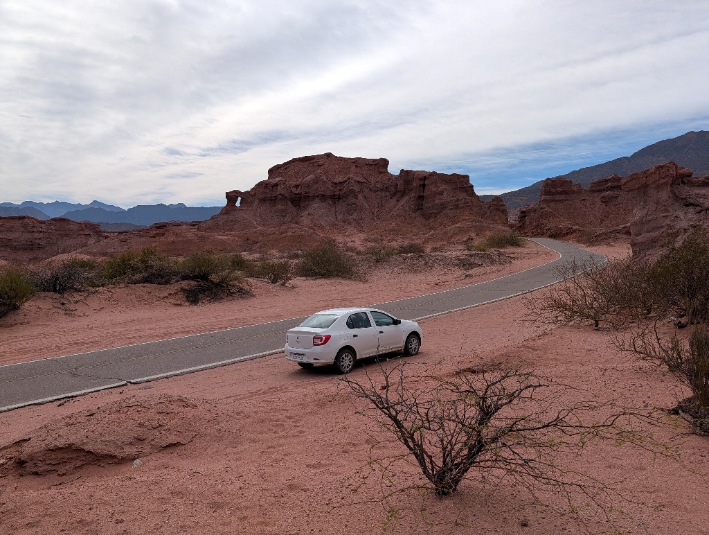
The next stop was busier. Not really a huge crowd, but important enough for tour busses to stop there.
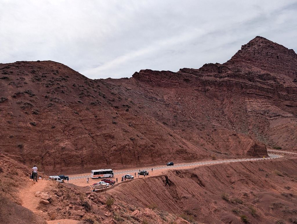
A short uphill walk led to a viewpoint that had a good contrast between the green valley next to the river, the red rocks it flowed through and the blue skies above.
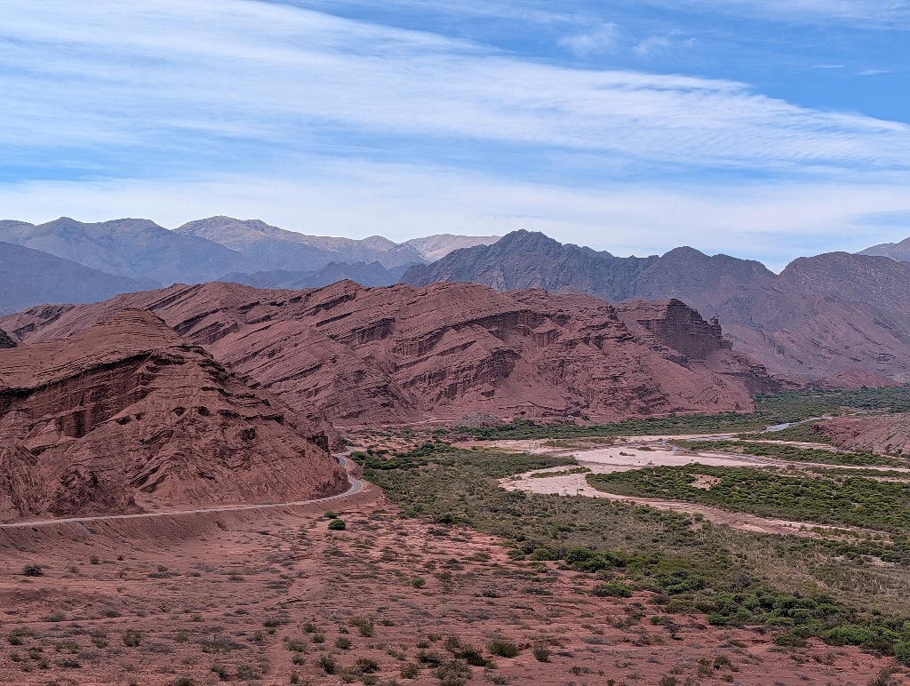
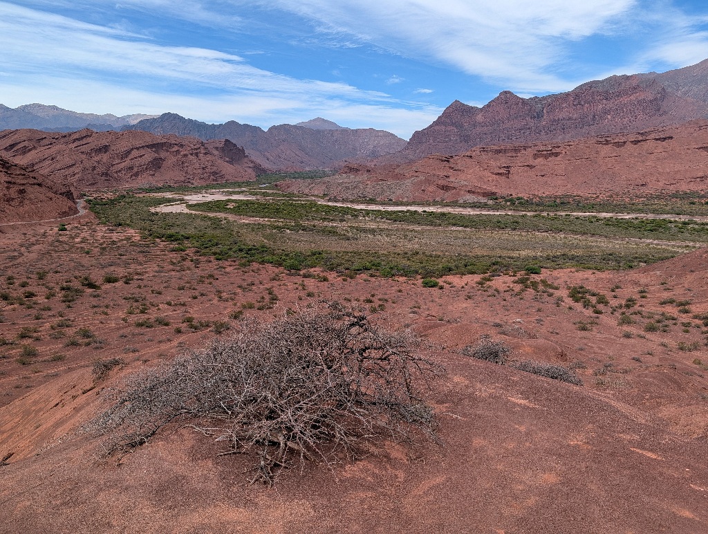
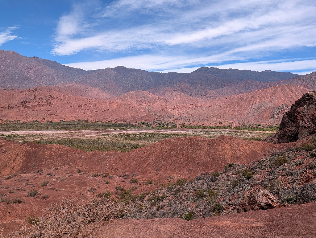
The next place to visit was a dead end.
A supposedly well-sounding dead end, but nonetheless...
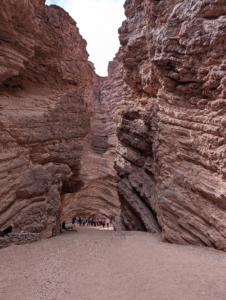
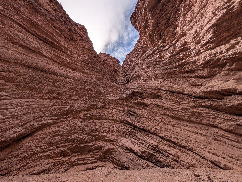
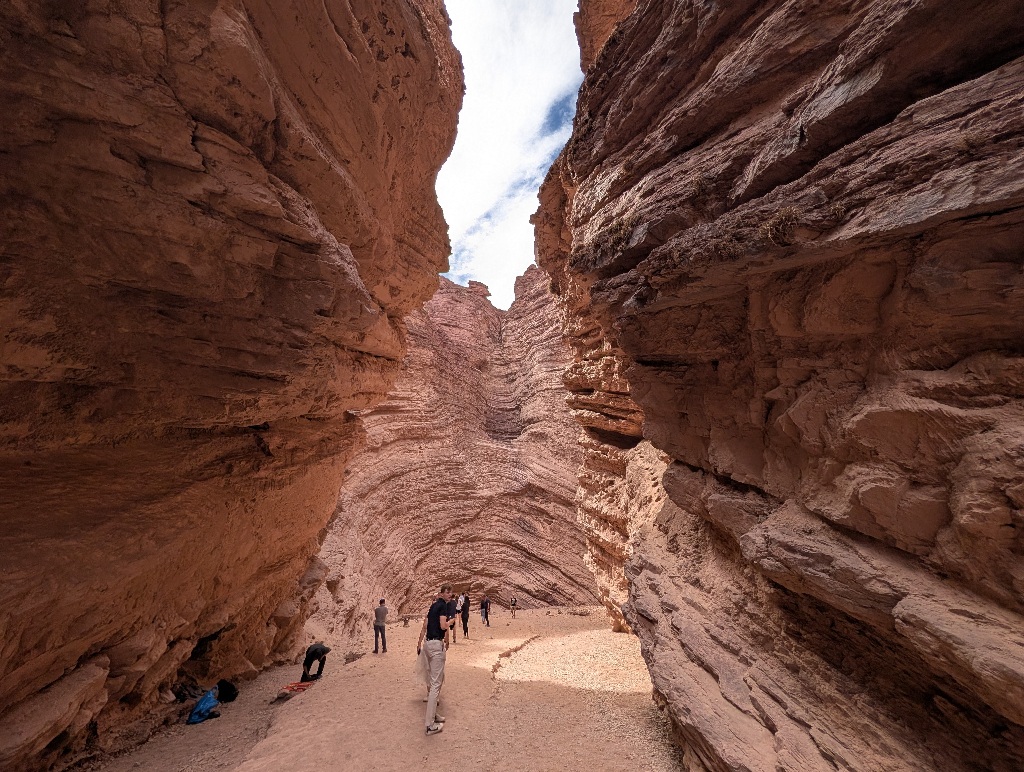
It is called "The Amphitheatre" and supposedly it has good acoustics. So there's usually someone in there, playing some instrument and collecting money. I considered myself lucky that there was a guitar player when I was there. It could have been someone playing "El Condor Pasa" on pan flute just as easily.
Without the music, it's surely a nice place. But it's about a hundred meters from the road, so you park the car, go in there, say "Yes, nice without any pan flutes." and leave again. While I don't dislike that, I enjoyed the first stop of the day a lot more.
The next 'default stop' is only a kilometer away. It's another "Garganta del Diabolo" (which is a popular name for landscape features in this part of Argentina).
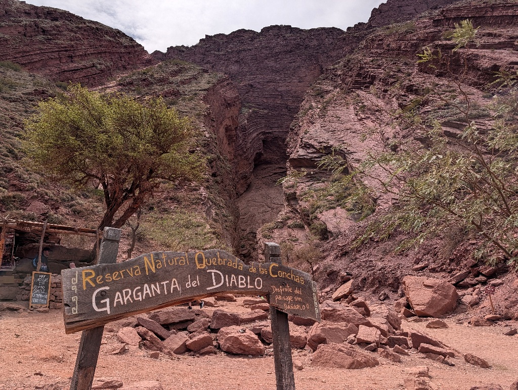
For tourists, it's another dead end.
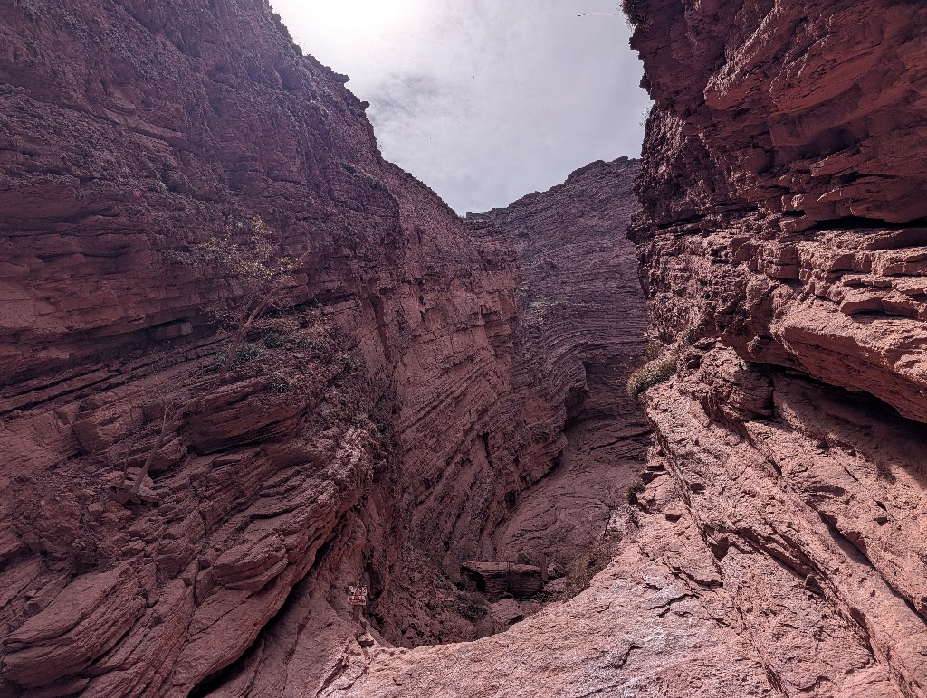
It isn't really a dead end. There's a narrow canyon and a sloped rock wall between the sides. You can easily climb over that wall. But there are signs telling you not to do that, making it officially a dead end.
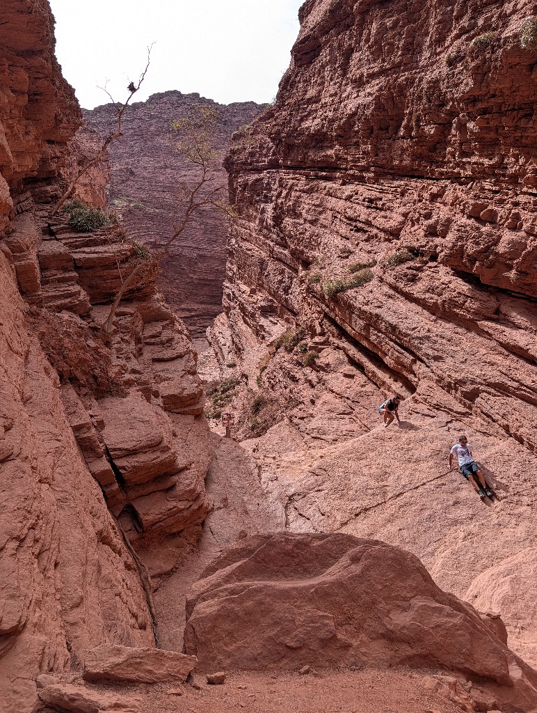
Not that visitors won't go over the wall anyway...
There are some sellers of souvenirs (mostly jewellery, which made it feel different from the usual ponchos with llama motifs on them).
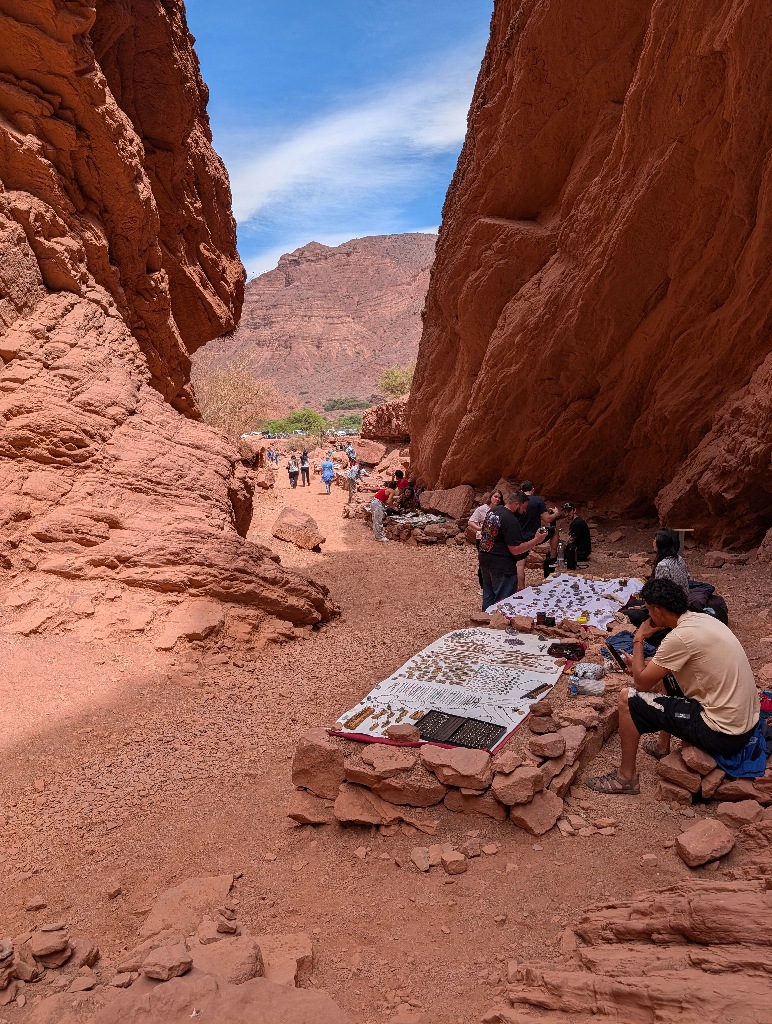
The good thing about that was the street food stand, which was also there. A good opportunity to have some cheese tortillas and empanadas for lunch...
Not too long afterwards I reached the end of the mountainous area.
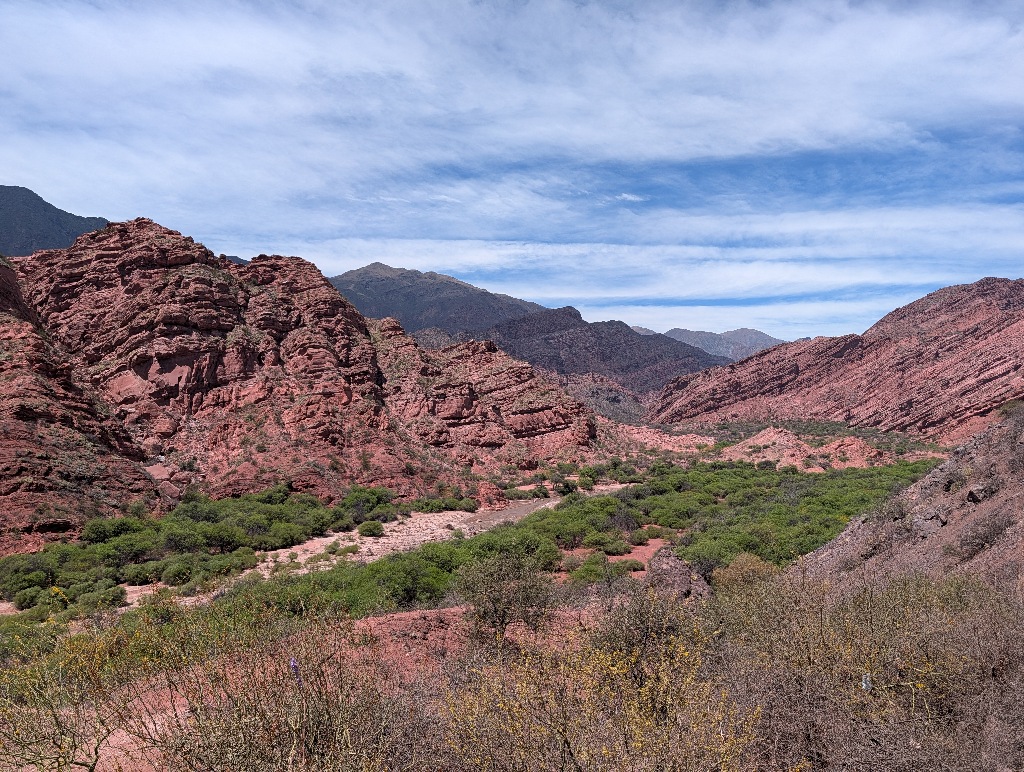
The final section of the road to Salta was flat, with not much to see.
I was getting near to the end of the vacation.
Next morning, I returned the rental car and took a flight from Salta to Buenos Aires.
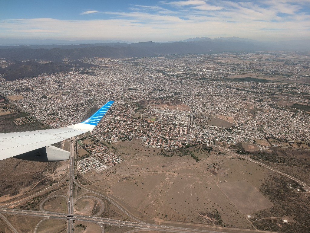
I had a 'buffer day' in Buenos Aires, but didn't do much except walk around.
At least I found that "Place name in big letters" posed a problem for the city and how they solved it.
In most places, the more important a place considered itself to be, the larger the letters were.
But if Salta has three-meter-high letters, then Buenos Aires would surely need six- or seven-meter high letters. But then spelling out Buenos Aires would make the city name more than 50 meters wide which makes it difficult to put them in a spot where people can photograph themselves with the city name and still be recognizable. (Yes, Hollywood manages to do that, but there, people aren't allowed to get close to the letters.)
The solution?
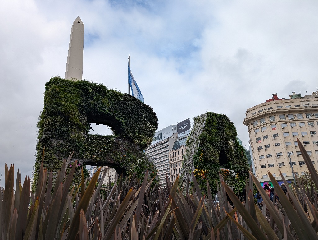
Using only the first letters, since "BA" fits easily on a city square.
That was the most interesting thing I noticed during that last day of walking around in Buenos Aires.
An obvious indicator that it was time to go home.
So I did.